
| “Pinch-points (also known as bottlenecks or choke-points) are areas where animal and plant movement is funneled through narrow linkages. Pinch-point modeling methods are based on current flow models from electrical circuit theory. Locations where current is very strong indicates constrictions where linkages are most vulnerable to being severed… Pinch-points can be the result of both natural and human-made landscape features. Pinch-points may be conservation priorities as they are locations where loss of a small area could disproportionately compromise connectivity because alternative movement routes are unavailable. Loss of these areas may sever migration routes or impact other important movement needs.”* ___________________ *Source (with minor modifications) Washington Wildlife Habitat Connectivity Working Group—>Columbia Plateau Ecoregion Addendum: Habitat Connectivity Centrality, Pinch-Points, and Barriers/Restoration Analyses |
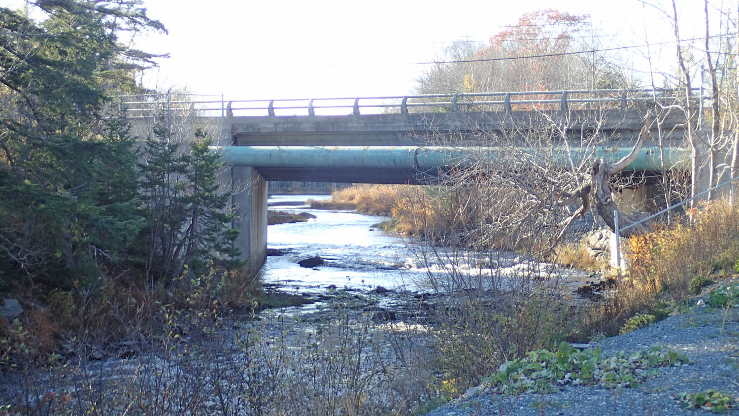
One such pinch point in the proposed Sandy Lake-Sackville River Regional Park lies at its NW corner where there is only a narrow band of undeveloped or minimally developed land bordering the Sackville River.