
The “Missing Wetlands”
The “Missing Wetlands” illustrate the limitations of relying on desktop studies alone to predict effects of development on Sandy Lake water quality.
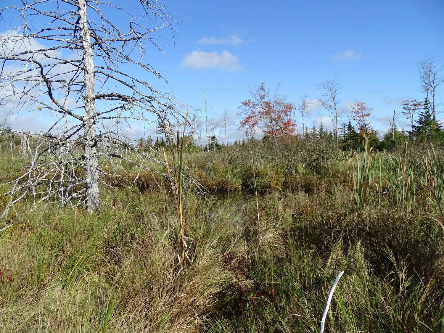
NIA1, one of the “Missing Wetlands”
Click on image for larger version
These days we rely heavily on the digital world to guide our actions. With ever-improving satellite imagery, geographic information available on interactive digital maps gets ever more detailed. Also, more and more of the data accumulated in paper reports over the last 100 years or so get digitized and made readily available. And the models for predicting the values of “missing data” and future trajectories become ever more sophisticated. But there are still limitations and still a need, often not recognized, for on-site inspections and getting up-to-date real data (versus values predicted from models).
A case in point: on October 2 of this year I did a quick tour of streams that ultimately converge on the inlet to Sandy Lake at its southwest corner so I could get water samples; I would then measure their salt content in an attempt to sort out how much of the salt entering Sandy Lake is derived from the different streams and the areas they drain. (View this post for more about ‘the salt problem’.)
In the process I had to tromp through a large wetland just north of Hammonds Plains Road to get a water sample. It turned out that this wetland (“NIA1”) is not identified as a wetland on the Provincial Landscape Viewer, rather it is a ‘polygon’ (GIS jargon, meaning the boundaries around a particular feature) for which the message “No Information Available” comes up when you click on it. This is a big wetland that holds lots of water, and a lot of water passes through it. That can be beneficial for Sandy Lake water quality because wetlands can remove nutrients that otherwise could cause excess production in the lake.
Later, I re-read the 2014 AECOM Report (Sandy Lake Watershed Study Final Report) from beginning to end for probably the fourth time, this time to find out what it has to say about these and other wetlands and their effects on nutrient levels.
The AECOM Report has done a very good job at compiling ‘what is known about Sandy Lake’ in general and about the role phosphorous in lake water quality specifically and I always get something out of re-reading it. But it has little to say (nothing) about how wetlands might remove nutrients passing over them, in fact for the UPWWTF, it assumes that the tertiary treatment does nothing. And the Big Wetland that is not identified on the Provincial Landscape Viewer wetland layer is likewise not identified as a wetland in the AECOM report (although it is identified in one map as lying in areas with “Type 1 Constraints”).
That all led me to do a review of AECOM’s use of the model they applied to predict effects of development on Total Phosphorus, and hence on water quality of Sandy Lake.
My conclusion:
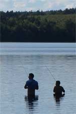
Fishers at Sandy Beach
“If development of the area goes ahead without a more objective evaluation of its impacts on Sandy Lake – and allowing the possibility of concluding that only very restricted or no development is possible without seriously harming the lake – then we will likely lose an incredibly valuable resource for both wild and human residents and visitors of the area.”
Read the whole story here.
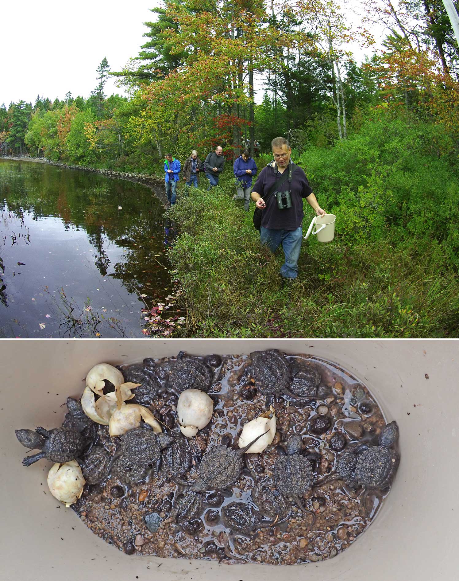
A Turtle Watch volunteer leads a group
of helpers to place turtle hatchlings in fringing
wetland just southwest of Sandy Lake Beach