Drafting….
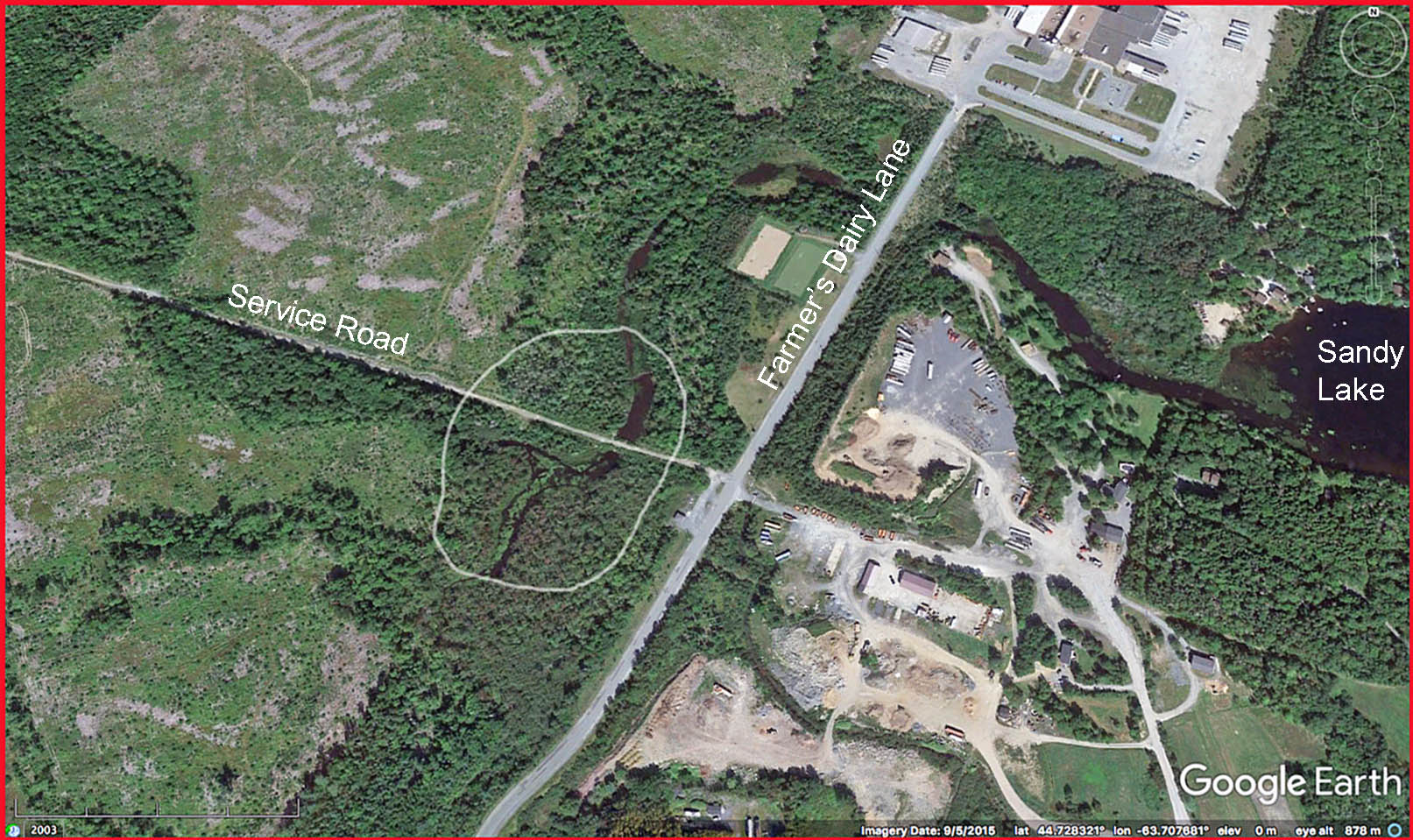
“Murphy’s Pit” , as far as I am able to determine, refers to the area just west of the dairy road where several streams converge and then flow into Sandy Lake as one stream.
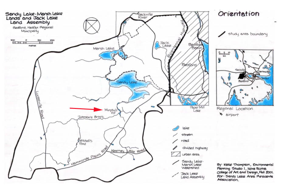
Map from Thomson 2001
Murphy’s Pit Convergence is circled
It’s an area of significant marshes/swamp and floodplain forest, also identified in the Natural Wonders Consulting Avian & Species at Risk Surveys as an area of Snapping Turtle movement and attempted, if not successful, breeding.
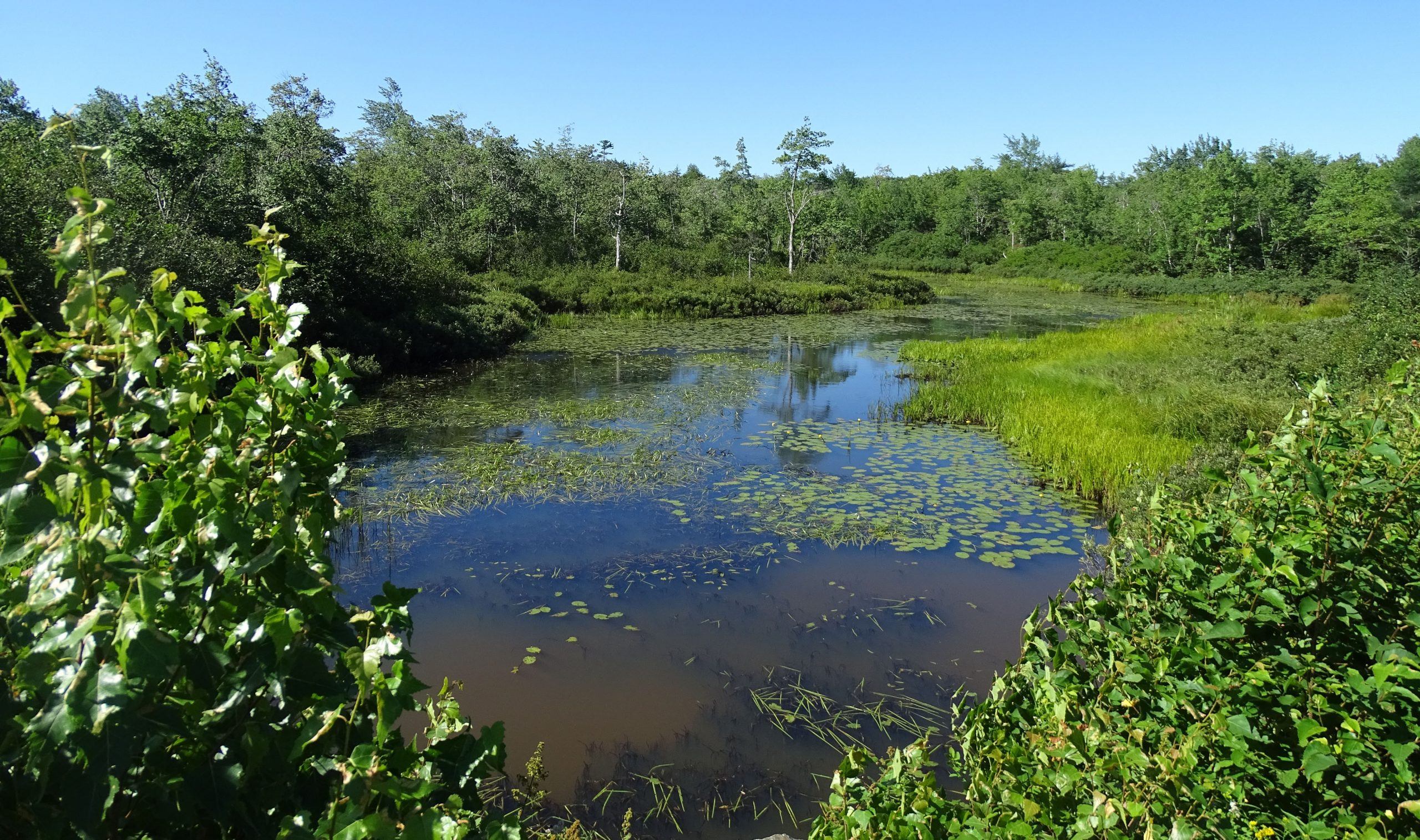
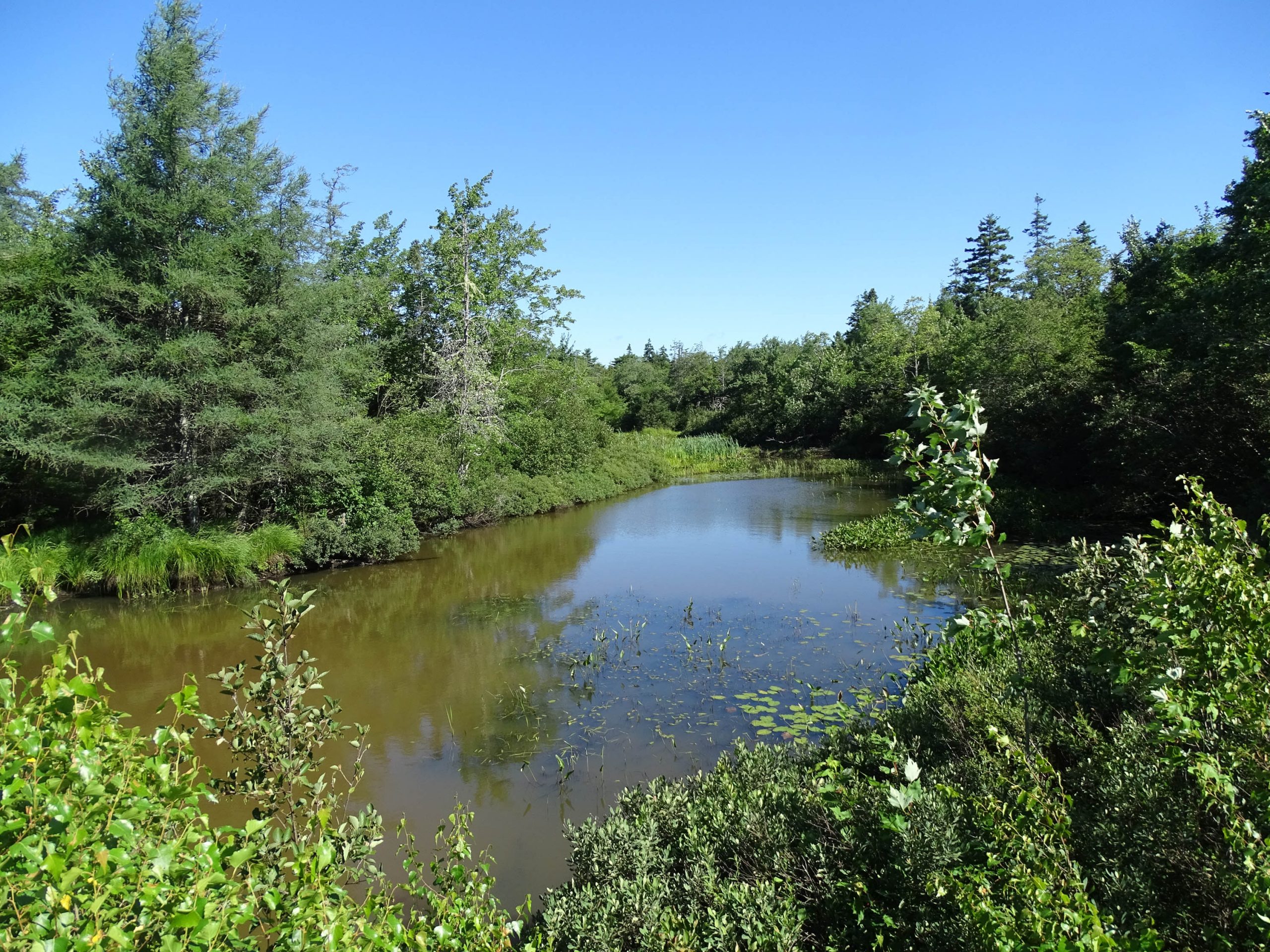
View looking south from the service road in the area of Murphy’s pit. View location on Google Maps. Several streams converge in this area; open water is bordered by marshes and some of the forest is likely wet riparian (floodplain) forest. Photo Aug 20, 2020. This area is important habitat and local migration corridor for snapping turtles.
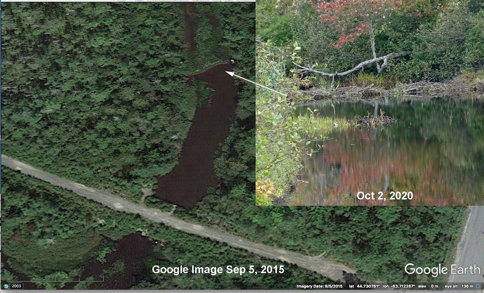
View looking north from the service road in the area of Murphy’s pit. There is a beaver dam holding water back in the distance;