
 From HRM News Release:
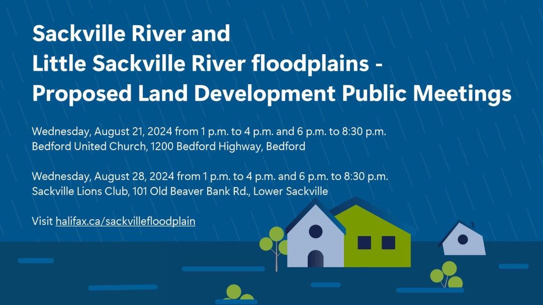
The Halifax Regional Municipality is inviting residents to provide their feedback on new proposed land development regulations for the Sackville River and Little Sackville River Floodplains.
The proposed regulations have been developed to carry out the recommendations for development control as outlined in the 2017 Sackville Rivers Floodplain Study – Phase II report. The mapping produced under this study was recently updated to account for changes that have taken place within the floodplains since 2017.
Residents are invited to attend these meetings to learn more about the proposed land development regulations and provide their input.
View HRM Sackville Floodplains
Public Meetings
Two public meetings will be held on each day listed below. The first meeting on each day will take place from 1 pm – 4 pm, and the second meeting will take place from 6 pm – 8:30 pm
Wednesday, August 21 – Bedford United Church, 1200 Bedford Highway, Bedford
Wednesday, August 28 – Sackville Lions Club, 101 Old Beaver Bank Road, Lower Sackville
The first part of each meeting is designed to allow people to speak with staff, with presentations beginning at 2:30 pm and 7 pm each day. Following presentations, there will be an opportunity for participants to ask questions.
For more information visit halifax.ca/sackvillefloodplain .
Also view:
Bedford, Sackville councillors, environmental activist call for action on floodplain report
Yvette D’entremont in the Halifax Examiner July 27, 2024
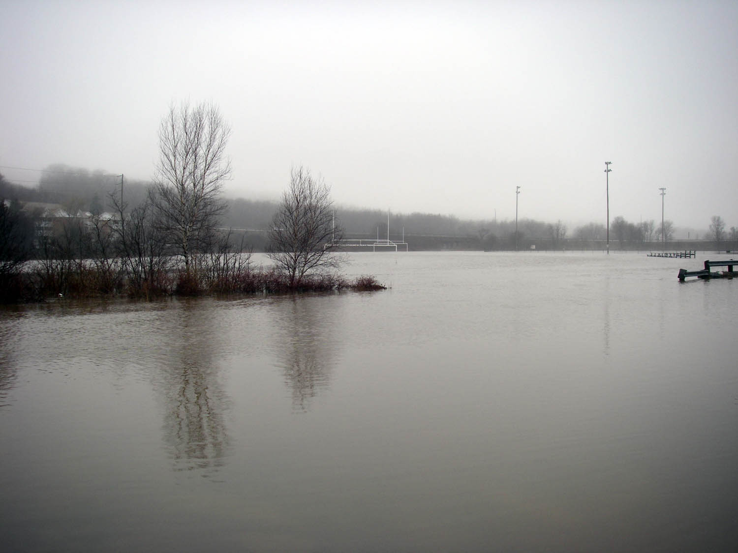
The impacts of Friday’s historic flooding in the communities of Bedford and Sackville underscore the urgency of replacing outdated flood plain maps with newer ones found in the 2017 Sackville Rivers Floodplain Study.
That’s the messaging delivered by Walter Regan, past president of the Sackville Rivers Association. He believes the change could’ve helped mitigate some of the flood damage in the Bedford-Sackville area.
Sackville River over its banks on Apr 4, 2009
In an interview, Regan said it’s time Halifax Regional Municipality passed and zoned the study’s flood plain maps. The environmental activist has spent more than 35 years advocating for and protecting the Sackville River.“I see flood plain zoning the same as why you wear steel toed boots or a hard hat or a seat belt. It’s a preventive measure. And it also saves money, it really does. It saves tax dollars,” Regan said.
It’s also notable that the possible impacts of significant additional development in the Sandy Lake Watershed on downstream flooding were NOT modelled in the 2018 Sackville River Floodplain study. I was told by consultant Alexander Wilson at an open house that’s because they had not been instructed to model the Sandy lake watershed, presumably, he said, because it was assumed by HRM that there would be no significant additional development over the next 100 years! (Sandy Lake is the largest or 2nd largest sub-watershed in the Sackville River Watershed, depending on how they are aggregated.)
Nor was this issue addressed in a recent update to the model.
Surely that is a major issue that needs to be addressed.
– david p