
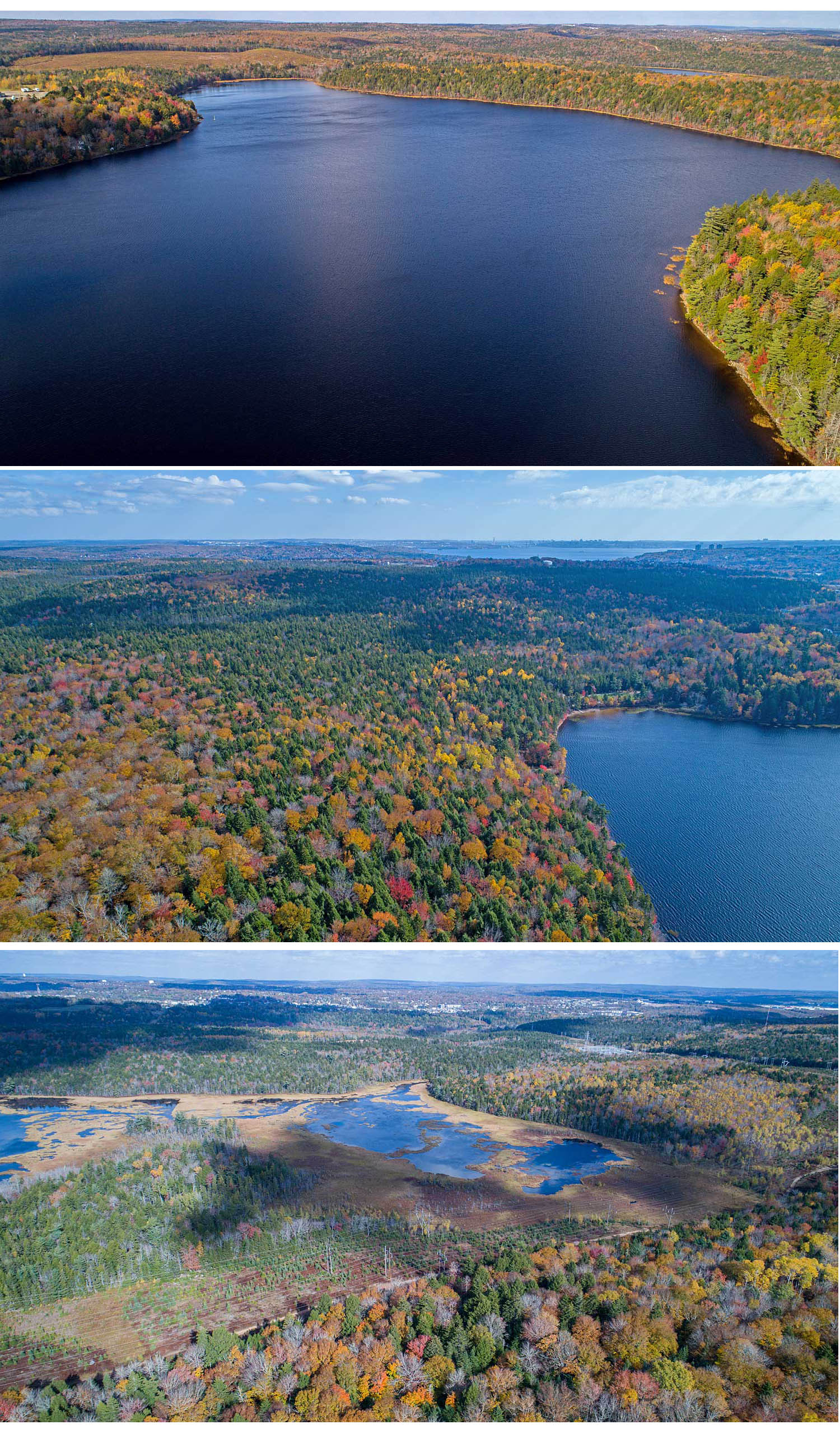
Great swaths of mixed Wabanaki/Acadian forest by Sandy Lake; bottom, Marsh Lake View more aerial vistas.
Click on images for larger versions
In conclusion, our latest limnological profiles further confirm a long term trend of decline in the health of Sandy Lake (Bedford, NS), and underscore why a major new development on its headwaters could “do it in”.
Update Oct 2, 2024: – Letter to Premier, Mayor of Halifax, Minister of Municipal Affairs and Housing, Minister of Environment and Climate Change (Oct 1, 2024)
————-
Sandy Lake is the diamond in a remarkable piece of land sandwiched between four growth areas (Lower and Middle Sackville-Bedford-Hammonds Plains-Lucasville Road) just NW of Bedford and the top of the Bedford Basin. The Sandy Lake watershed is the largest or second largest sub-watershed of the Sackville River Watershed, depending on how the sub-sub-watersheds are aggregated. That’s the watershed, Sandy Lake included, where salmon are coming back thanks to the efforts of the Sackville Rivers Association and its many supporters.
The large, still undeveloped area includes a wildlife corridor, now mostly a “stepping stone” but still critical for movement of wildlife/genetic transfer (plants included) between the Chebucto Peninsula and the greater Nova Scotia Mainland. It supports great swaths of Wabanaki/Acadian forest, most of it old forest with many pockets of Old Growth; there are even bear in the forests by the Sackville River. Marsh Lake, downstream from Sandy Lake is a “Treasured Wetland”. Thirteen Species-at-Risk make use of this landscape. Read more