
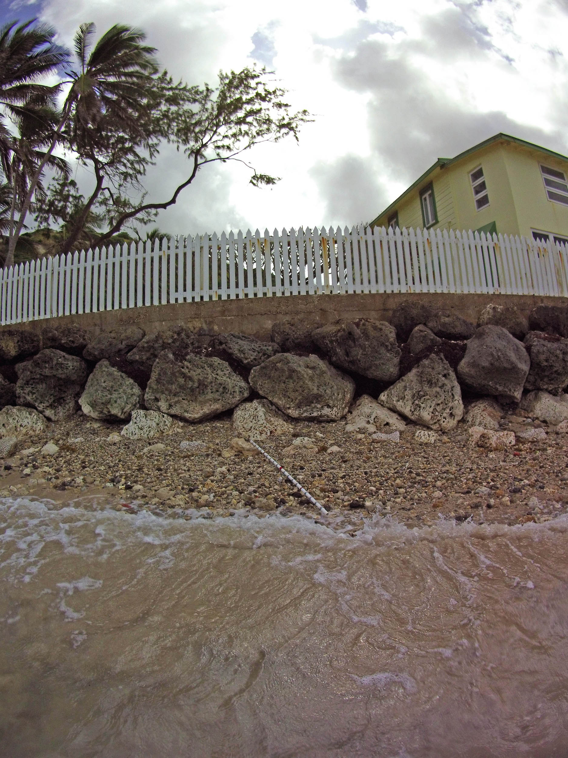
| NAVIGATION This page is a sub-page Historical Imagery, that in turn a subpage of ObsBath, a top-level page on the website Barbados Fringing Reefs and Seagrass Beds (www.versicolor.ca/barbados). Go to ObsBath for a list of other subpages in this section of the website. 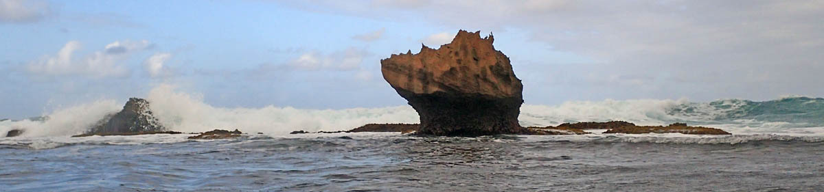 “Huge boulders of Pleistocene limestone, the work of long dead corals, take a battering in the breaker zone”. |
Subpages of Historical Imagery – Bath 1968-70 – Bath 1994 – Bath 2005 – Bath 2011-i – Bath 2011-ii – Bath 2015-i – Bath 2015-ii – Bath 2015-iii (This Page) – Bath 2017 – Bath 2024/5 |
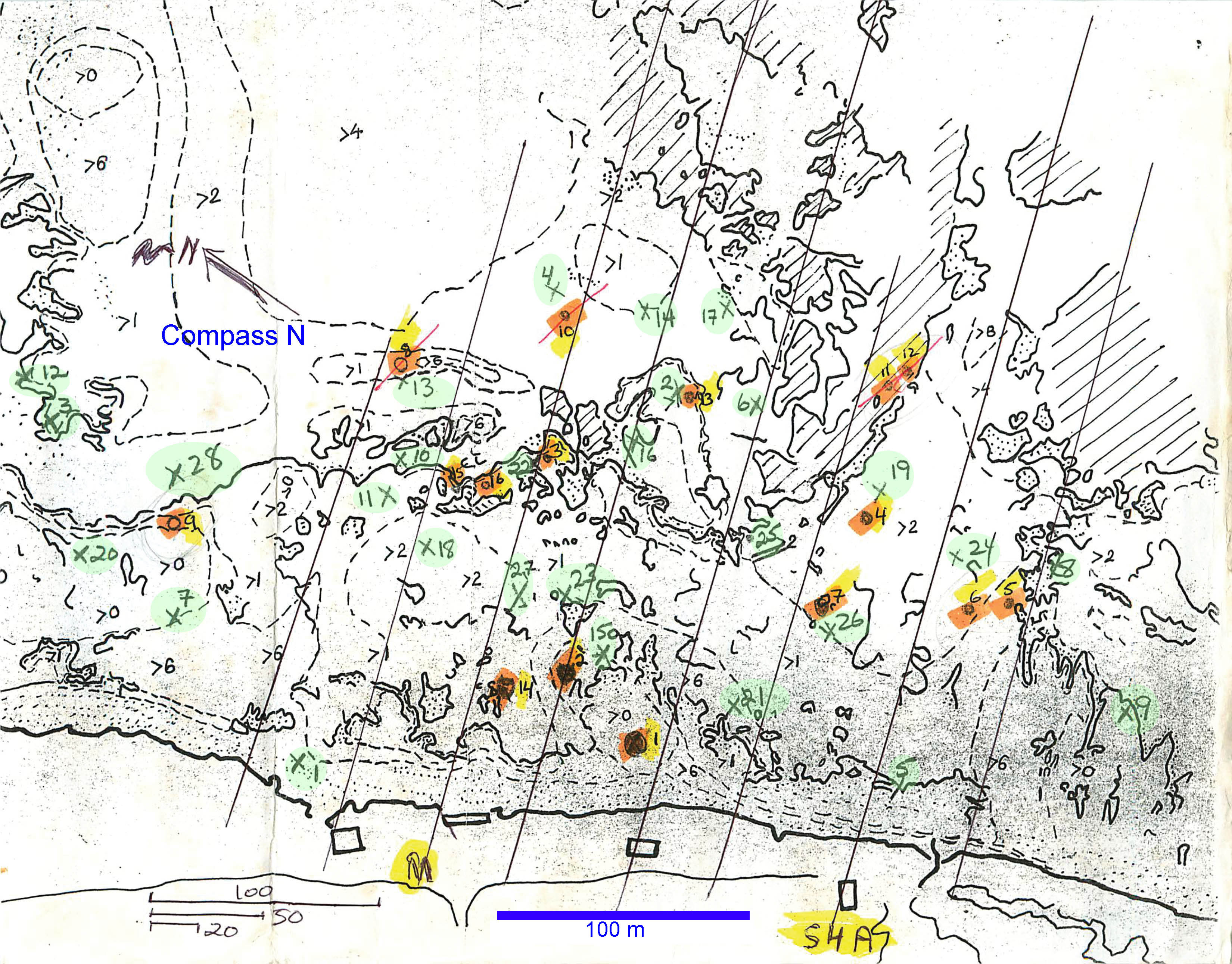
Working Map for Bath from 1969. “>X” refers to depths greater than X feet. Lines are transect lines. Green-highlighted numerals are the 28 random sampling points. Orange/yellow highlighted numerals are the 16 “stations”. “M”: Main Transect. “S4A” – 4th transect towards the south from the M transect. Scales at bottom left in yards, meter scale inserted. “Canada began its transition to the metric system (SI) in 1970, with the process largely taking place netween 1975 and 1985. Key milestones included the introduction of Celsius in April 1975, followed by road signs and gasoline sales in the late 1970s, creating a hybrid system still used today” (From Google AI)
Transect 2S
Photos on Feb 7, 2015
 2015 #011 |
 2015 #012 |
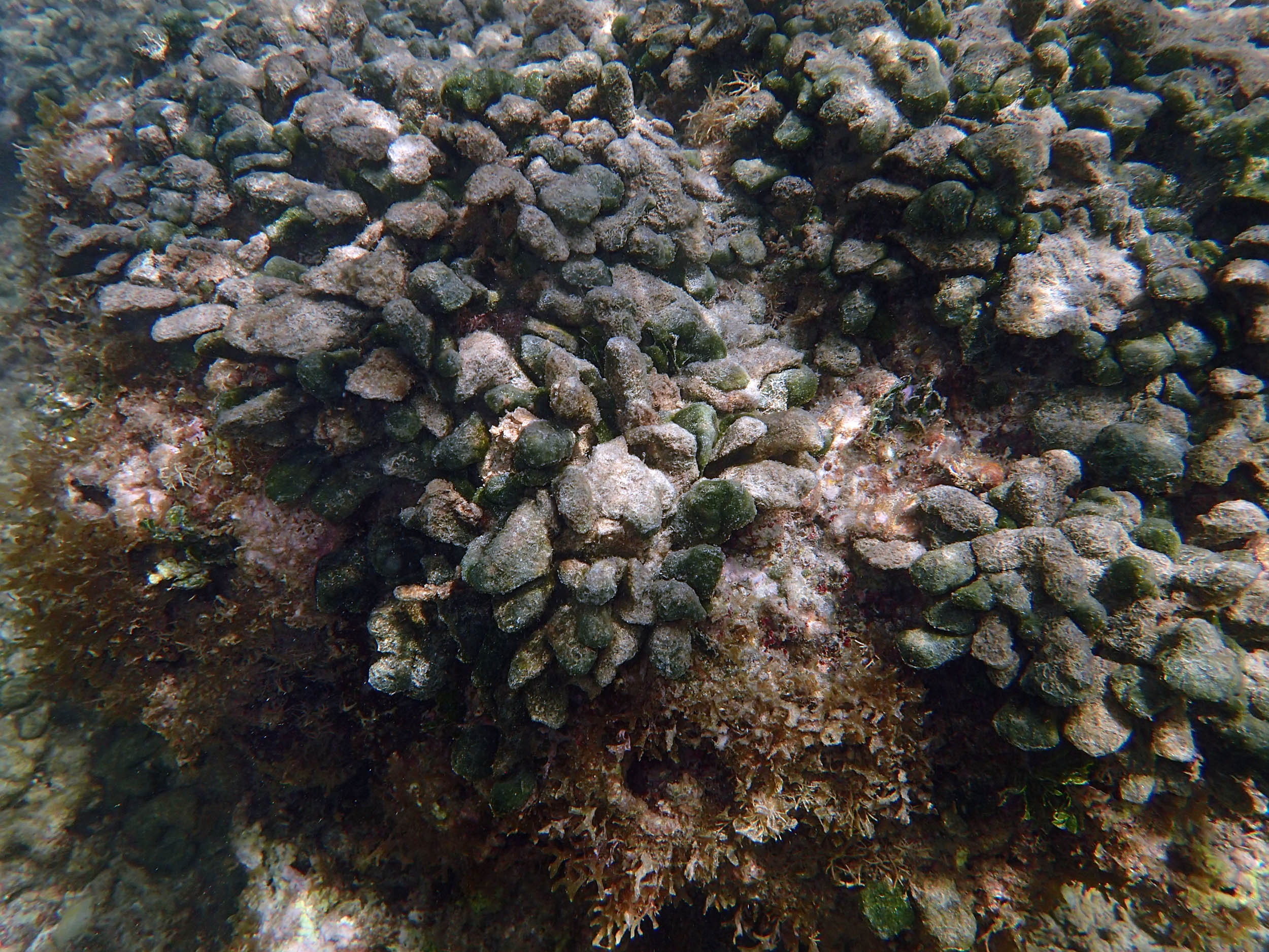
 2015 #017 at approx. 33 m |
 2015 #019 at approx. 33 m |
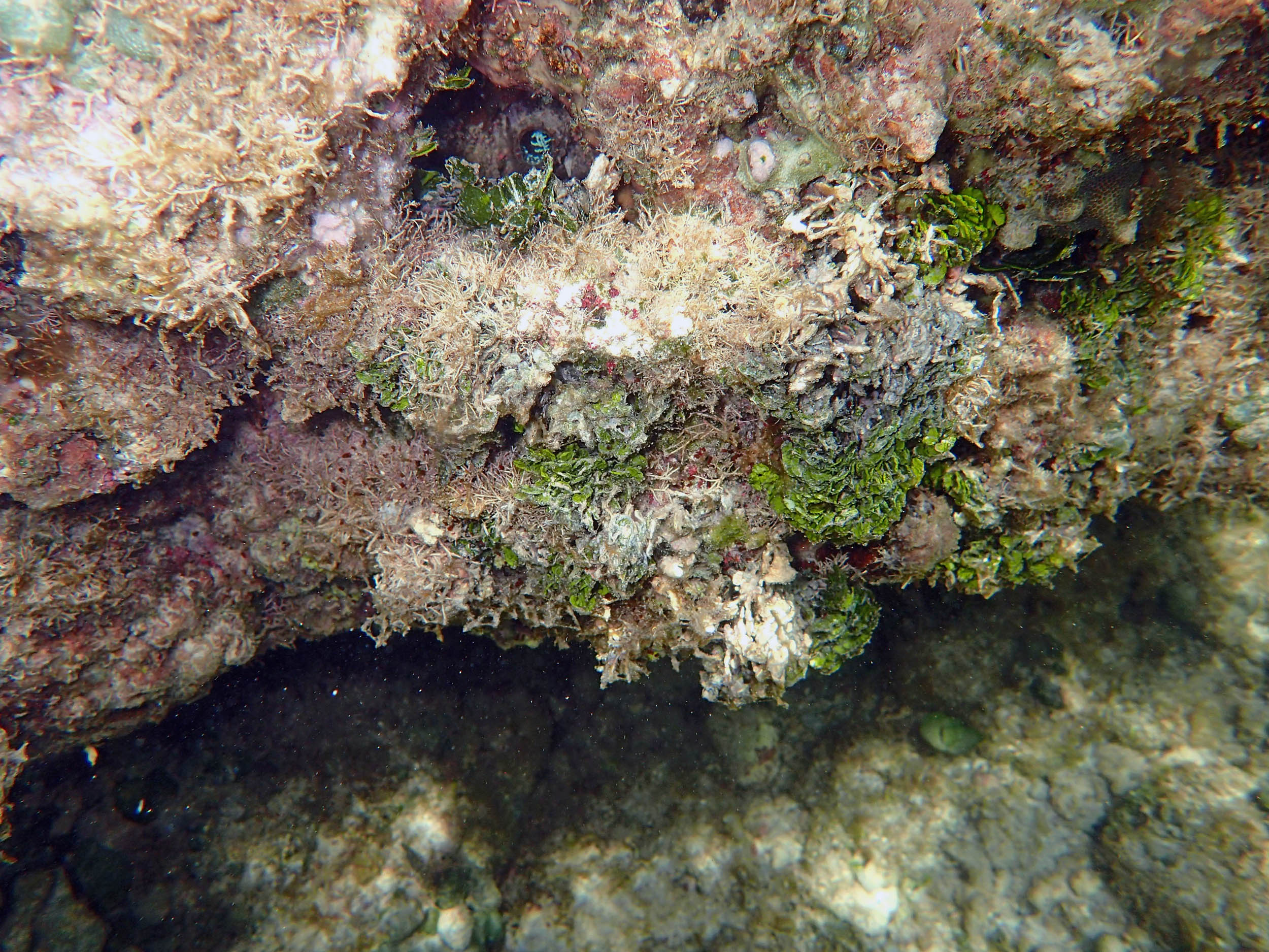
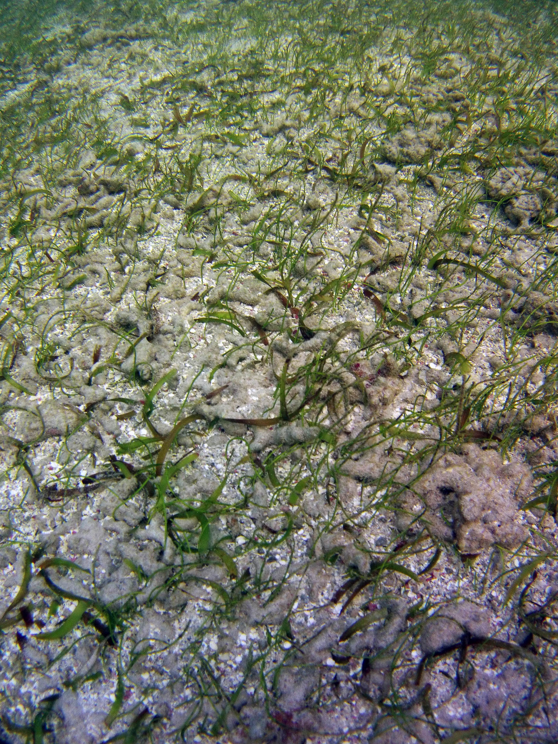
 2015 #023 at approx. 70 m |
 2015 #027 at approx. 154 m |
 2015 #036 at approx. 165 m |
 2015 #046 at approx. 172 m |
 2015 #080 at approx. 172 m |
 2015 #086 at approx. 173 m |
 2015 # 093 at approx. 174 m |
 2015 #097 at approx. 174 m |
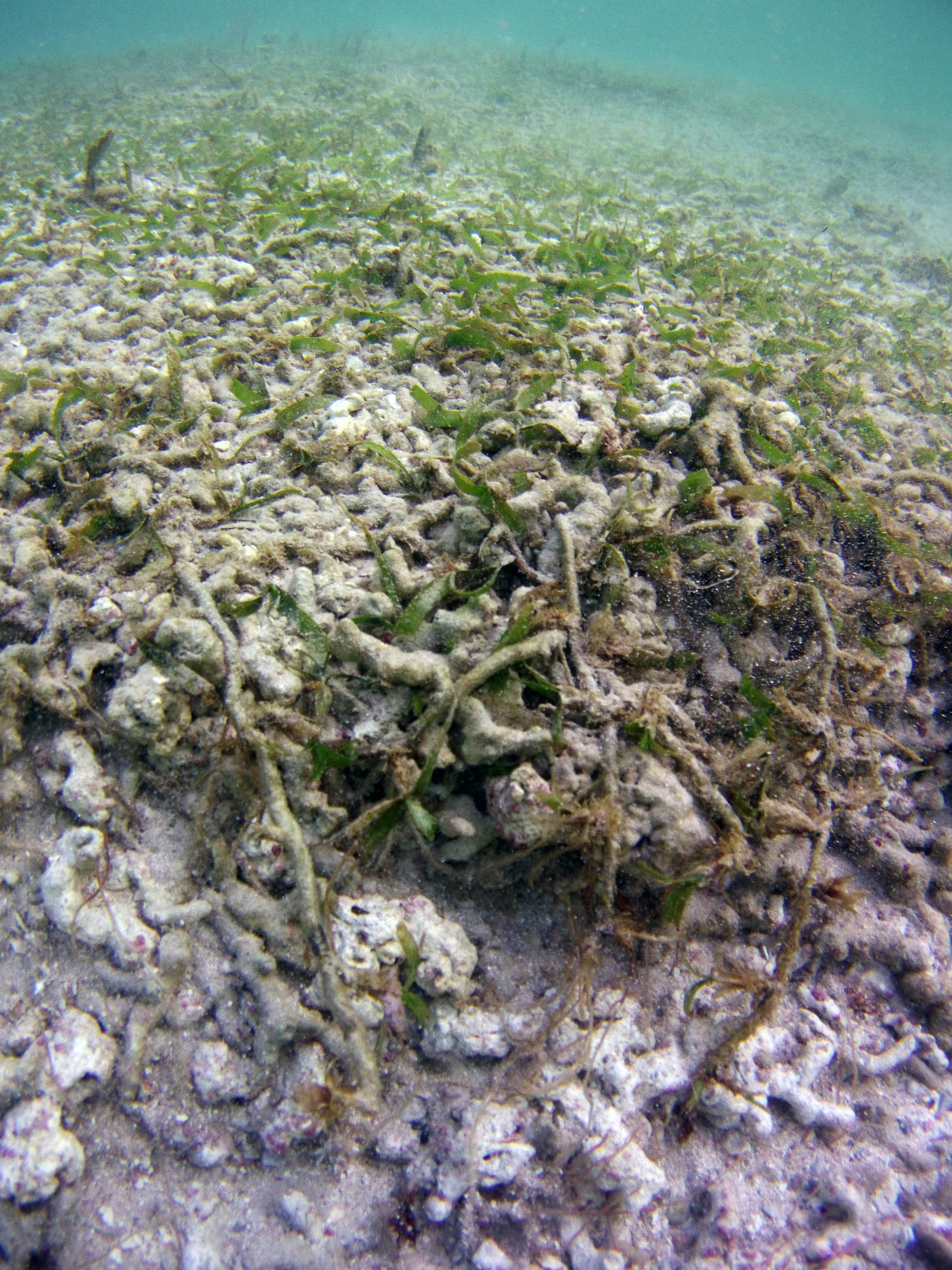
 2015 #105 at approx. 174 m |
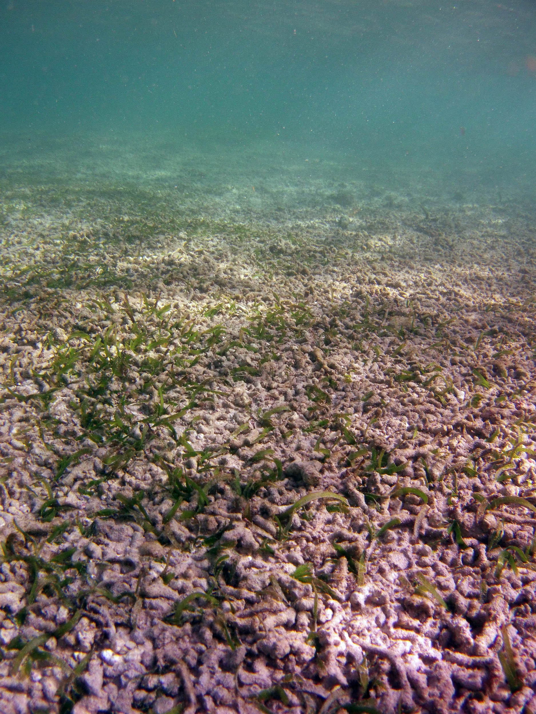
 2015 #110 at approx 175 m |
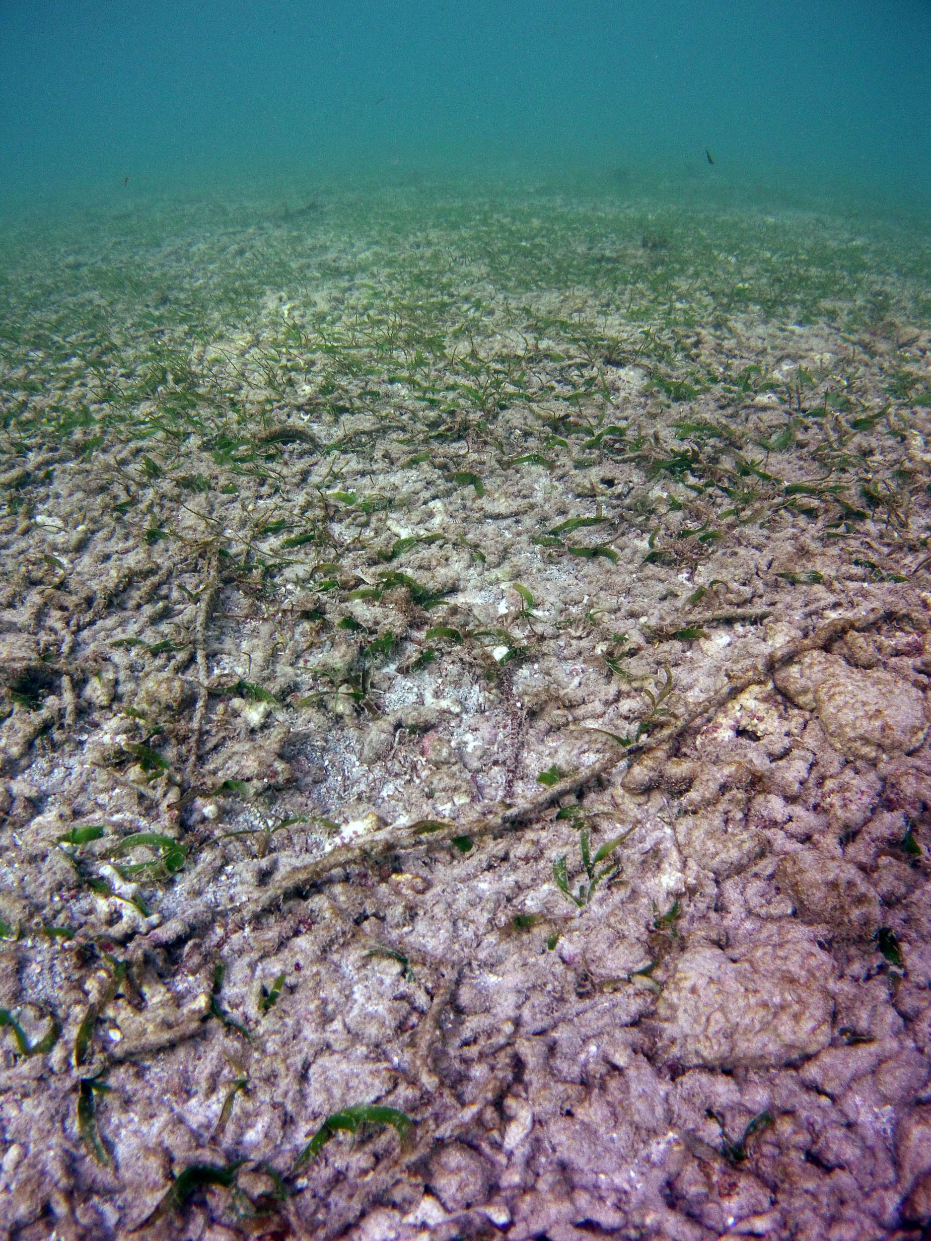
 2015 #111 at approx 175 m |
 2015 #114 at approx 175 m |
 2015 #116 at approx. 177 |
 2015 #120 at approx. 178 |
 2015 #126 at approx. 180 m |
 2015 #134 at approx. 180 m |
 2015 #128 at approx. 183 m |
 2015 #152 at approx. 185 m |
Transect 3S
Photos on Feb 11, 2015
Limited set, nearshore
 2015 #521 |
 2015 #522 |
 2015 #523 |
 2015 #524 |
Transect 4S
Photos on Feb 24, 2015
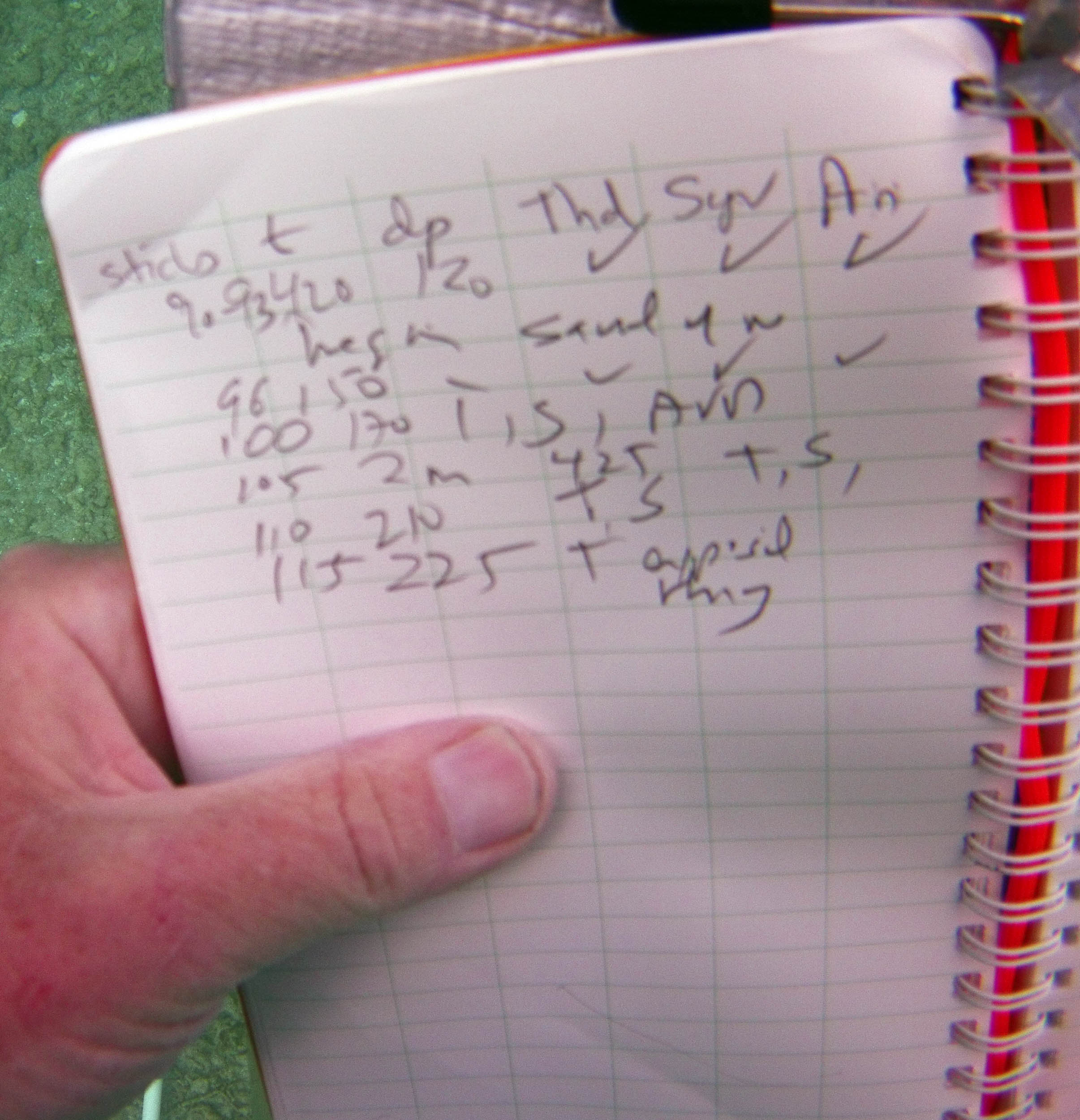
View Profile 4S transcribed field data
A Note on the Distances. Photos were ancillary to the recorded observations on Transect lines and for quadrats at Stations, hence the distances seaward on the Transect Lines given below for particular photos are approximate.*
* Distance were estimated by calculating the meters traversed per minute between two points x, and y that were recorded in photos (hence there is a photo-time) and that were specifically noted in the field data (hence their distances from the beginning of the transect are known), and applying that to estimate the distance for points between x and y; and/or by descriptions in the field data that corresponded to photos.
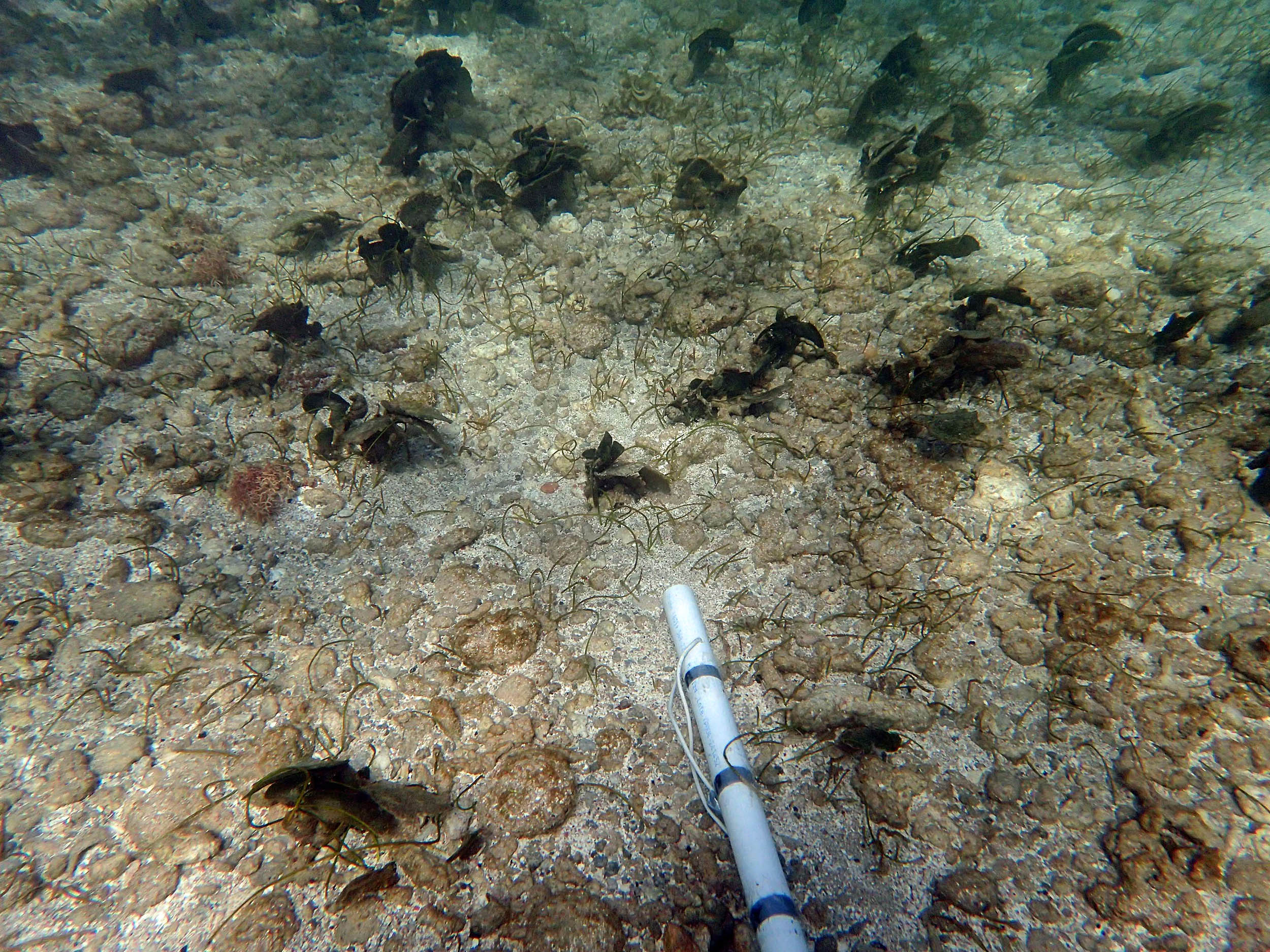
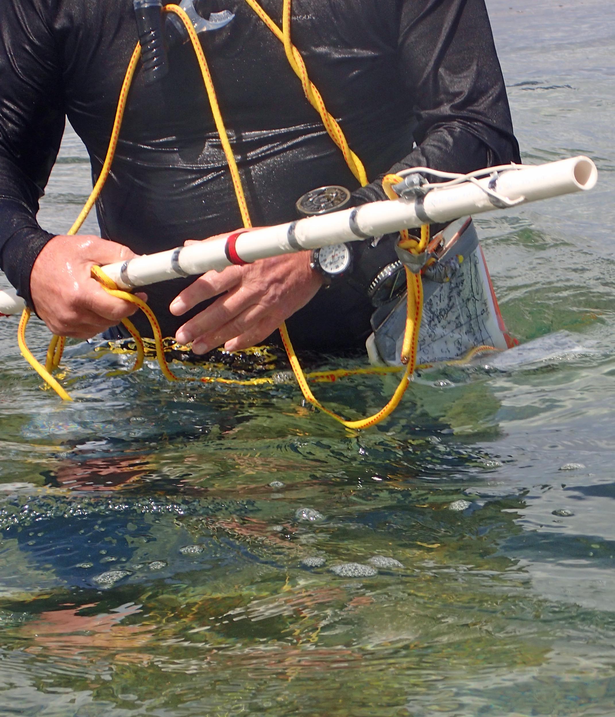 Hi-Tech equipment: Pole 2,2 m, marked at 10 cm intervals for measuring distance and depth; depth gauge (for depths > 2.2 m); watch; map. Camera times may differ from watch times, but intervals are the same. |
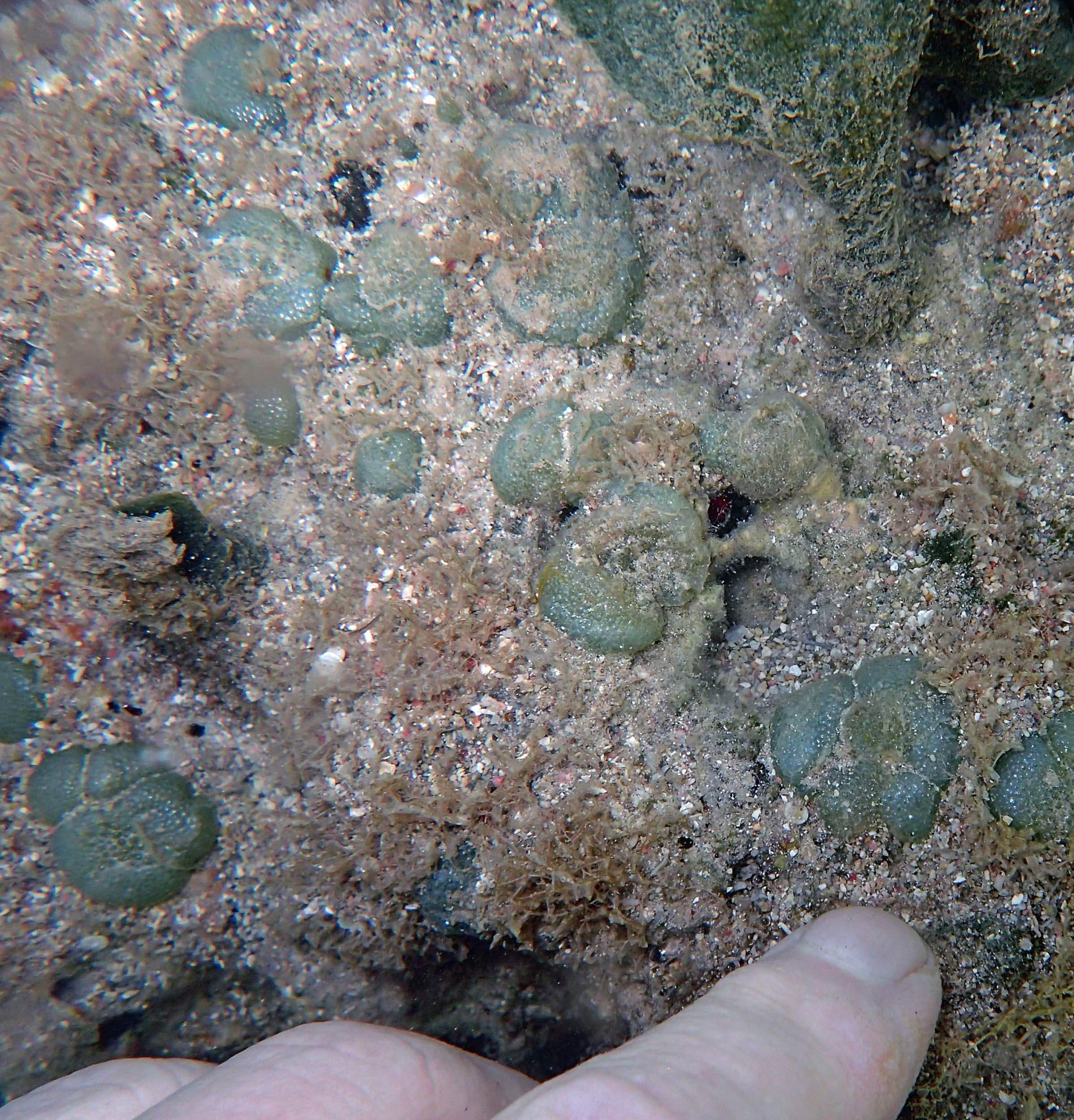
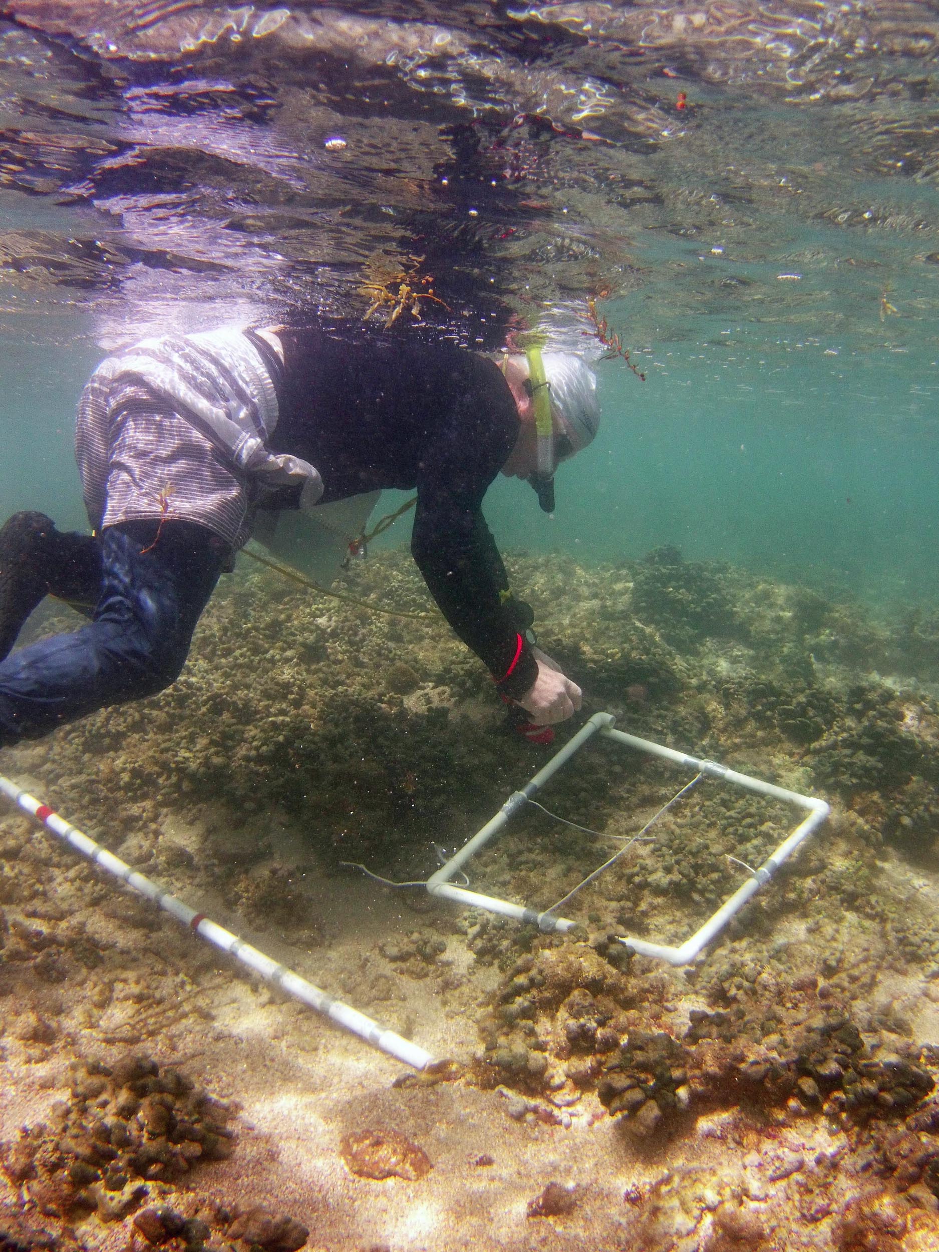 Placing 50 x 50 cm quadrat at a “Station”. |
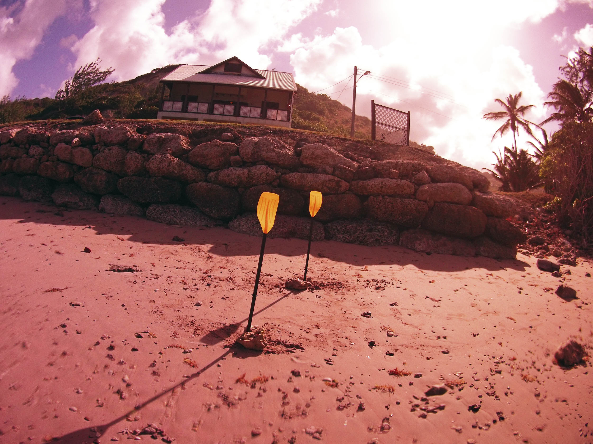 2015 #1136 On-shore Targets to maintain direction. Note hardscaping. |
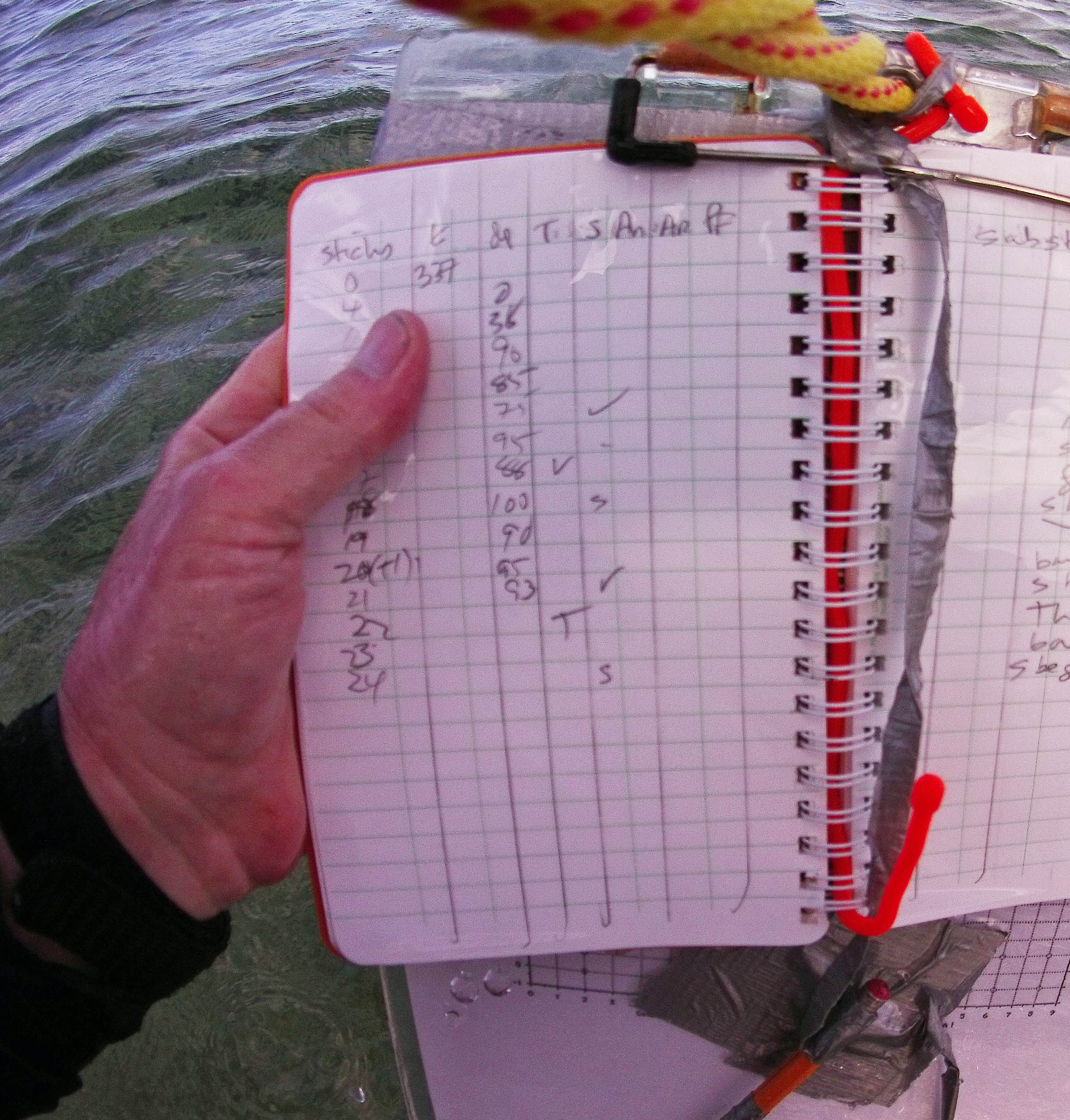 2015 #1138 Field Note book. We are at 24S/52.8 m from upper limit of the beach. Photo Time: 3:48 PM |
 2015 #1140 Approx 53 m on TS (transect) [Photo Time: 3:48 PM] |
 2015 #1141 at approx 58 m [Photo Time: 3:48 PM] |
 2015 #1142b at approx 103 m. [Photo Time: 3:59 PM] |
 2015 #1145 at approx 135 m [Photo Time: 4;06 PM] |
 2015 #1152 at approx 144 m [Photo Time: 4:08 PM] |
 2015 #1155 at approx 144 m [Photo Time: 4:08 PM] |
 2015 #1159 at approx 175 m [Photo Time: 4:10 PM] |
 2015 #1166 at 253 m [Photo Time: 4:32 PM] |
 2015 #1172, at circa 253 m [Photo Time: 4:33 PM] |
 2015 #1200 at circa 260 m [Photo Time: 4:46 PM] |
Photos 3S/4S area
Feb 7, 2015
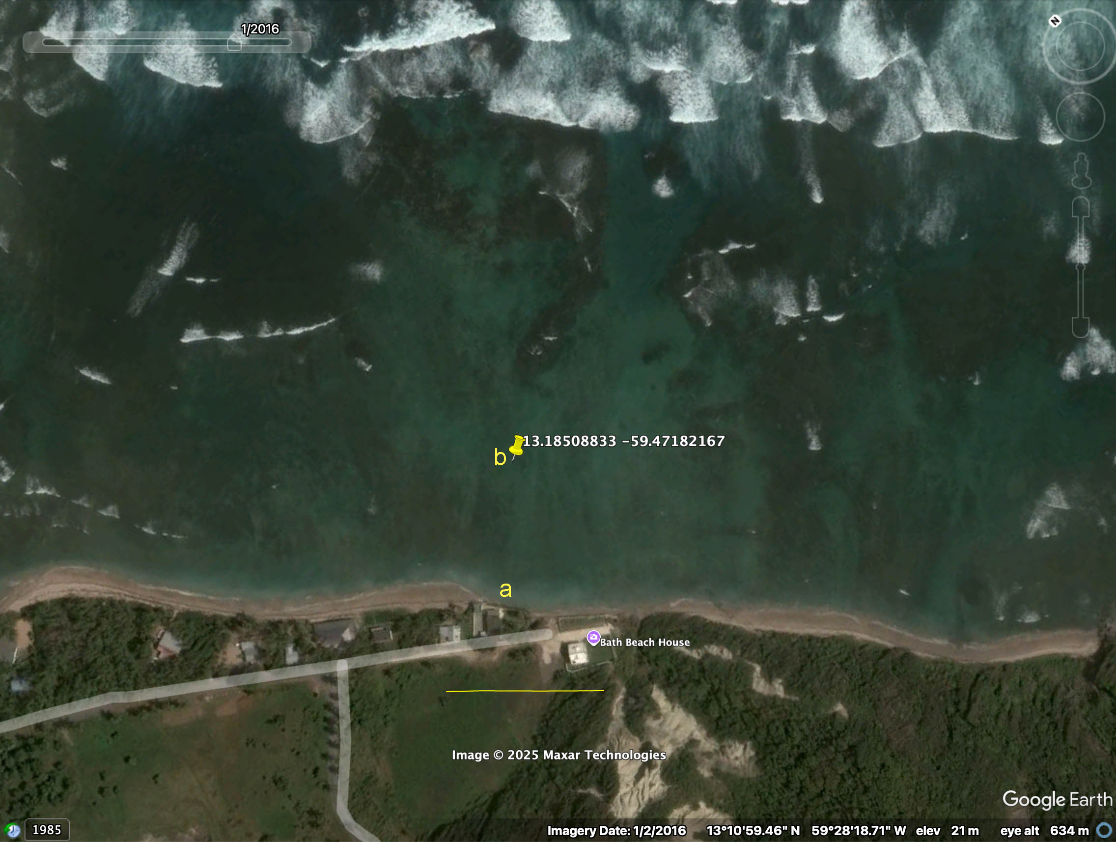 Google Earth Map showing location of (a) shore photos (b) other photos |
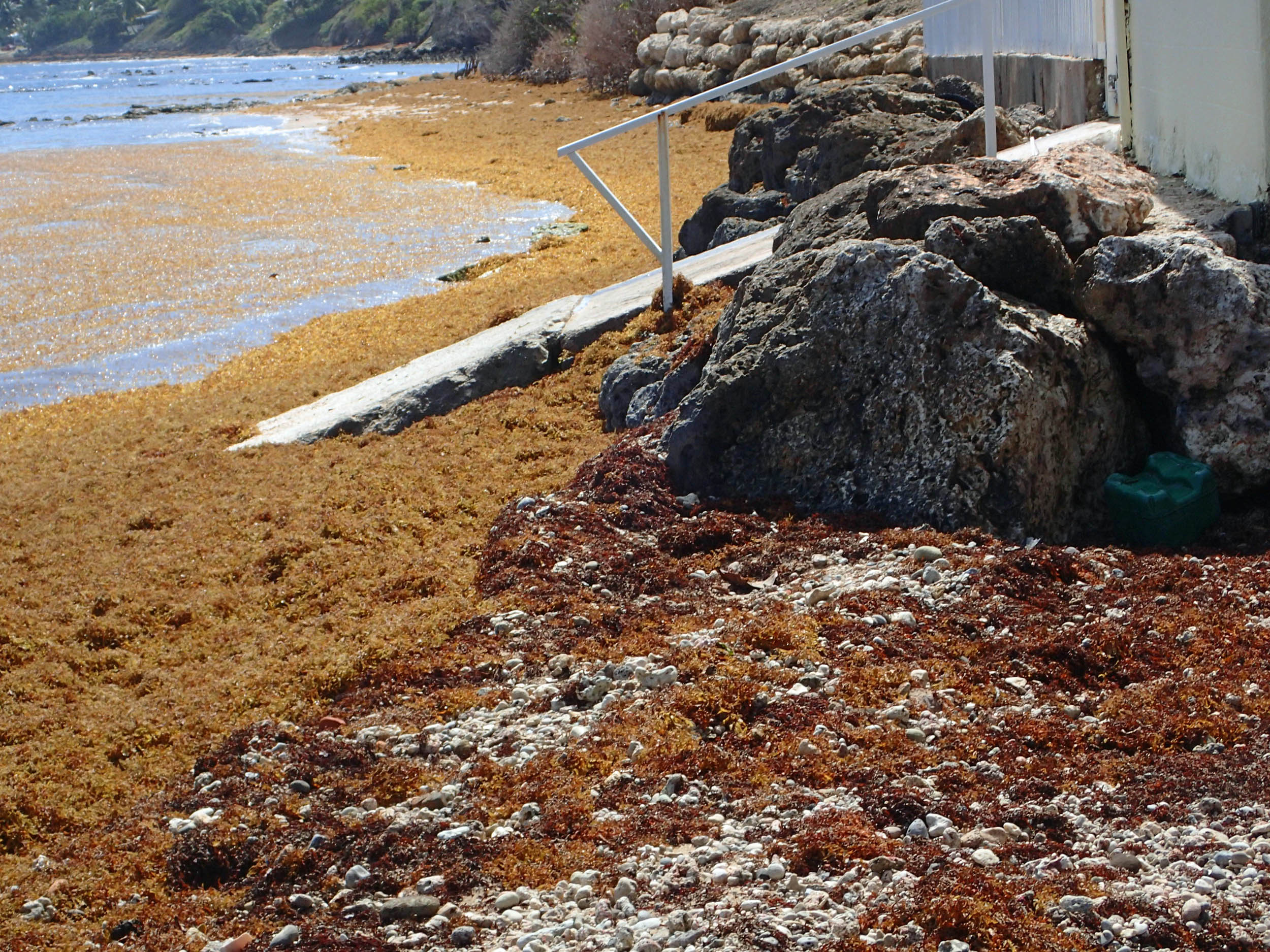
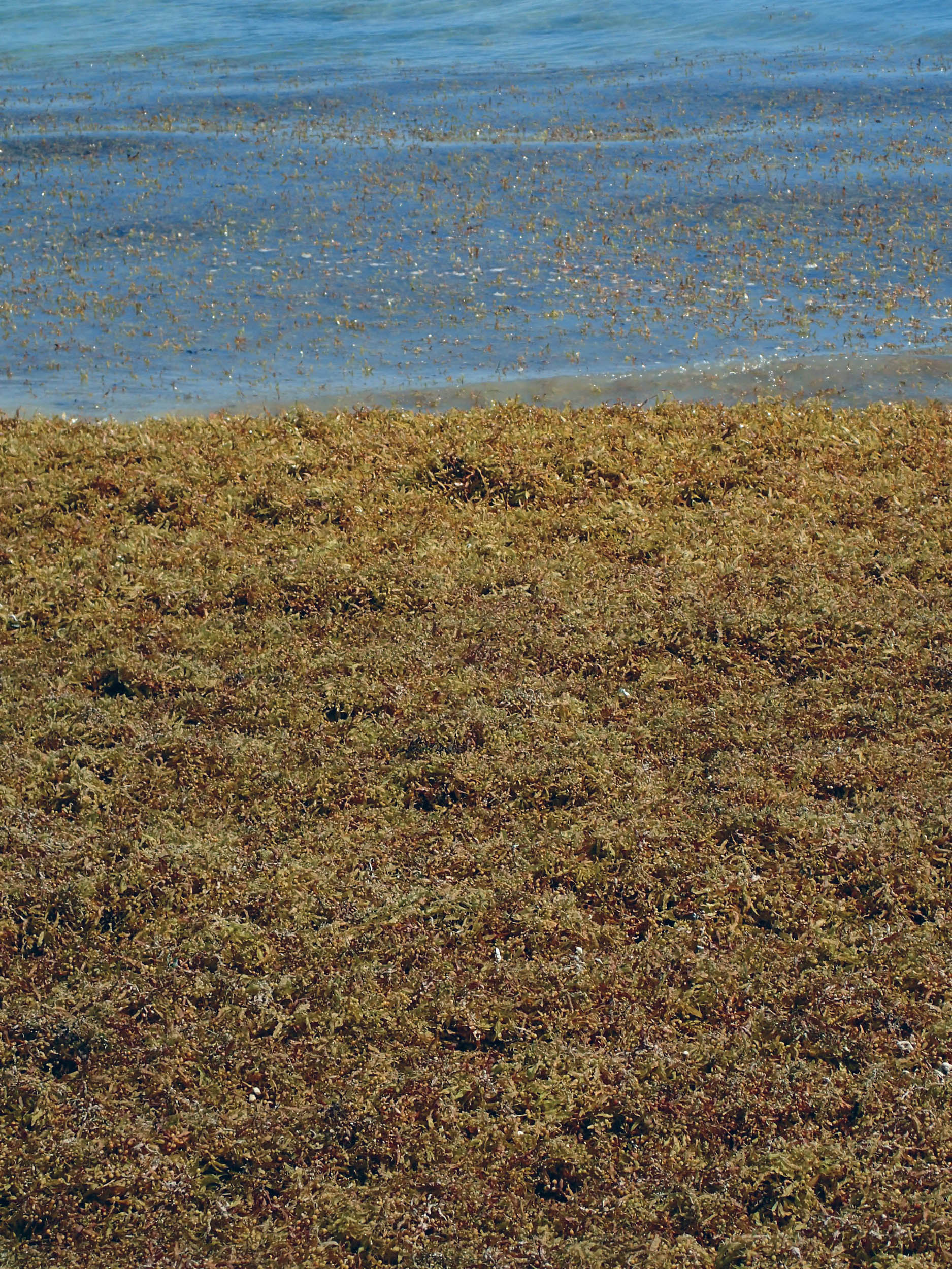
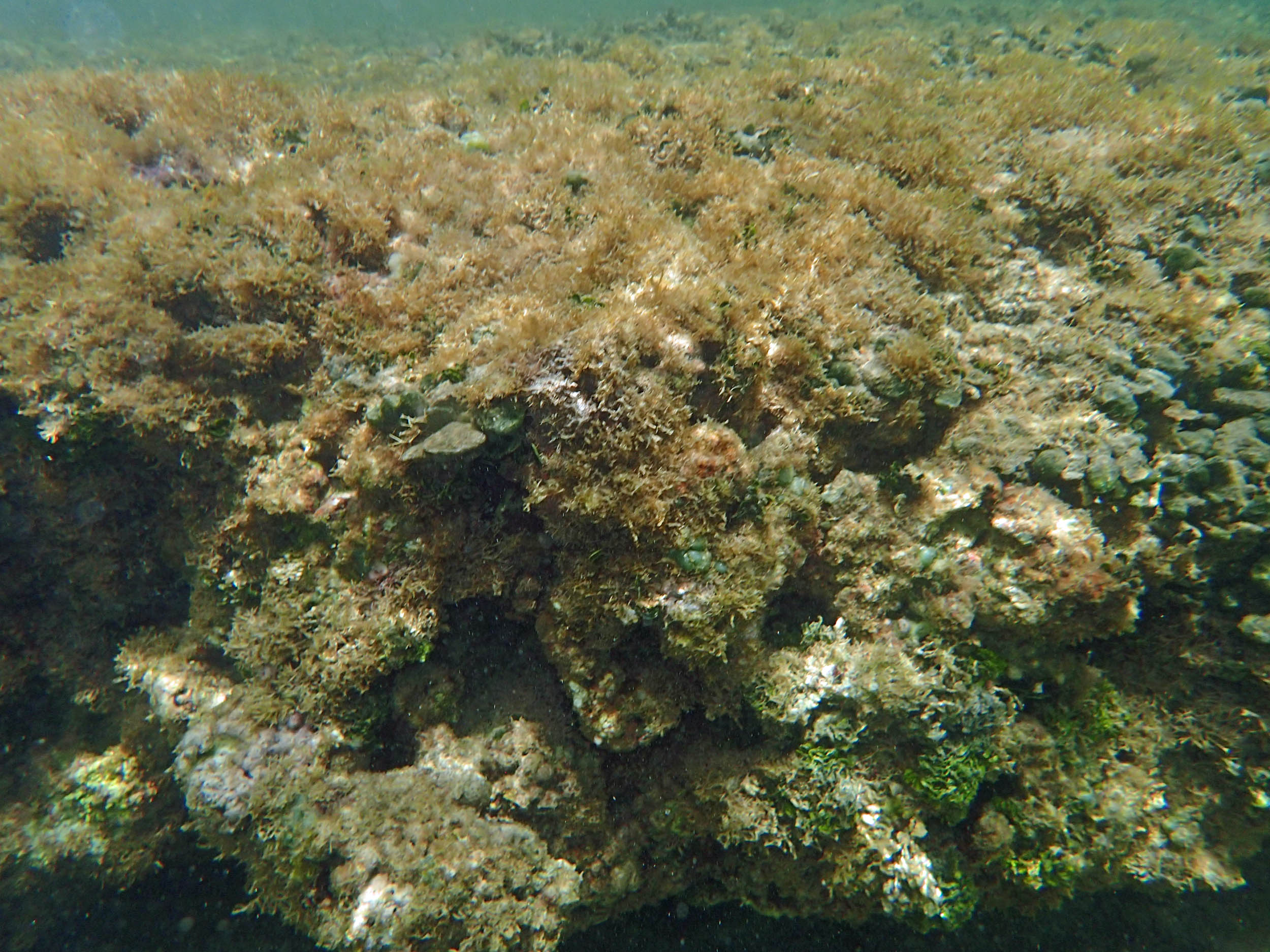
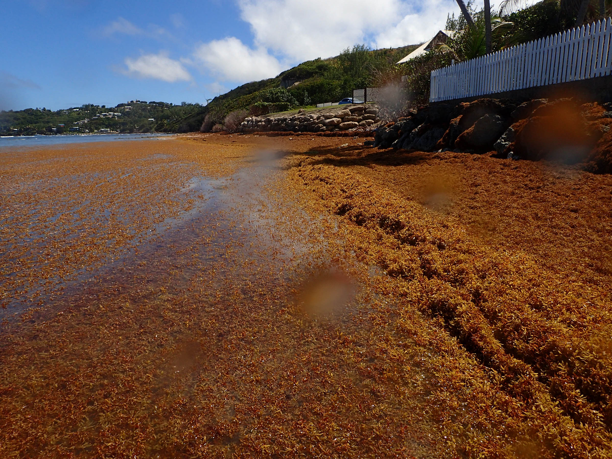 View on beach, 98 deg – Sargassum weed |
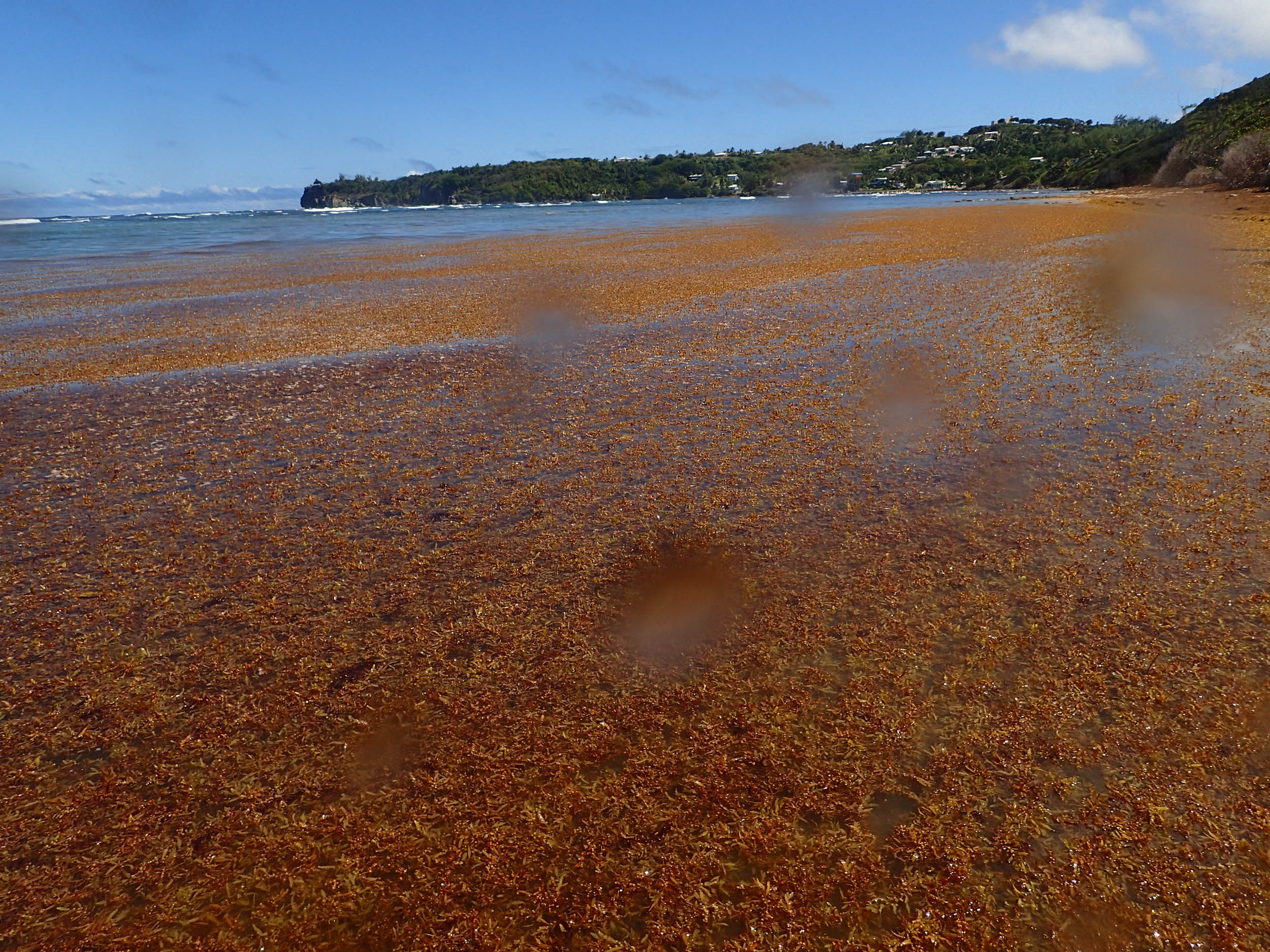 View from the beach, 78 deg – Sargassum weed; thick mat of floating weed extended circa 30-50 m from shore |
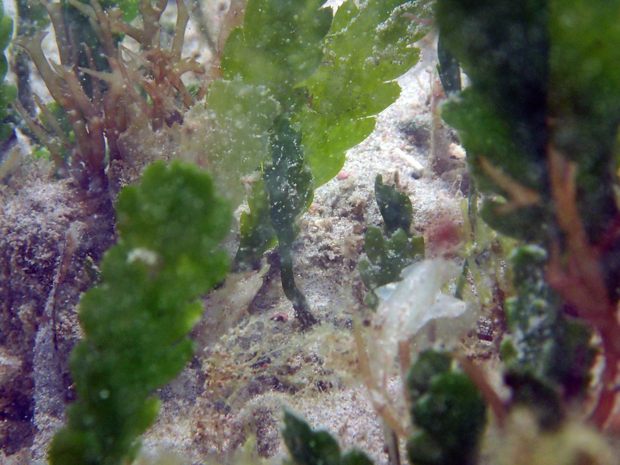
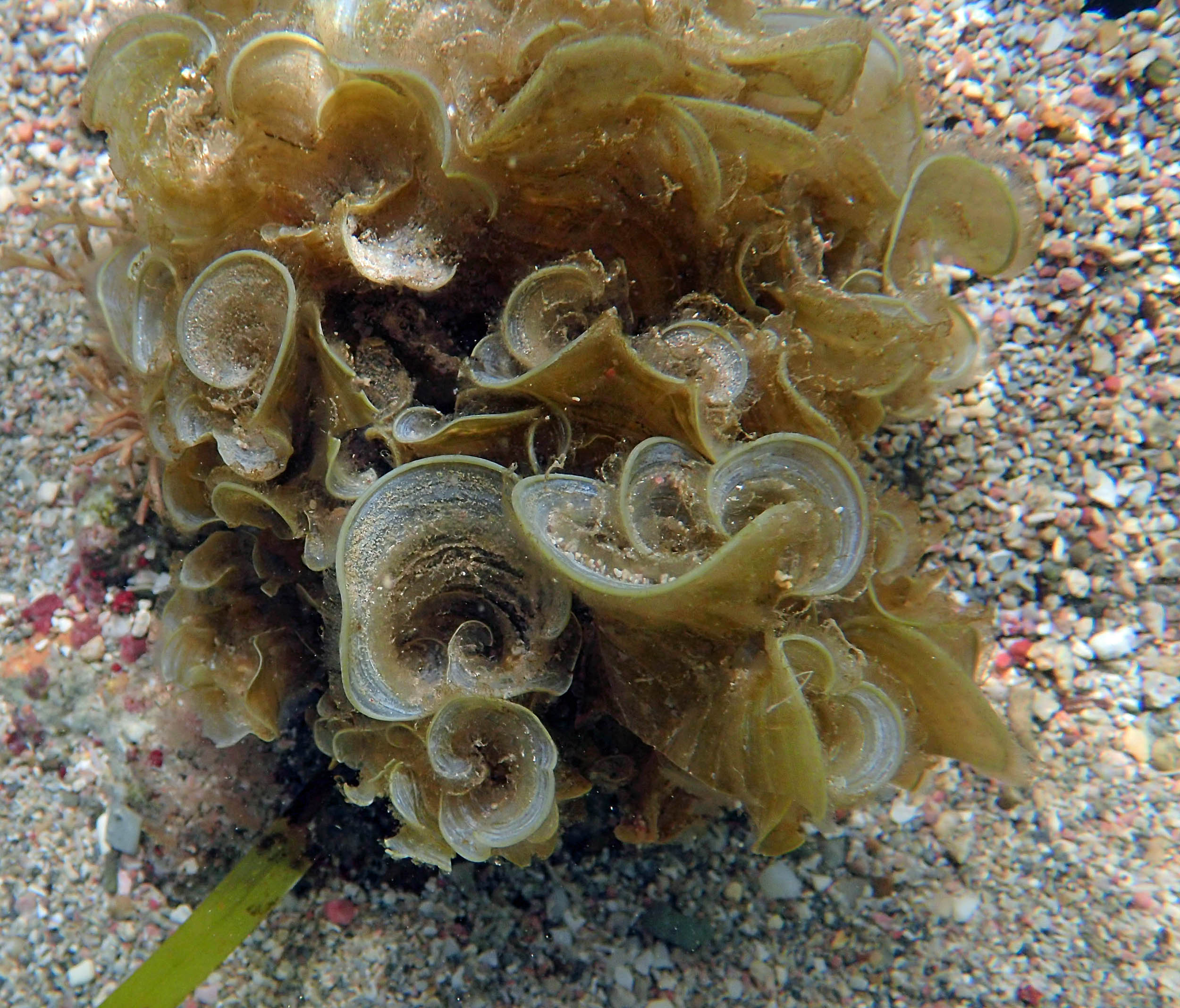
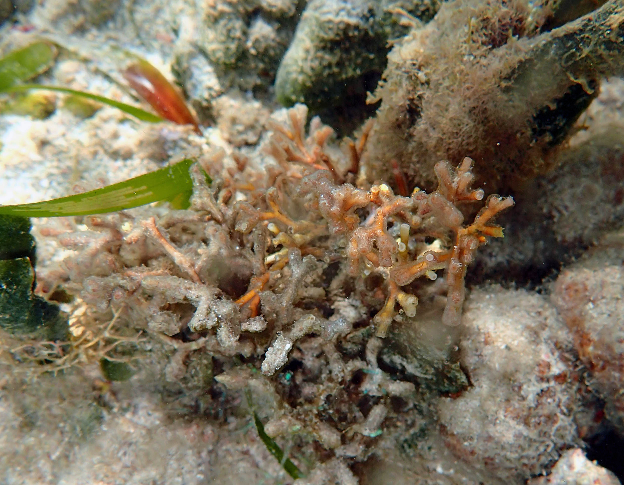
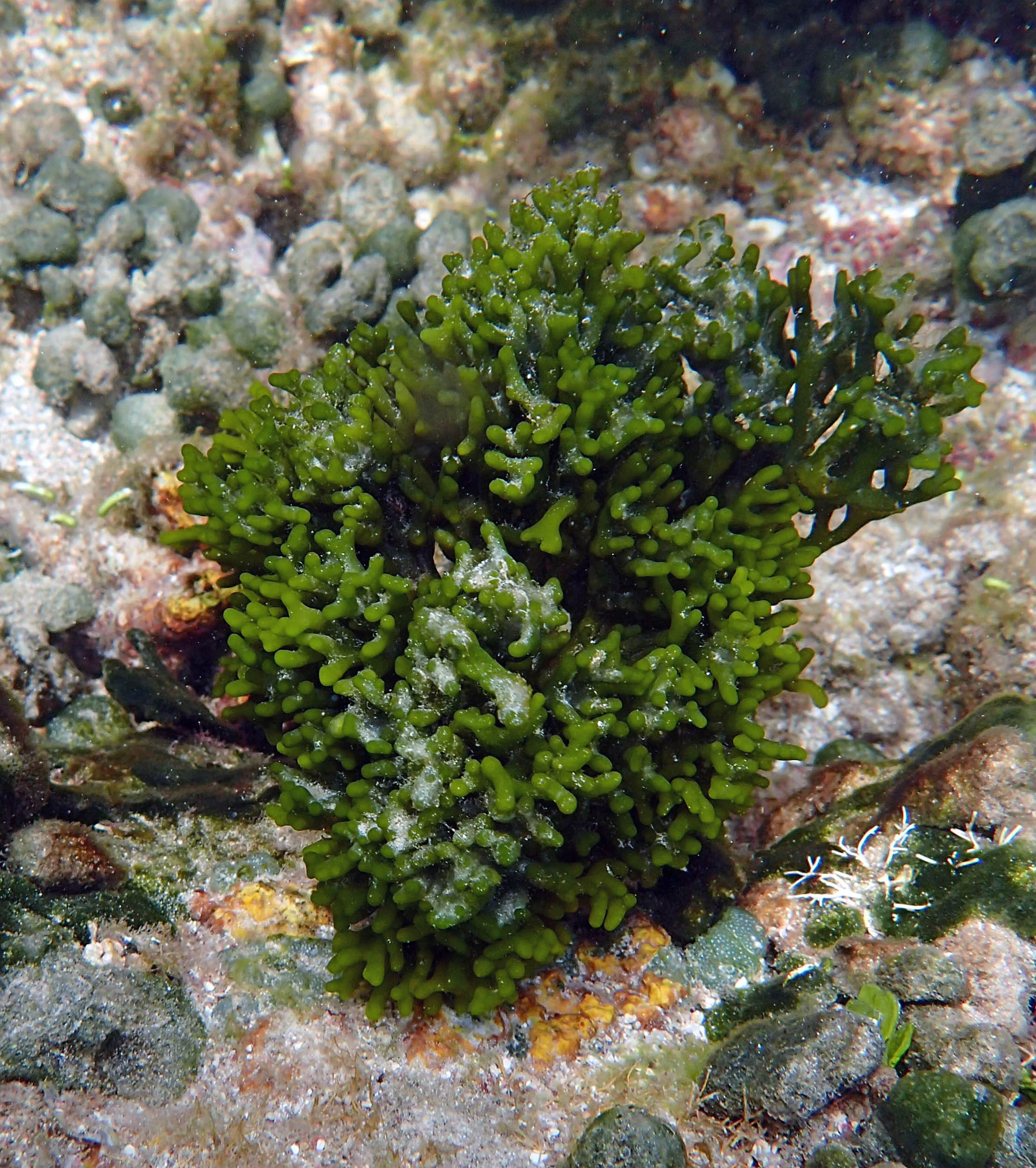
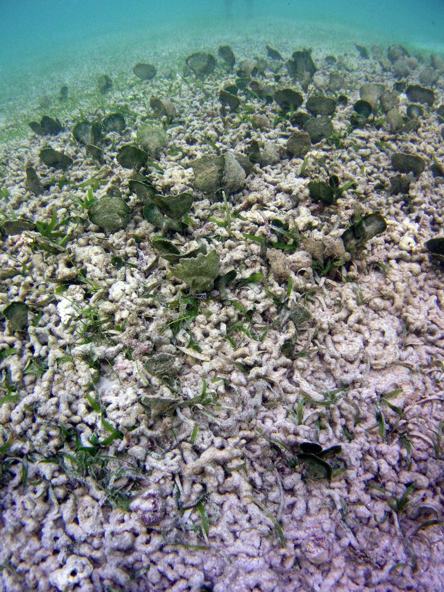
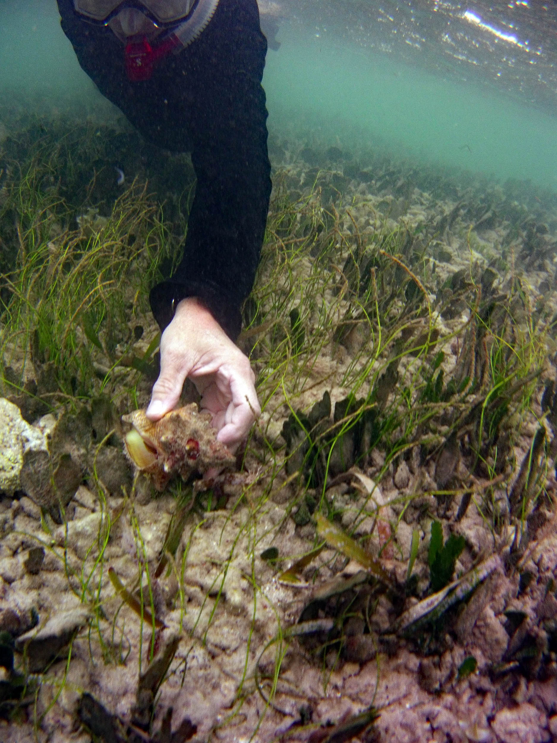
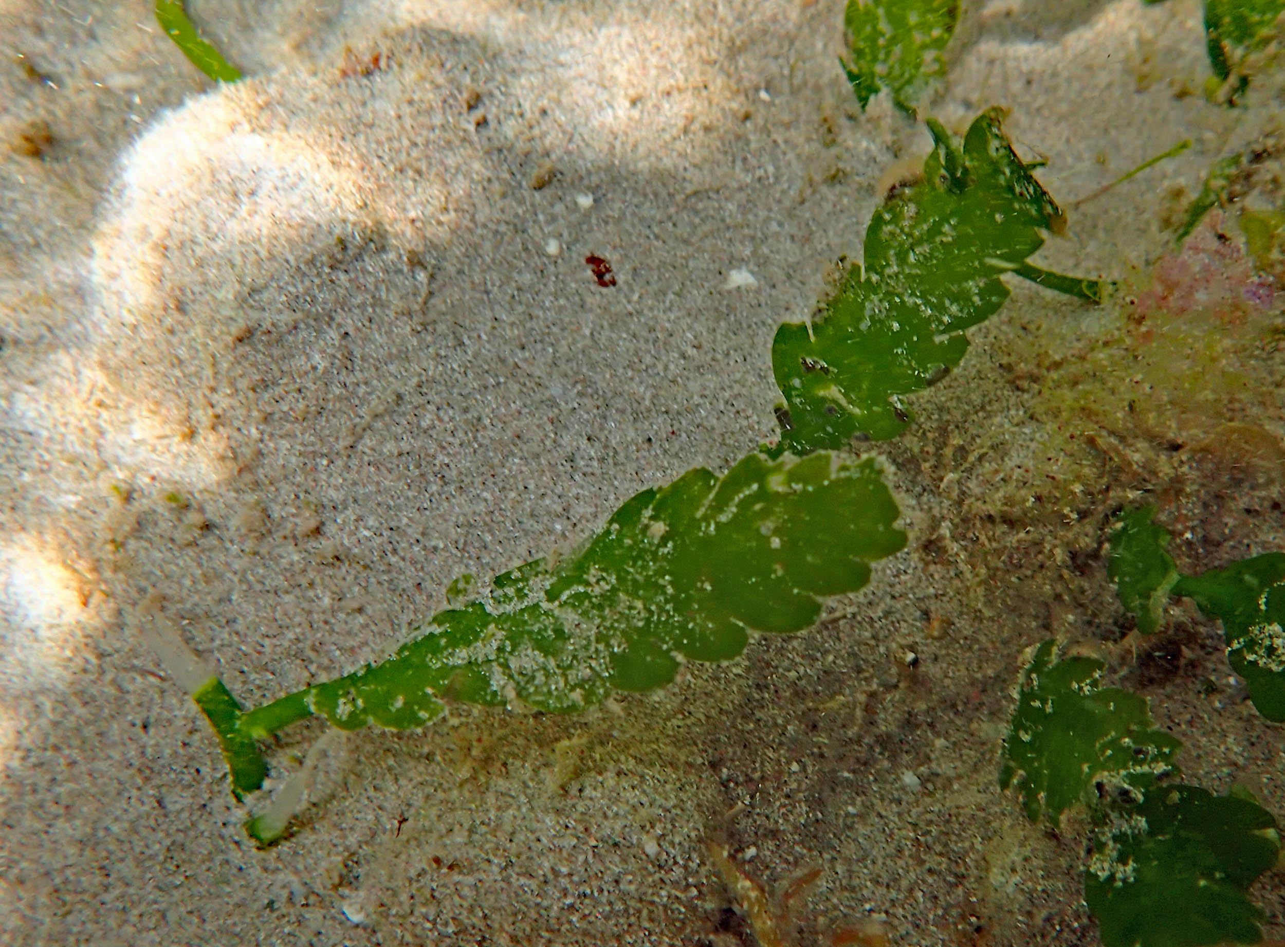
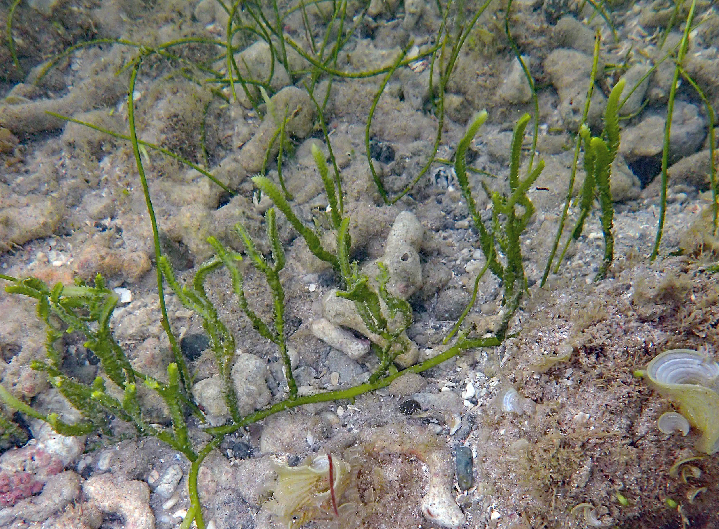 Caulerpa sp |
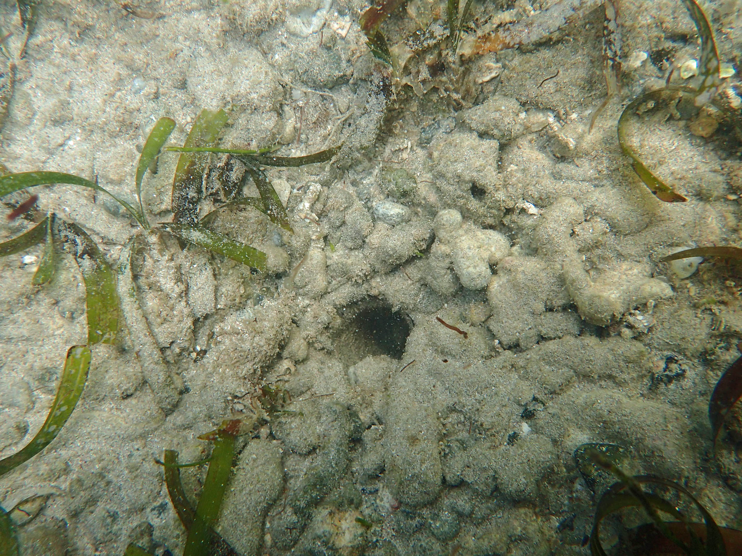 Thin T. testudinum, burrow |
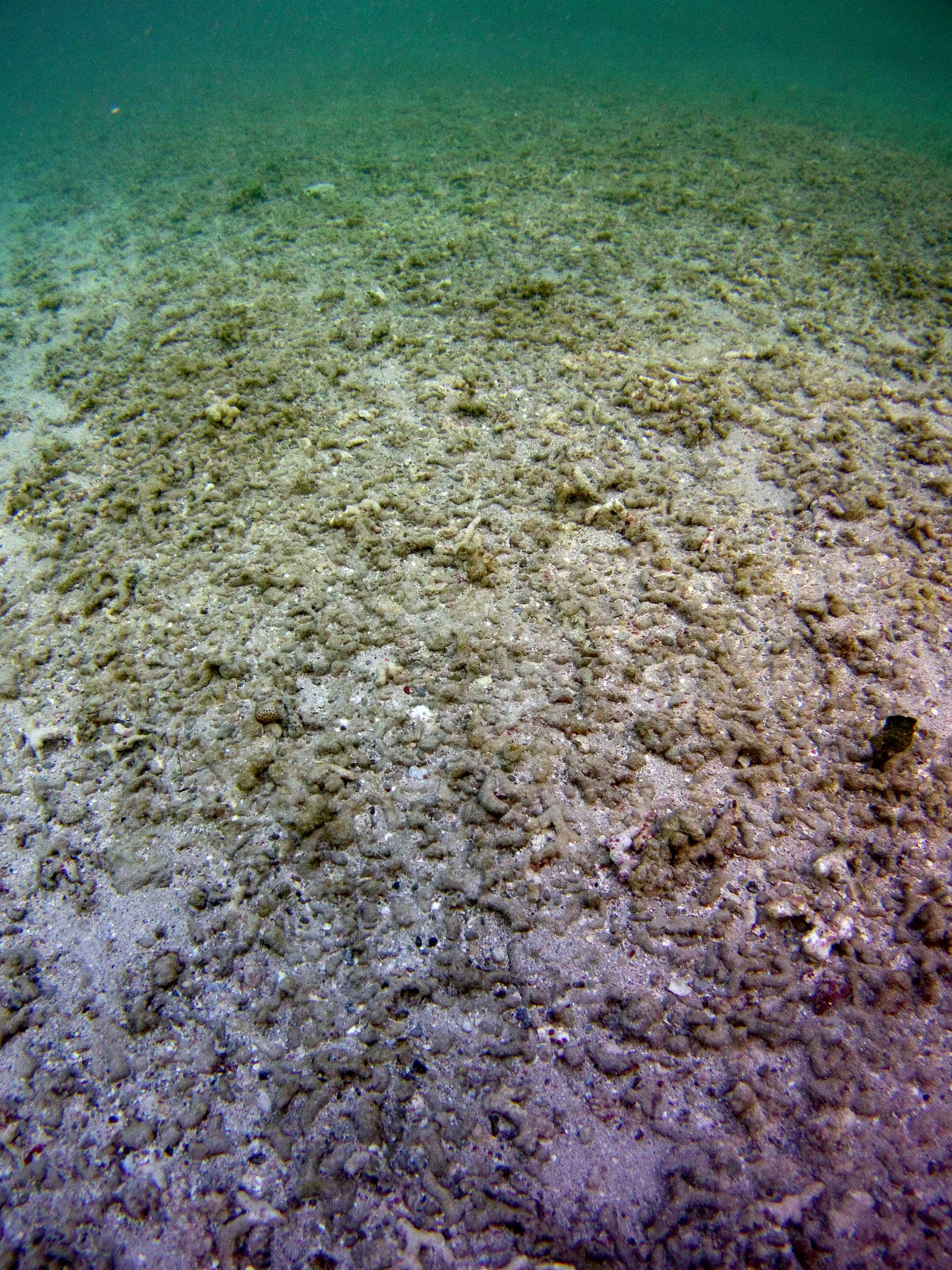
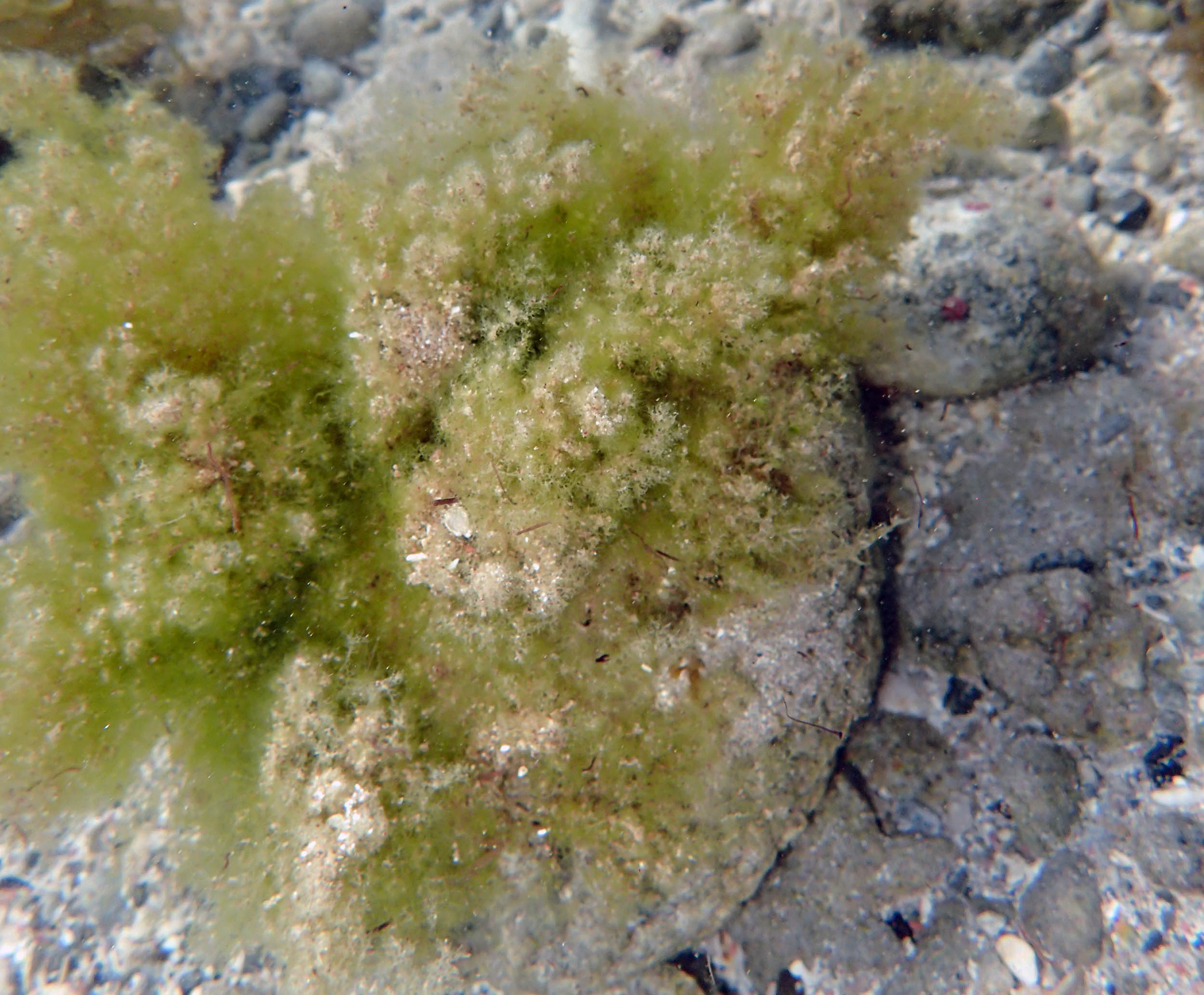 Green alga |
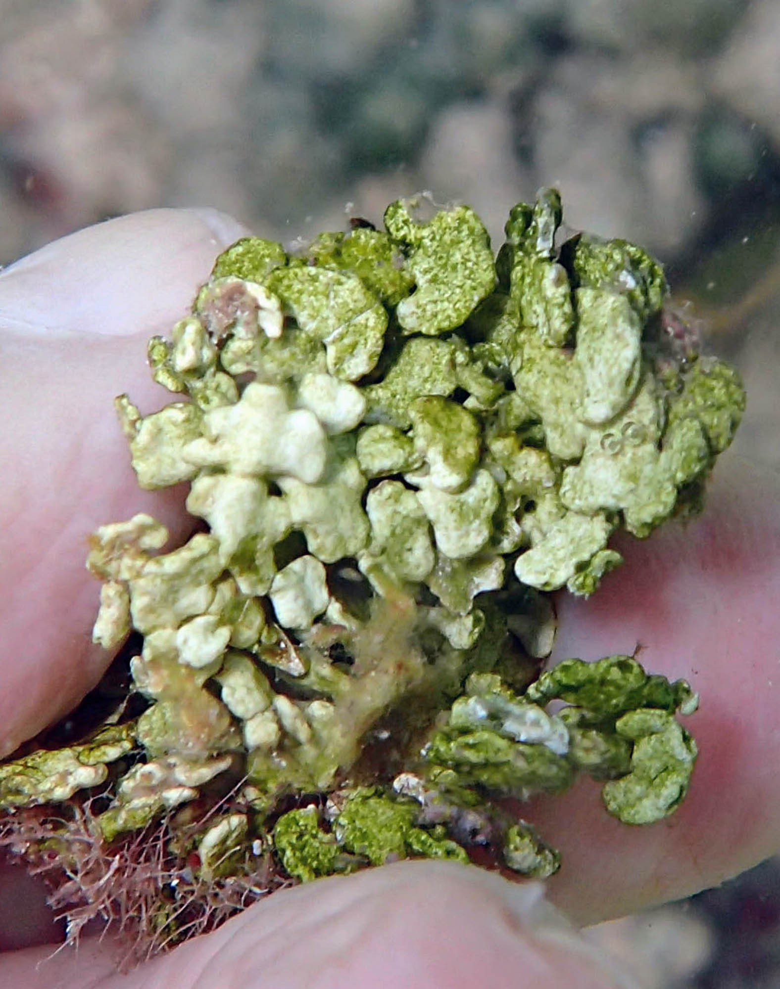
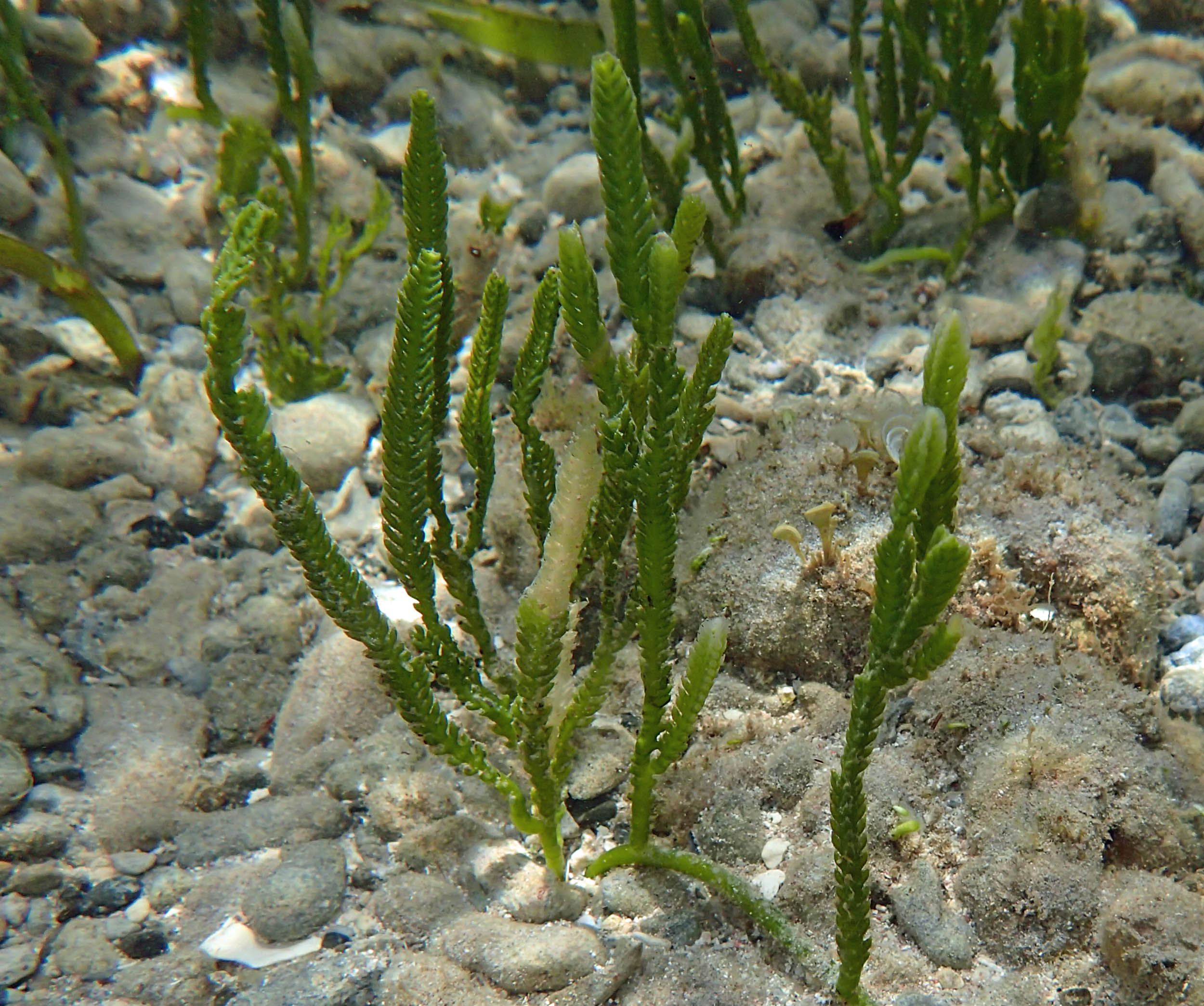
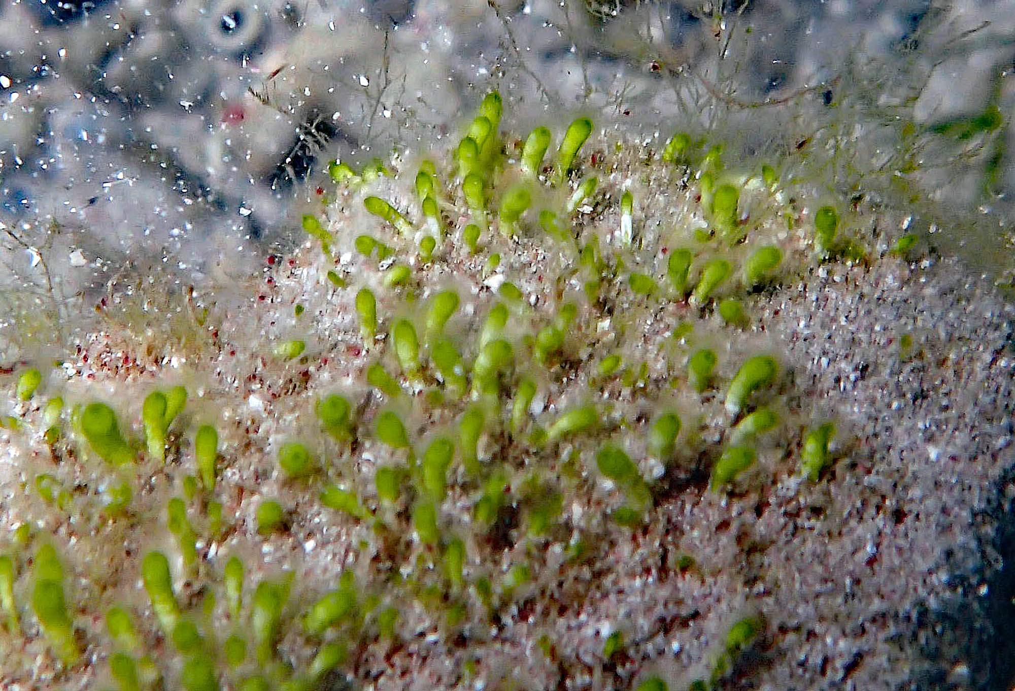 Neomeris |
 Caulerpa sp |
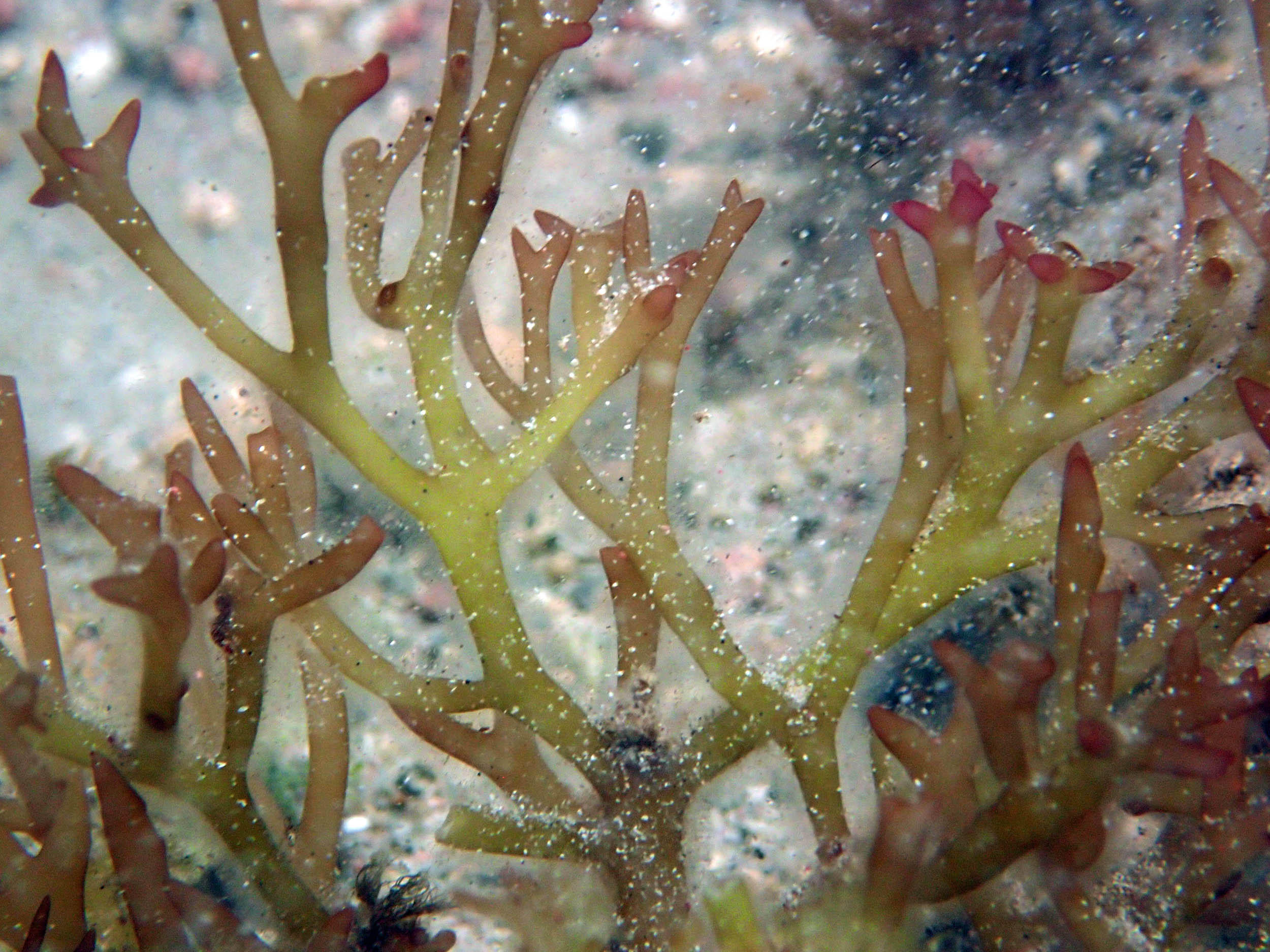
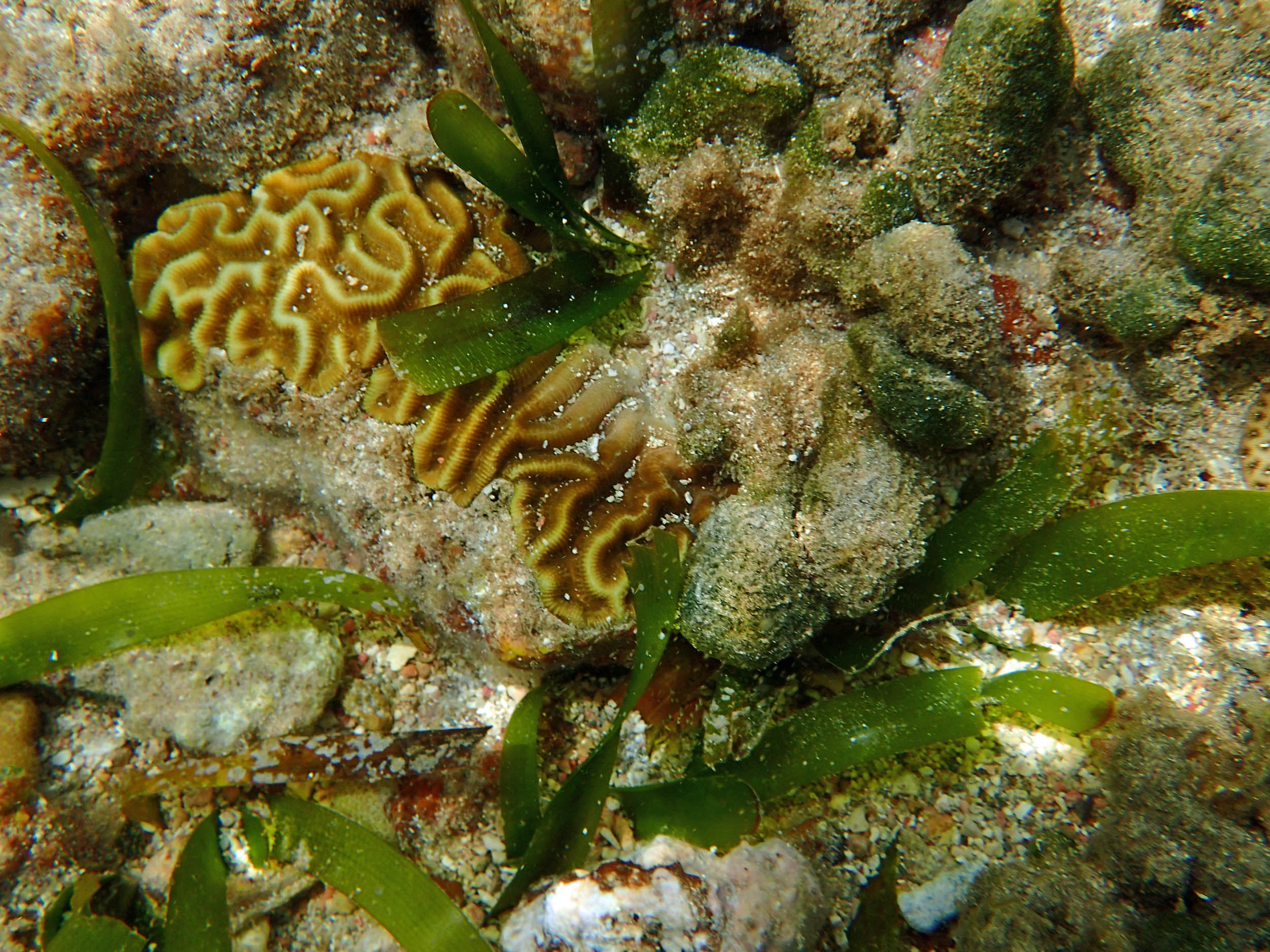
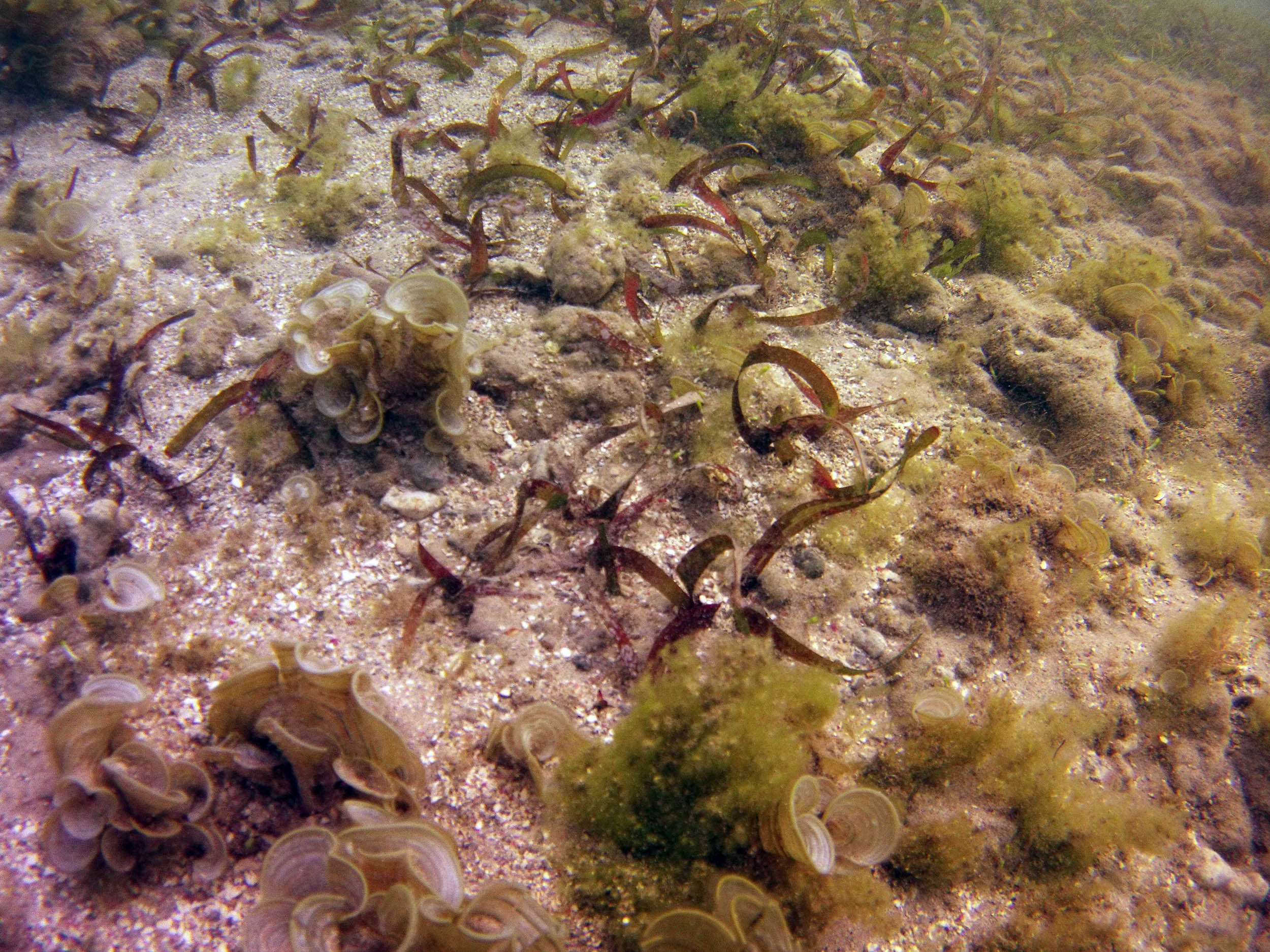
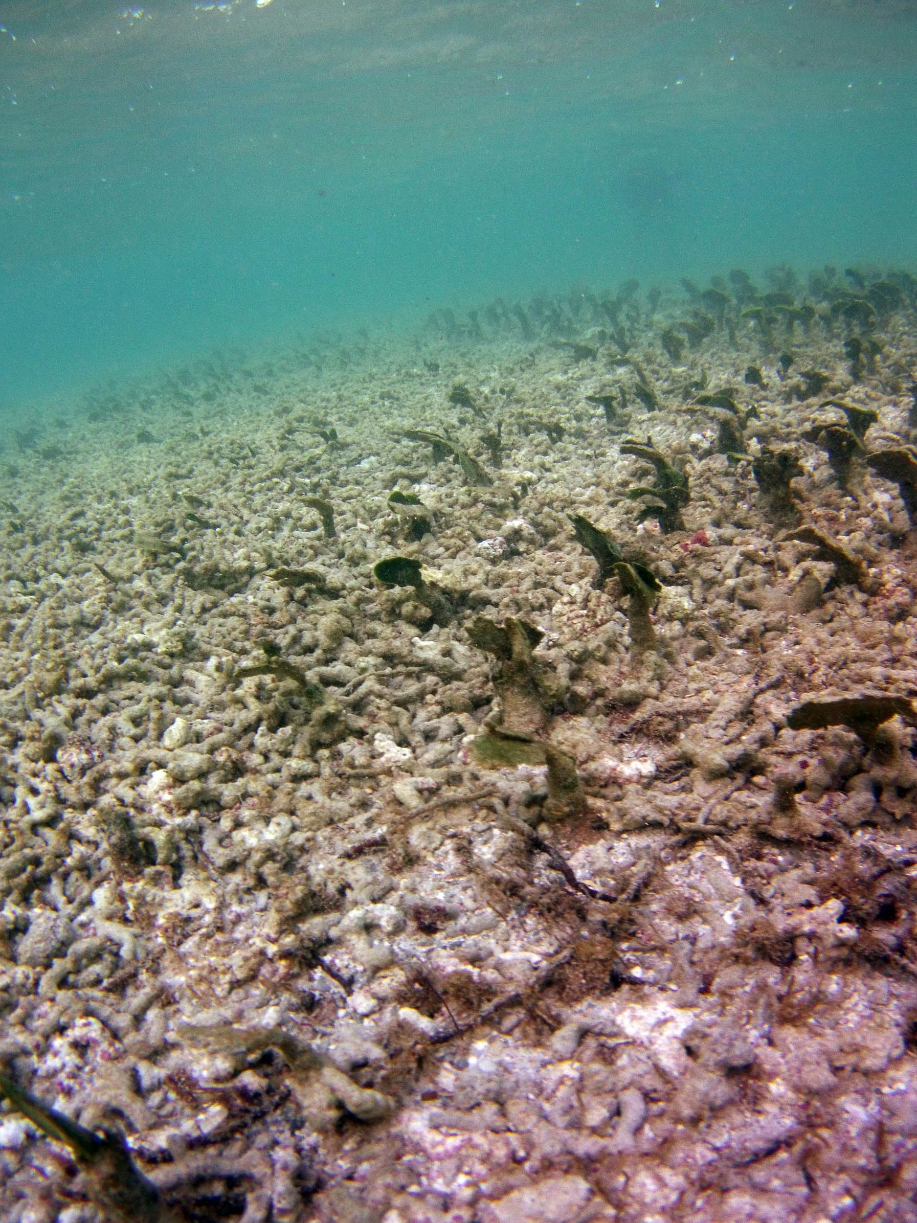
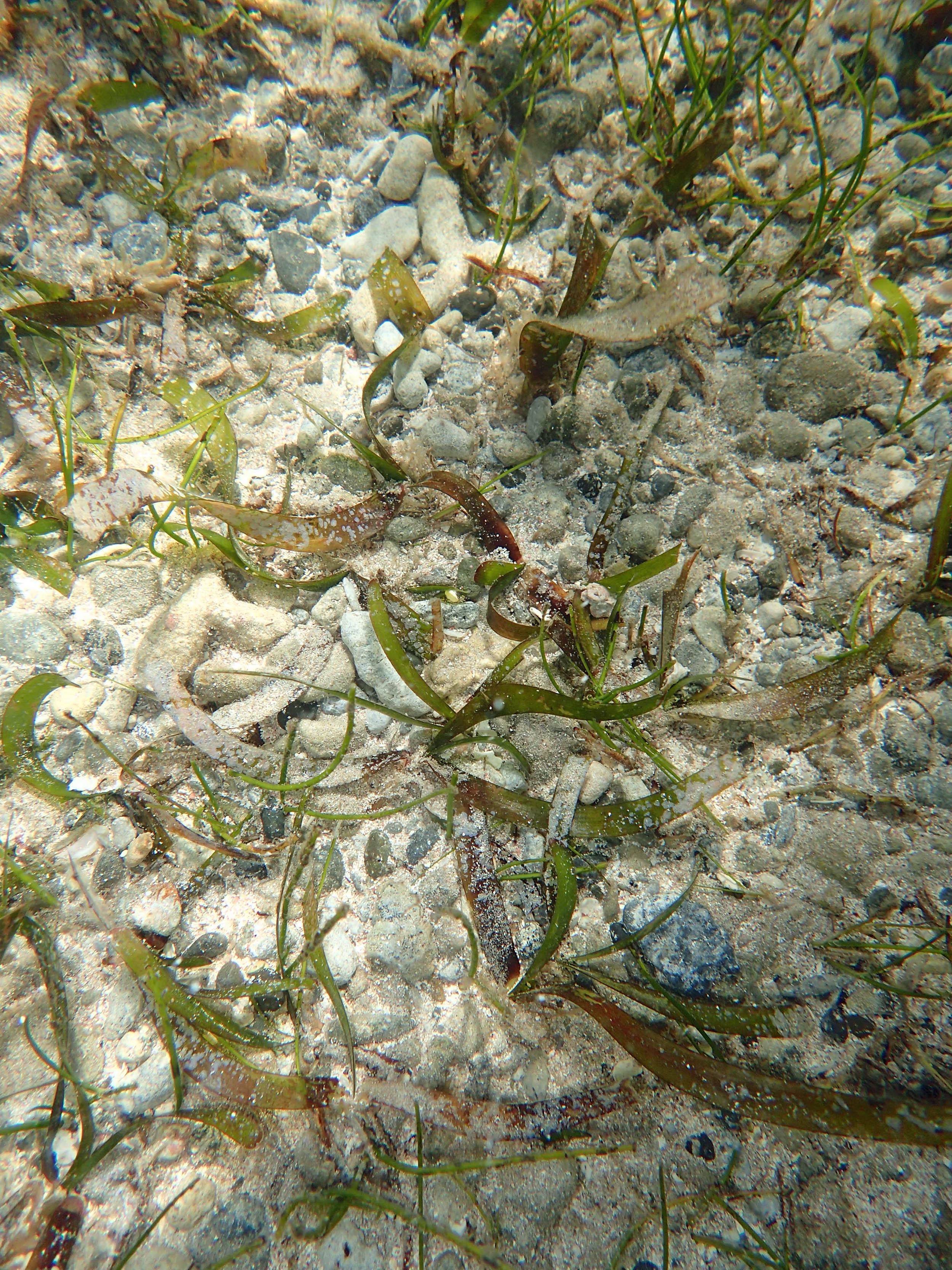 T. testudinum, S.filiforme |
 Caulerpa sp. |
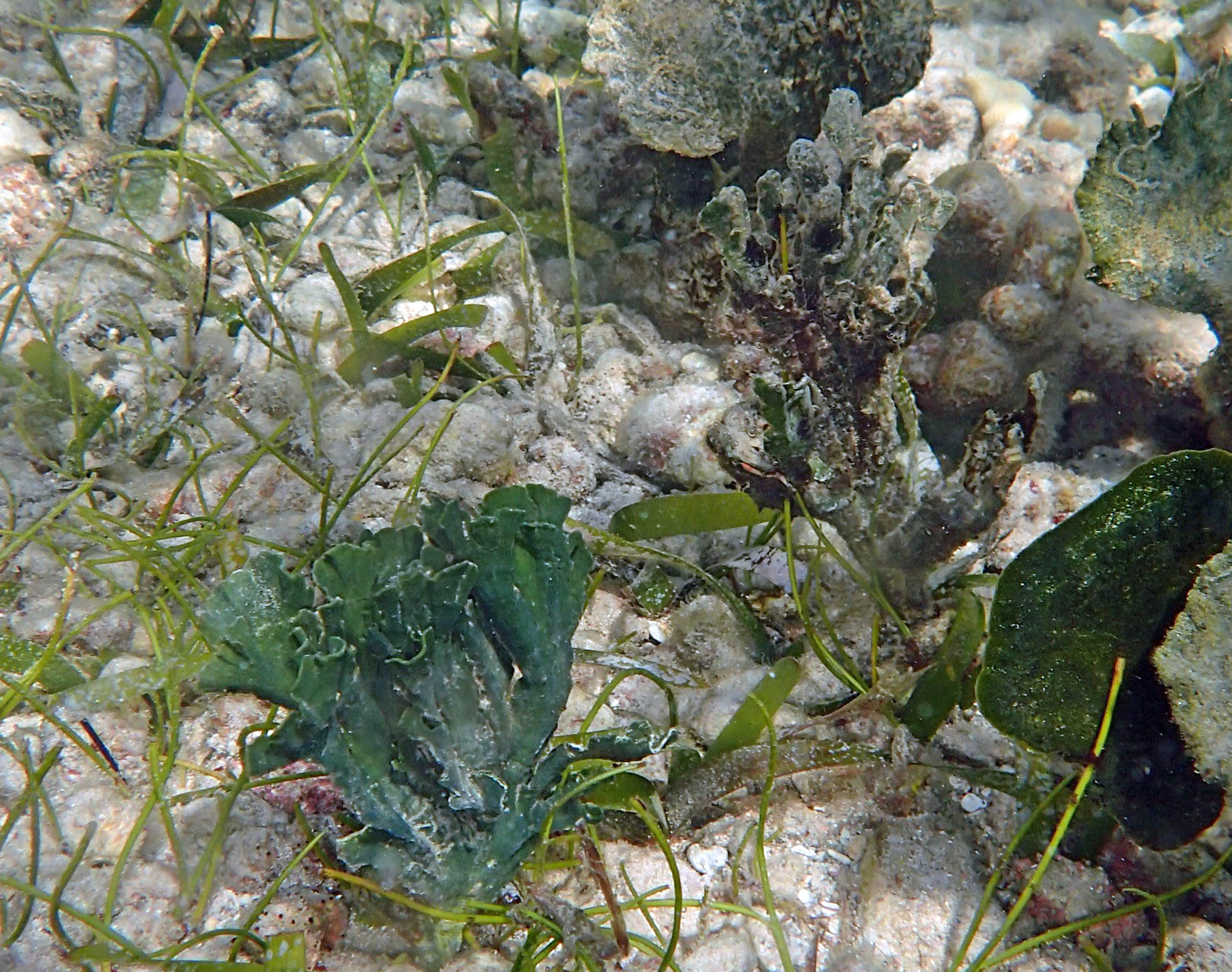
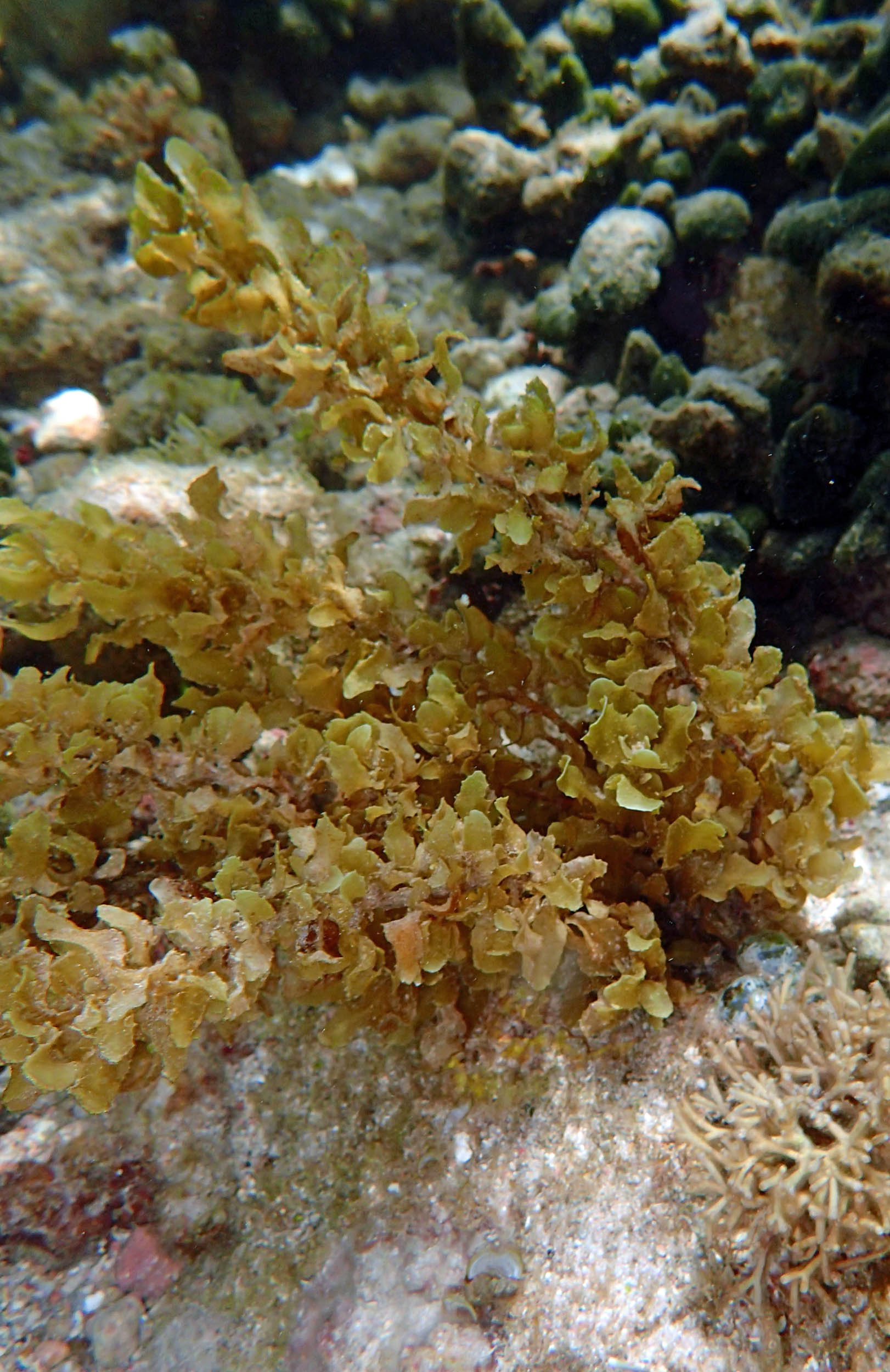
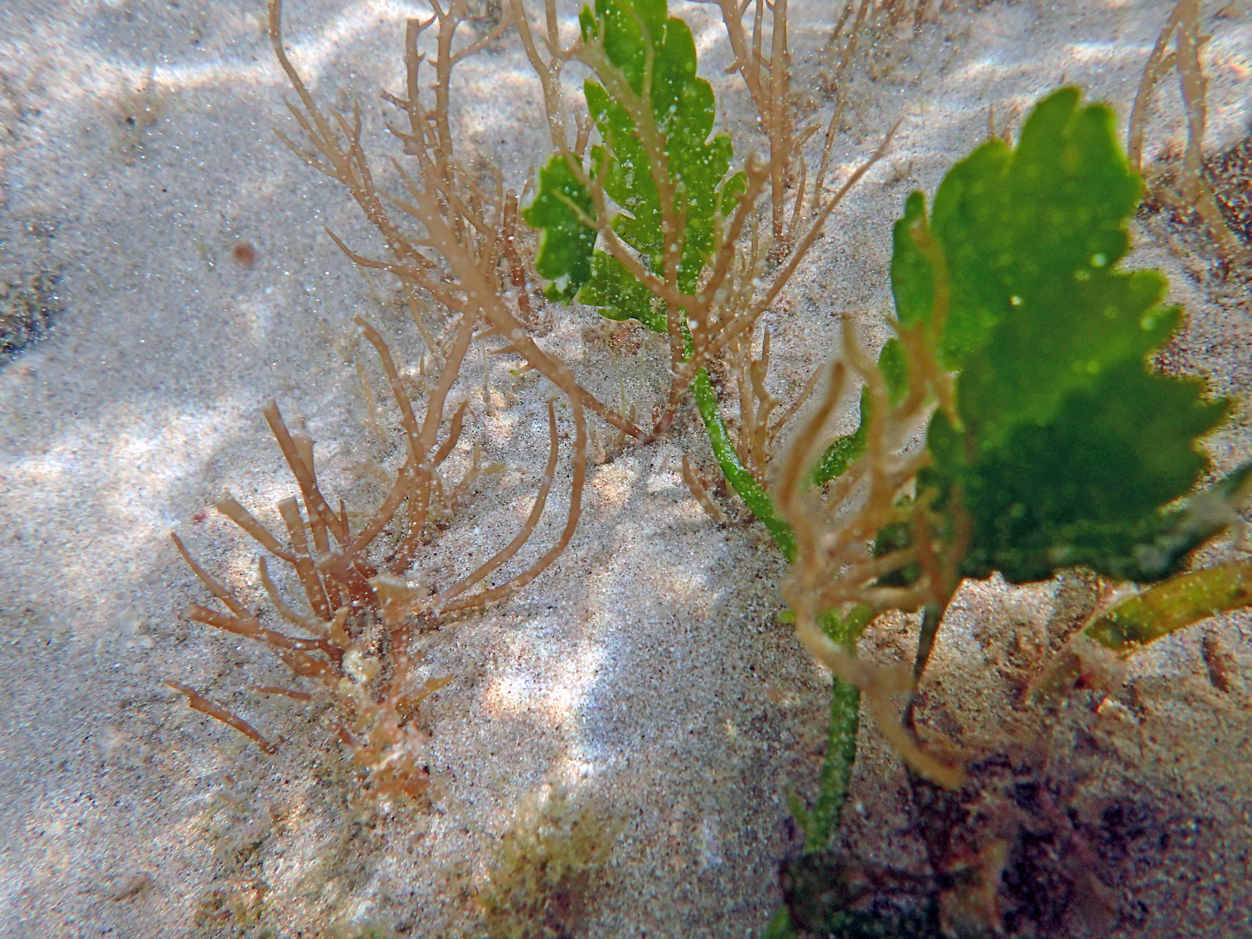 Gracilaria sp., Caulerpa sp. |
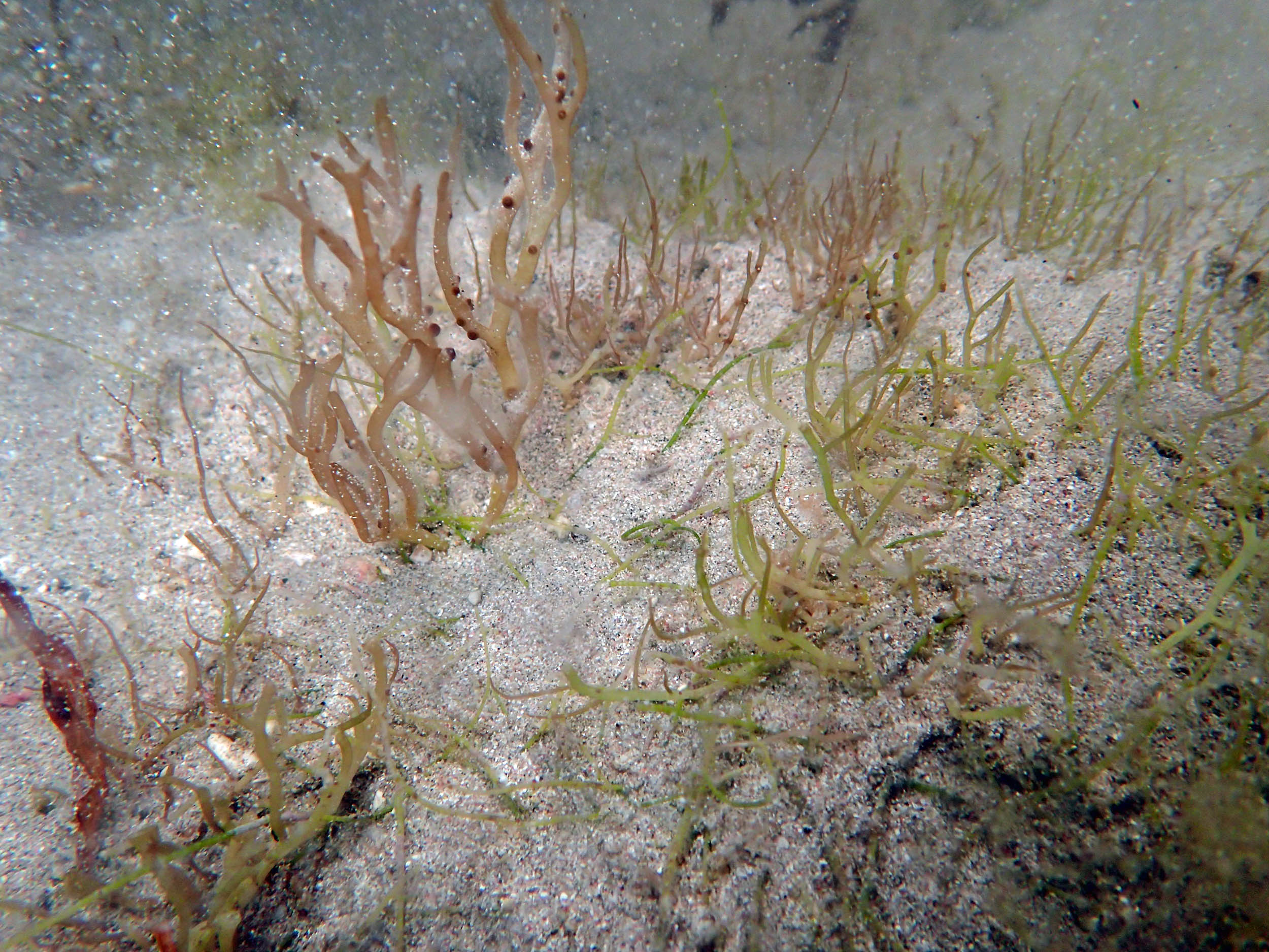 Gracilaria sp. |
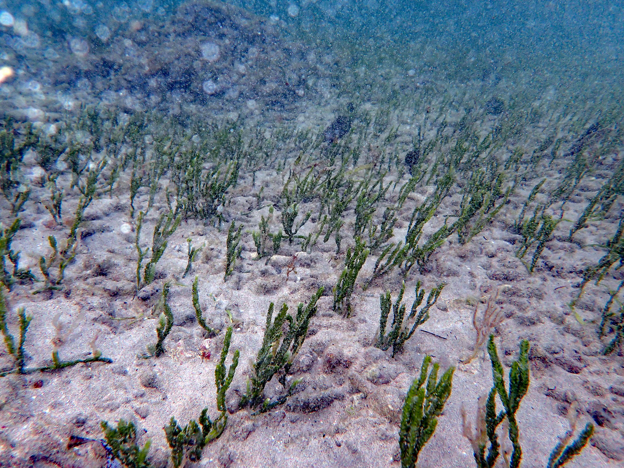
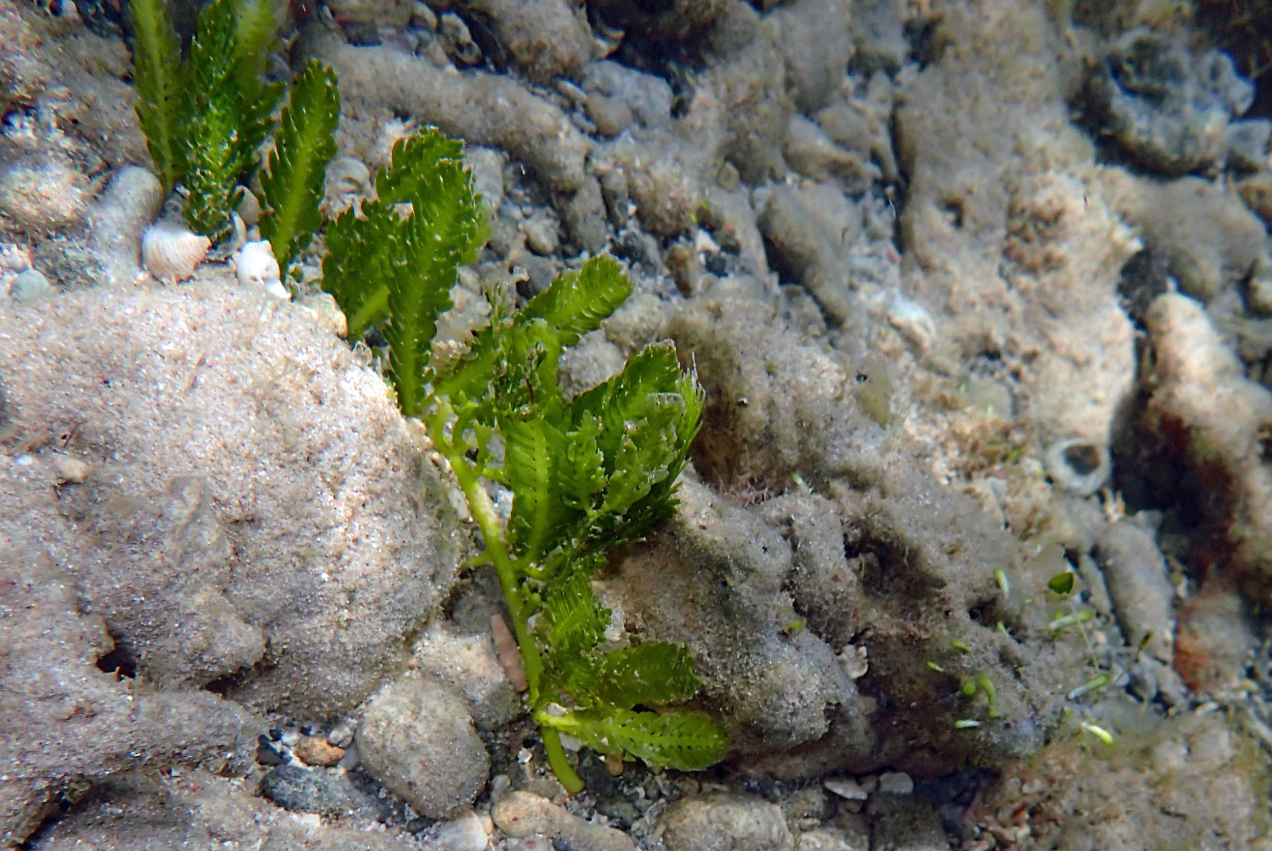 Caulerpa sp |
Transect 5S
Photos on Feb 25, 2015
 2015 – #054 Bank onshore |
 2015 – #055 View seaward |
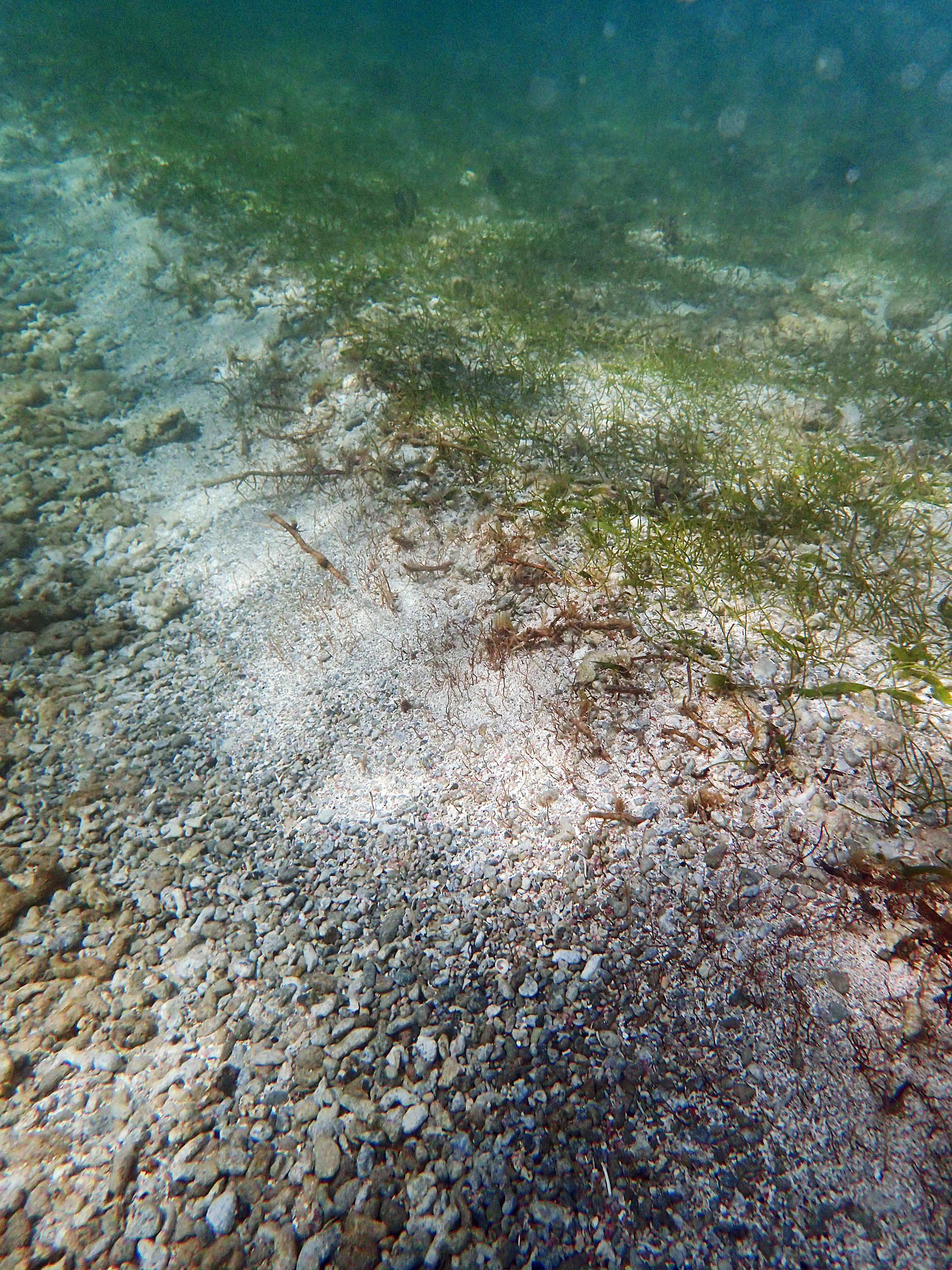
 2015 – #056 at approx 22 m from Bank/upper limit if beach |
 2015 – #059 at approx 59 m |
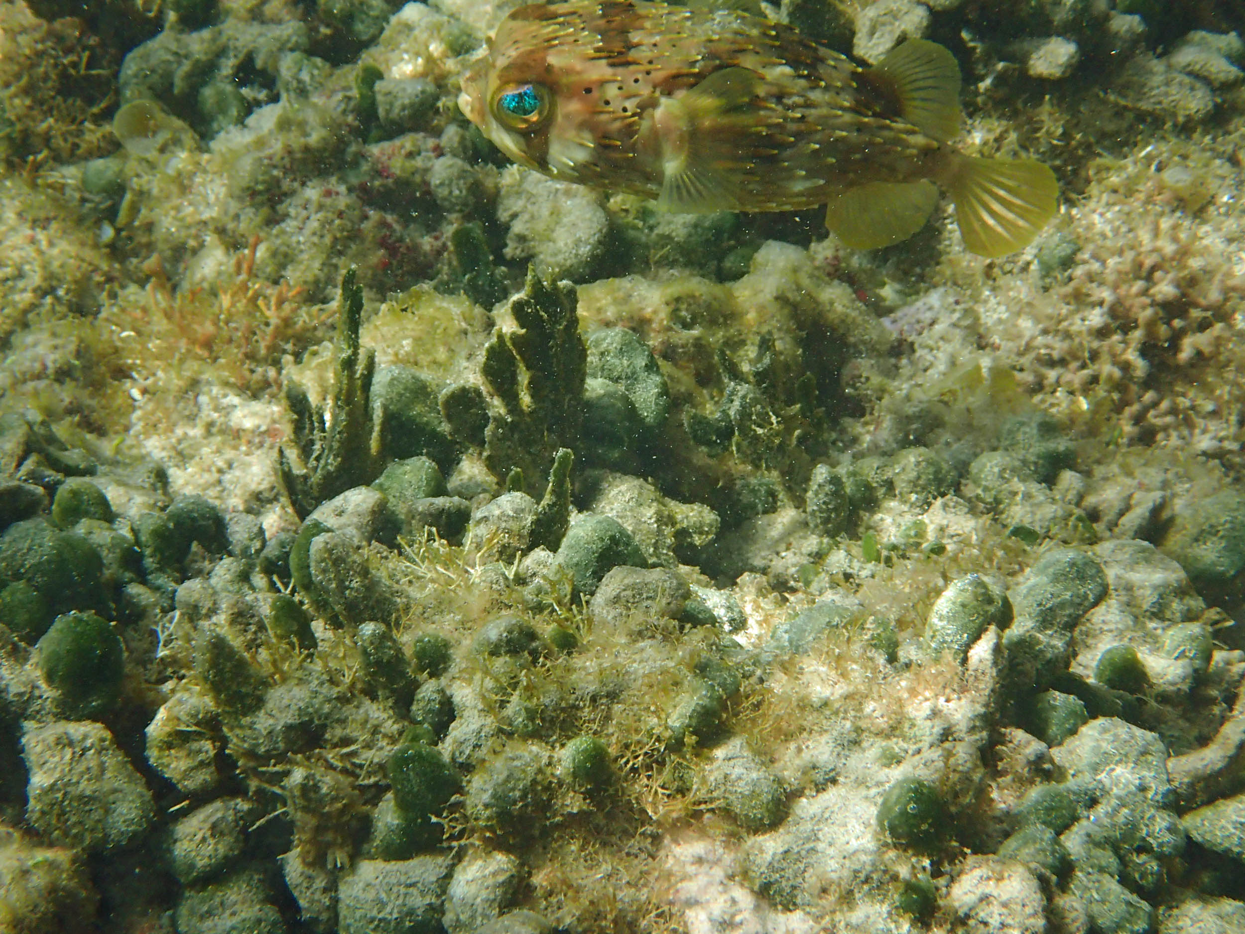
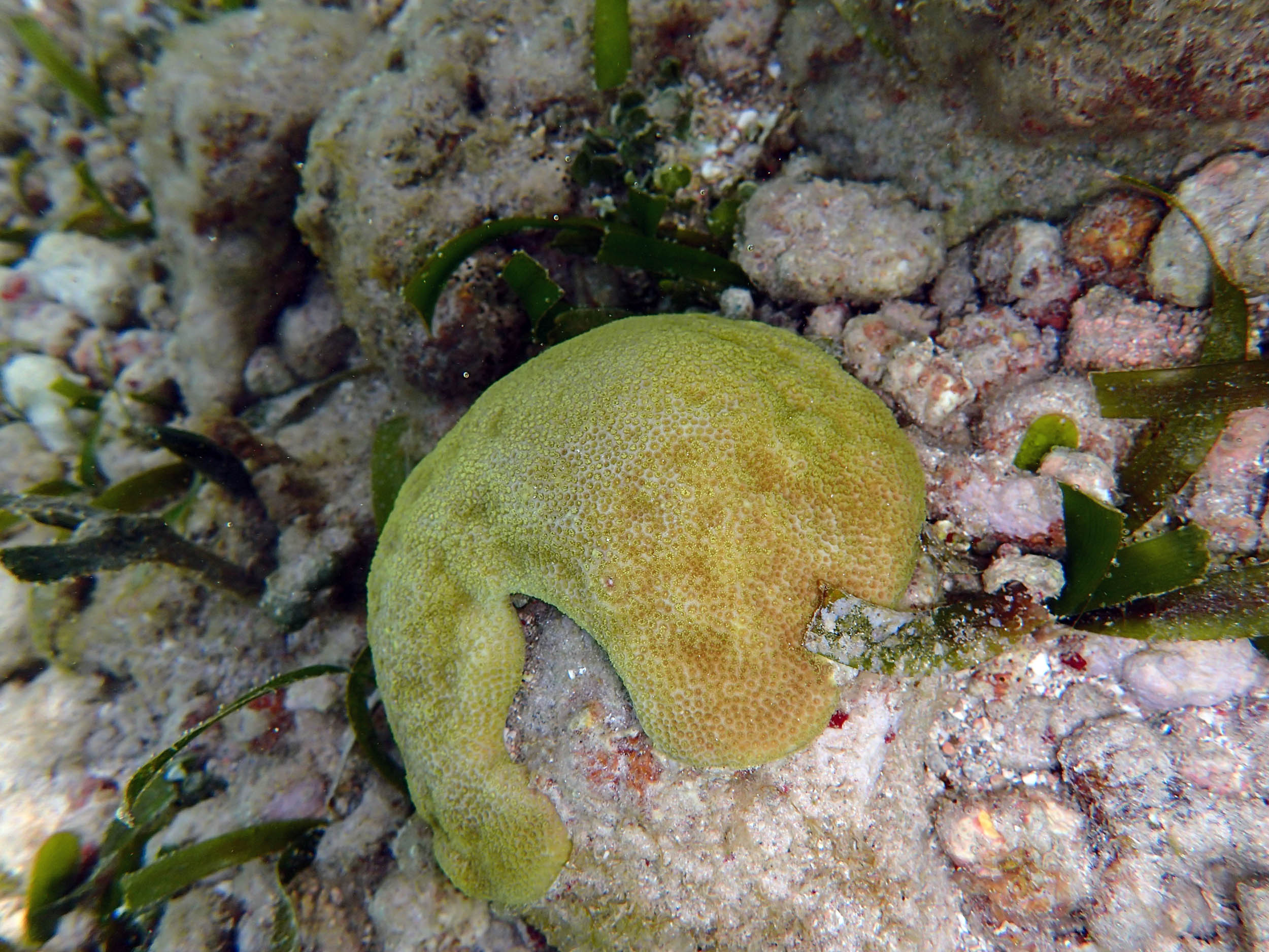
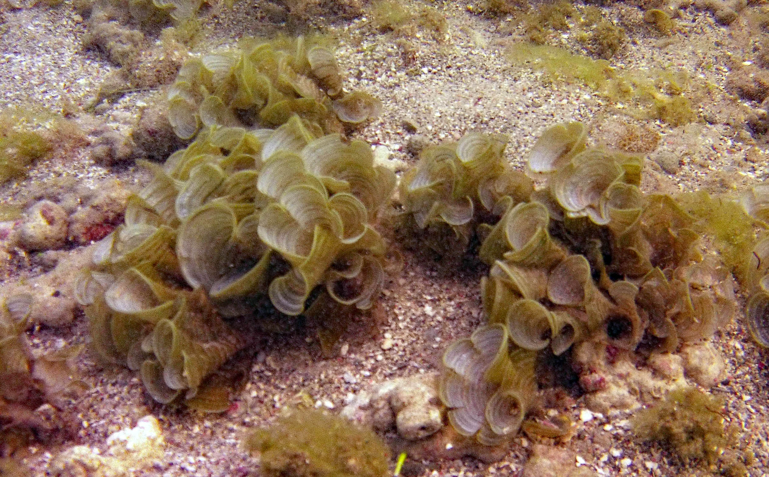
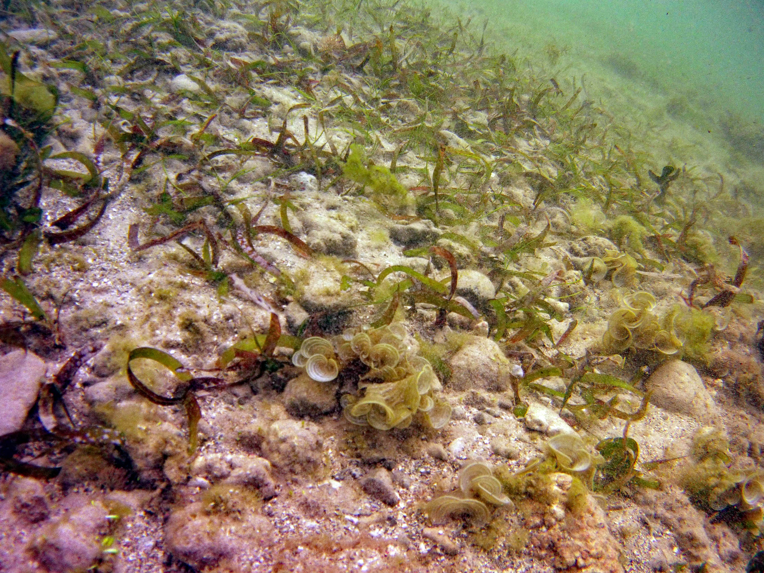
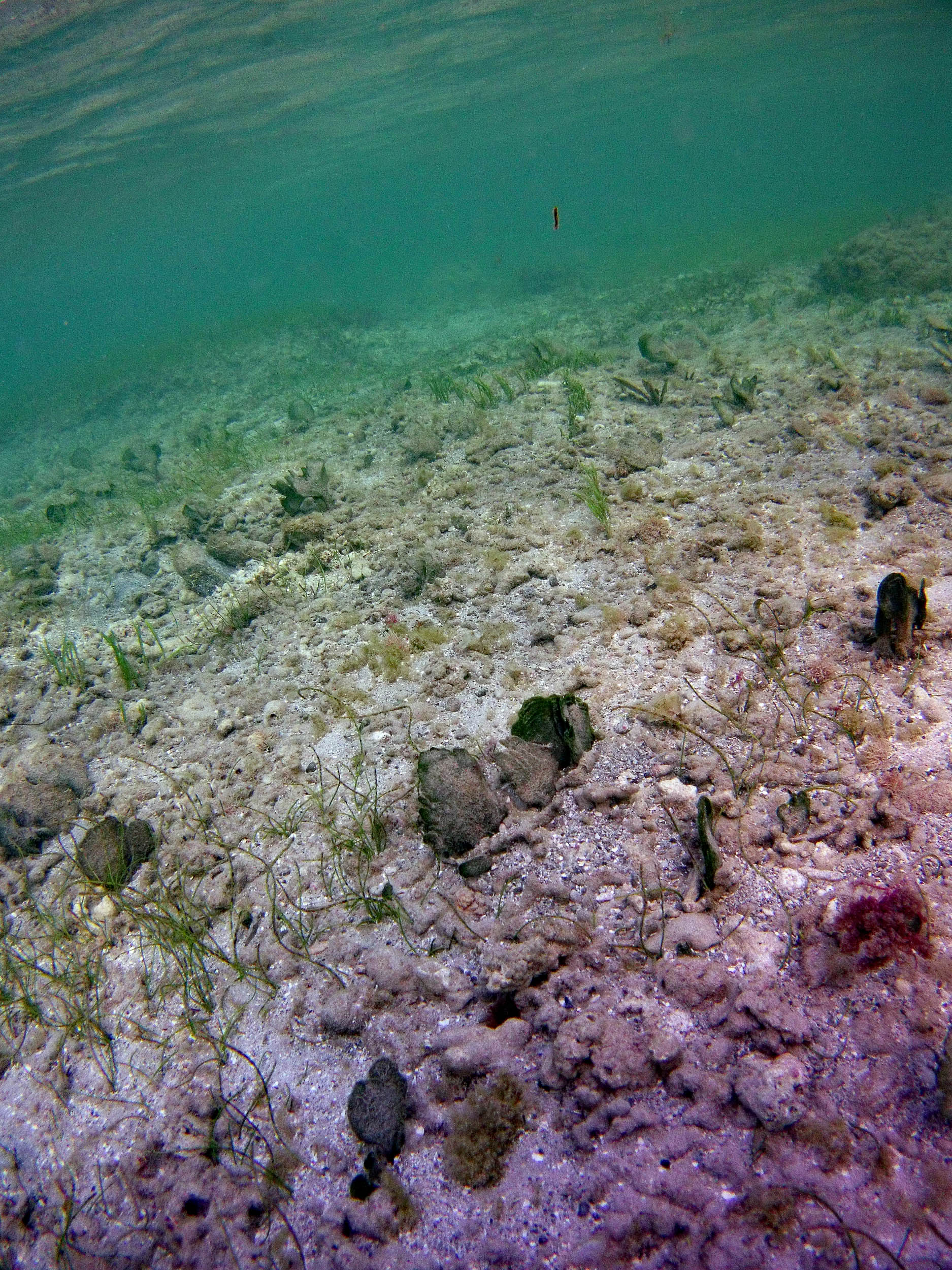
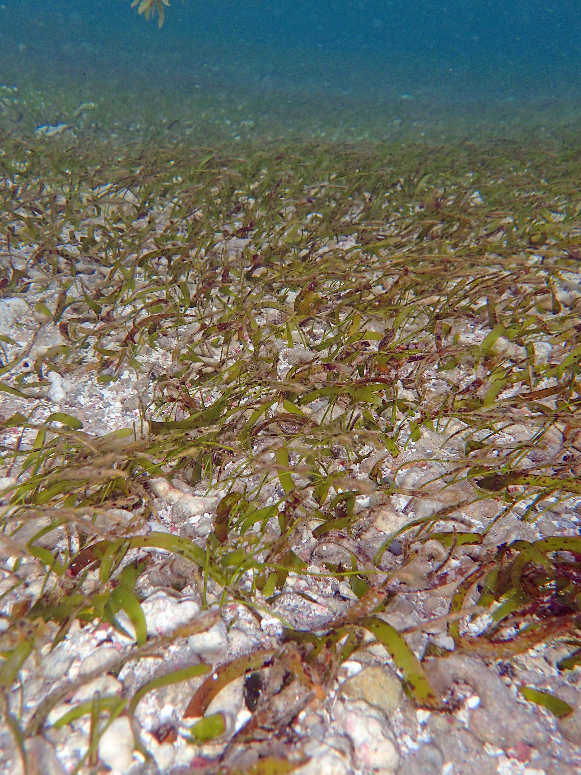 2015 – #062 at approx 74 m. Overall healthiest seagrass area at Bath in 2015. |
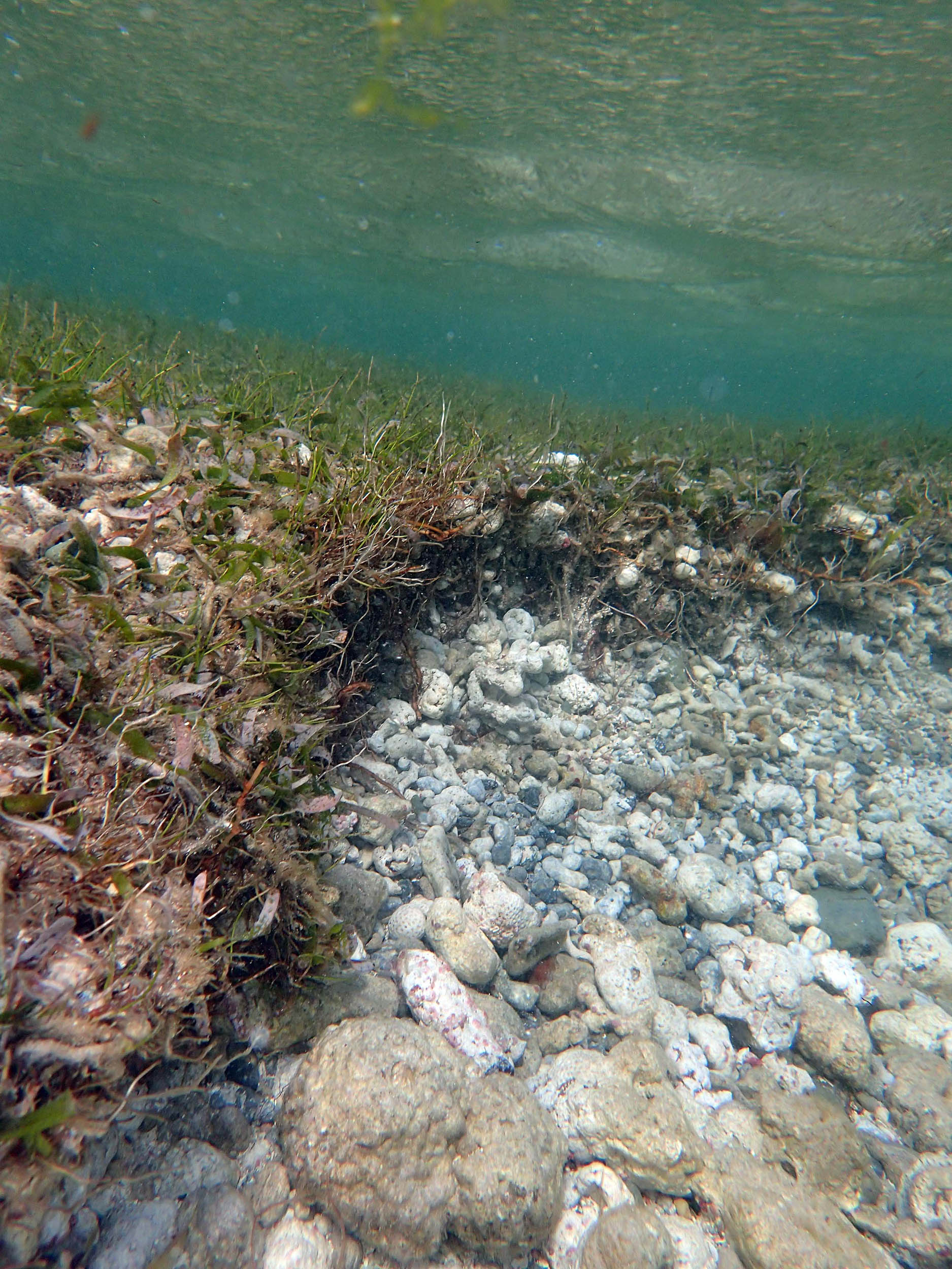
 2015 – #066 Scarp at approx 148 m. The scarp faces seaward, likely produced by it being in an area if strong outgoing currents on high wave action days |
2015 – #067 at approx 155 m