
NAVIGATION
This page is a subpage of Coral Rubble Flats, Algal & Gorgonian Pavements.
That page is a sub-page of ObsSG, a top-level page on the website
Barbados Fringing Reefs and Seagrass Beds (www.versicolor.ca/barbados).
Go to ObsSG for a list of other subpages in this section of the website.
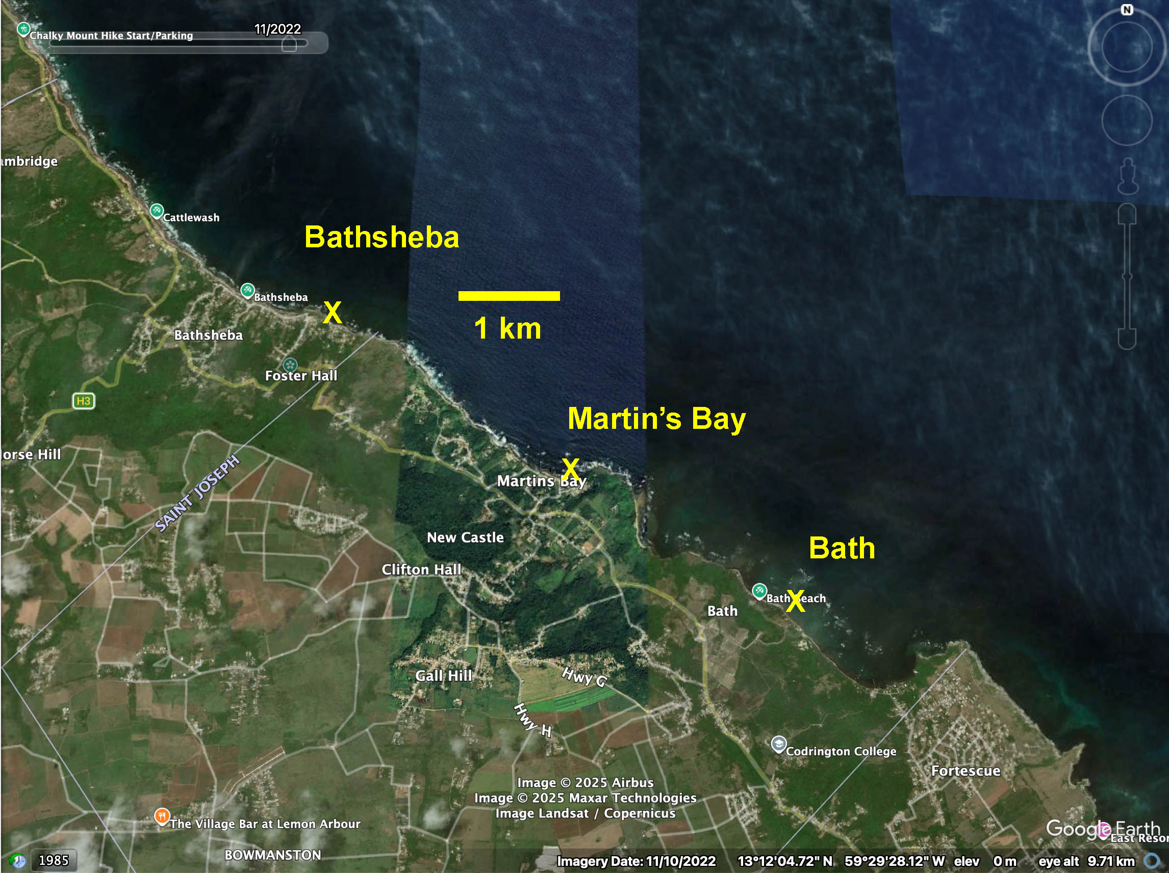
Google Earth Map: Regional Setting for 2025 Observations on Coral Rubble Flats in east (windward) coast of Barbados>
These photos illustrate “Coral Rubble Flats” at Bathsheba, Barbados on Mar 21, 2025.
Other sites: Bathsheba, Martin’s Bay, – see Map at right for regional setting.
See Coral Rubble Flats, Algal & Gorgonian Pavements for more details, context.
Click on images for larger versions
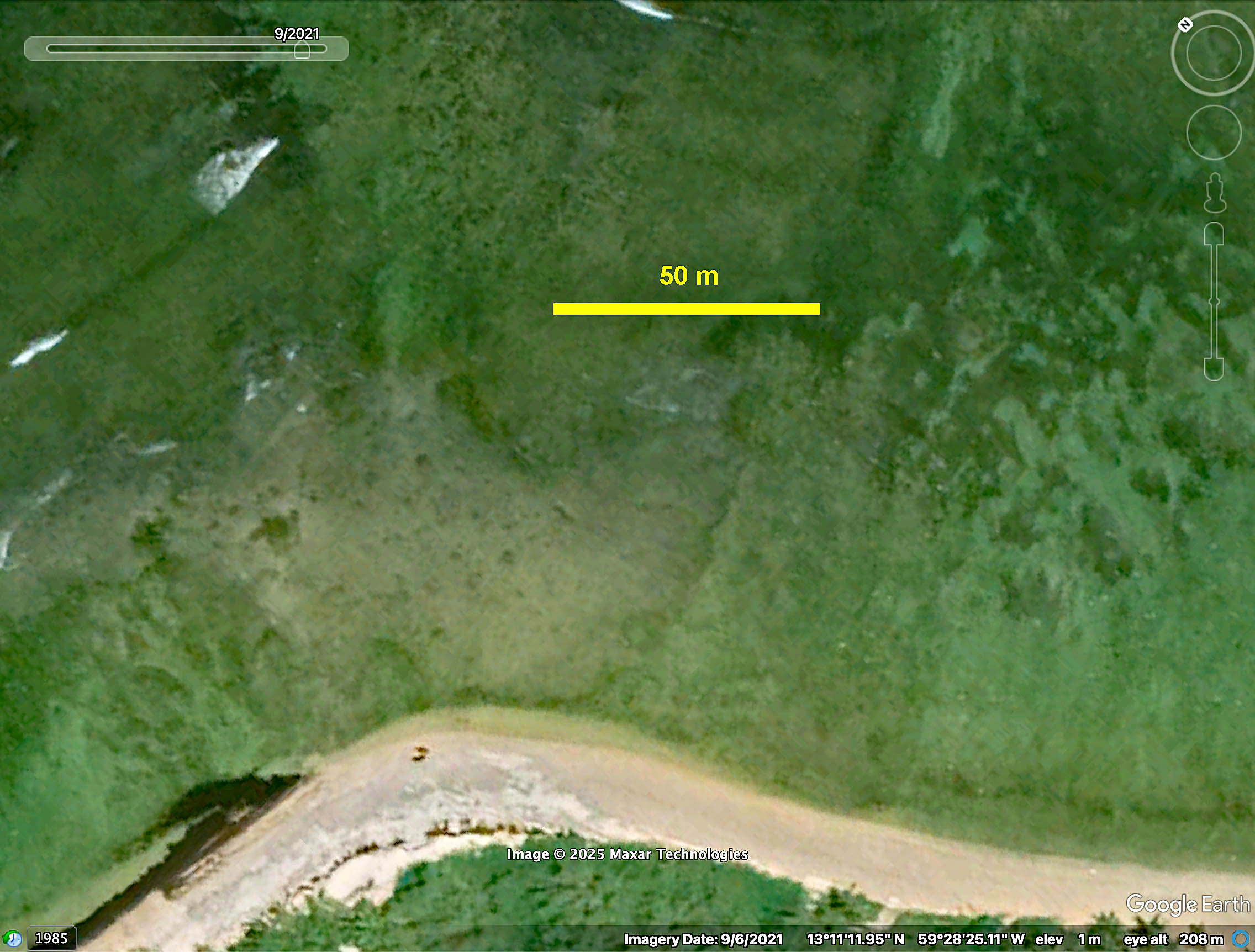
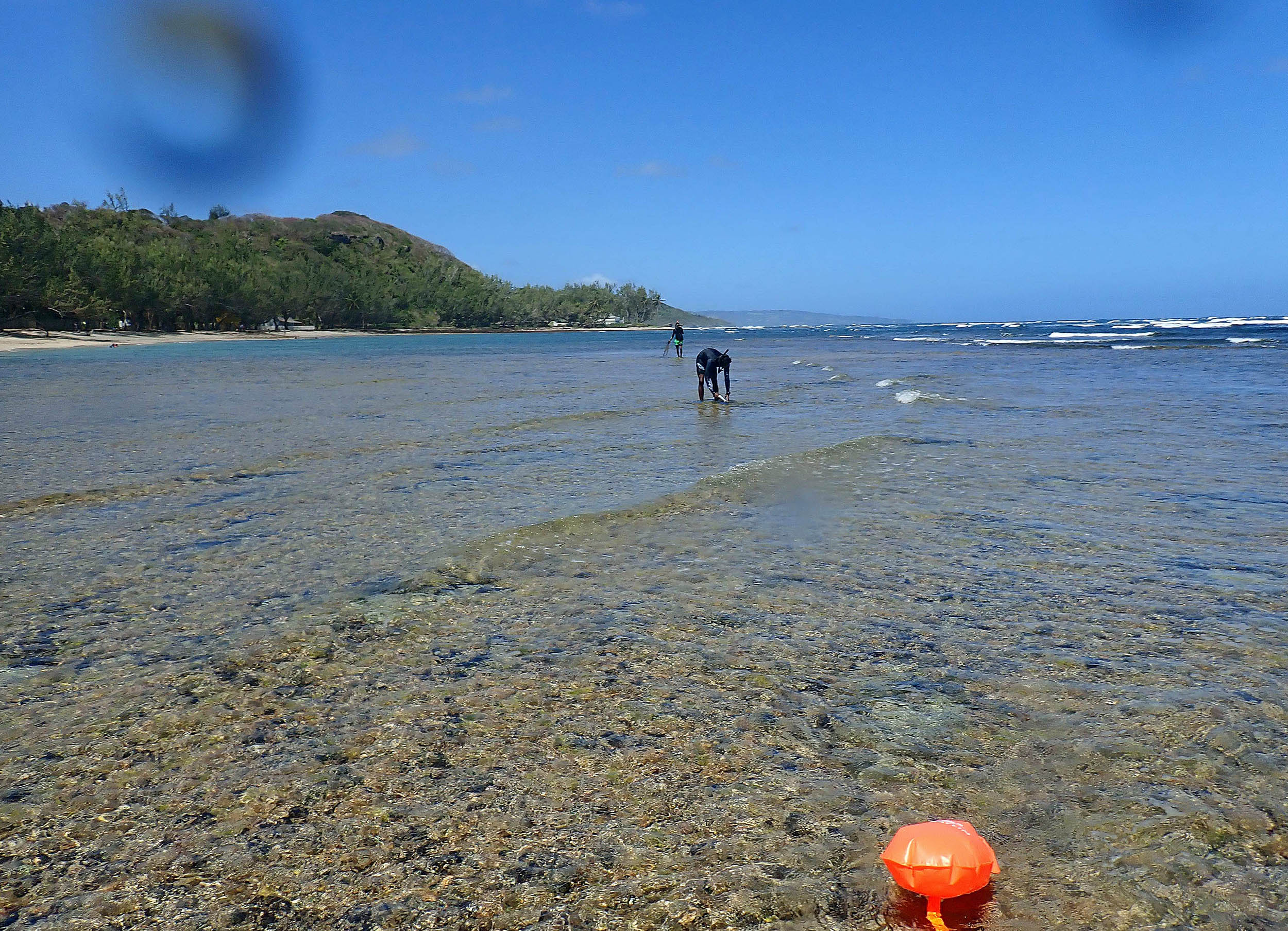
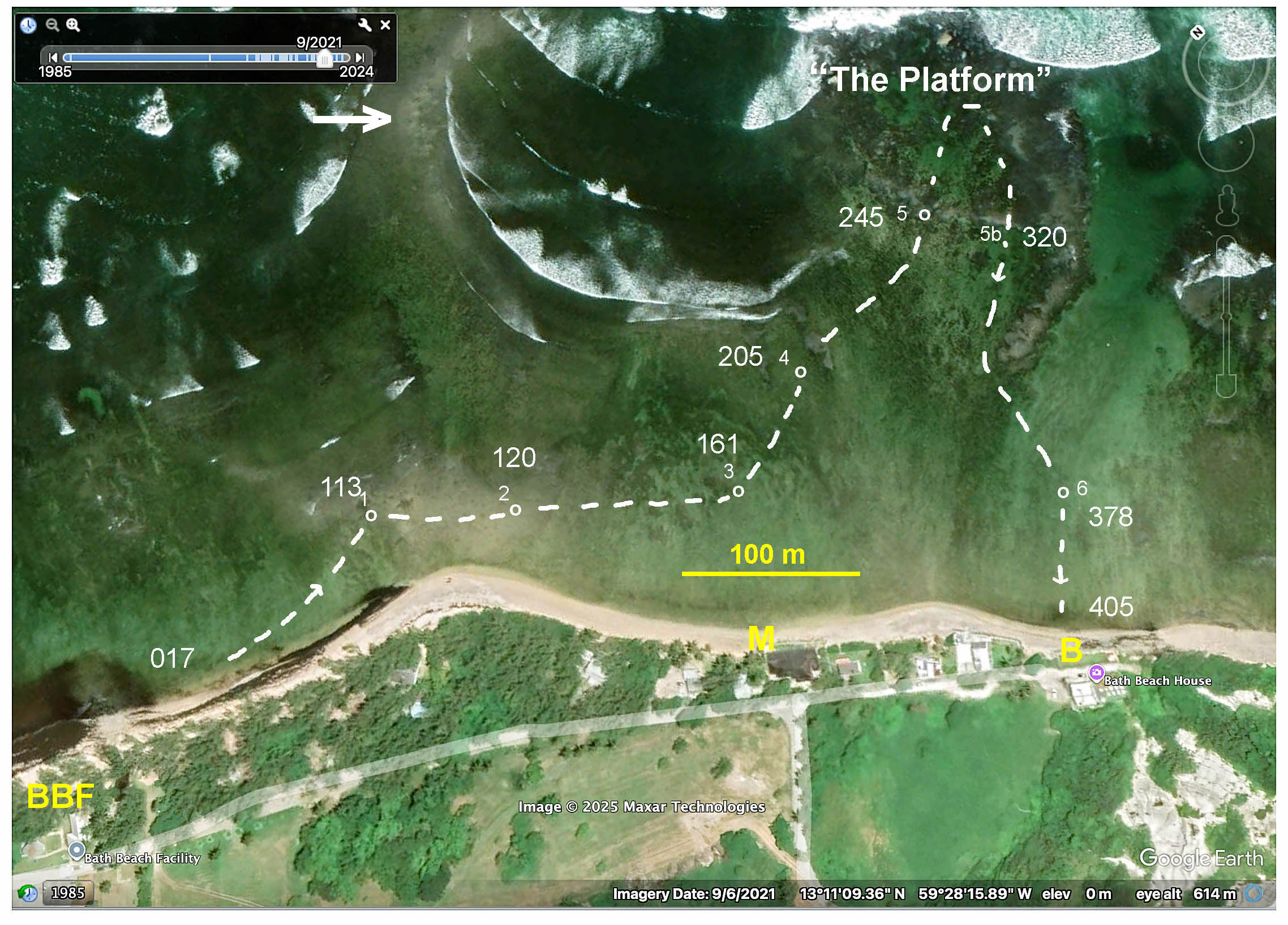 These photos are a subset of photos from a “Photo-Survey” at Bath on Mar 2, 2025 following the route above. The Coral Rubble Flats are the lighter coloured area between Stns 1 and 2 above. |
 Closer up |
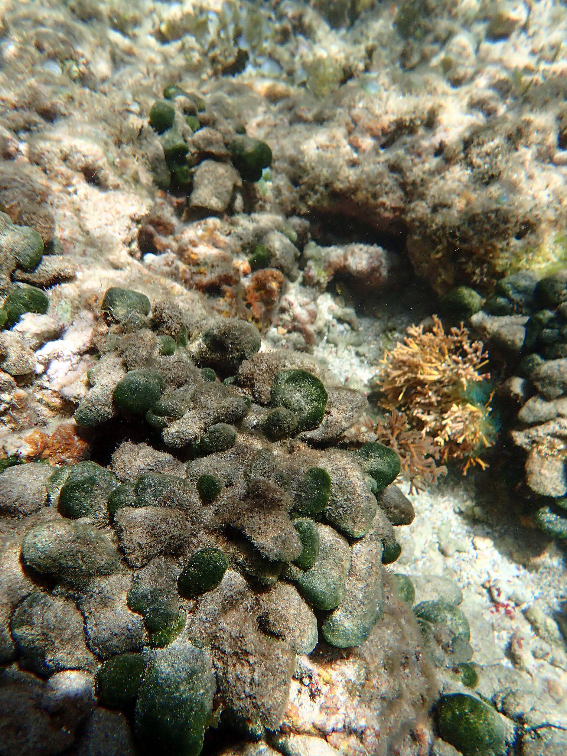
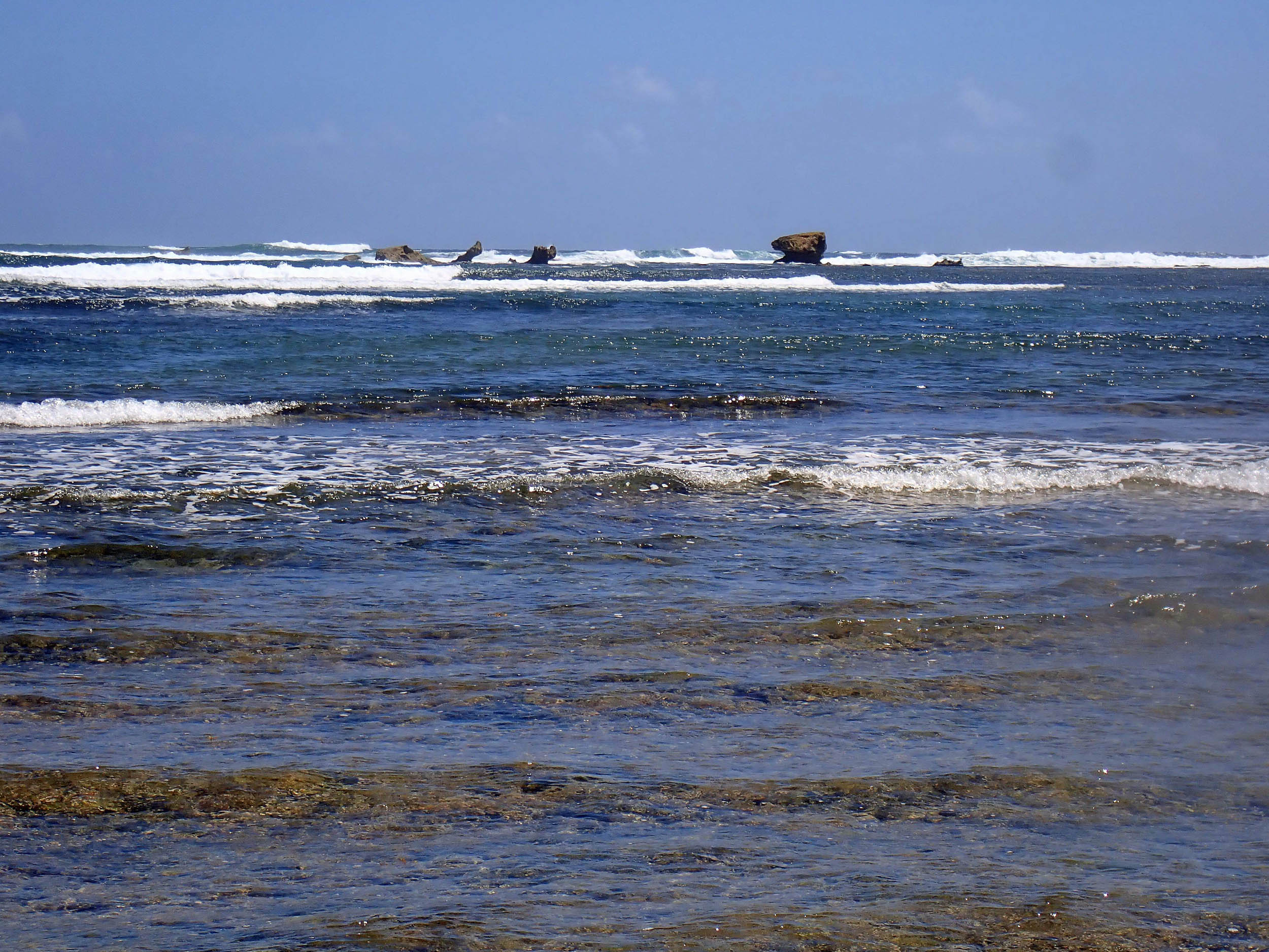
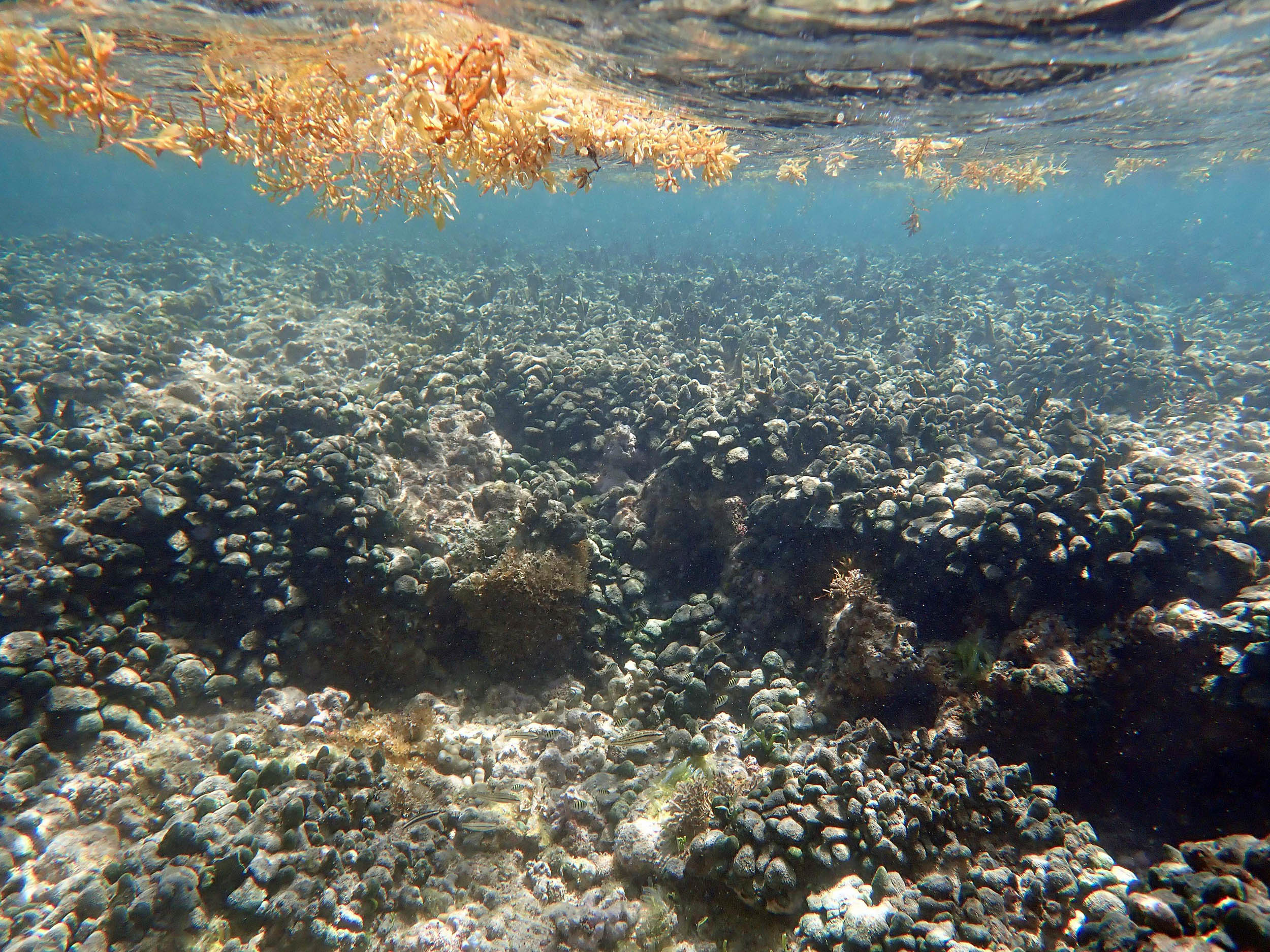 2025 – #106 View towards edge of the Coral Rubble Flats/extension of it into slightly deeper water. This is firmly bound, likely partially to well lithified substrate. The “spongy” alga is Avrainvillea rawsonii |
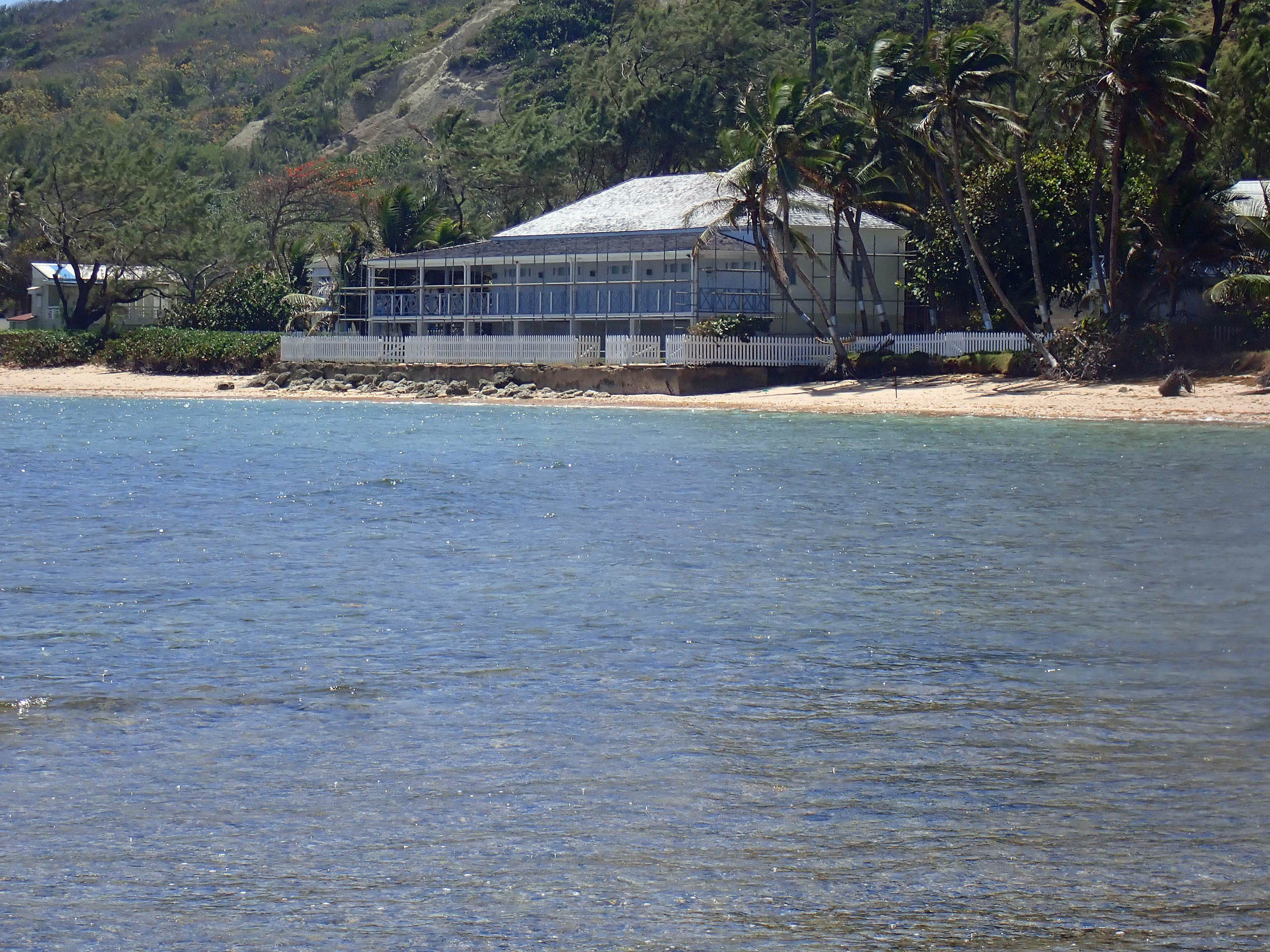
 2025 -#109 Close to the edge of the Coral Rubble Flats |
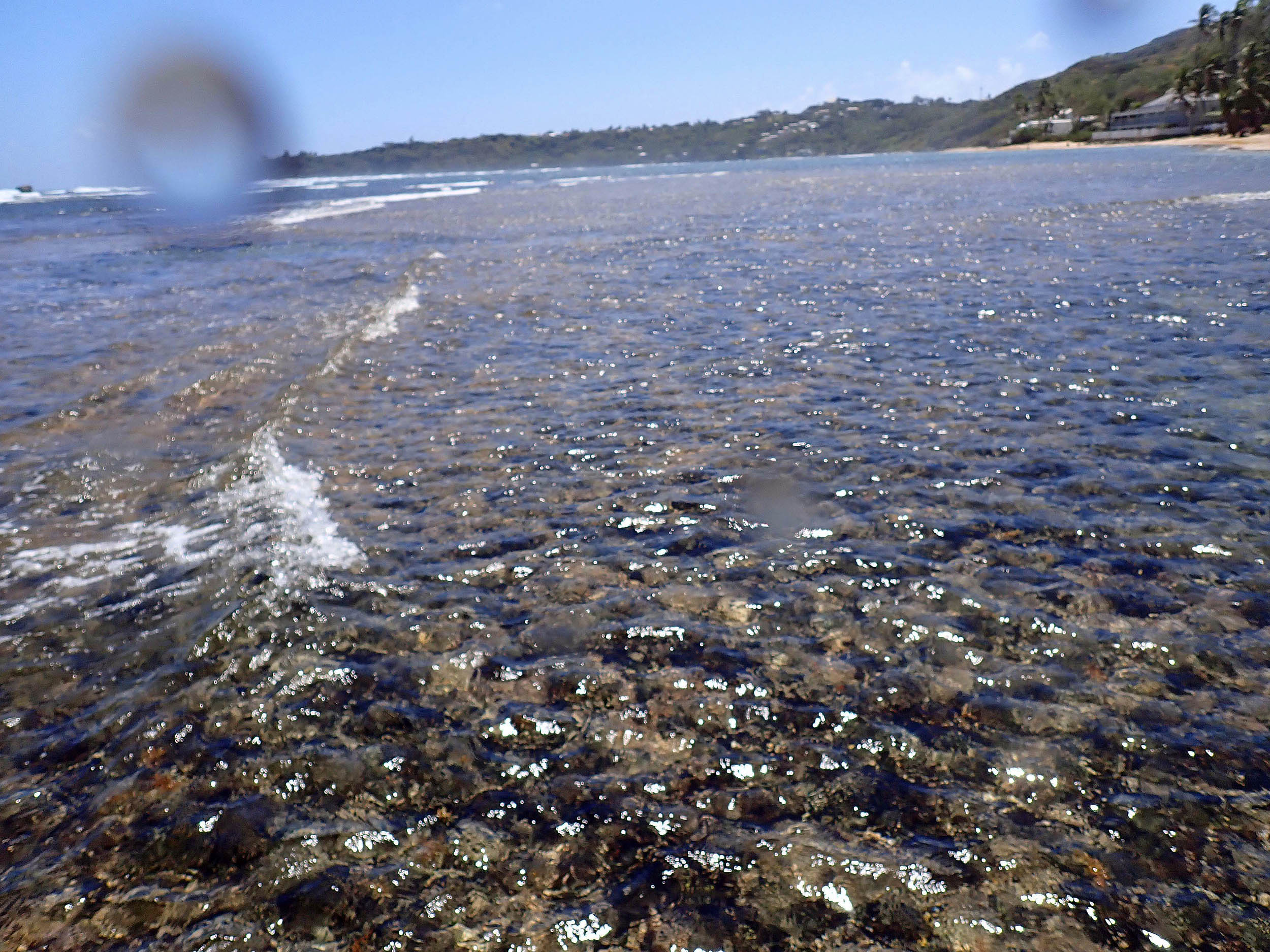 2025 – #113 Pos’n 1 on Map; View 142deg (SE); on shallow, cemented (litified) calciferous, Coral Rubble Flats |
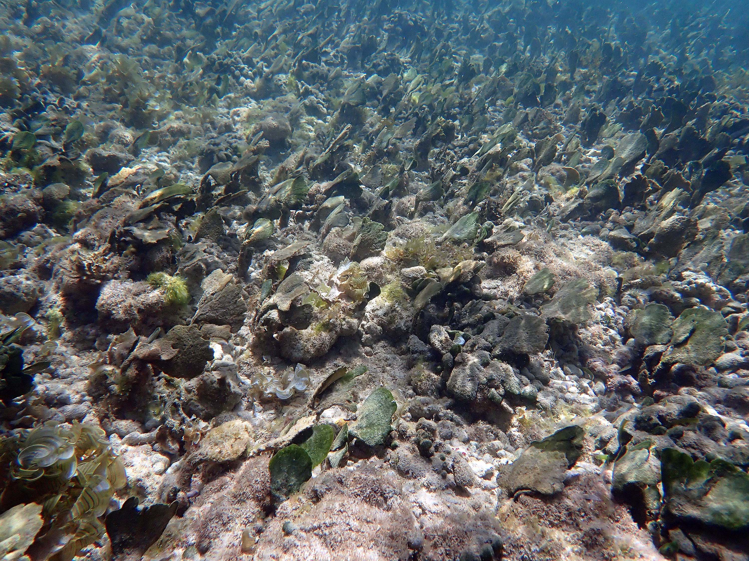
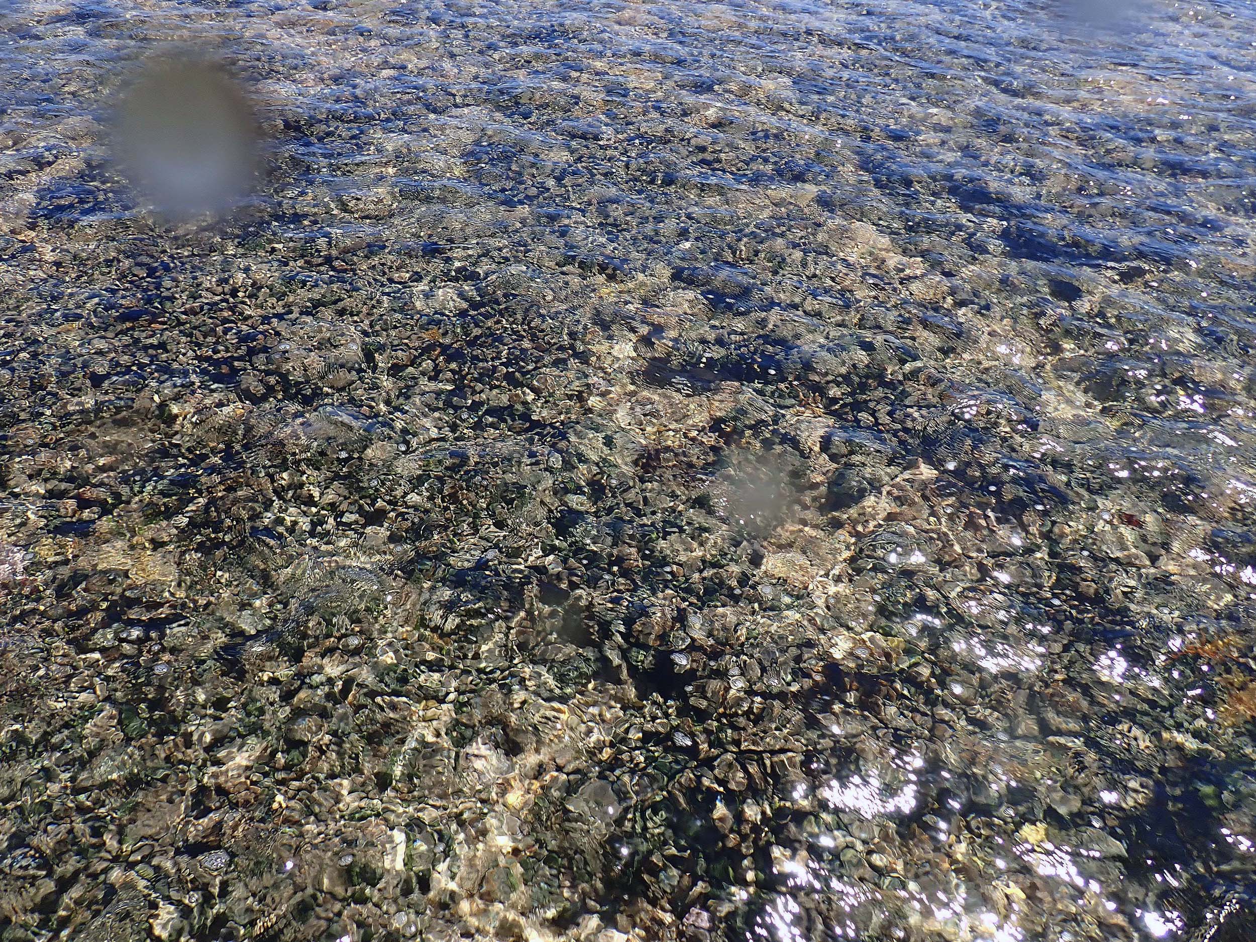 2025 #114 Looking down at the Coral Rubble Flats (too shallow to photograph underwater; time close to Low Water. Abundant Avrainvillea rawsonii. |
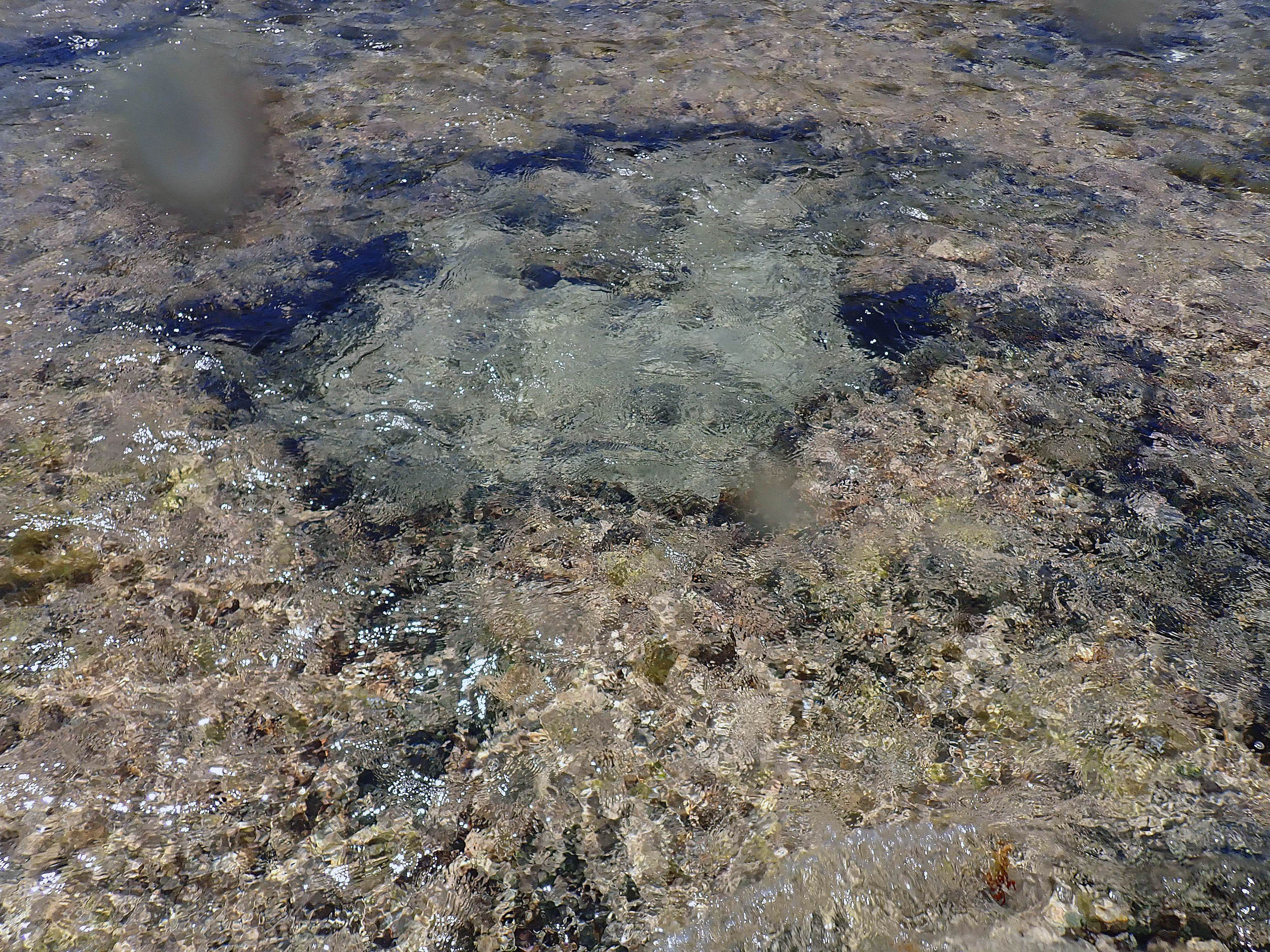 2025 #117 Pool within the calciferous, Coral Rubble Flats. |
 2025 #119 v. close to Pos’n 2, view -74 deg (NW) |
 2025 # 120, Pos’n 2, view 99 deg (E) |
 2025 #121 v. close to Pos’n2, view -177 deg (SW) |
 2025 – #124 Circa 30 cm depth |