
NAVIGATION
This page is a subpage of Coral Rubble Flats, Algal & Gorgonian Pavements.
That page is a sub-page of ObsSG, a top-level page on the website
Barbados Fringing Reefs and Seagrass Beds (www.versicolor.ca/barbados).
Go to ObsSG for a list of other subpages in this section of the website.
DRAFTING…
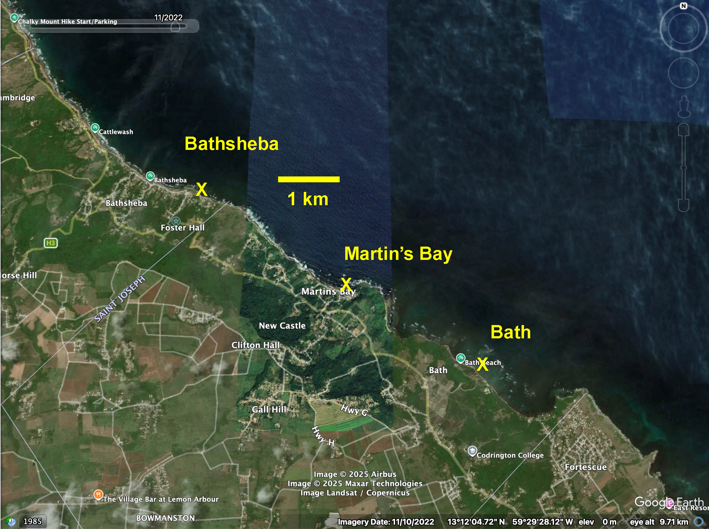
Google Earth Map: Regional Setting for 2025 Observations on Coral Rubble Flats in east (windward) coast of Barbados>
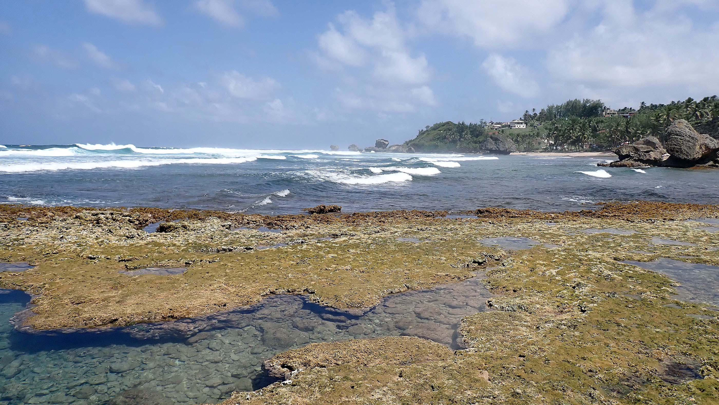
These photos illustrate “Coral Rubble Flats” at Bathsheba, Barbados on Mar 21, 2025.
Other sites: Martin’s Bay, Bath – see Map at right for regional setting.
See Coral Rubble Flats, Algal & Gorgonian Pavements for more details, context.
Click on images for larger versions
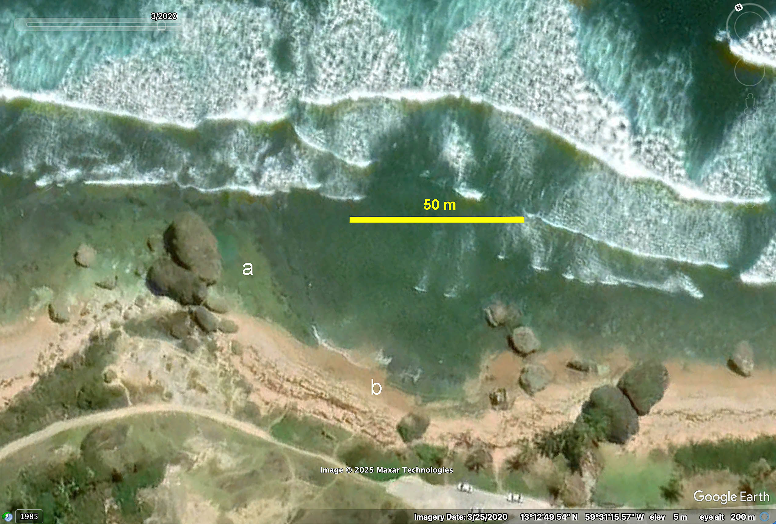 Google Earth Image Area A: Coral Rubble Flats; at Area B, Beachrock near the shore. |
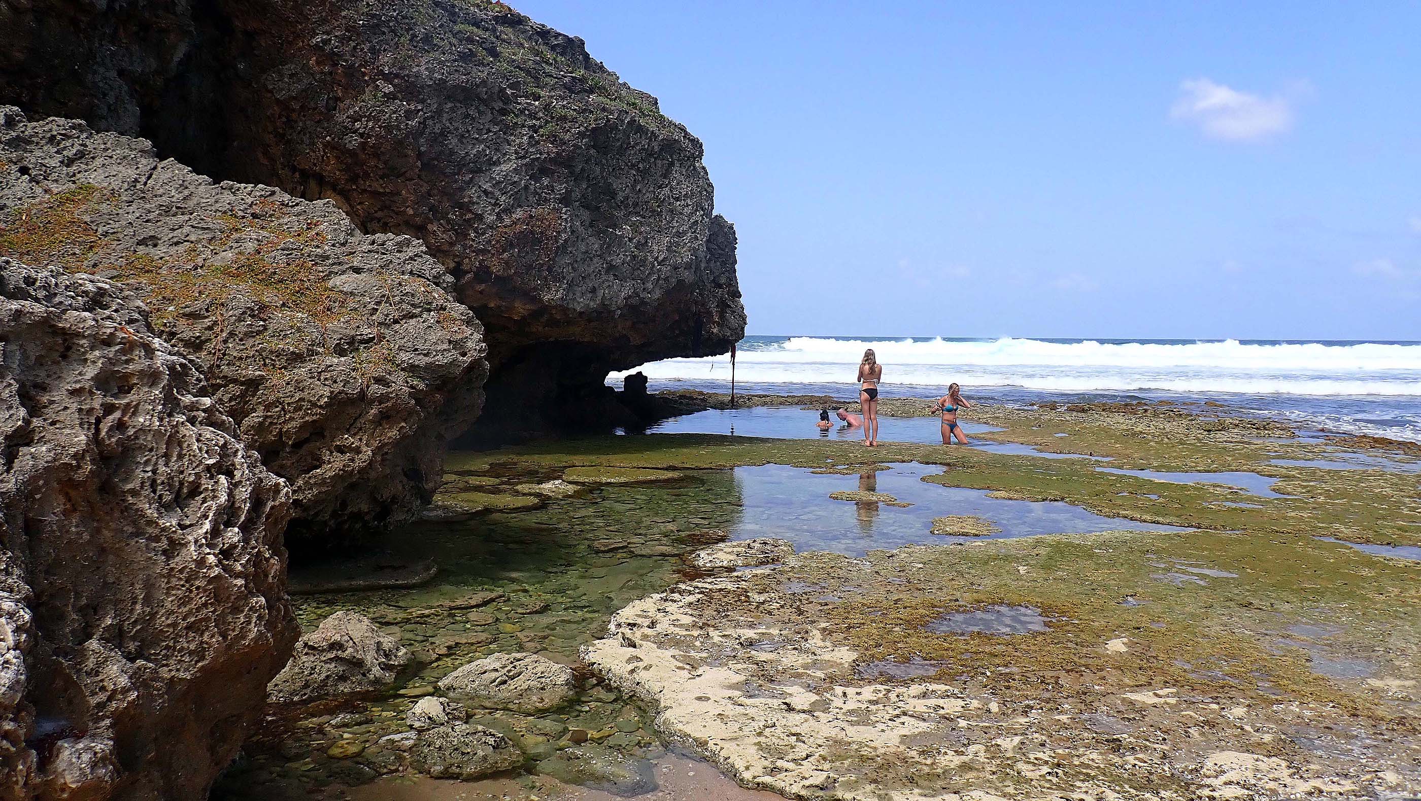 2025 #735 Pools in the Cobble Rubble Flats by ancient coral rocks are popular for wading – when the tide is low! It’s possible that there is a combination of Beach Rock (closer to the rocks in foreground) and Cobble Rubble Flats at this site. |
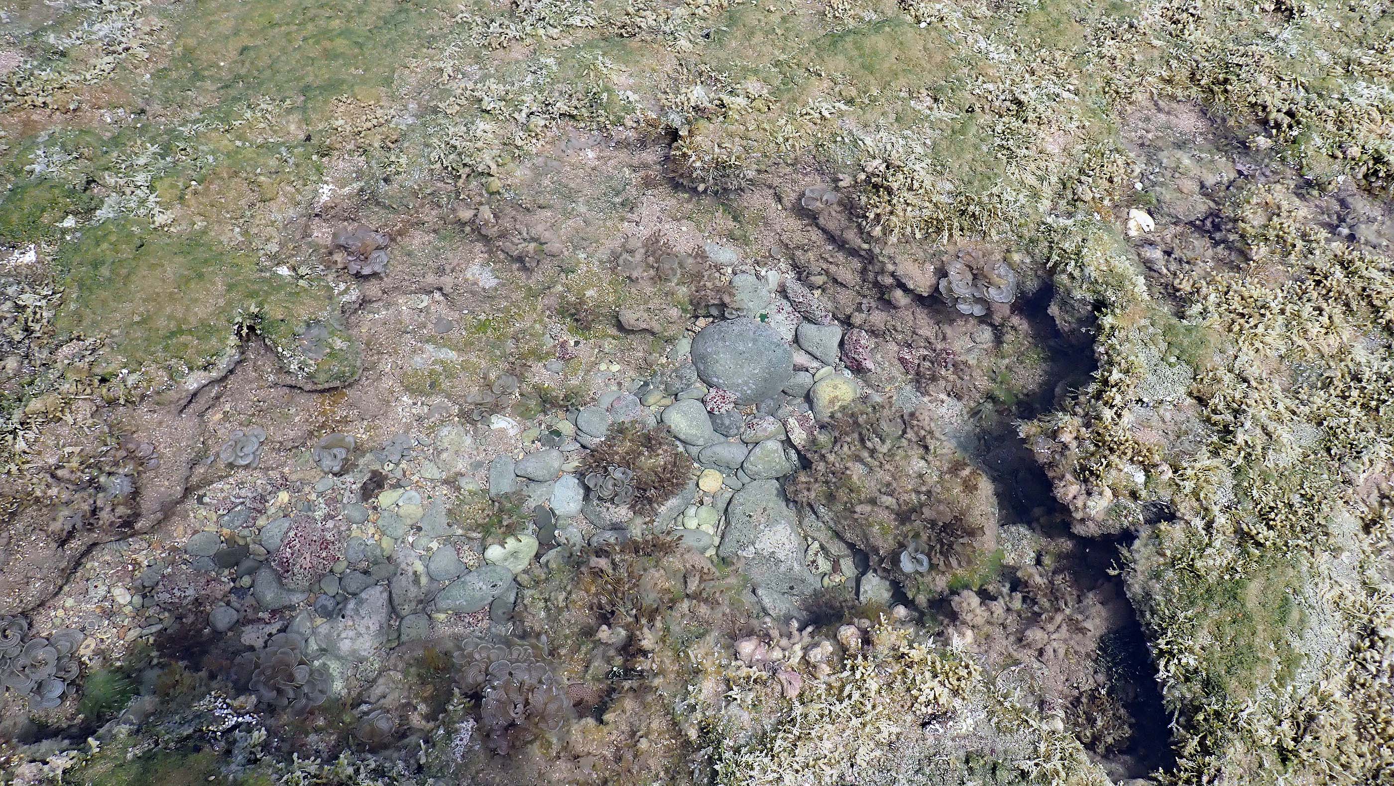 2025 #736. Tide pool in the Coral Rubble Flats |
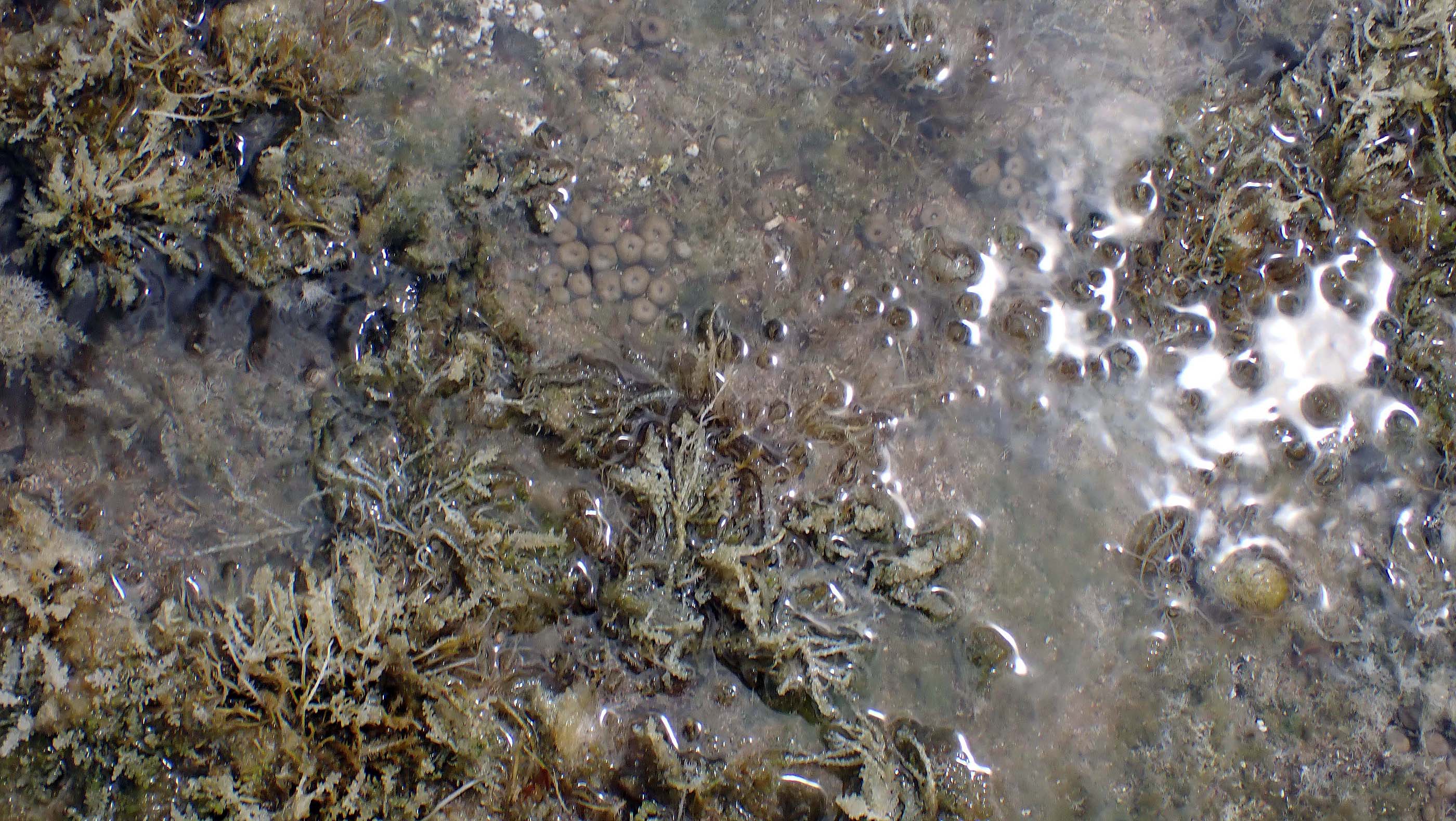
 2025 #749 |
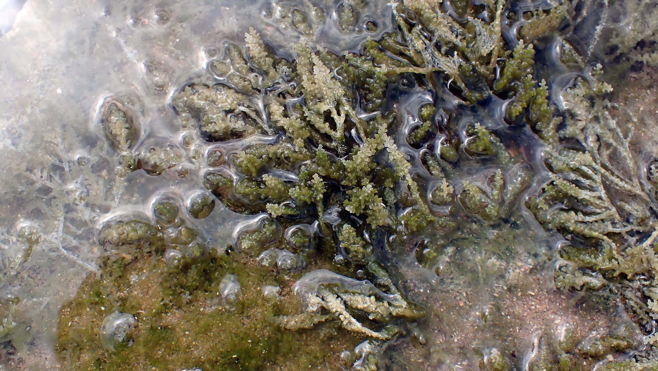
 2025 #754 |
 2025 #757 Acathophora sp (Red Alga), plants partially bleached perhaps due to exposue on extreme low tide, or to prolonged cover by Sarfassum weed in recent past. View iNaturalist record |
 2025 #760 Towards outer intertidal flat extending subtidally, Sargassum (an attached sp. not the floating Sargassum weed) |
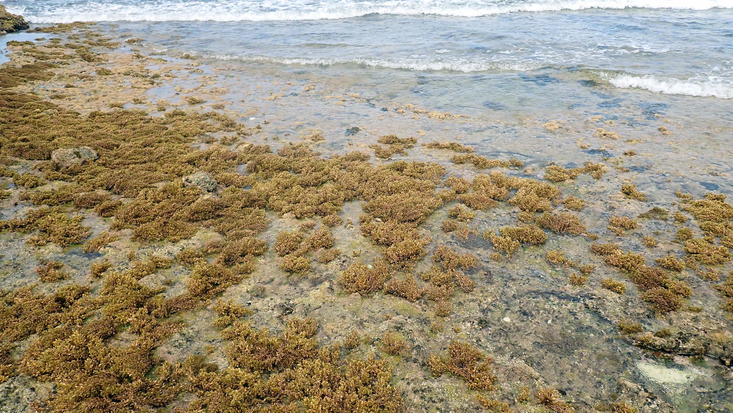 2025 #761 Closer up |
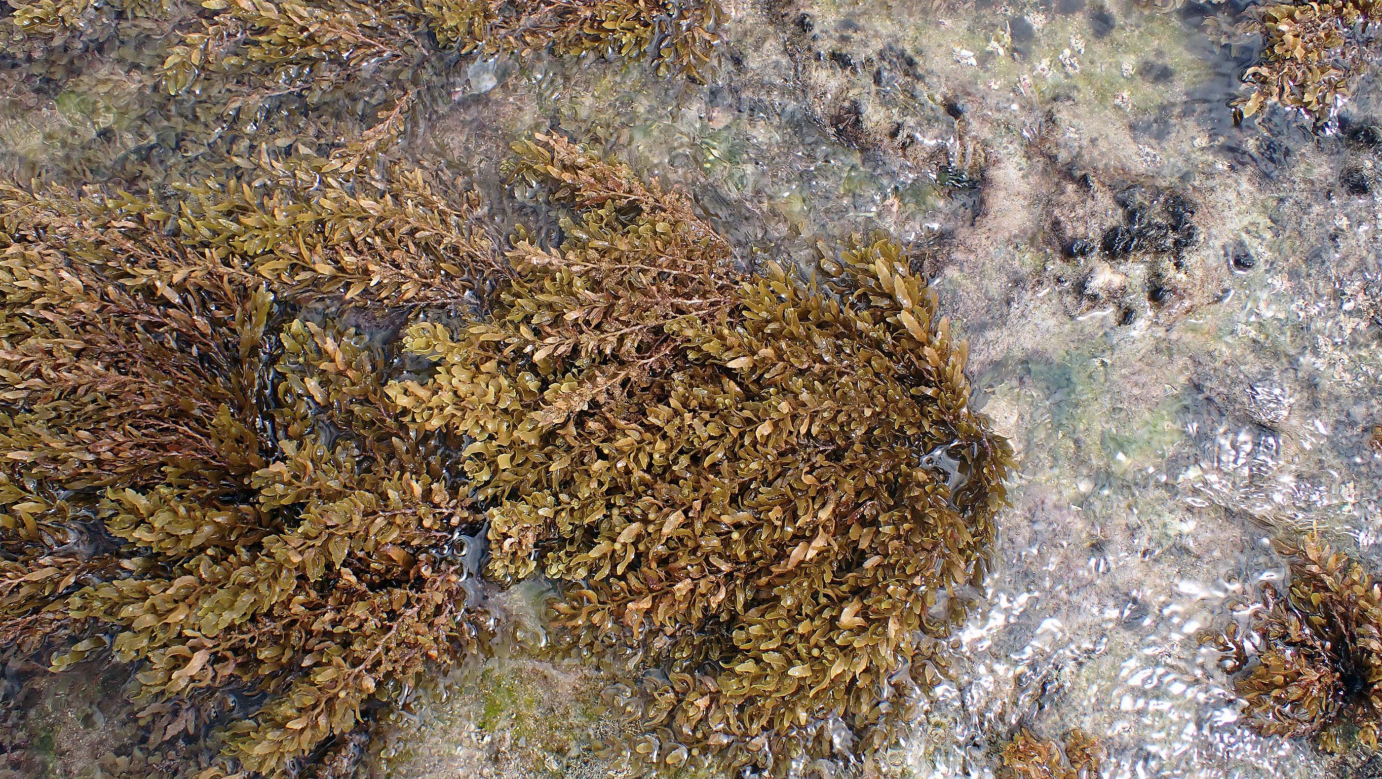 2025 #764 The attached Sargassum. View iNaturalist record |
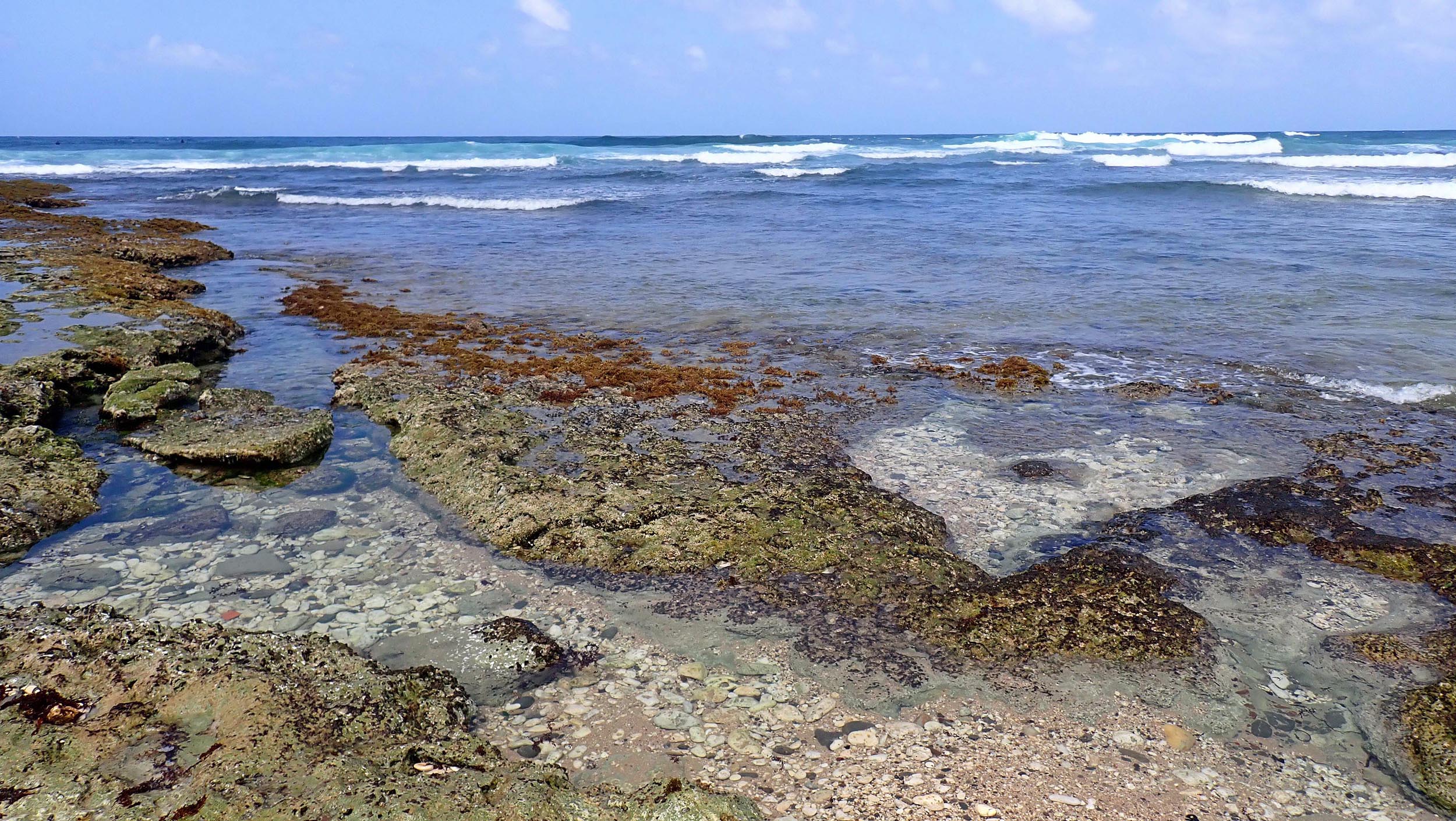
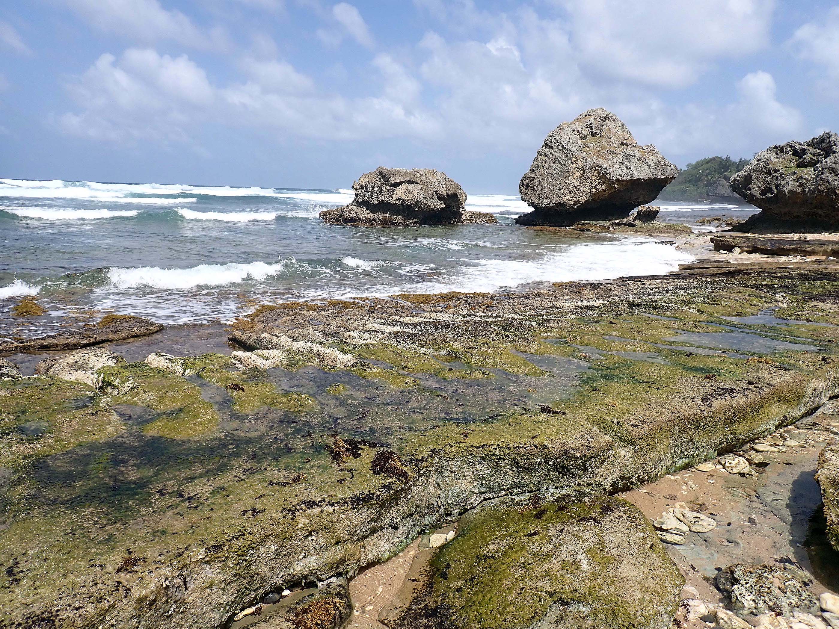 2025 #782 a little southeast & closer to shore, : this appears to be classic “Beachrock” |
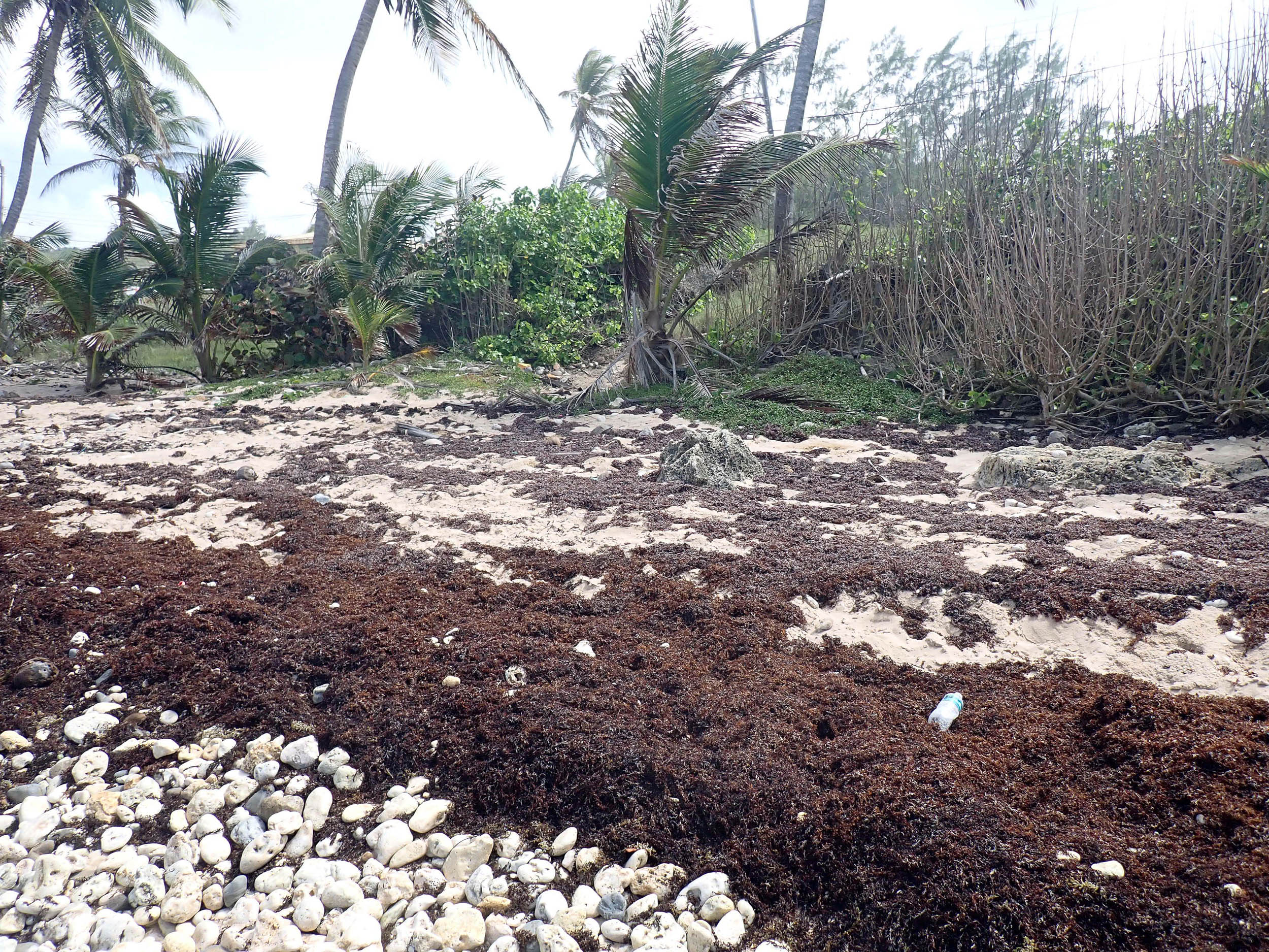 2025 #784 Aggregations of Sargassum weed on beach, from recent influx. (There was very little of it in open water on Mar 21) |
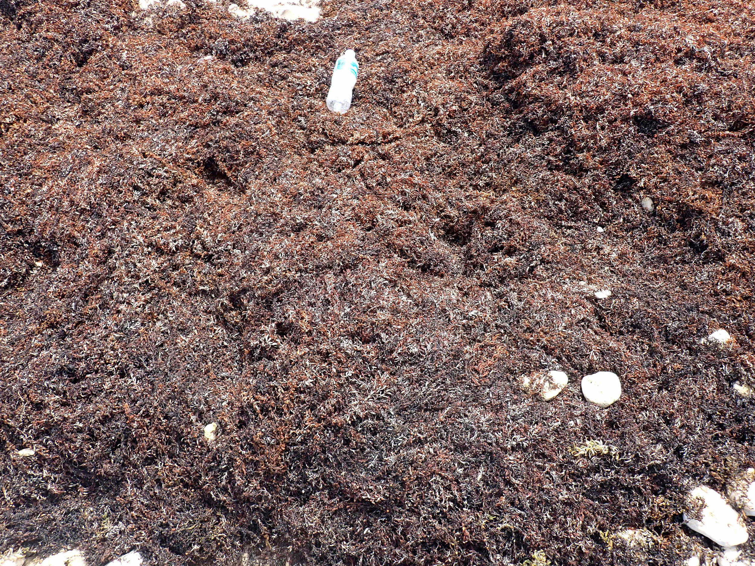 2025 #785 Partially decomposed Sargassum weed on beach, |