
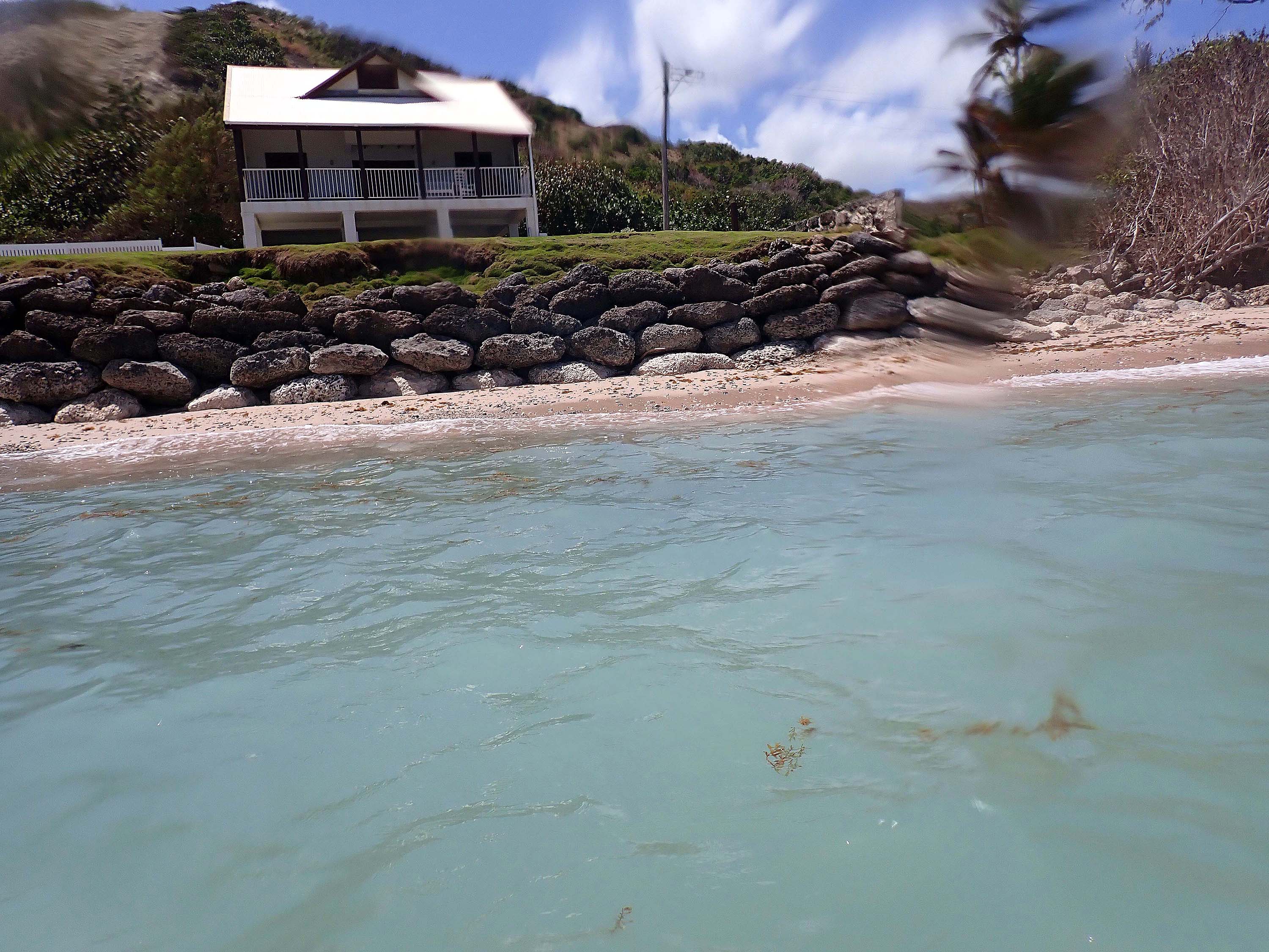
| NAVIGATION This page is a sub-page Historical Imagery, that in turn a subpage of ObsBath, a top-level page on the website Barbados Fringing Reefs and Seagrass Beds (www.versicolor.ca/barbados). Go to ObsBath for a list of other subpages in this section of the website. 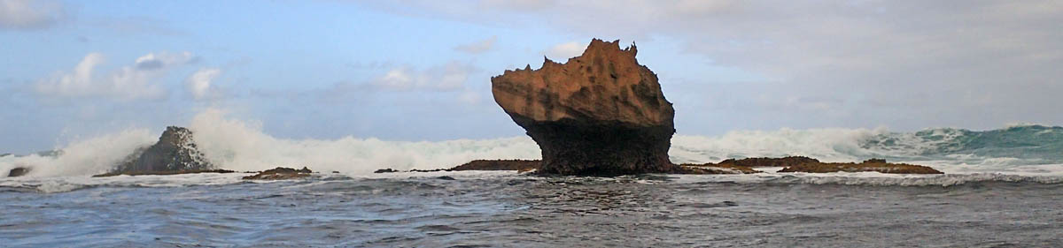 “Huge boulders of Pleistocene limestone, the work of long dead corals, take a battering in the breaker zone”. |
Subpages of Historical Imagery – Bath 1968-70 – Bath 1994 – Bath 2005 – Bath 2011-i – Bath 2011-ii – Bath 2015-i – Bath 2015-ii – Bath 2015-iii – Bath 2017 – Bath 2024/5 (This Page) |
DRAFTING….
THE INITIAL SHOCK: MASSIVE DISRUPTION OF THE SEAGRASS BEDS
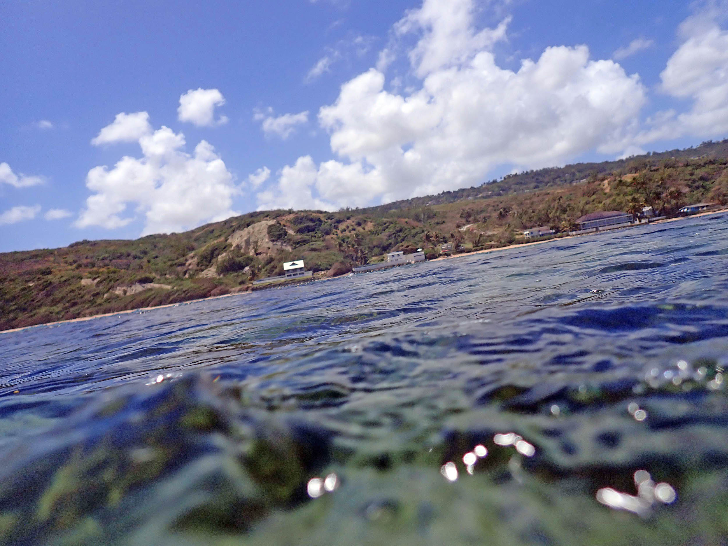
My one day visit to Bath in 2024 and another in 2025 were a shock. Over the entire area and even north past Bath Beach Park, I encountered no more than a dozen small patches of Turtle Grass (Thalassia testudinum plants, those barely hanging on. There were massive loose beds of Porites rubble supporting next to nothing.
The thick assemblages of Avrainvillea rawsonii* on Cobble Framework and Cobble-Sand substrates** , still present in 2015, had largely disappeared, leaving loose rubble between A. nigricans* plants, those looking raggedy and many with heavy epiphyte cover. A. rawsonii cover of rock faces remained high but appeared heavily epiphytized.Specimens of the various Caulerpa spp were much fewer than in the past, and also appeared “raggedy”
* Field identified “A. rawsonii could include A. rawsonii and/or A. digitata (both finger to club shaped blades interwoven/in mats). Field identified A. nigricans could include A. nigricans and/or A. longicaulis and possibly any one or more of 6 other species of Avrainvillea in the West Indies with stipes and paddle- or fan-shaped blades and occurring in the Lesser Antilles – see Species Groups (page on this website). ** see Substrate Types (page on this website) for classification of seagrass Substrate Types.
There were still vibrant appearing Porites furcata corals on solid rock bottom, but not on rubble bottom.
Over much of the area where seagrass & Avrainvillea spp once stabilized an accumulation of sediment, but that is now eroded, the green alga Boergesenia forbesii is abundant – I first noted the species at Bath in 2017, one specimen, now it is very common. It’s an exotic species, apparently a recent immigrant to Barbados – see Boergesenia forbesii, a recent immigrant to Barbados? (Post on this website Mar 26, 2025).
It appears that seagrass beds have been eliminated from the Bath area, and even simple occurrences of the species T. testudinum, S. filiforme and H. wrightii at Bath are likely in their last days. (H. wrightii was “never” – back to 1969 – common).
In 2015 when I formally surveyed the Bath seagrass beds, the beds themselves were largely intact but the T. testudinum and the fewer S. filiforme plants were much sparser and smaller than in earlier years and there was a lot of exposure of rhizomes; Avrainvillea nigricans and A rawsonii were more abundant, a long term trend seen first 1969 to 1994, (1969 and 1994 were 2 of the 3 formal survey years, the 3rd was 2015).
My hypothesis/explanation* of that trend was that it is driven by positive feedback between sediment-stabilizing flora and sediment stability:
| Hypothesized successional process at Bath driven by positive feedback between sediment-stabilizing flora and sediment stability
1. Loose Sediment—> Each stage has more physical stability/resistance to wave action and the beds build upwards to or towards new, shallower equilibrium levels. Strong localized wave disturbance can cause formation of “Blowouts” in stages 3 to 7 at intervals of 5-15 years, and disturbances initiated by overgrazing by sea urchins at intervals > 15 years setting the sequence back to stage 1 resulting in a mosaic of stands at different stages of succession. View Successional Processes in Seagrass Beds for more details. Rock-like Coral Rubble Flats (stage 8) are exposed on the lowest (spring) tides. The transition from stage 7 to 8 is suggested by some degree of cementation of some Avrainvillea dominated stands at circa 1-20 cm below the lowest (spring tide) low water level. However formal measurements of substrate stability/binding/cementation were not conducted; profiles though Coral Rubble Flats would also be required to provide evidence of the suggested successional sequence.
|
So in 2015, I anticipated that the seagrasses would continue to decline, to be squeezed out by the Avarainvillea spp, but the raised beds themselves would remain even with increased levels of wave disturbance.
Hence the shock in 2024/2025. Most of the raised beds had been completely overturned. A rawsonii was much less abundant, and only a few small remnants of seagrasses remained. Clearly the overall level of wave action and periodic storm disturbances had increased; I attribute that to the well documented trends of increase in storm activity in the Caribbean, and locally to erosion and toppling of some of the emergent rocks in The Platform area, and to hard-scaping of much of the shoreline at Bath.
However, I hypothesize that the critical factor in the decline of the raised seagrass/Avrainvillea beds 2015 to 2024/2025 was the seasonal influxes of masses of Sargassum weed (they began circa 2011), that the masses of Sargassum weed blocked the light sufficiently to set back A. rawsonii in particular. Release of toxins by decomposing Sargassum weed and some eutrophication caused by release of nutrients could also be involved, causing planktonic algal blooms and reduced transparency and contributing to over-growths by fine-sediment-trapping turf and epiphytic algae.
Regardless of the hypotheses, possible reasons, one thing is clear from just the informal observations (re: photos 1968-70 to 2025): the once thriving seagrass beds at Bath are no more.
2024 pics
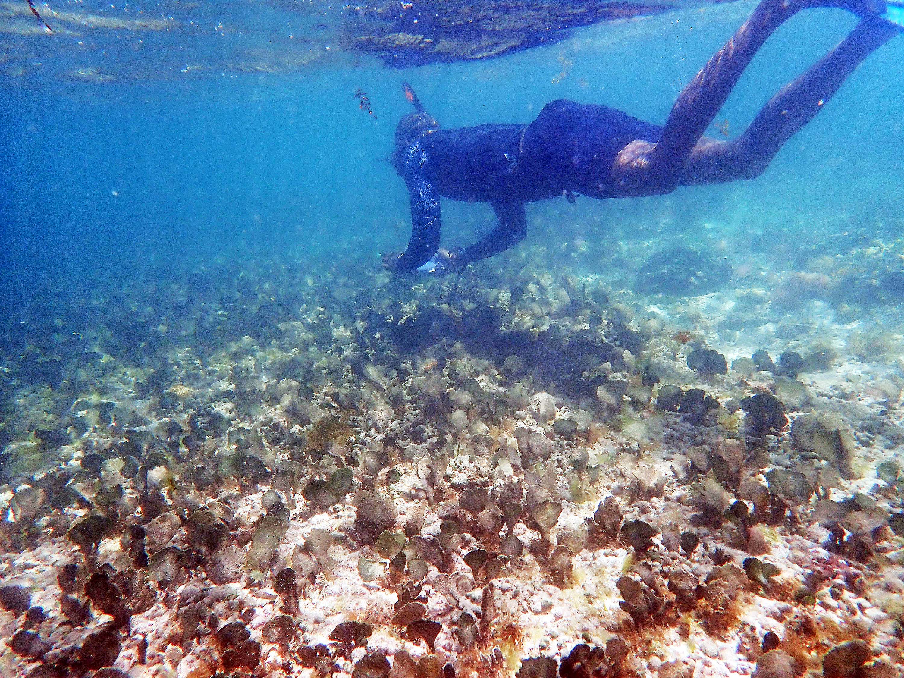
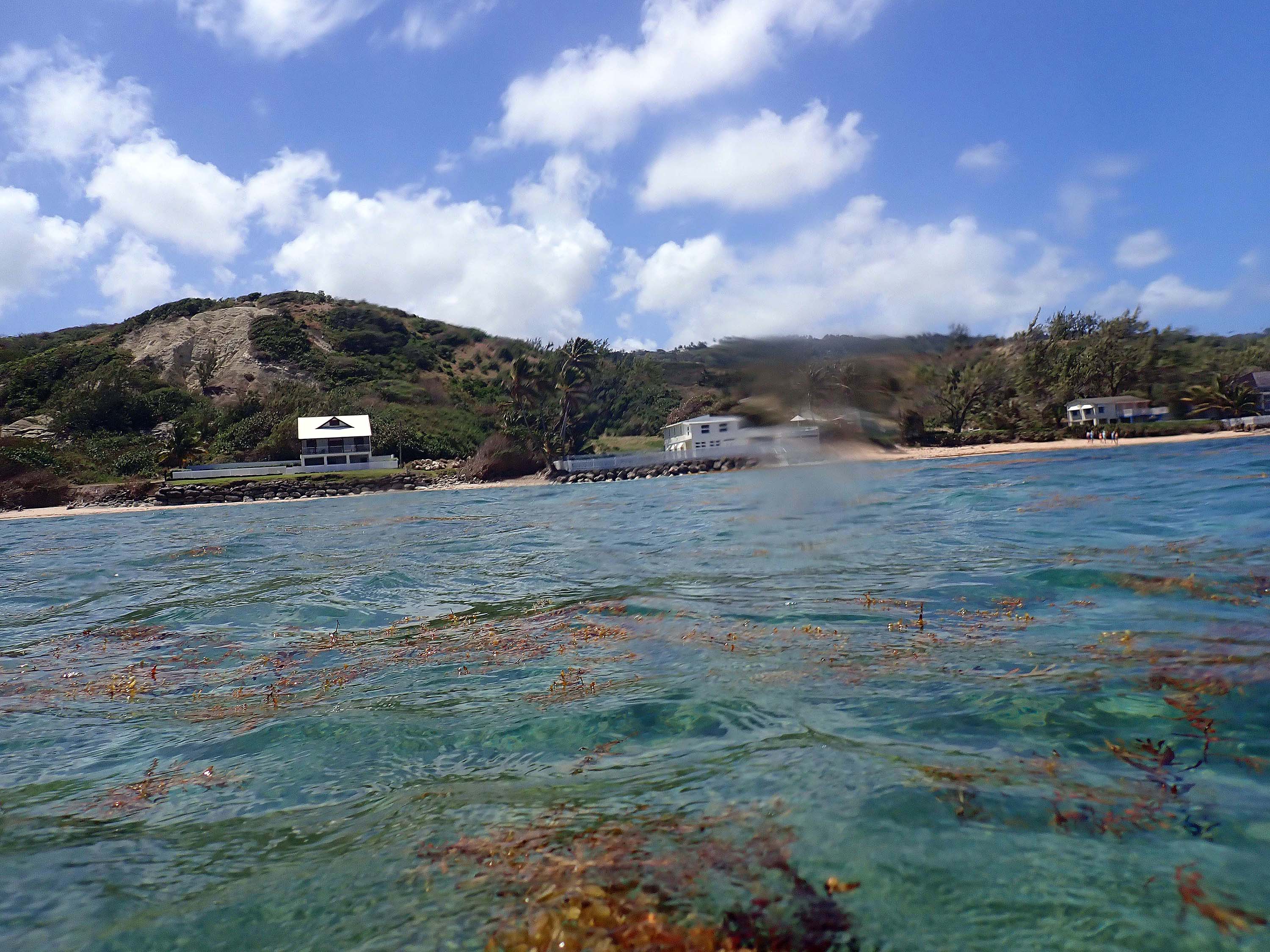
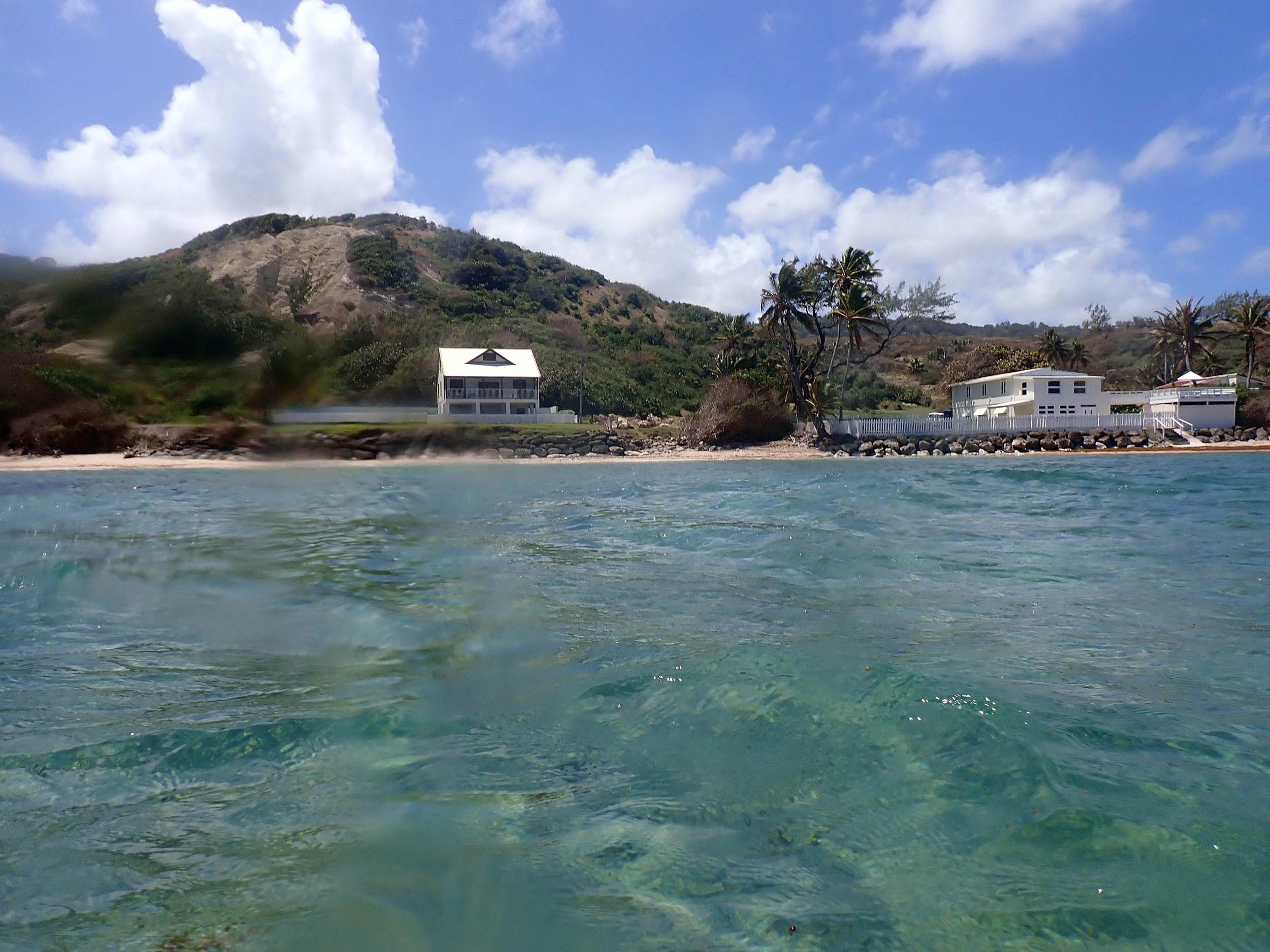
Photos were taken on Mar 28, 2024. Special Thanks to Elon Cadogan/CORALL for facilitating the visit.
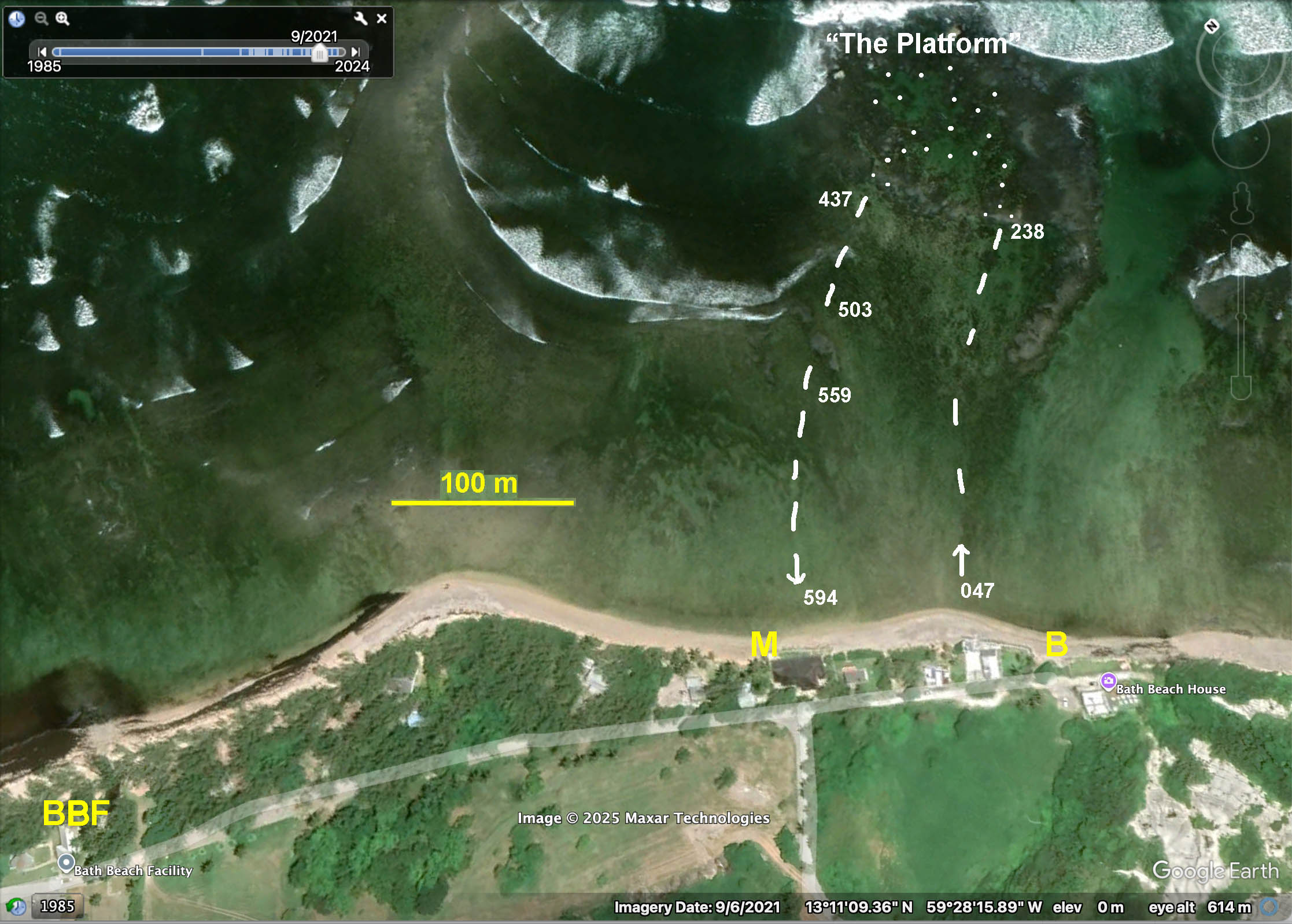
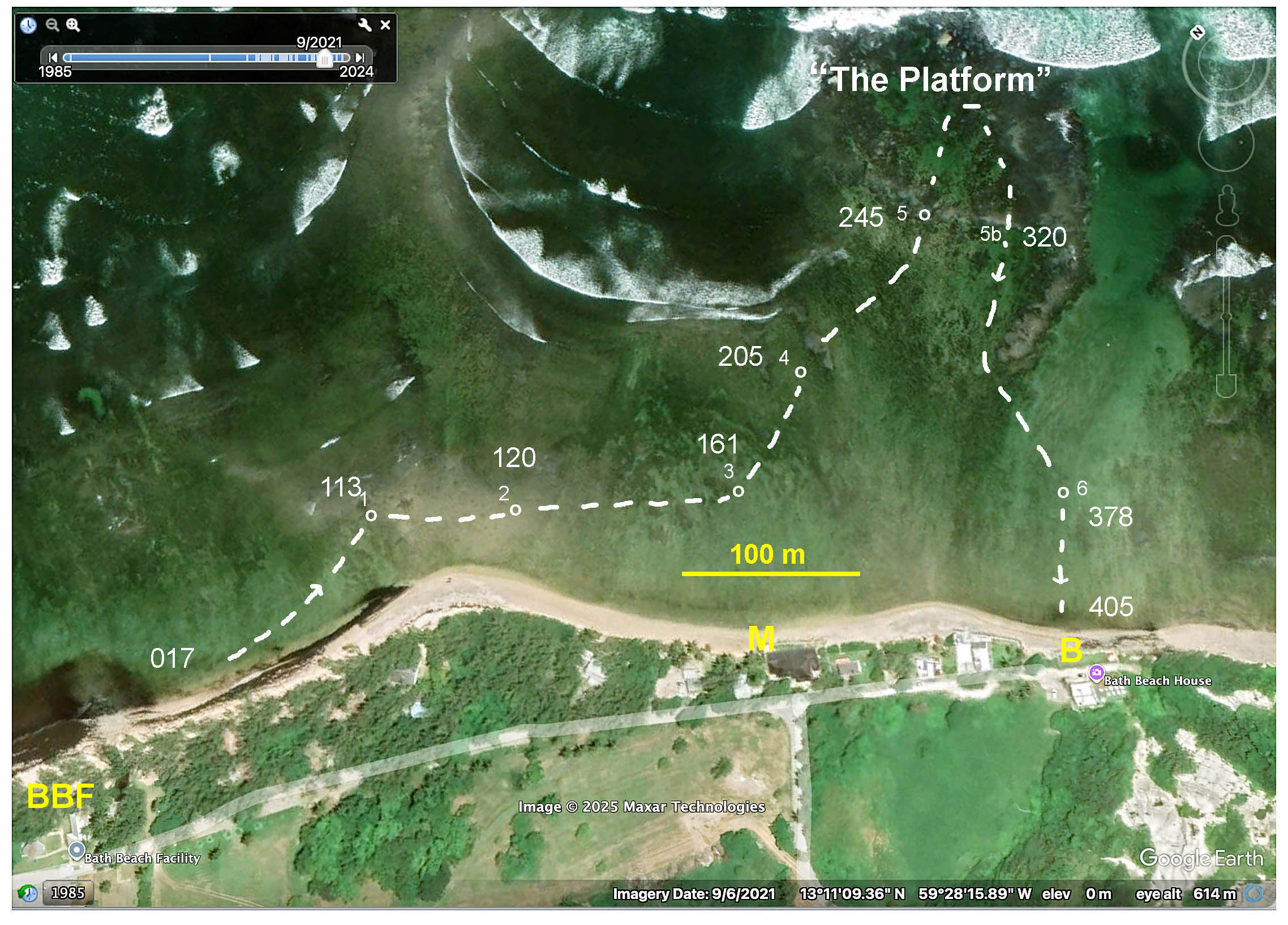
Google Earth Map of Bath area, showing approx. route of photo-survey in 2024. 3-digit nos are the last 3 digits of the photo file names. BBF: Bath Beach Facility; M: Landward end of Main Transect in 1968/9; B: Basecamp in 1968/9. Dotted area at top is within the lagoon of The Platform – see Bath Corals 28Mar2024 and 1Mar2015 for photos within in the lagoon. (The main objective of this survey was to examine corals within the lagoon for presence of SCTLD, rampant on the west coast of Barbados; none was observed at Bath.)
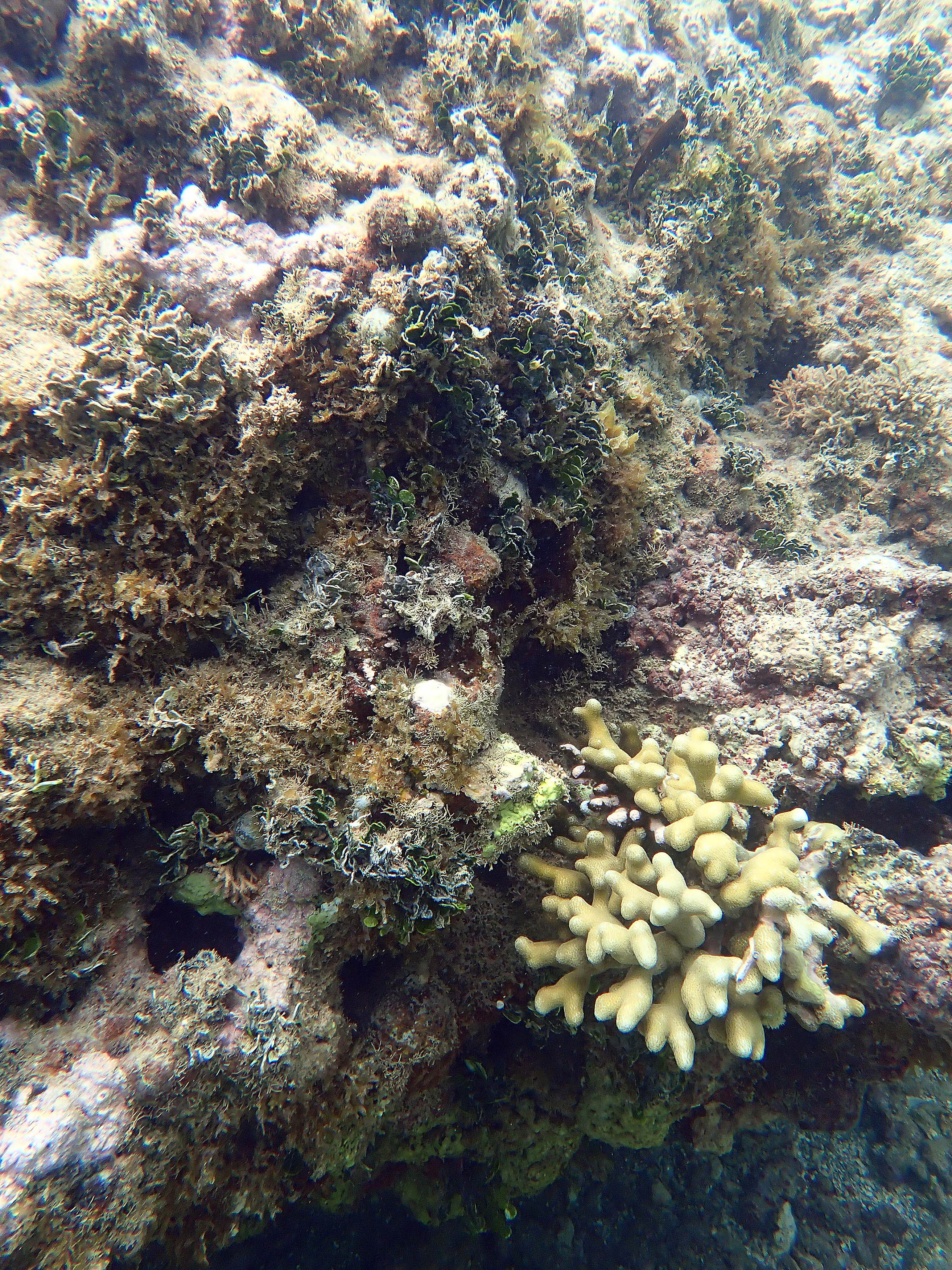
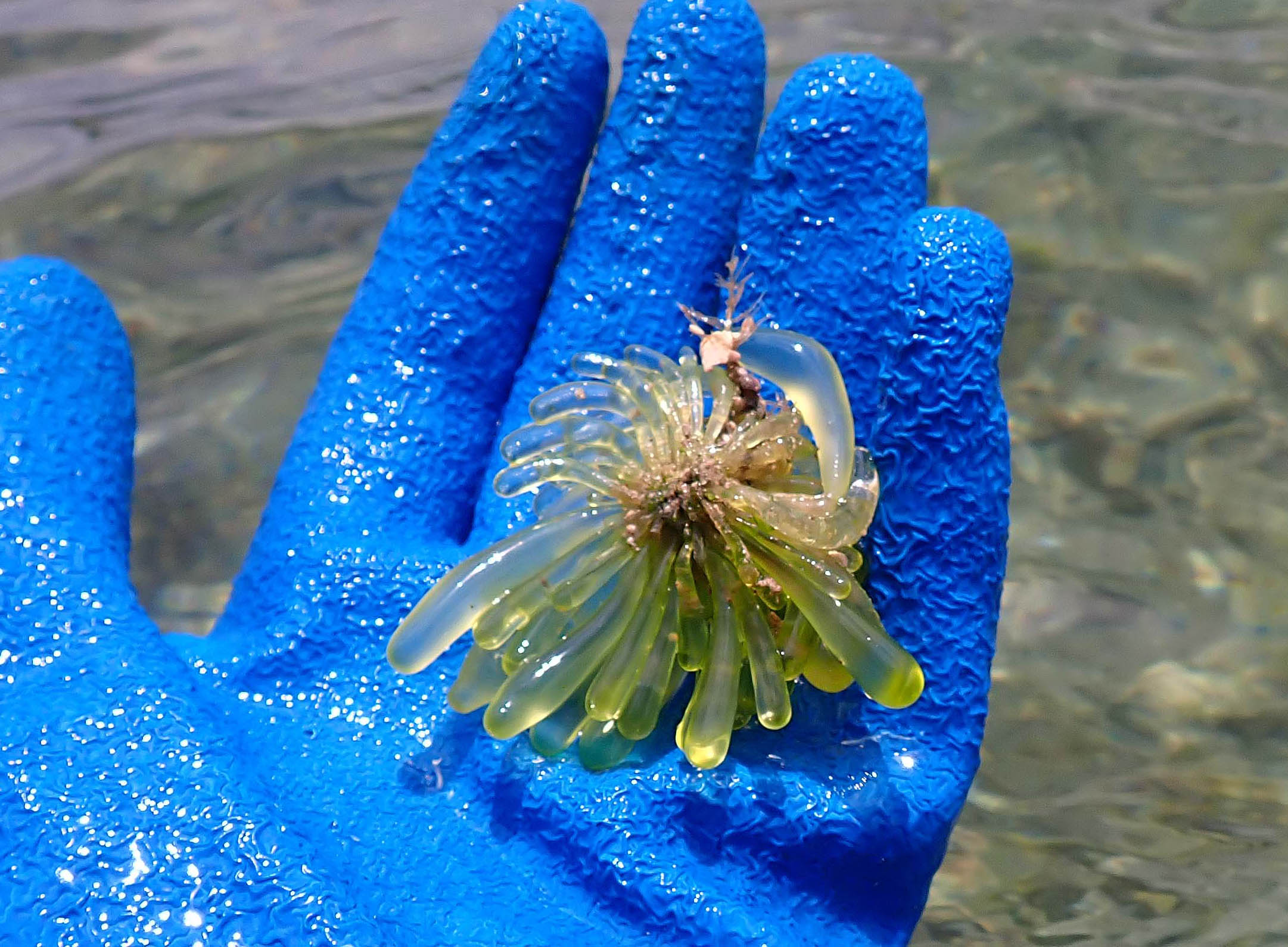
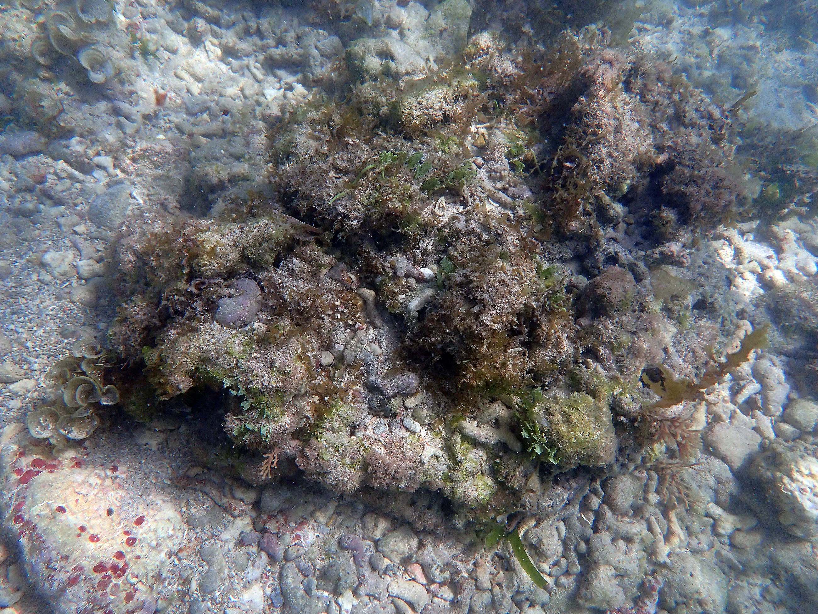
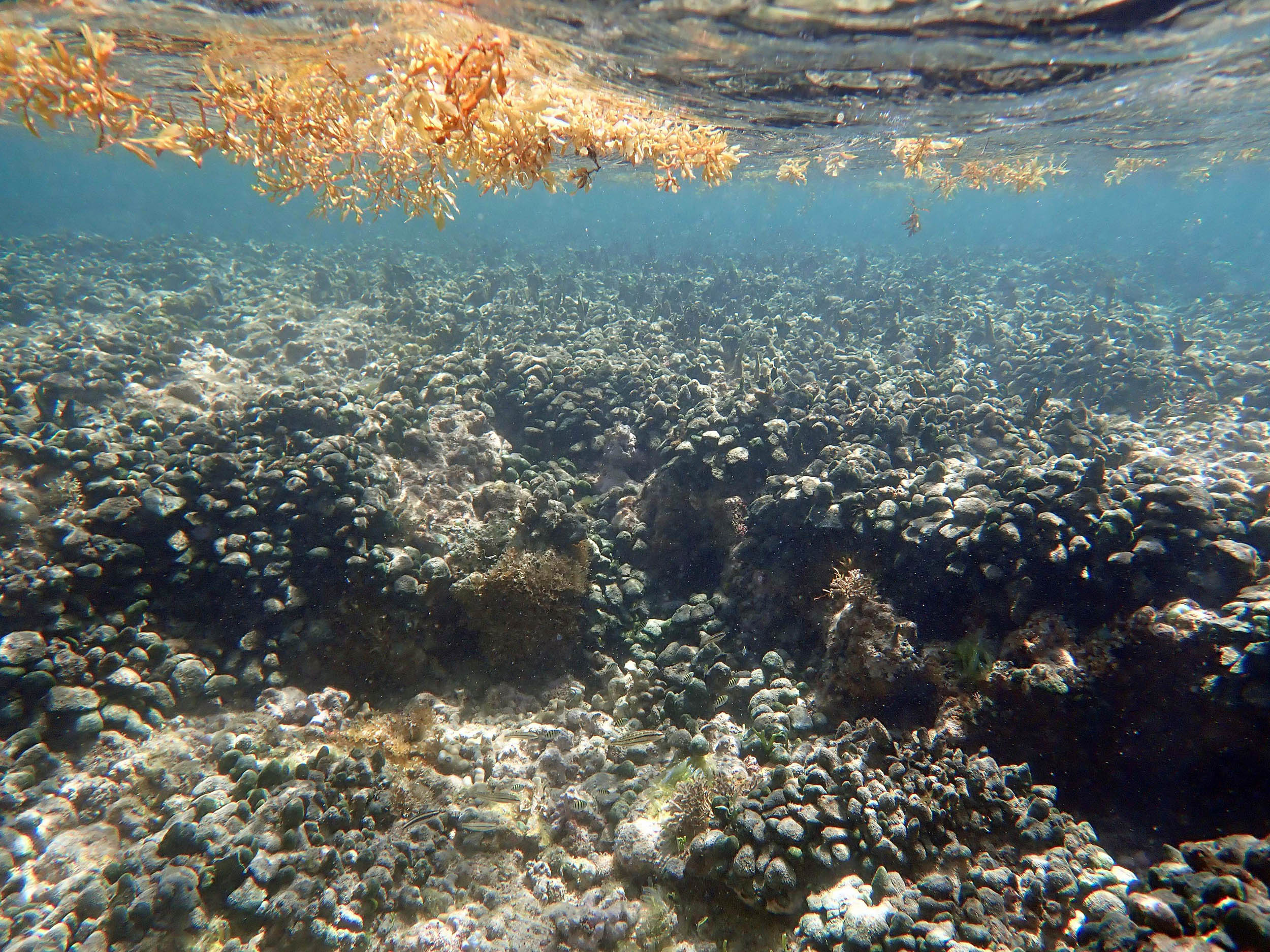
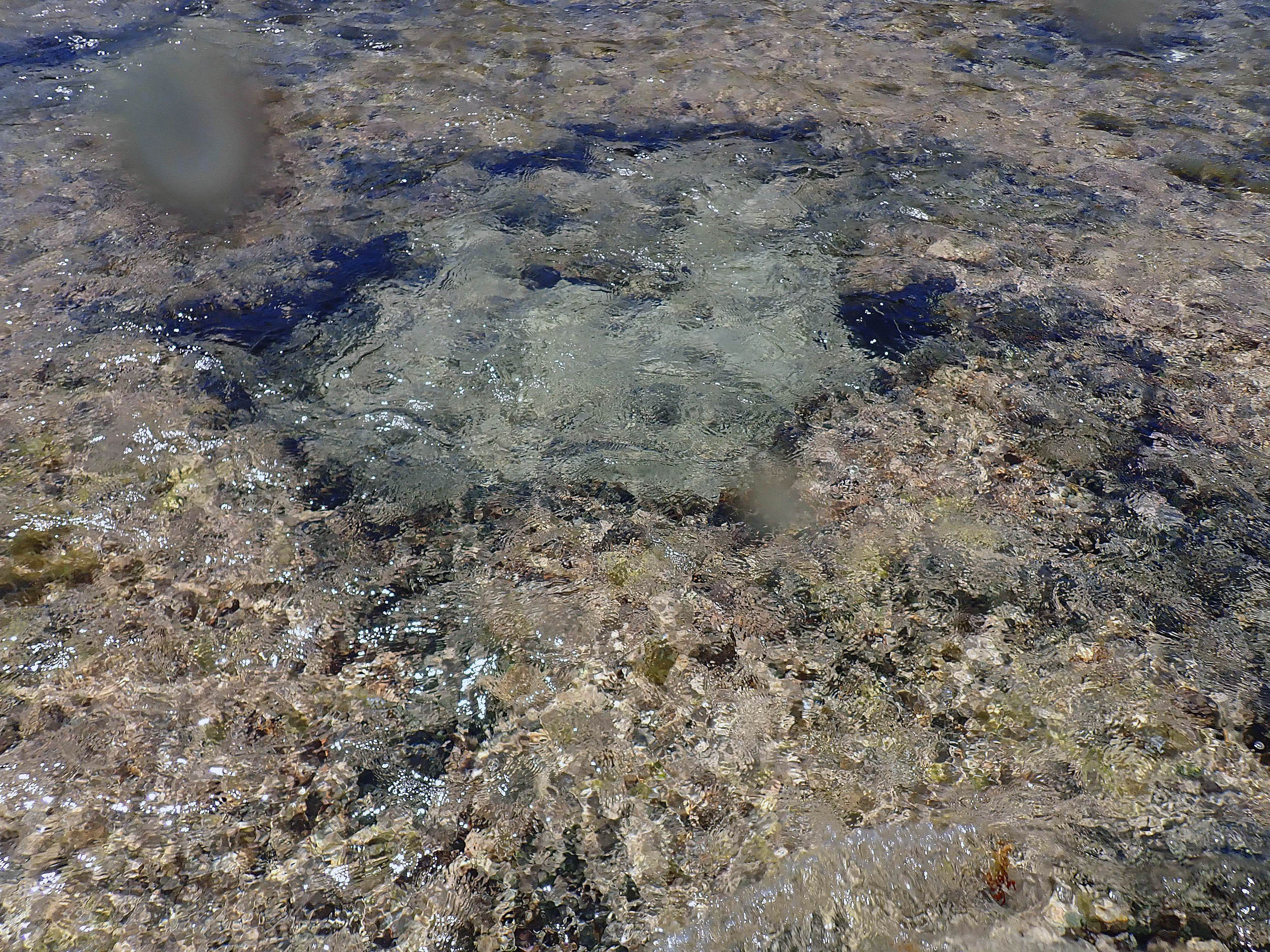
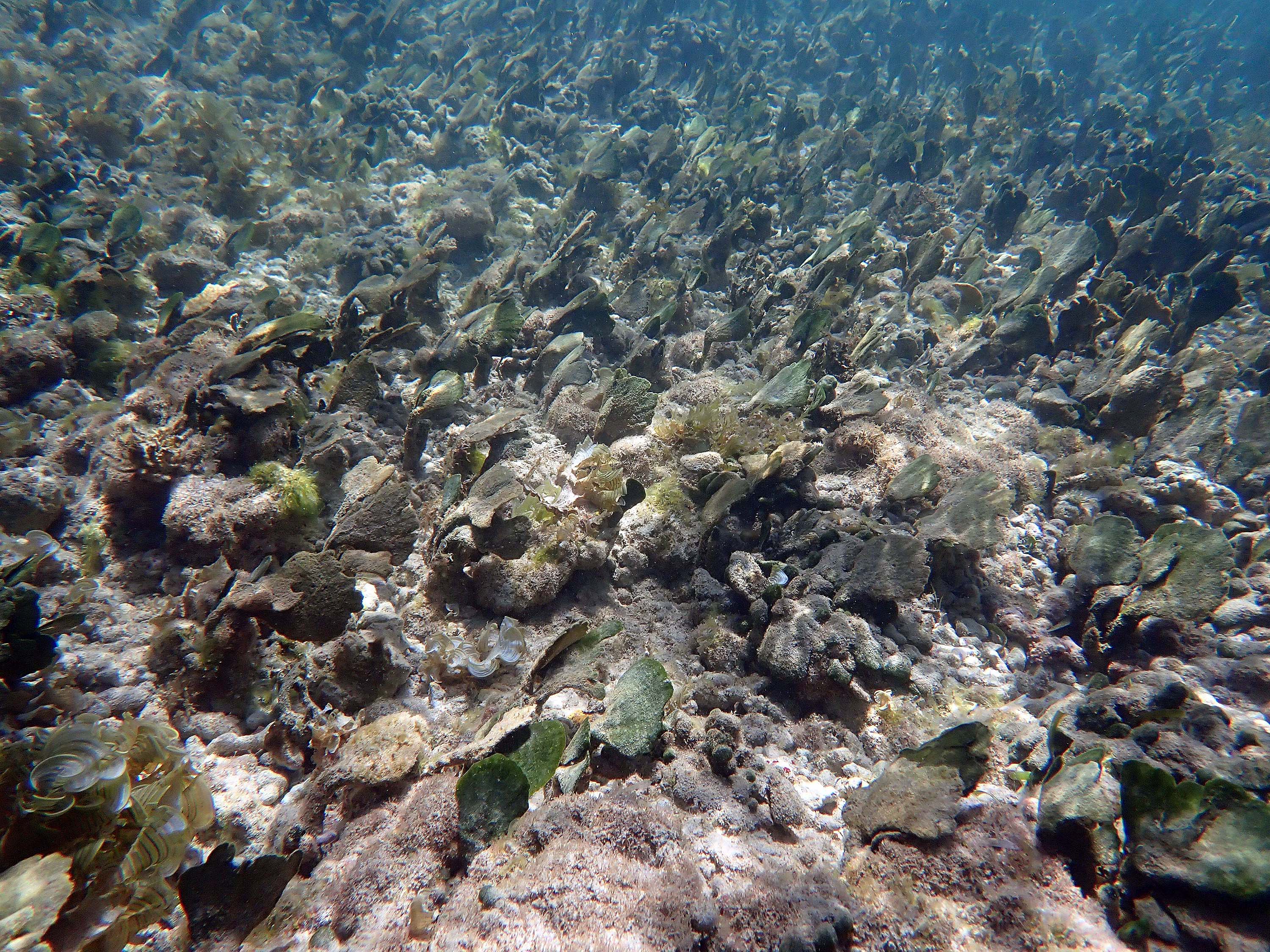
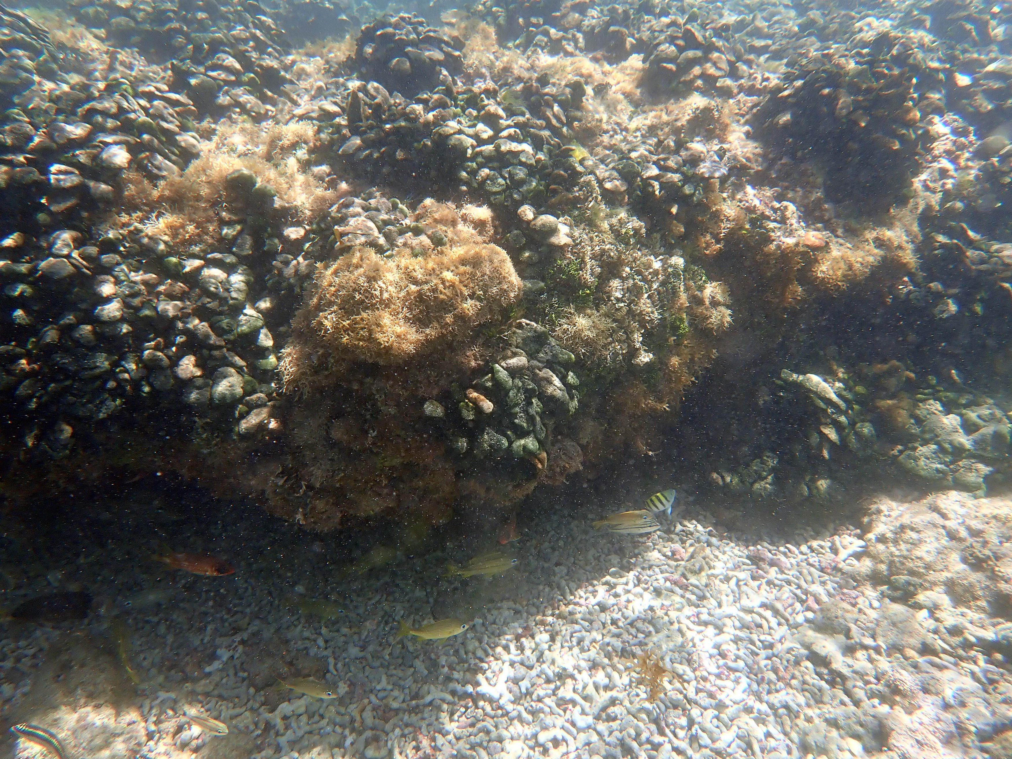
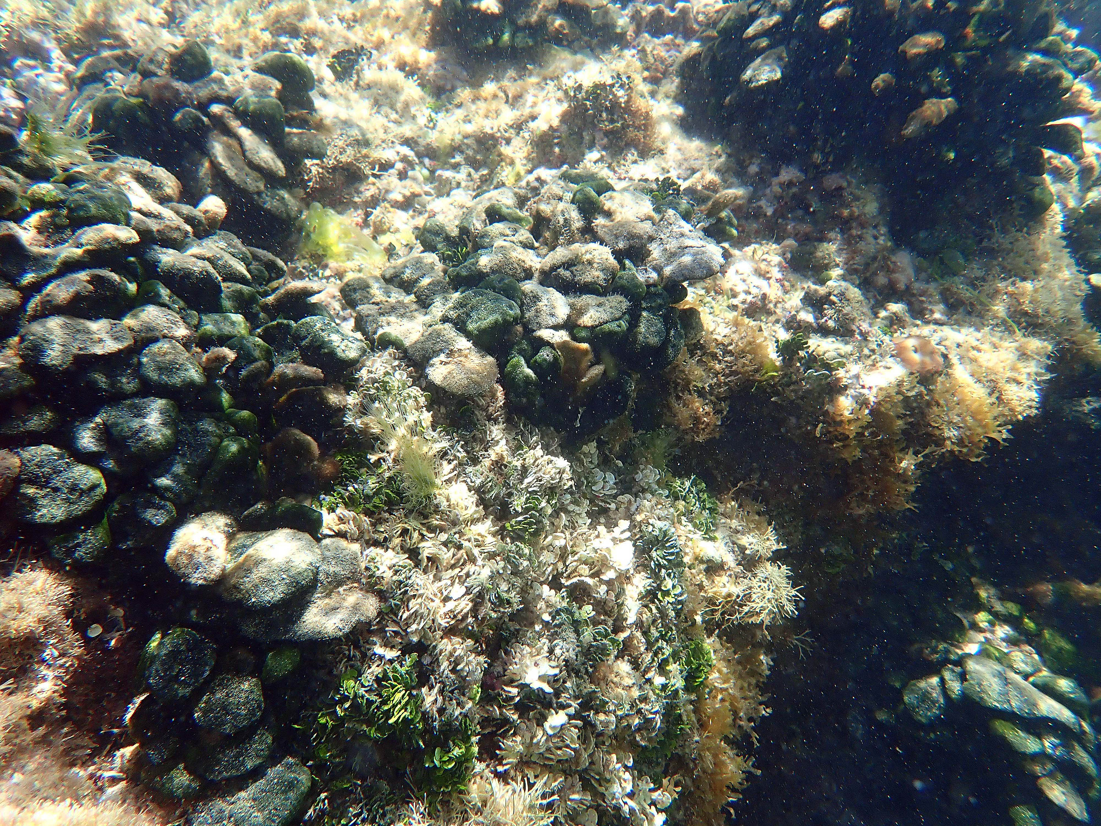
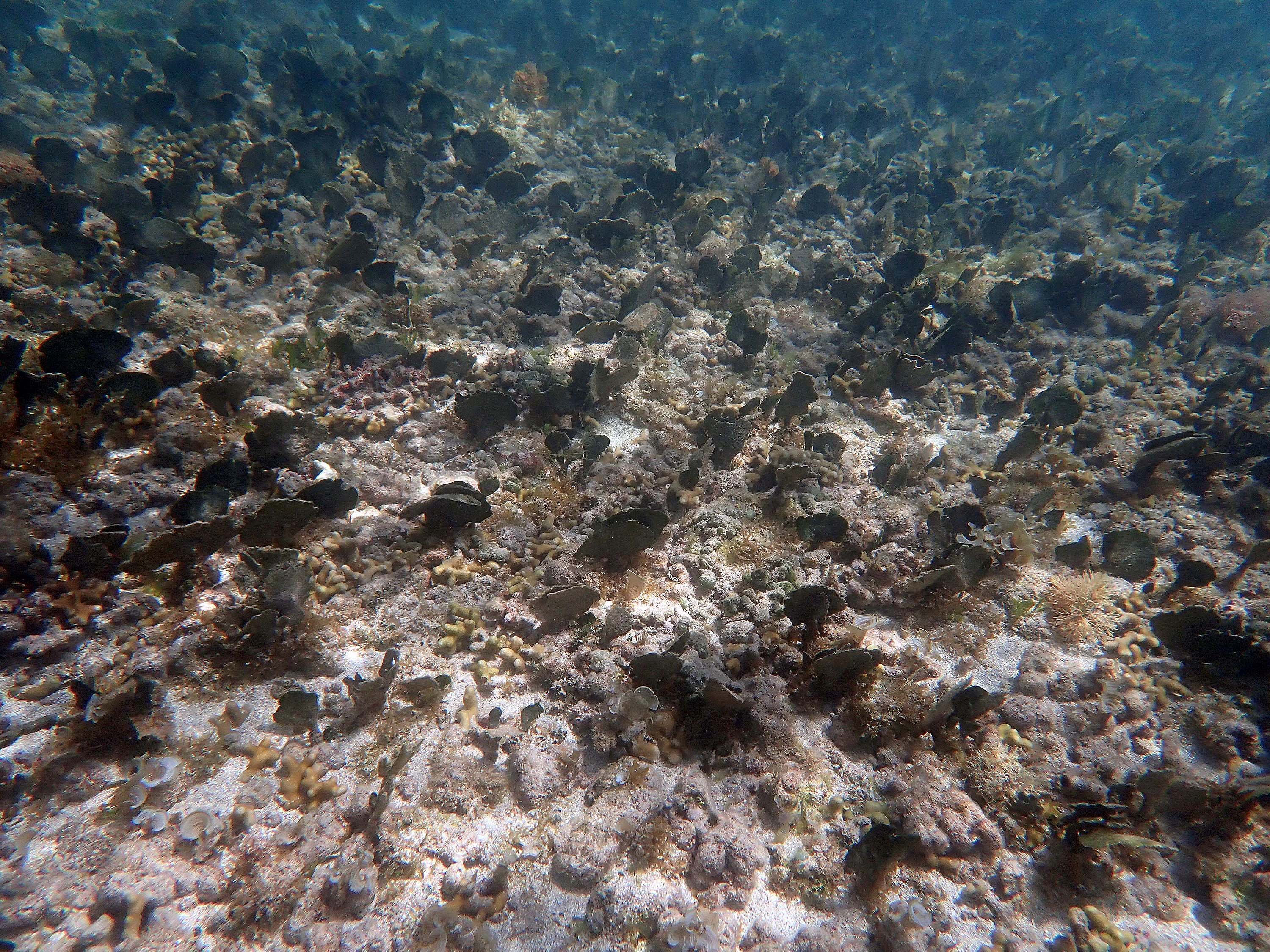
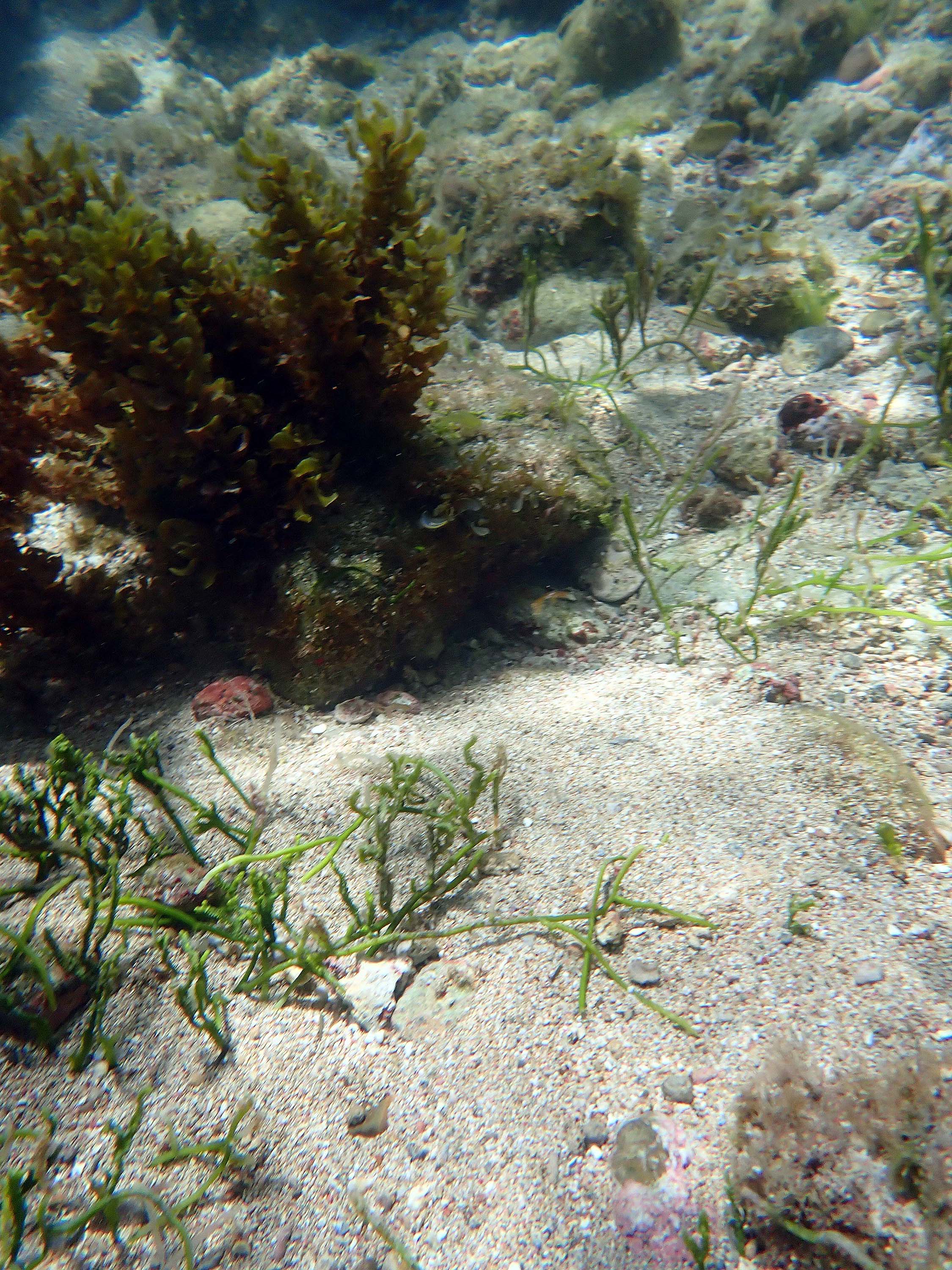
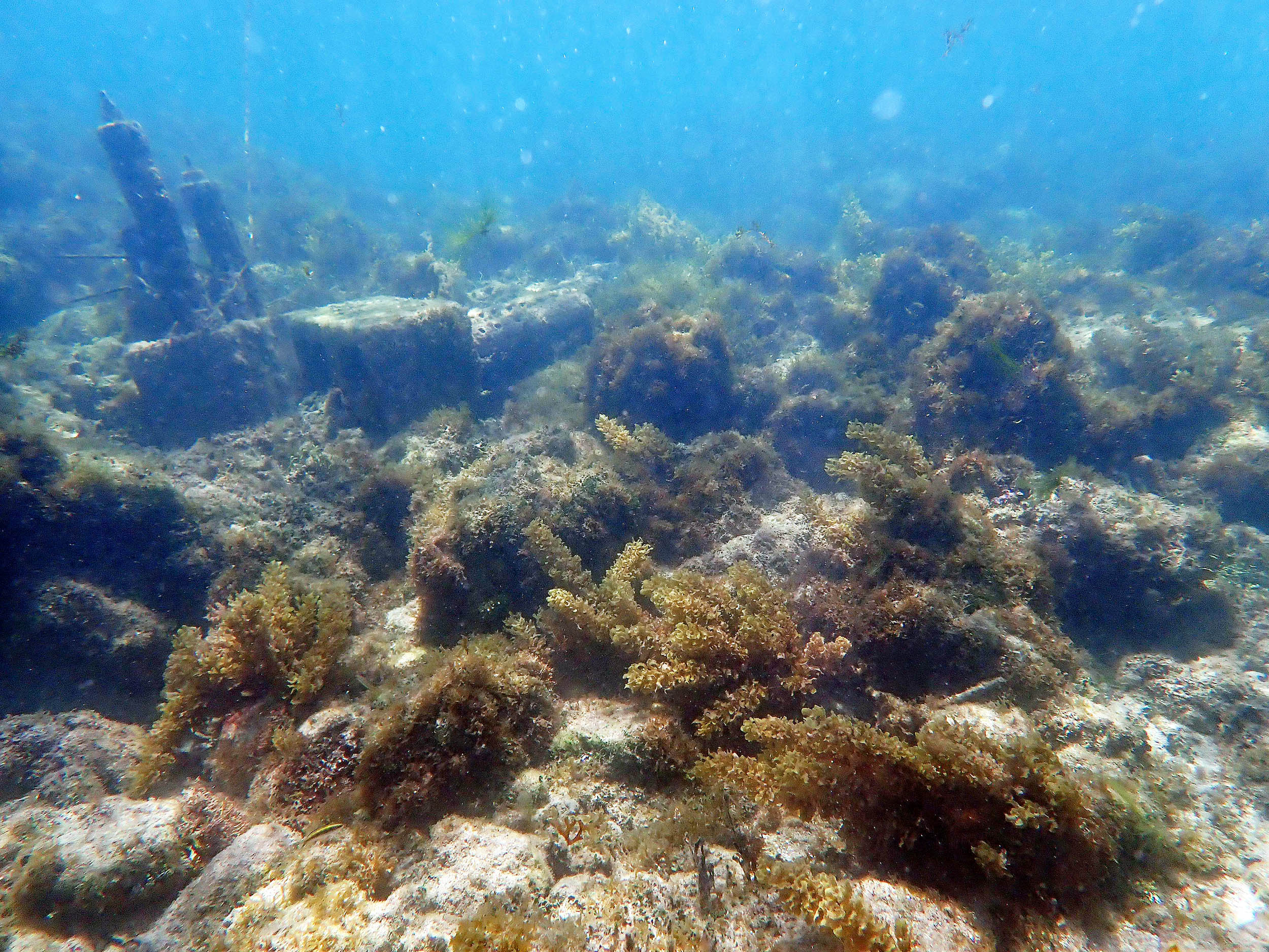
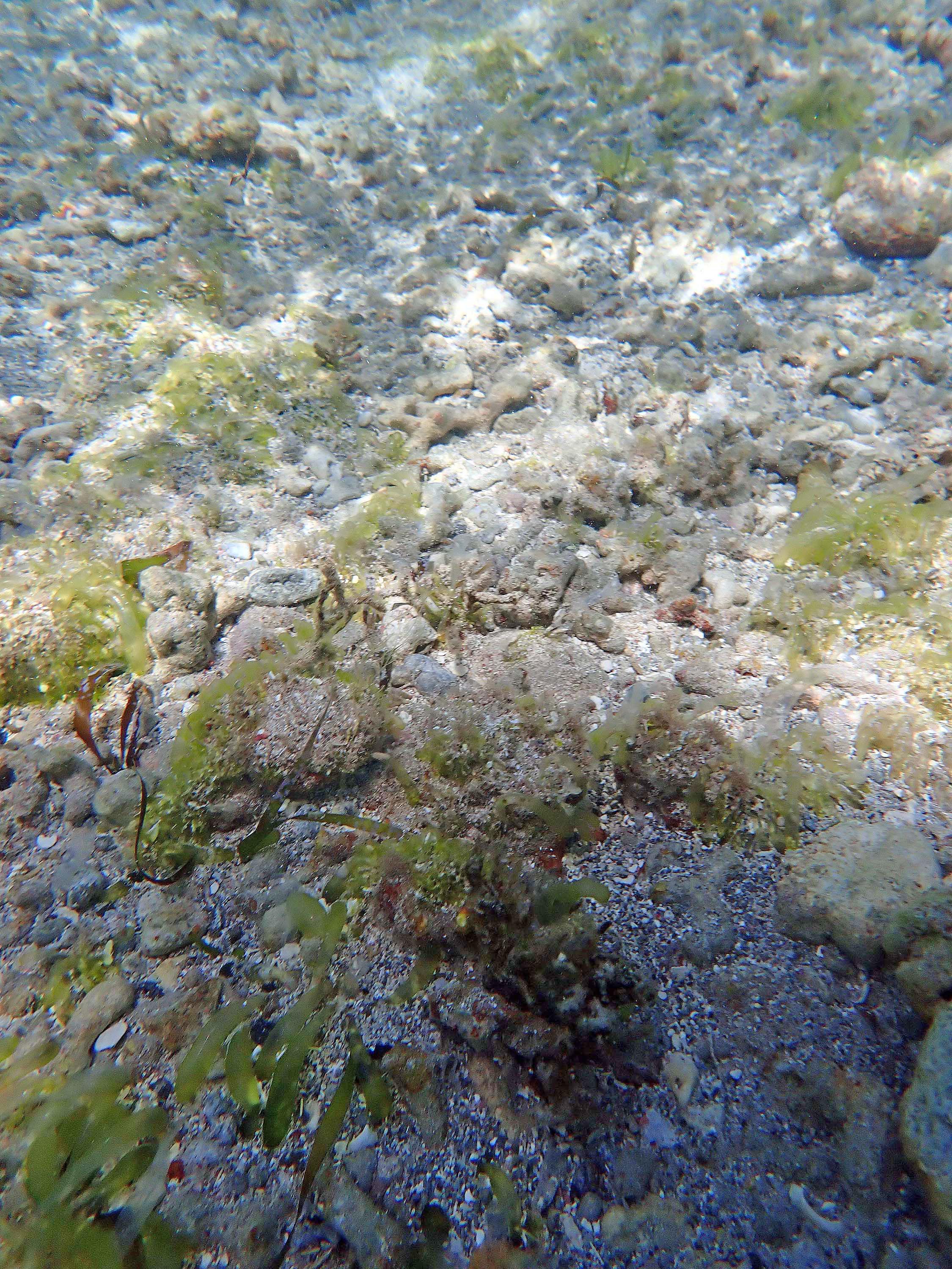
 2024 – #097. Towards the upper part of photo, A. nigricans and A. Rawsonii , some accumulation of coarse sediment; lower 2/3 of photo, coarse sediment eroded, note heavy growth of turf algae on rubble, Boergesenia forbesii , Caulerpa sp. |
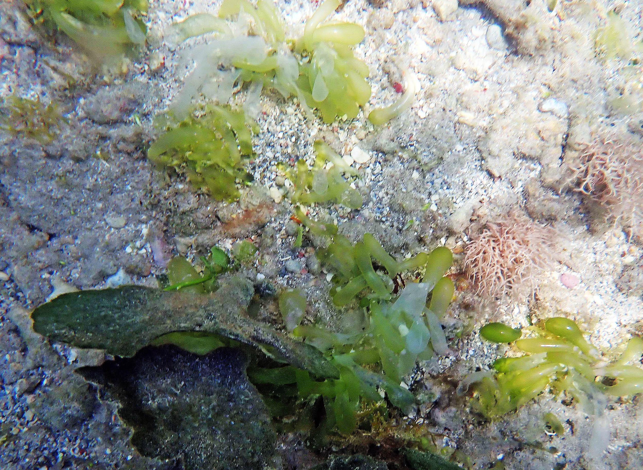
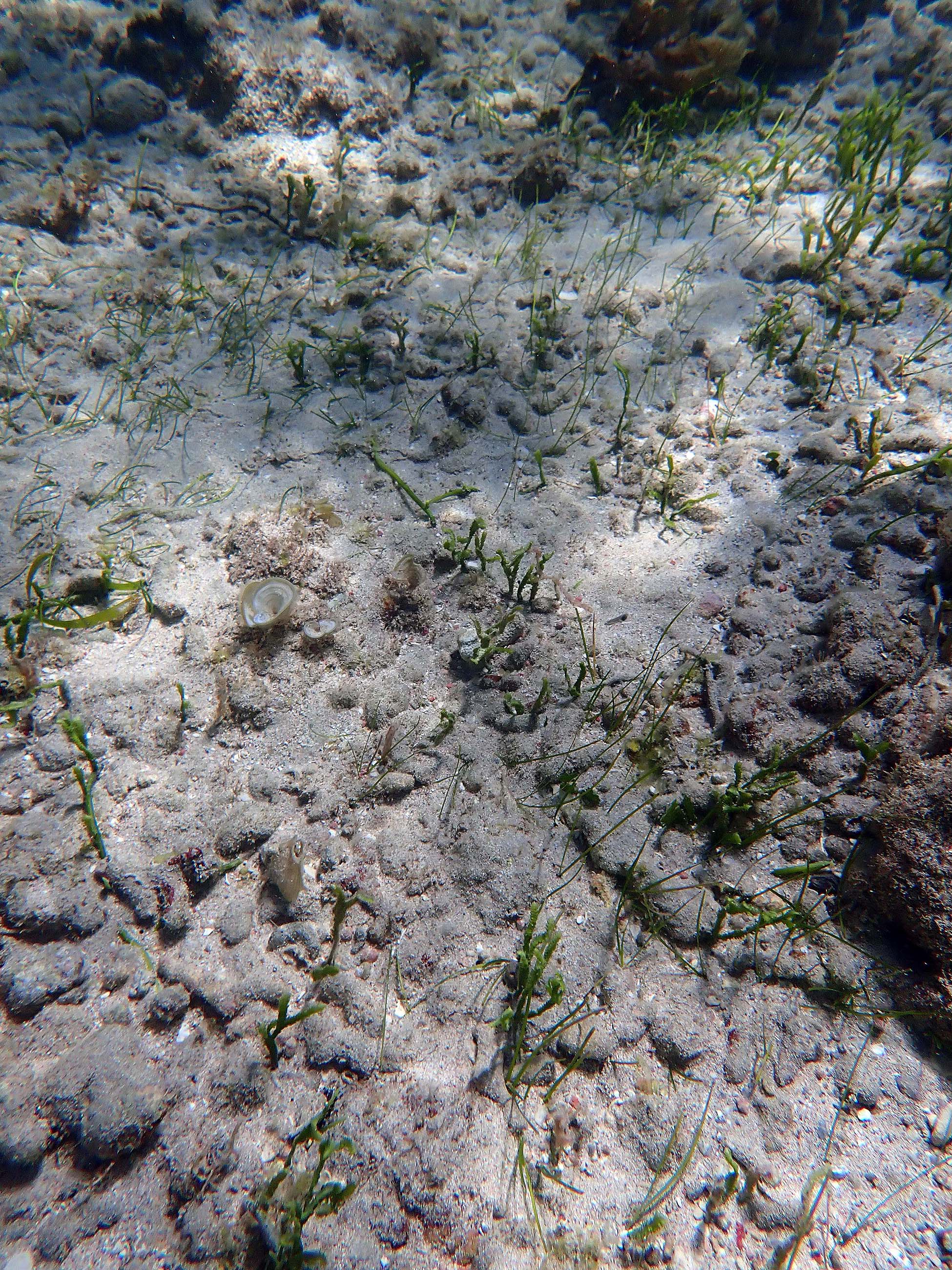
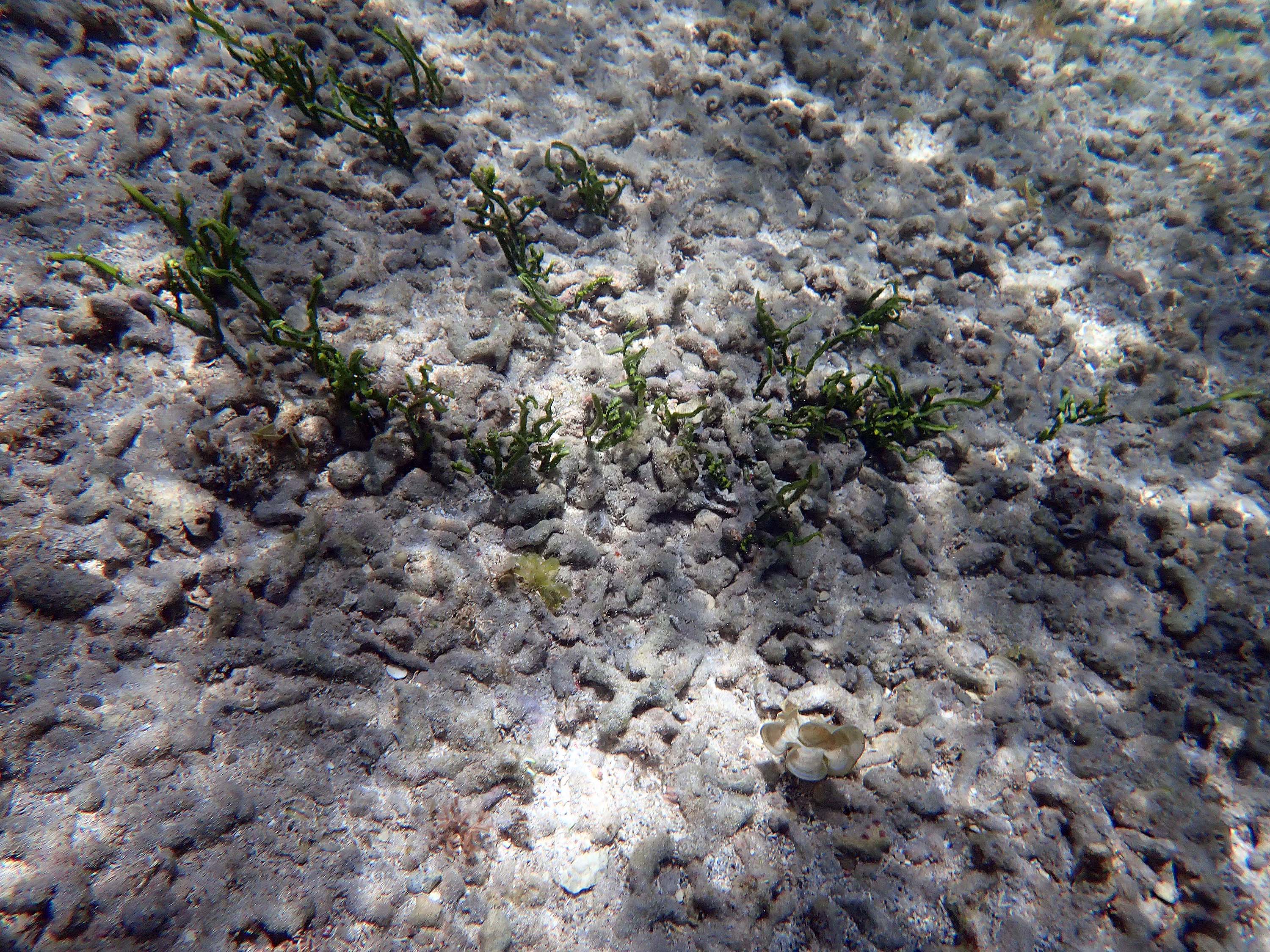
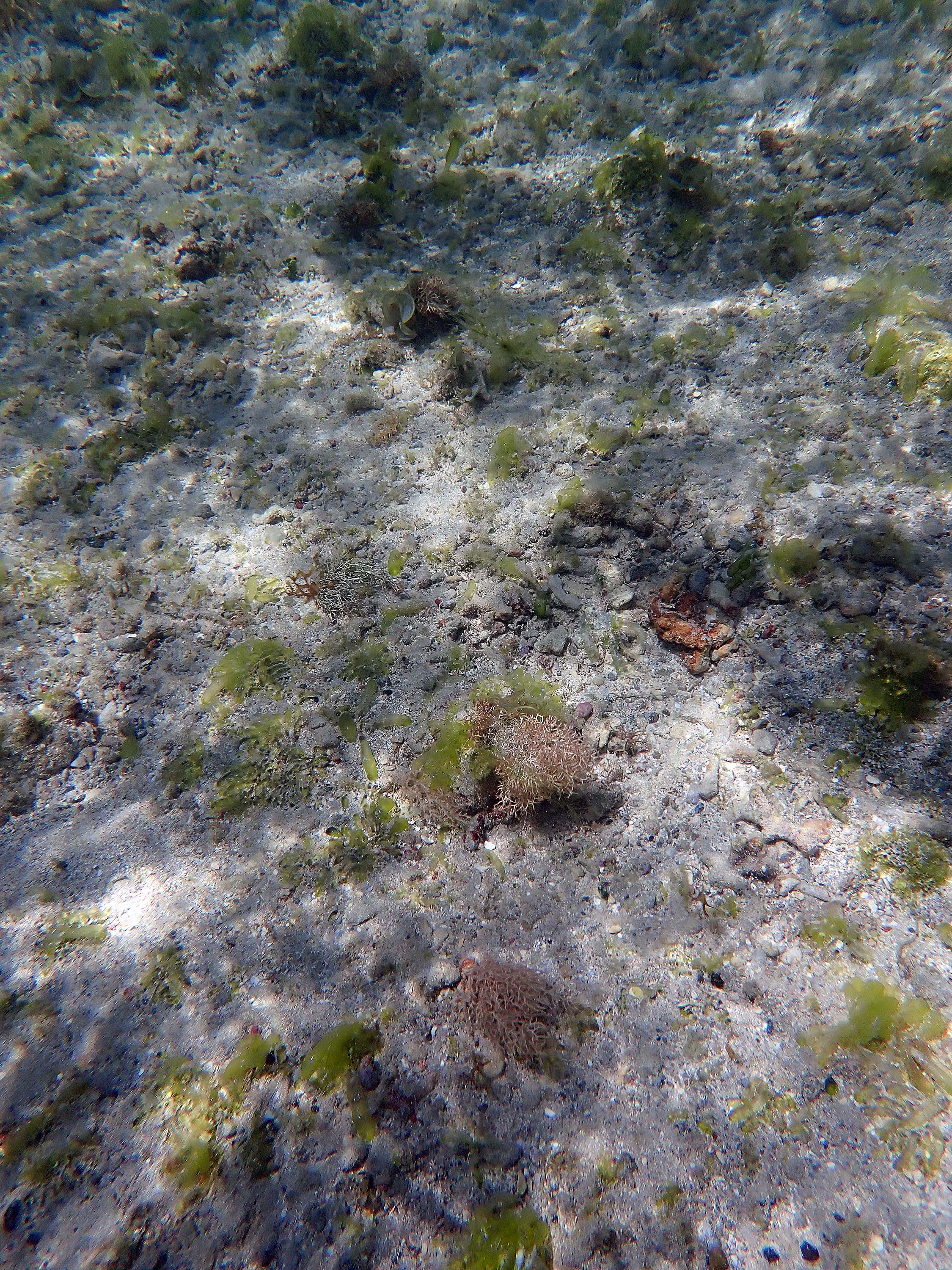
 2024 – #184. A few blades of Thalassia |
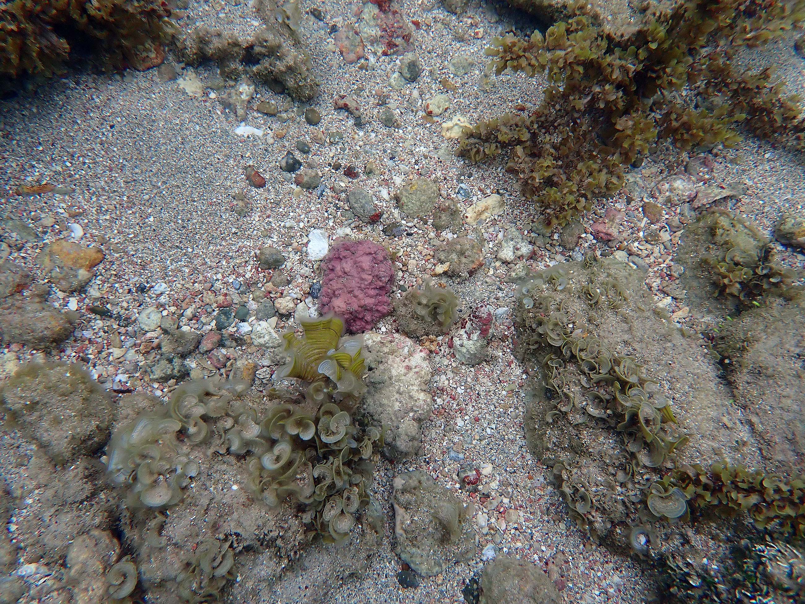 2024 #211, a Rhodolith |
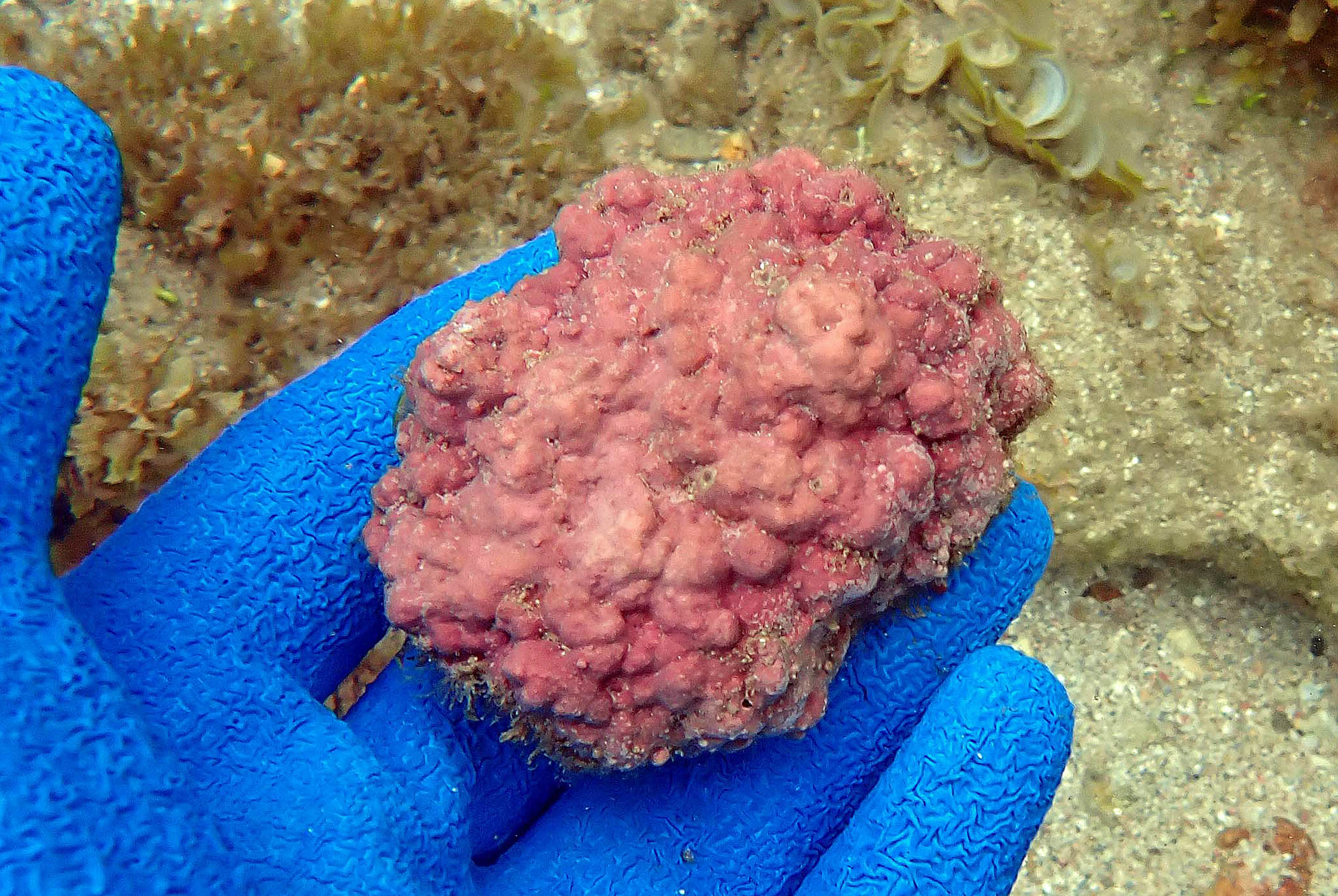 2024 – #213 Rhodolith close-up |
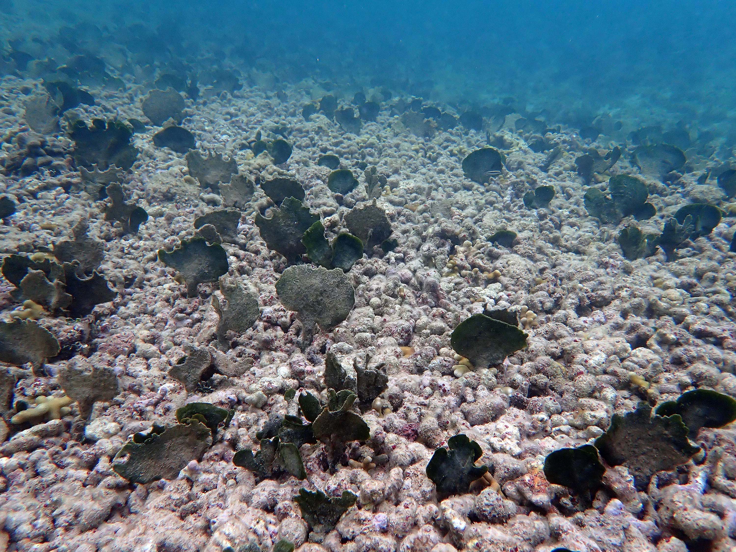
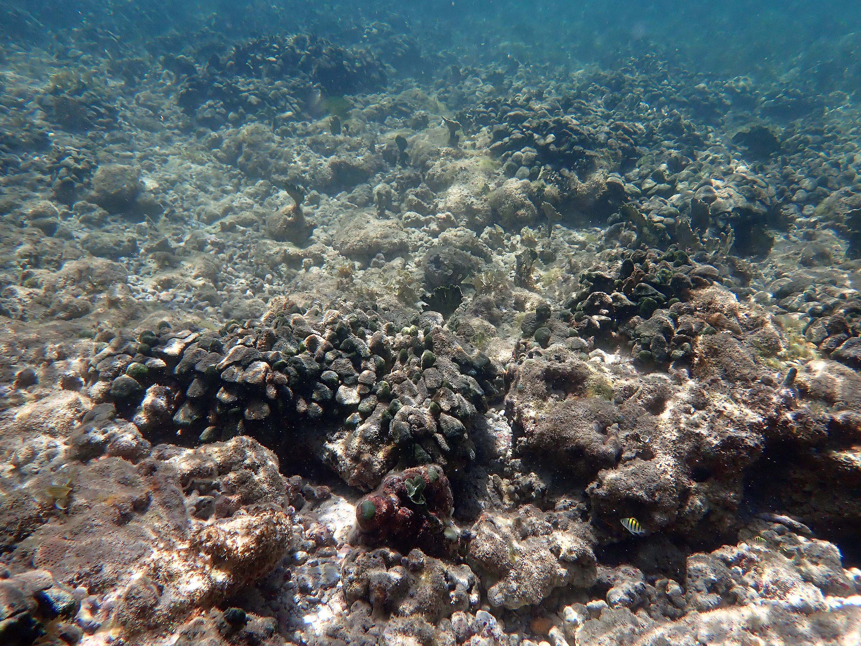
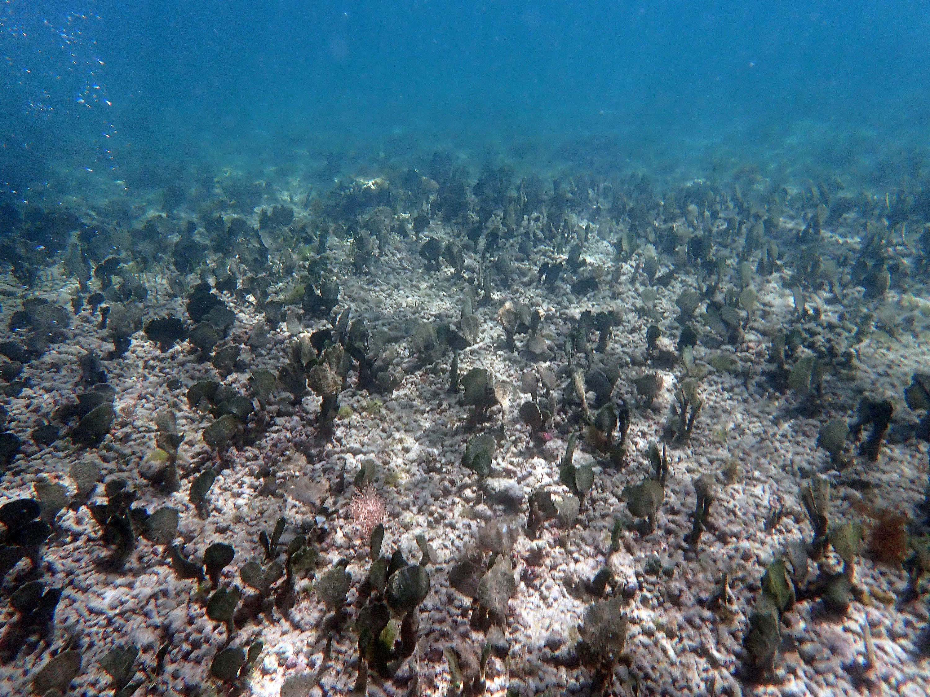
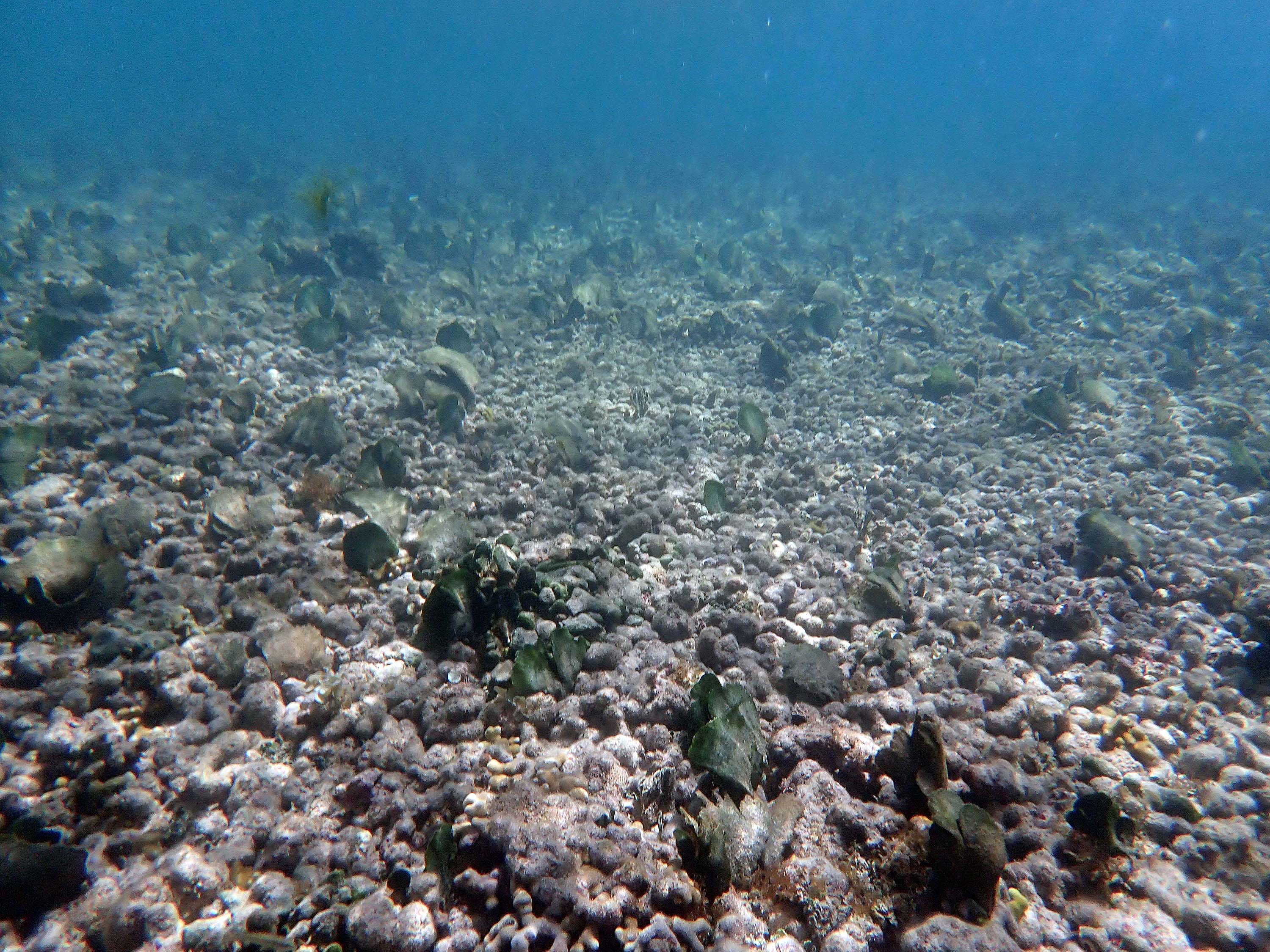
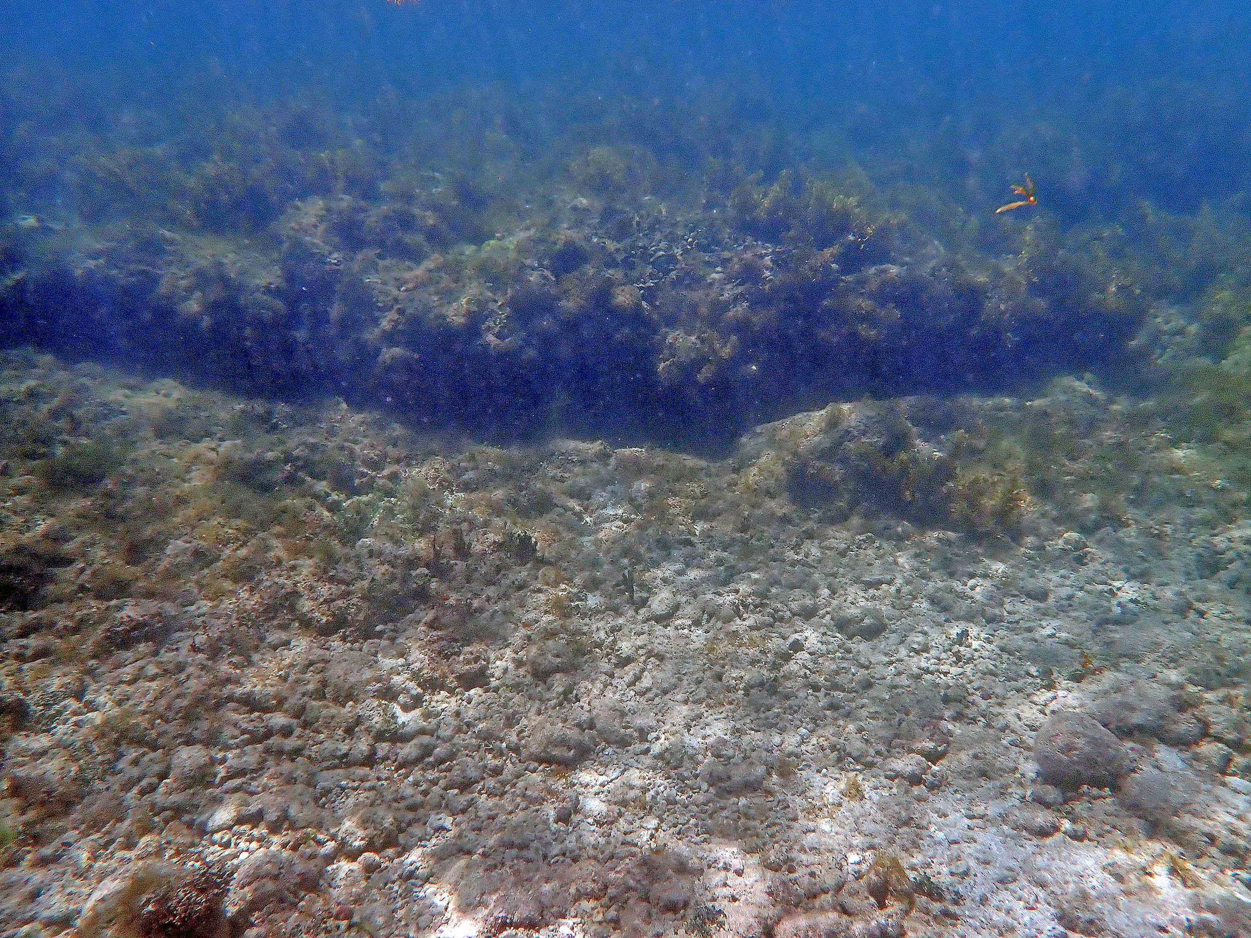
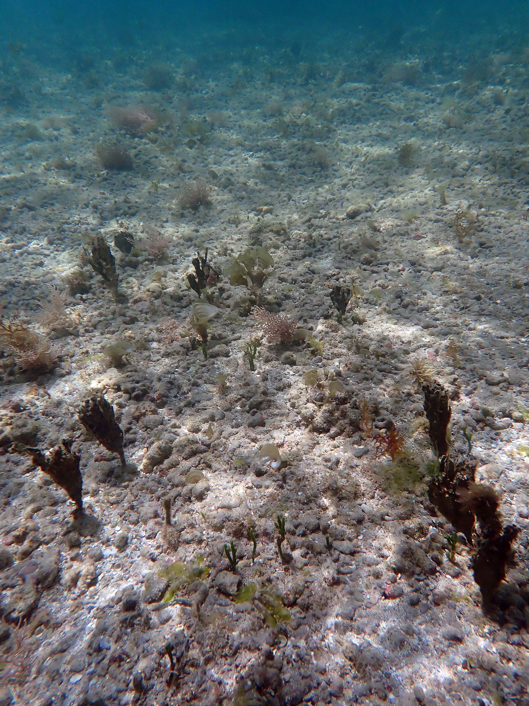
2024 – #497 Loose rubble on hard bottom, area where once there were raised Avrainvillea-Thalassia beds
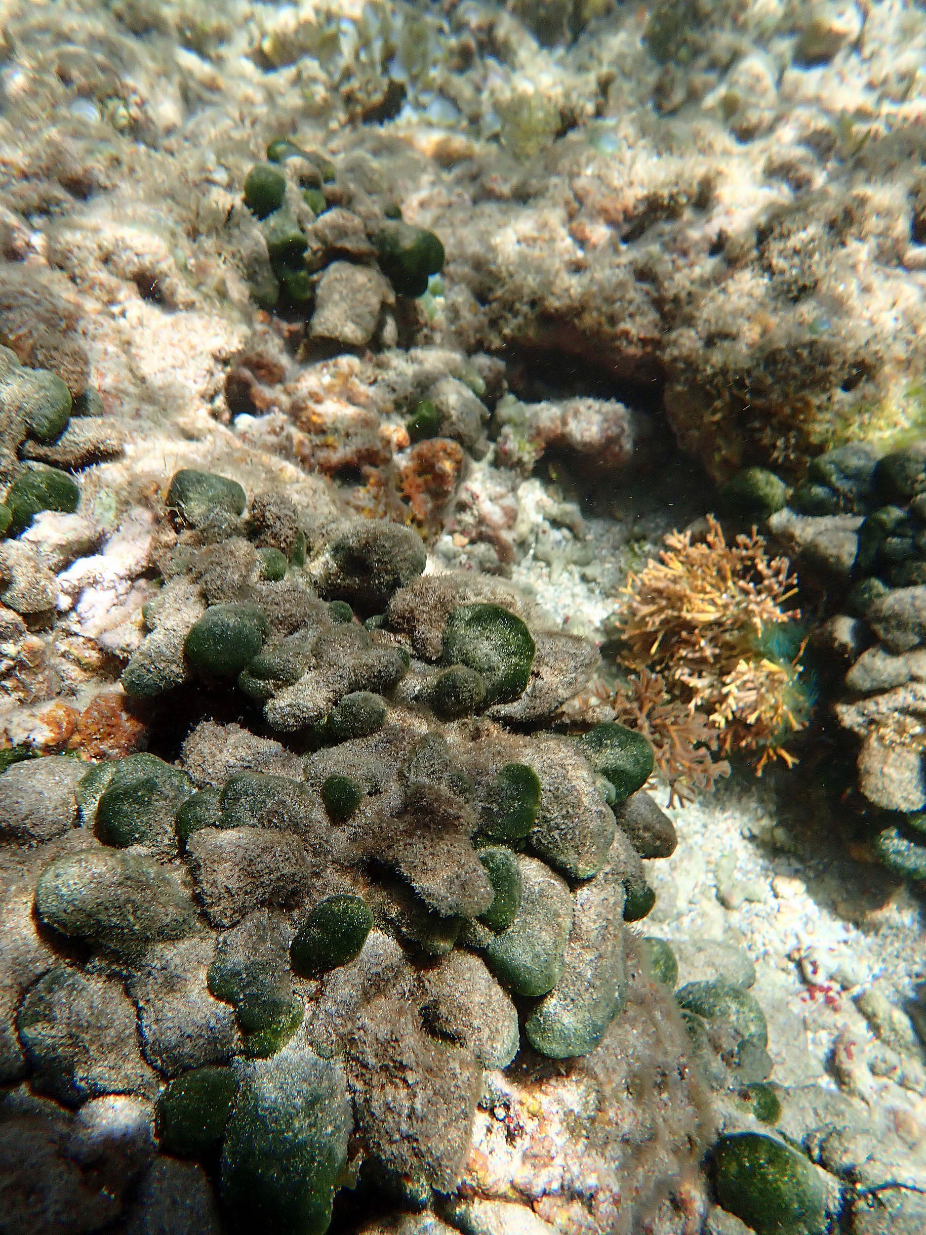
 2024 – #547 Landward face of “big rocks”. A. rawsonii appears heavily epiphytized |
 2024 – #552 Landward face of “big rocks”. Halimeda sp., P. furcata; note heavy growth of turf algae. |
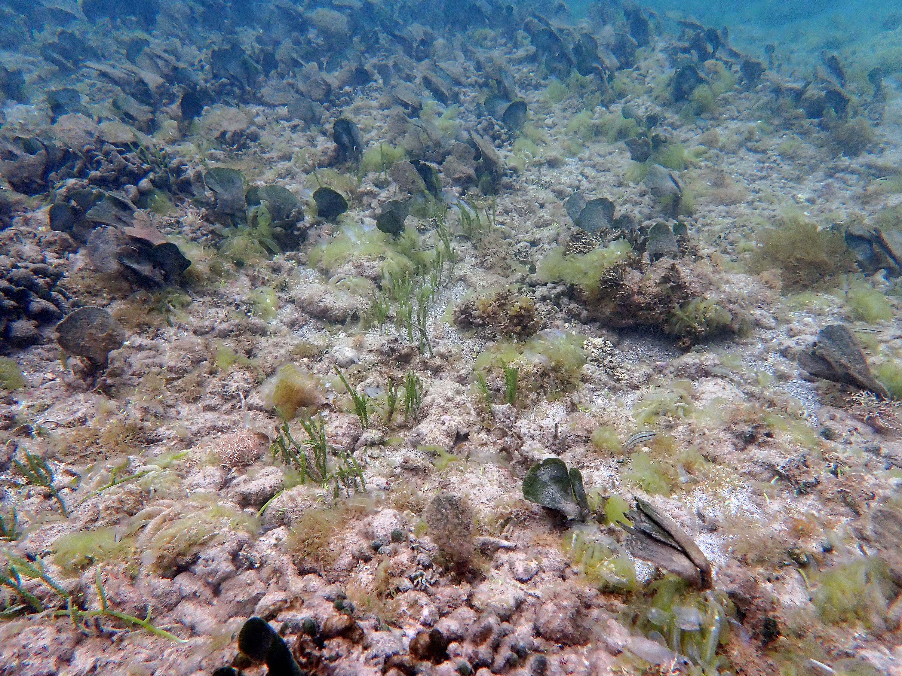
 2024 – #559 This appears to be an area of A nigricans, once with T. testudinum, & probably A. rawsonii, now “smothered” by loose rubble, note turf algae on rubble. |
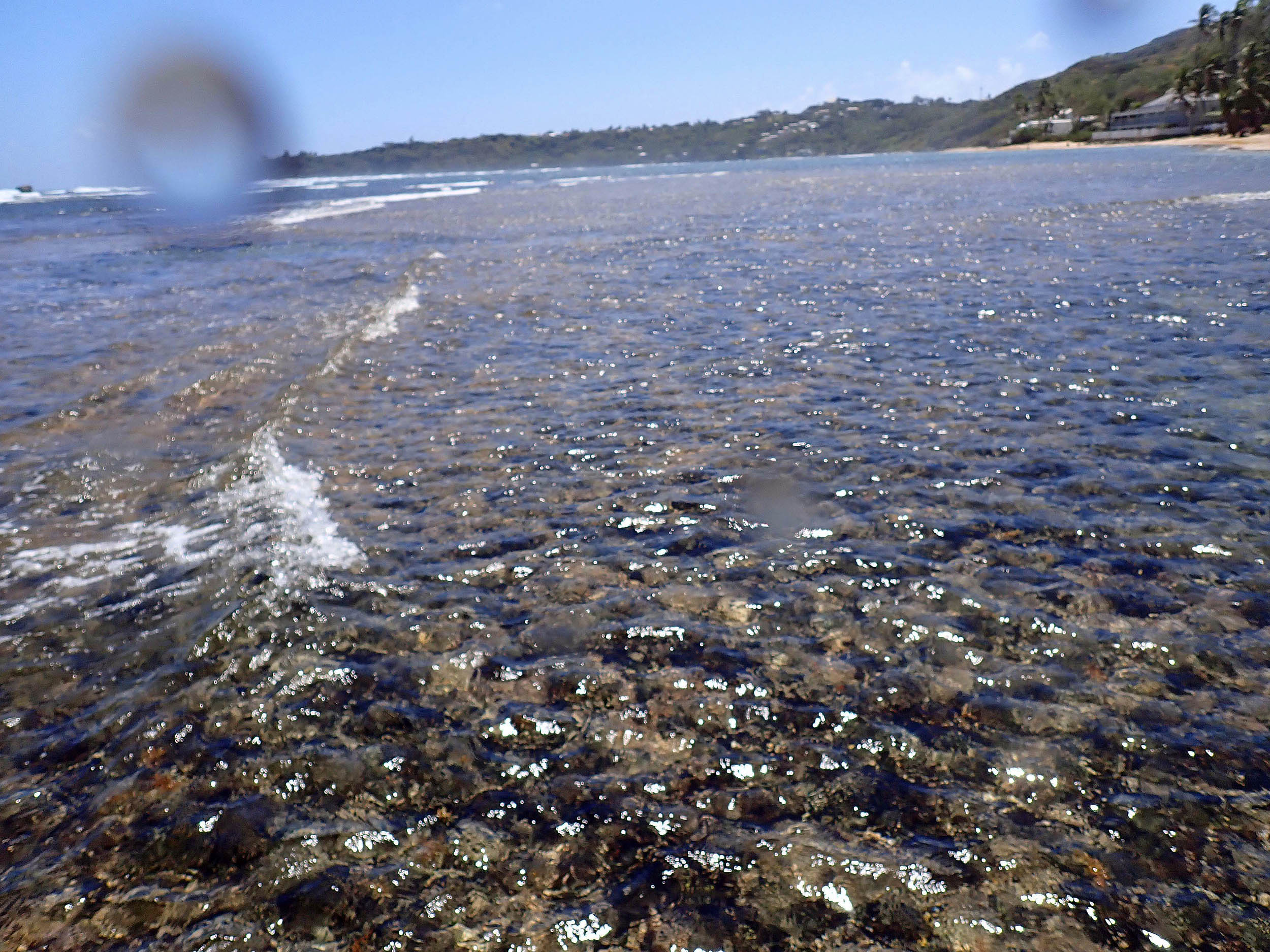
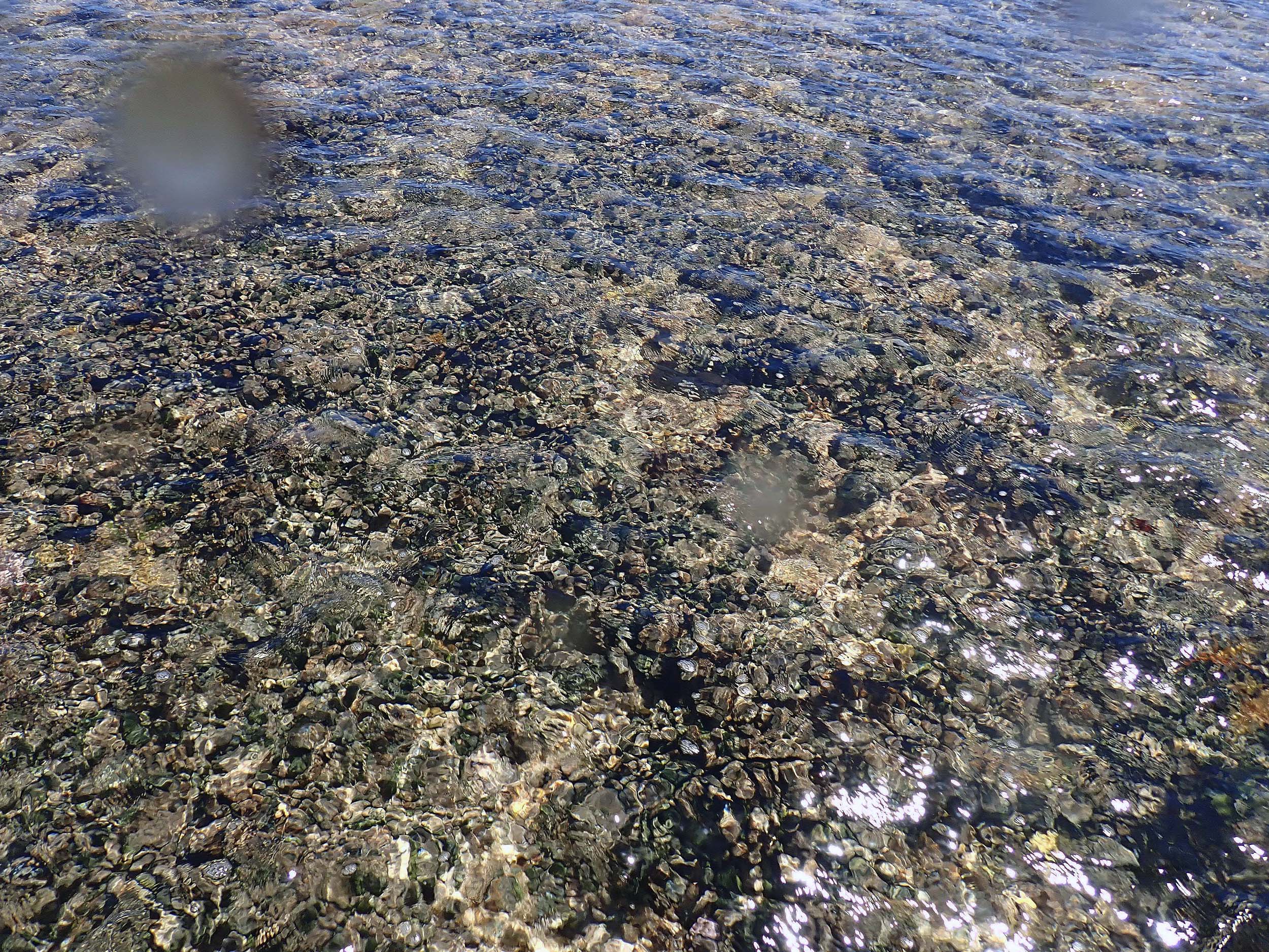
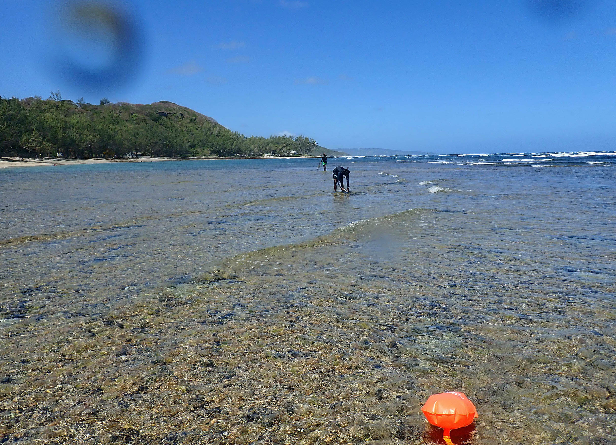
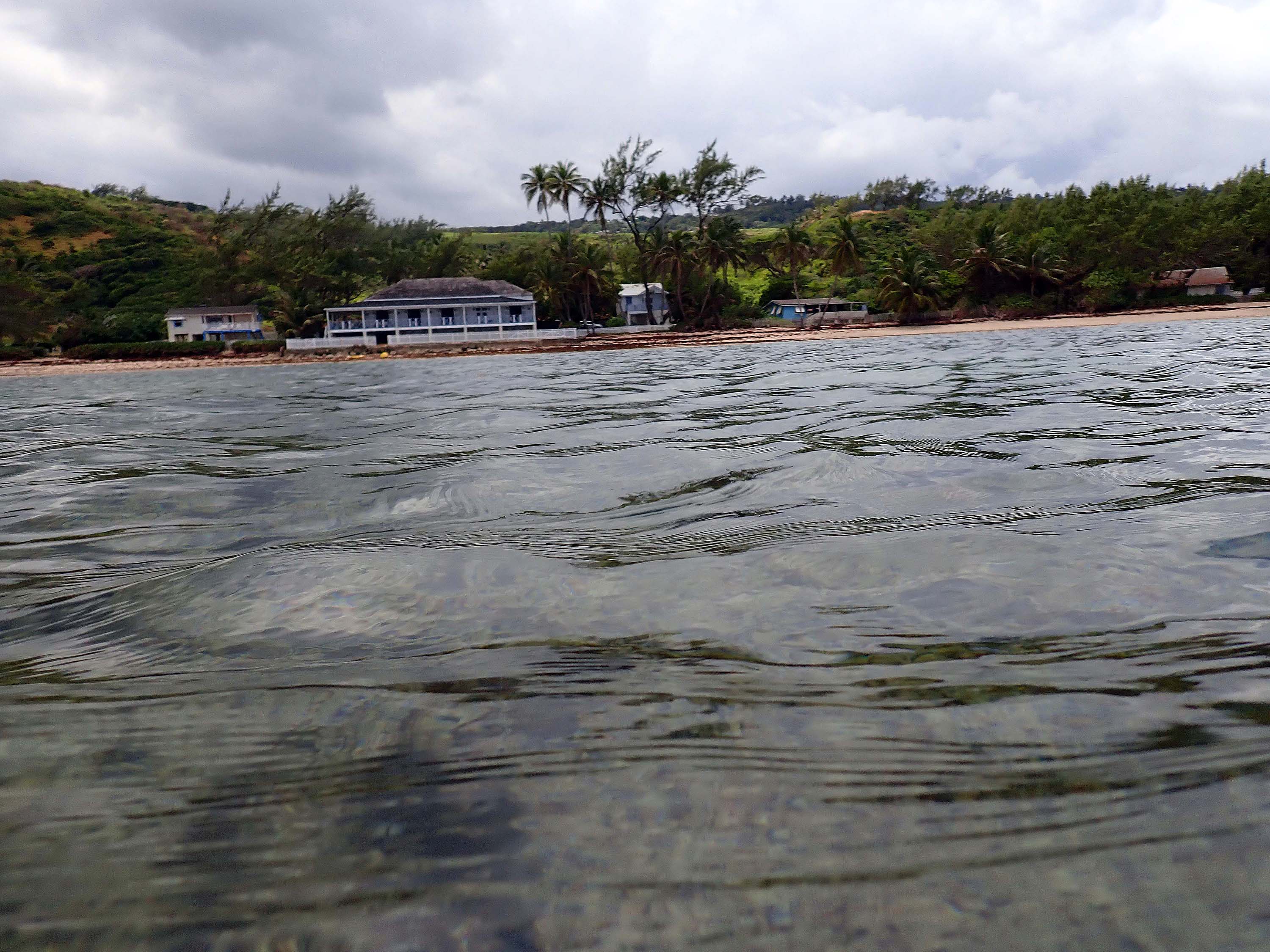 2024 – #560. View towards shore. |
 2024 – #571. Boergesenia forbesii |
 2024 – #572.Boergesenia forbesii |
 2024 – #585.Boergesenia forbesii |
 2024 – #611 Close to shore circa 75 m NNW of M (see map). Caulerpa scapelliformis. |
2025 pics
Photos were taken on Mar 2, 2025. Special Thanks to Elon Cadogan/CORALL for facilitating the visit.
LABELLING IN PROGRESS
Google Earth Map of Bath area, showing approx. route of photo-survey in 2025. 3-digit nos are photo numbers. BPF: Bath Beach Facility; M: landward end of Main Transect in 1968/9; B: basecamp in 1968/9. 01, o2 etc are Positions where GPS coordinates were obtained; they can be viewed in the metadata for the photos (given below, identify them by the 3-digit nos; direction of view also given in metadata for photos at these Positions.
 2025 #012 Close to shore near Bath Beach Park. T. testudinum present. |
 2025 #015. Close to shore near Bath Beach Park. T. testudinum present.The “aggregation”/clump is likely a piece of the old coarse sod that was once in raised beds and was colonized by T. testudinum. |
 2025 #025 Close to shore near Bath Beach Park. T. testudinum present. Halodule wrightii (seagrass) present but sparse. |
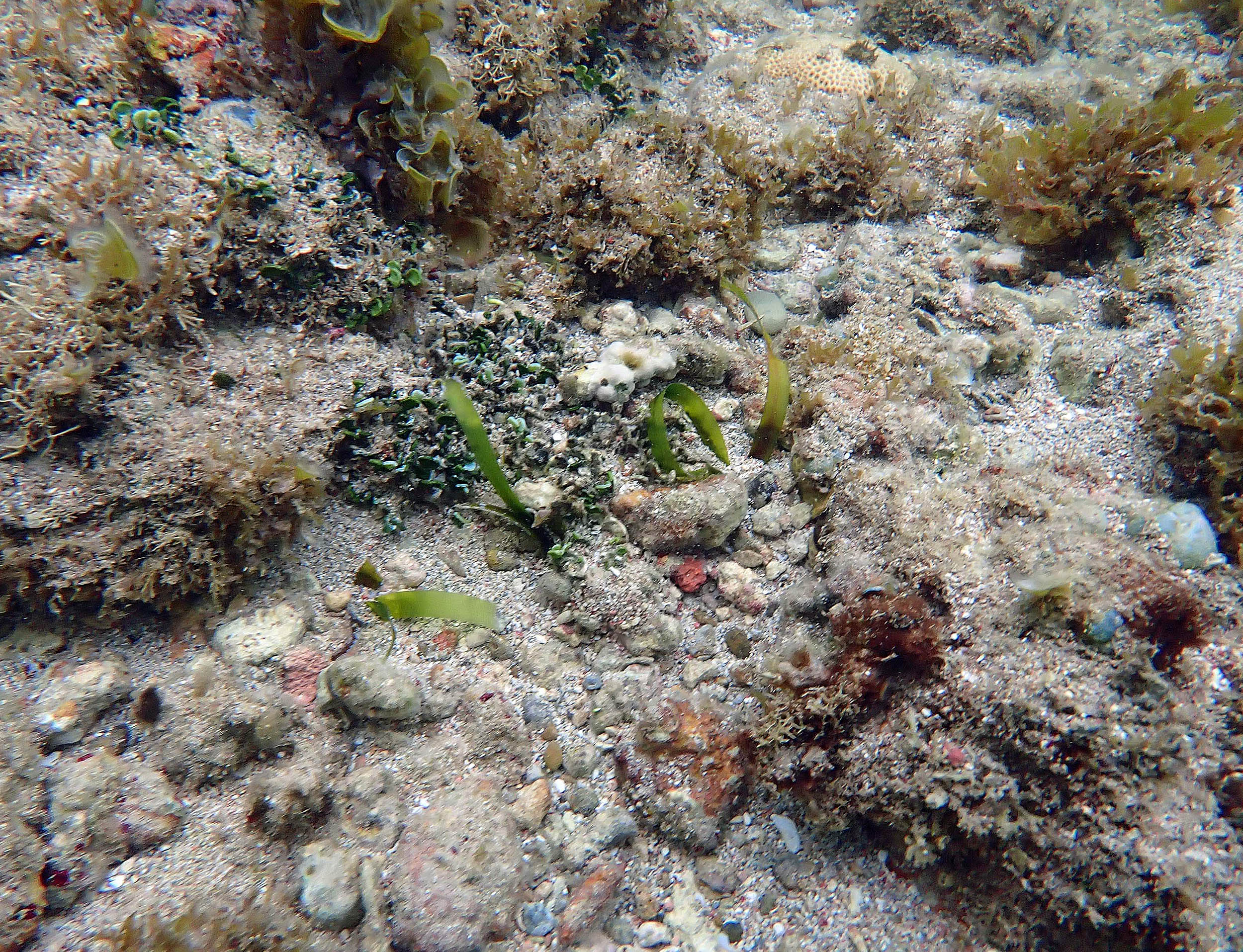
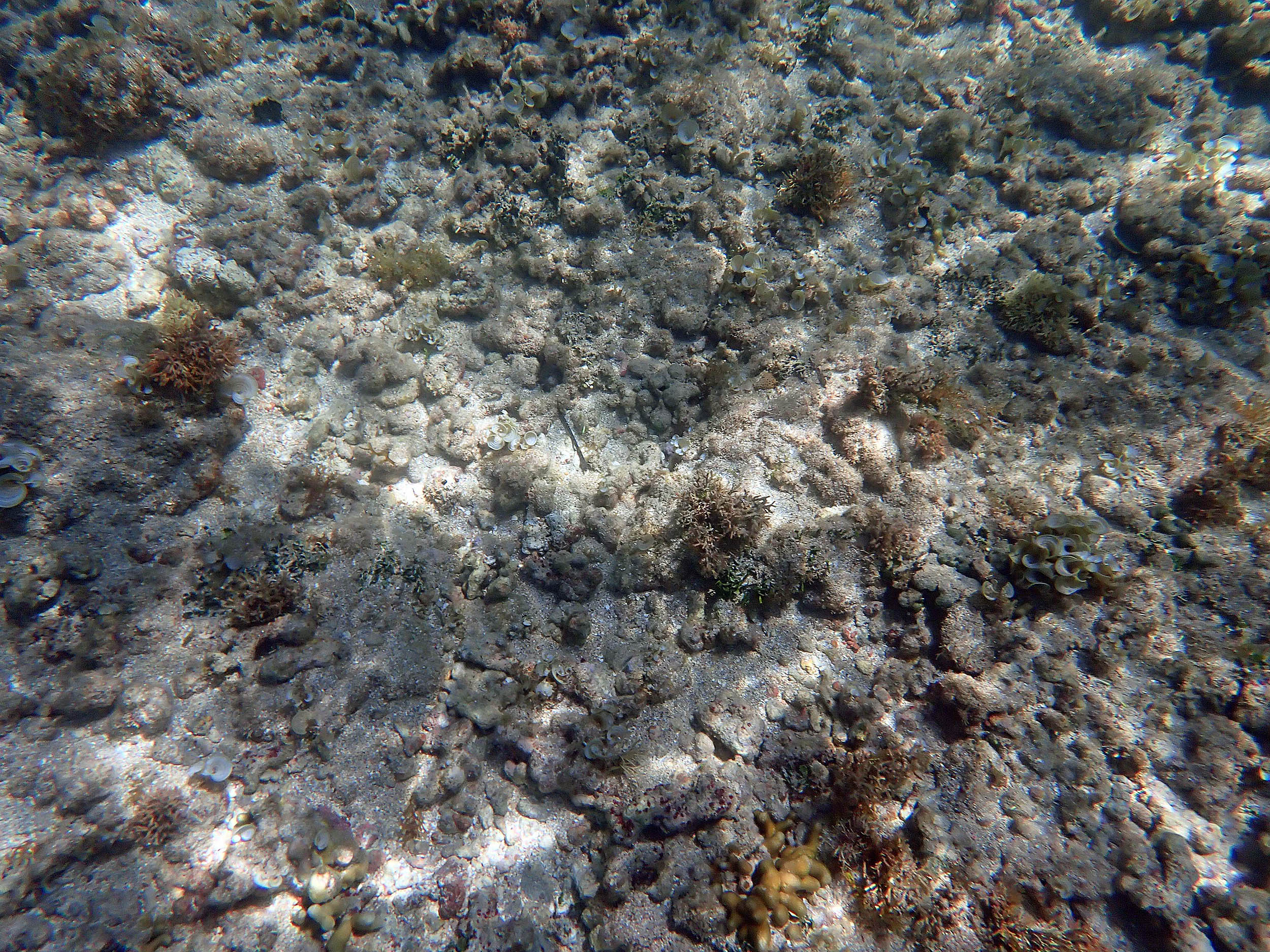
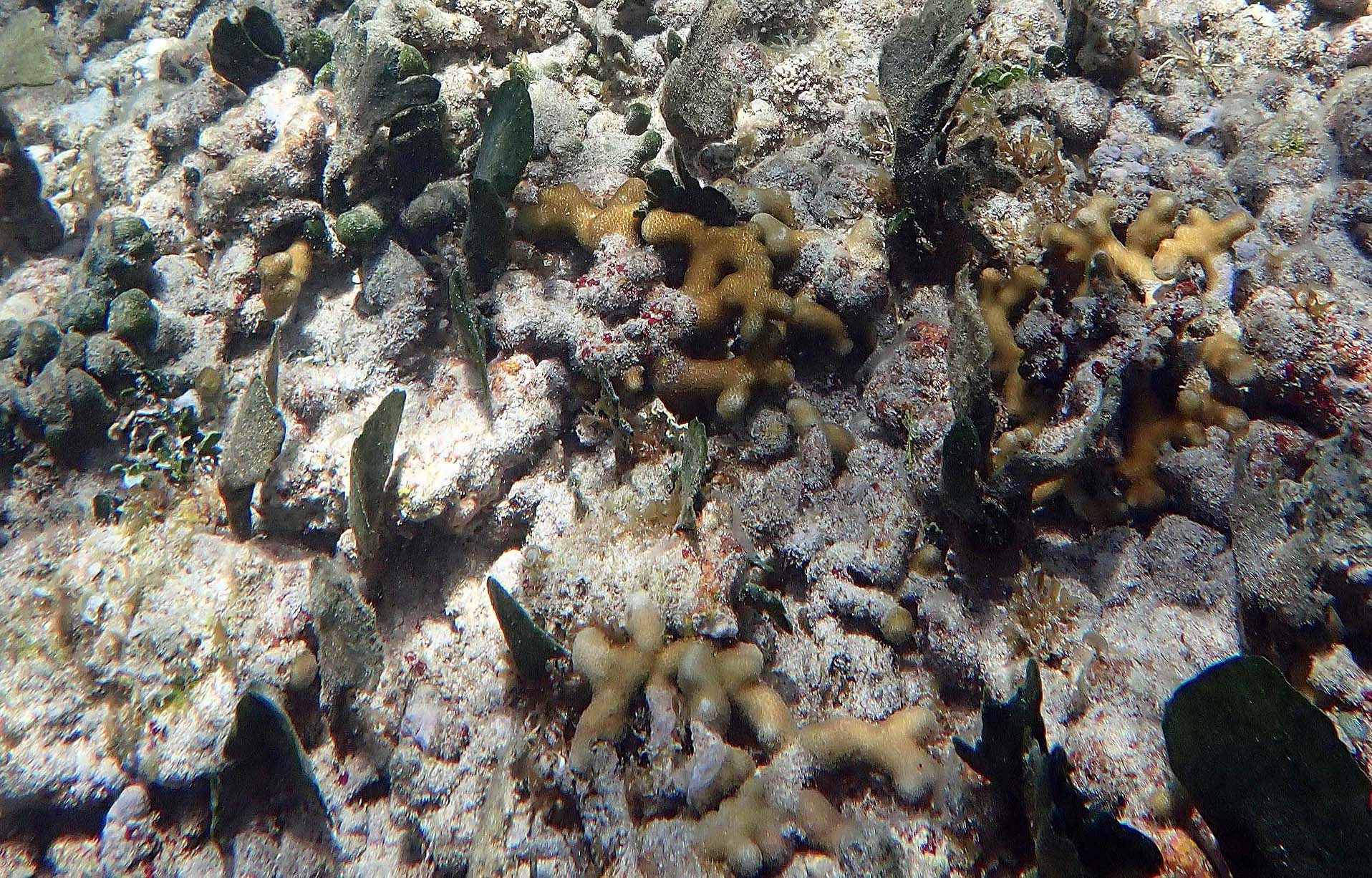 2025 – #065 Fine Porites furcata specimens on the apparently stable Rubble Framework substrate. |
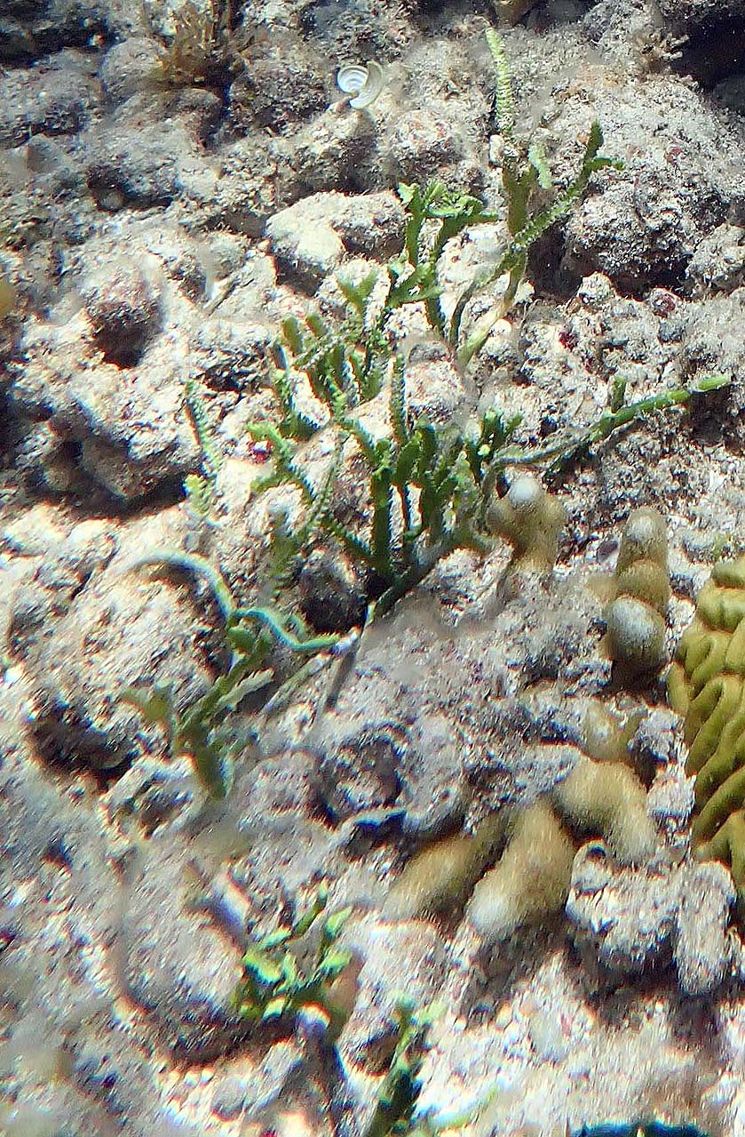 2025 – #080 Caulerpa serrulata, Porites furcata on stable Rubble Framework substrate |
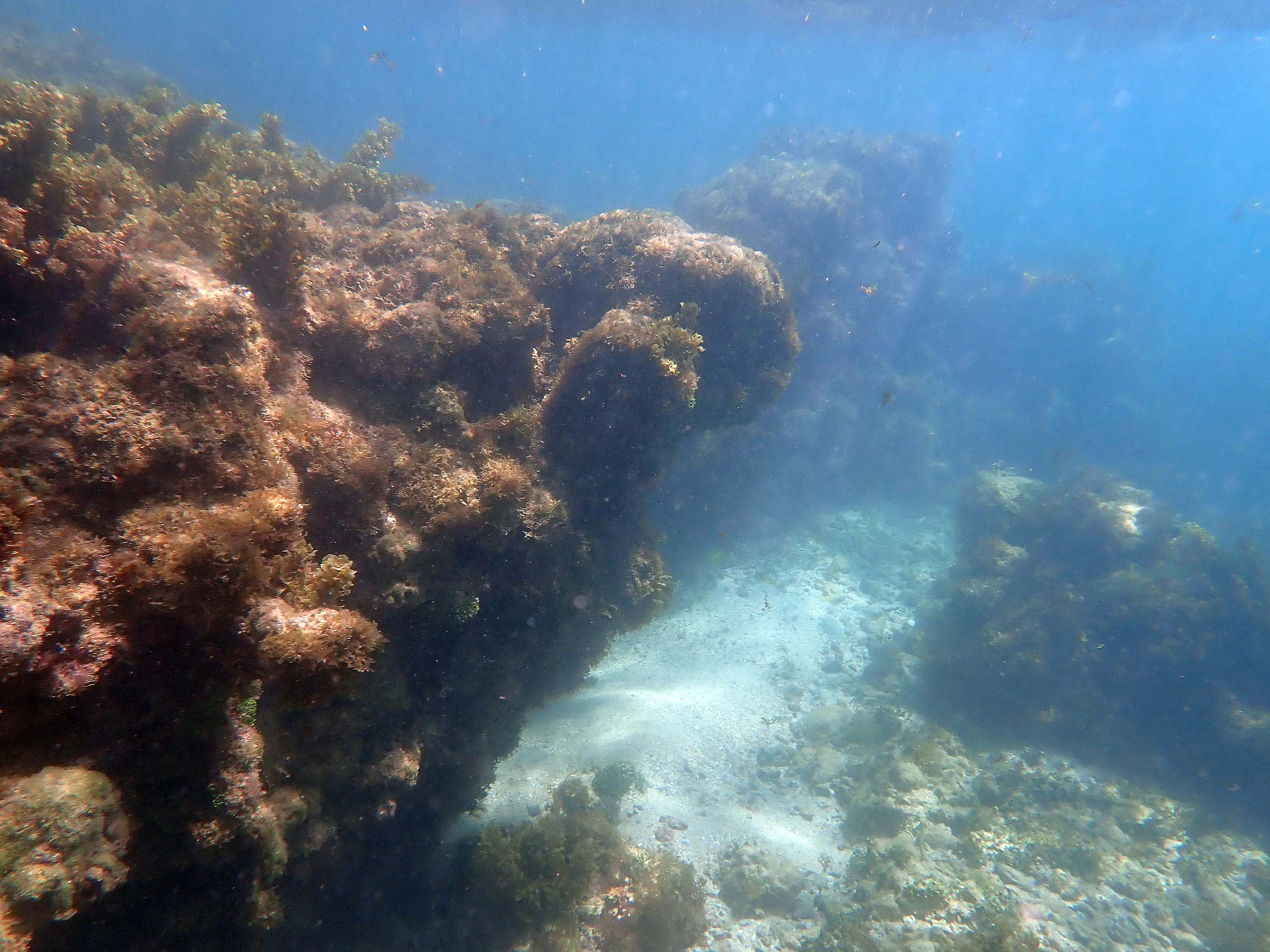
 2025 =#106 View towards edge of the reef flat-like area/extension of it into slightly deeper water. This is firmly bound, likely partially to well lithified substrate. |
 2025 -#109 Close to the edge of the the reef flat-like area |
 2025 – #113 Pos’n 1 on Map; View 142deg (SE); on shallow, cemented (litified) calciferous, reef flat-like area. |
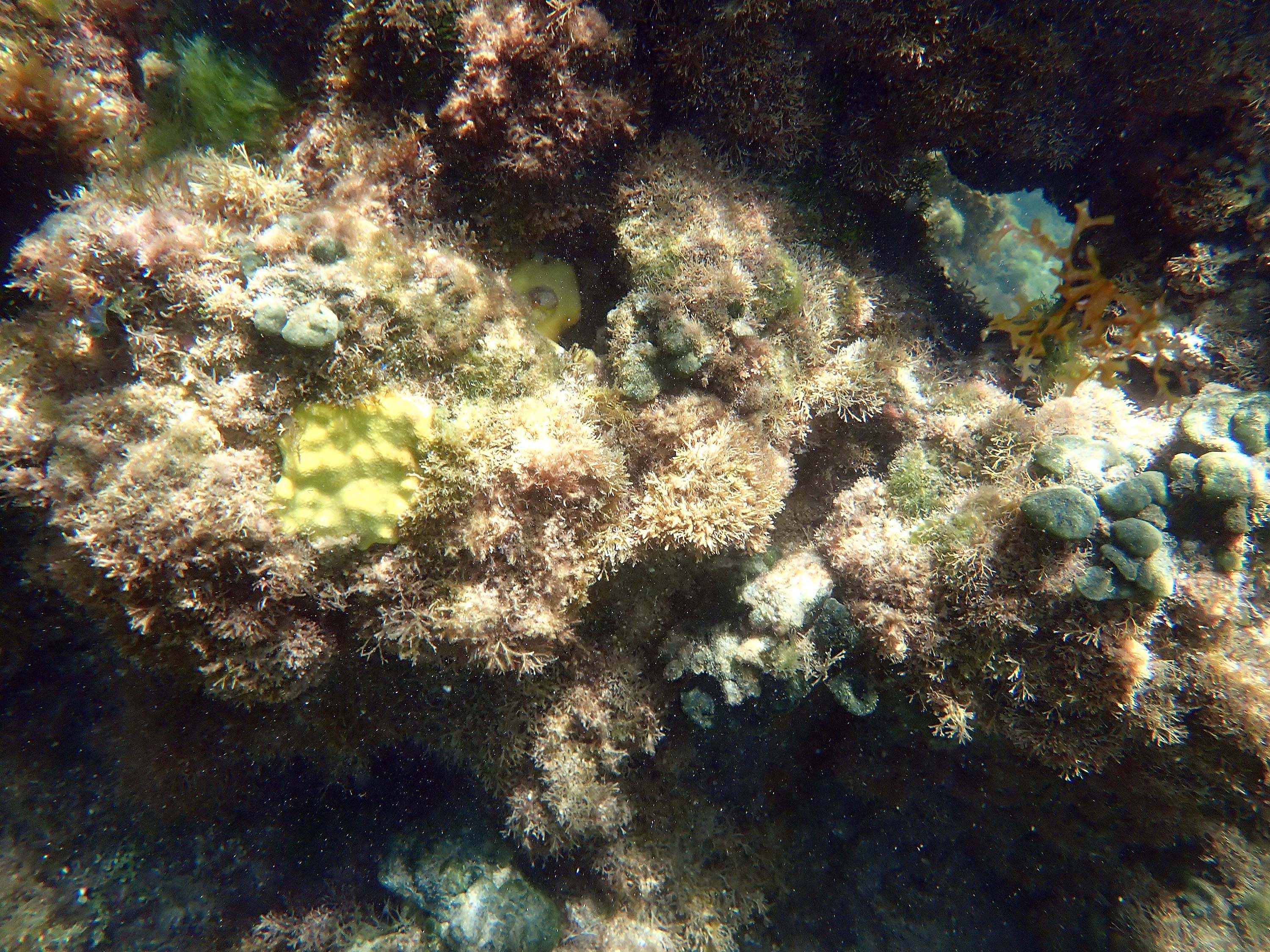
 2025 #114 Looking down at the calciferous, reef flat-like area (too shallow to photograph underwater; time close to Low Water. Abundant Avrainvillea rawsonii. |
 2025 #117 Pool within the calciferous, reef flat-like area |
 2025 #119 v. close to Pos’n 2, view -74 deg (NW) |
 2025 # 120, Pos’n 2, view 99 deg (E) |
 2025 #121 v. close to Pos’n2, view -177 deg (SW) |
 2025 – #124 |
 2025 – #127 |
 2025 – #139 |
 2025- #140 |
 2025 -#146 |
 2025- #149 |
 2025 – # 160 (v. close to Pos’n 3), View 75 deg (NE) |
 2025 – #161 Pos’n 3 on Map; View -137 deg SW) |
 2025 -#162 |
 2025 -#167 |
 2025 – #180 |
 2025 – #187 |
 2025 #205 Pos’n4 |
 2025 – #206 |
 2025 – #243 |
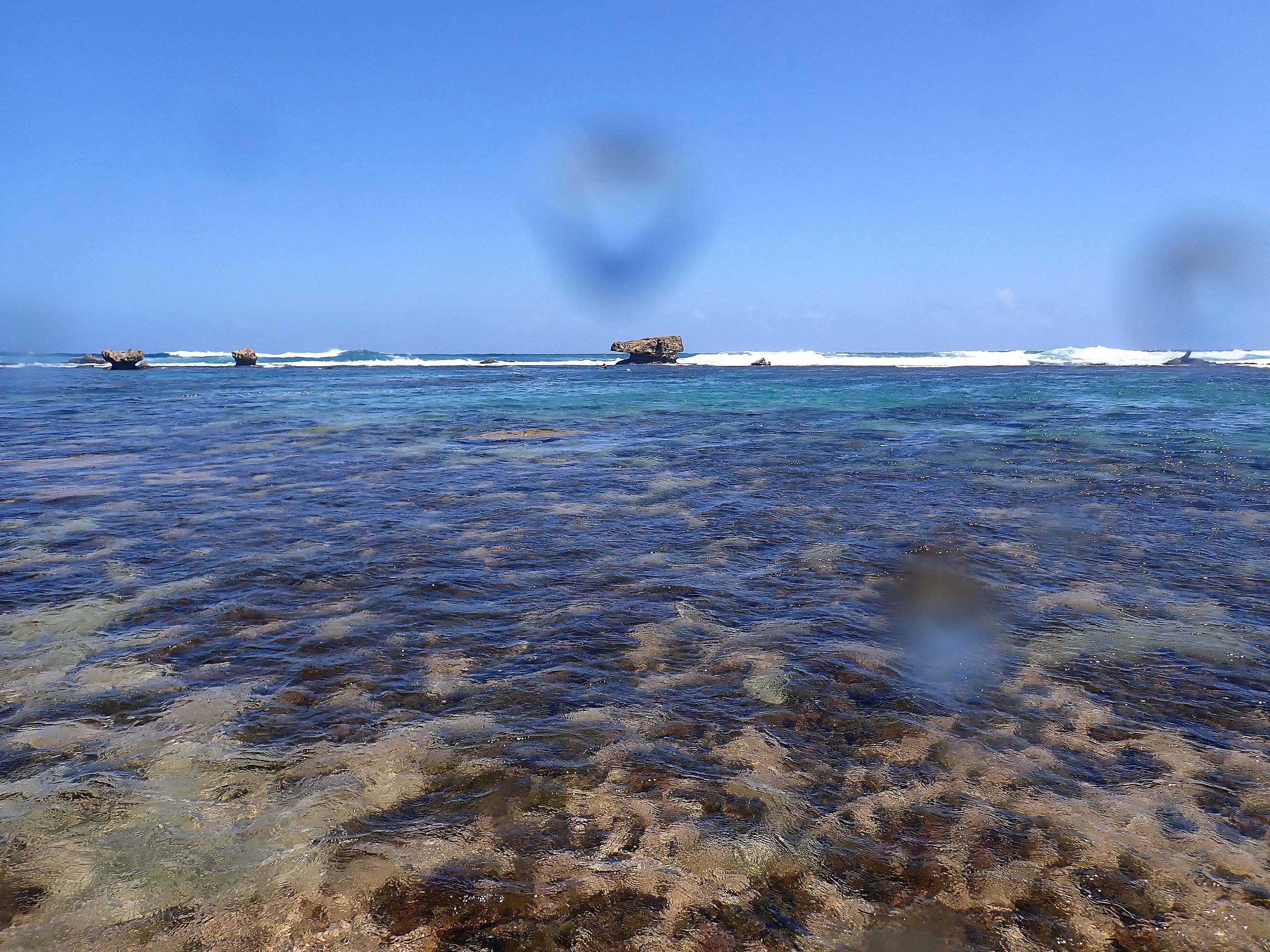 2025 – #245, Pos’n 5.View 68 deg (NE). At the landward edge of “The Platform”, lagoon in view and emergent rocks at seaward edge of The Platform. |
 2025 – #276 |
 2025 – #281 |
 2025 – #320, Pos’n 5b. No GPS data. The tide changed from slack to rising tide, minutes ago, strong onshore current pushing us westward. Landward Edge of platform about 7 meters ahead. |
 2025 – #321, first photo off of The Platform,less than 60 sec from #320. Sargassum (local attached sp.) |
 2025 – #329 I think is looking NE towards the finger like landward extension of The Platform (see Map above) |
 2025 – #360 |
 2025 – #365 |
 2025 – #366 |
 2025 – #371 |
 2025 – #373 |
 2025 – #378, Pos’n 6, View towards shore/Basecamp area, – 90 deg (W) |
 2025 – #387 |
 2025 – #390 |
 2025 – #397 |
 2025 – #404 |
 2025 – #406 |
Contrast these 2024/2025 pics with photos and videos going back to 1968-70,
View Historical Imagery and its Subpages:
– Bath 1968-70
– Bath 1994
– Bath 2005
– Bath 2011-i
– Bath 2011-ii
– Bath 2015-i
– Bath 2015-ii
– Bath 2015-iii
– Bath 2024/5 (This Page)
| An example: Video clips of lagoon and platform area at Bath on Mar 21, 2005
|
ON THE STATUS OF SEAGRASS MORE BROADLY AT BARBADOS
From A NATIONAL BIODIVERSITY STRATEGY & ACTION PLAN FOR BARBADOS (2002) , some line breaks and punctuation/bolding inserted:
“Seagrass areas, commonly known as seagrass beds or meadows, are distributed along the coast in shallow water where sunlight penetration is adequate to facilitate photosynthesis.
Delcan (1994b), reported seagrass beds
– along the west coast at Shermans, Six Men’s Bay, Speightstown and Brighton;
– along the southwest coast at Bridgetown, Hastings, Rockley, Worthing, St.Lawrence, Dover, Maxwell, Welches, Oistins, Enterprise and Atlantic Shores of Barbados;
– and along the east coast at Bath and Conset Bay.“There is evidence that the quality of the local coastal marine water is deteriorating due to increased sedimentation, eutrophication and sewage pathogens, localised increases in
temperature, decreases in salinity, and perhaps increases in toxins (Delcan, 1994a).
Tracing from aerial photographs showing putative turtlegrass (T. testudinum) beds.
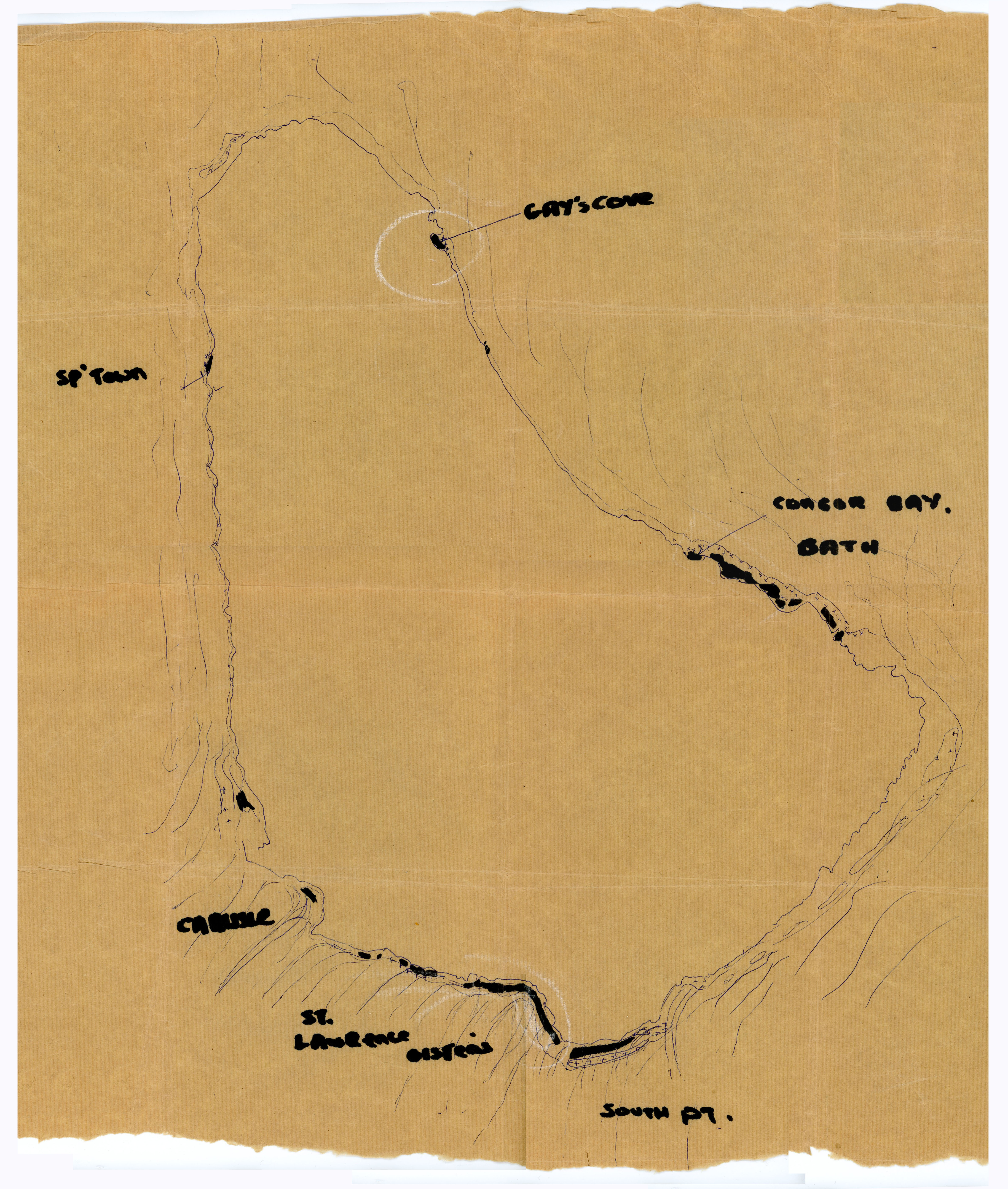
At right is a tracing from aerial photographs I produced in 1967 showing all of the dark patches/putative turtle grass beds. I checked them out by direct observation, T. testudinum was confirmed at all sites excepts Gays Cove. I went there, there was a coarse rubble beach with a fairly steep descent into deeper water and I was greeted by a very large barracuda – my first encounter. I left without further investigation.
Comment Brathwaite et al, 2008, pp 48-9 in Barbados: A Coral Paradise (Miller Publishing), paragraphing inserted:
Seagrass beds have faired little better than mangroves on the island. Areas where the habitat was once prolific such as Worthing Lagoon in the south and Bath in the east have either steadily or abruptly lost their grassy marine meadows over the course of the last 40 years.
These fish nurseries and natural sediment sinks have all but been lost from the southern coastline, with only a few pockets of growth remaining in the St. Lawrence area. Here the demise has been witnessed since the 1960’s when the lagoon once hosted a mature seagrass meadow comprising dense mats of turtle grass and associated macroalgal species, sea eggs and conch.
By the 1990’S the area of the meadow had declined considerably and the early 2000’s witnessed a drastic decline and virtual disappearance of any seagrass in this area. This was a result of a combination of deteriorating water quality and changing sediment transport patterns within this dynamic area, together with a bumper recruitment of the white sea egg which grazed the grass blades en masse an~their underground rhizomes as sand erosion exposed them.
It is ironic that the sea egg, much prized as a local delicacy,decimated the last remaining beds within the lagoon, leaving bare sand in their wake. Recent studies of the lagoon however are revealing signs of recovery of seagrass and corals within the area.
Thus, barring the occurrence of severe natural or man-made disturbances in the near future, there is hope that Worthing Lagoon may one day be covered in a lush seagrass meadow again.
At Bath, the loss of seagrasses is less severe, as this area is much less prone to human induced impacts than the heavily developed south coast. However, changes in water quality due to increased levels of development, land use changes and increased volumes of sediment carried to the nearshore in storm water run-off have taken their toll on the habitat.
Regrettably, the Bath seagrass beds, the largest sweep of seagrass beds in Barbados followed a demise much like that which occurred at St. Lawrence circa 20 to 25 years earlier.
It appears there remain only patches of Turtle Grass (Thalassia testudinum) beds anywhere in Barbados, but I have not made a formal survey to back that up.
The descriptions above refer generally, I believe, to “seagrass beds” rather than to seagrass species per se which can include, beside occurrences in distinct “beds”, sparsely distributed plants that don’t form distinct beds and don’t show up as “dark patches” visible from shore, from the air or from a boat (as do “seagrass beds”).
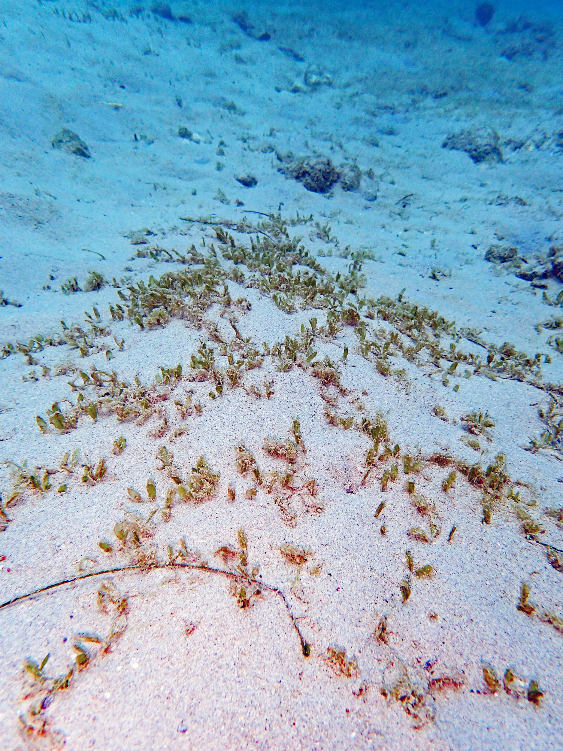
Some examples are shown below. Except for the first, which is a patch of Halophila decipiens, the photos are of spasely distributed Halodule wrightii. Interestingly, both areas where I observed them – Carlisle Bay on the SW coast, and SurfSide in the MPA on the west coast – are frequented by green turtle, a seagrass-grazing species. As well, in Carlise Bay, I observed a Red Cushion Star, a species once common in seagrass beds of the Caribbean but that is much less common these days.
The Halodule wrightii at SurfSide which I observed in 2024 and in earlier years, appeared to have been completely elimniated when I visited the area in Feb and Mar of 2025. I suspect the causative agent was massive physical disturbance by swells generated by Hurricane Beryl, those impacting Barbados on June 30/July 1, 2024. Coincidentally or not, green turtles which had been common at Surfside in earlier years, were completely absent in Feb and Mar of 2025.
 2016 – #068 Halophila decipiens on sandy bottom, circa 5 m depth, Vauxhall Reef area in the Folkestone MPA, Mar 22, 2016. It was not seen in subsequent years (2017, 2018, 2019, 2020, 2023, 2024, 20250 |
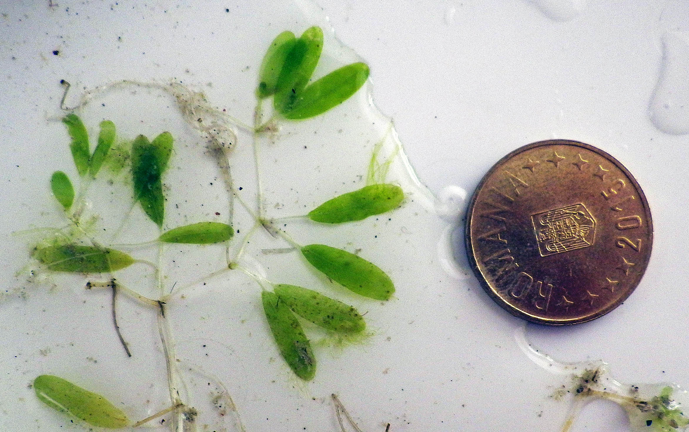 2016 -#580 Halophila decipiens specimen. Coin is 23 mm width. View iNaturalist record. |
 2023 #236 Red Cushion Seastar (Oreaster reticulatus) on sandy bottom with sparse Halodule wrightii (s0me with green algal ephiphytes) at Carlisle Bay, April 6, 2023 |
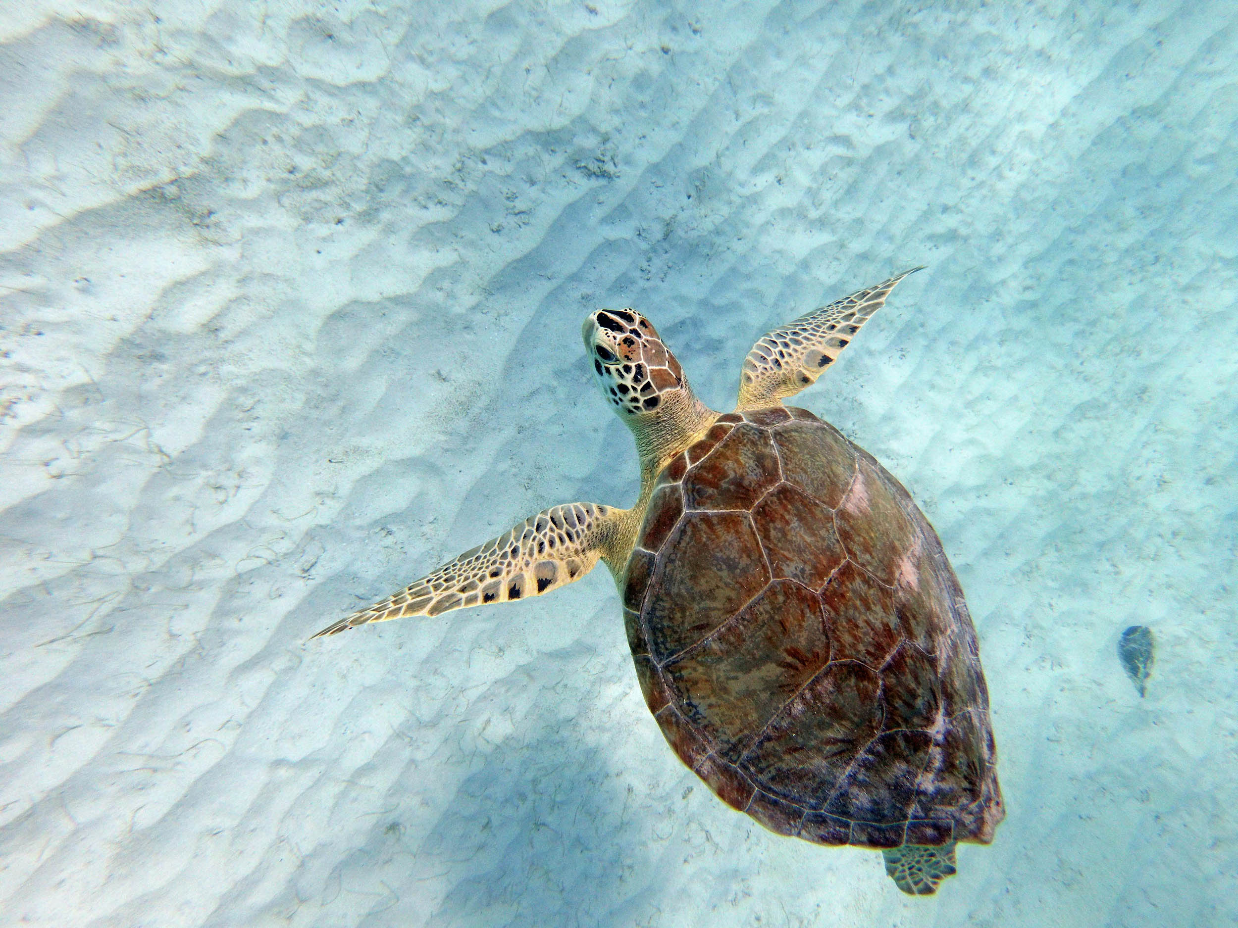 2024 – #375 Green Turtle on sandy bottom with sparse Halodule wrightii at Carlisle Bay, circa 7 m depth, Mar 21, 2024 |
 2024 – #786 Trunkfish on sandy bottom with sparse Halodule wrightii (s0me with green algal ephiphytes) at Carlisle Bay, Mar 21, 2024 |
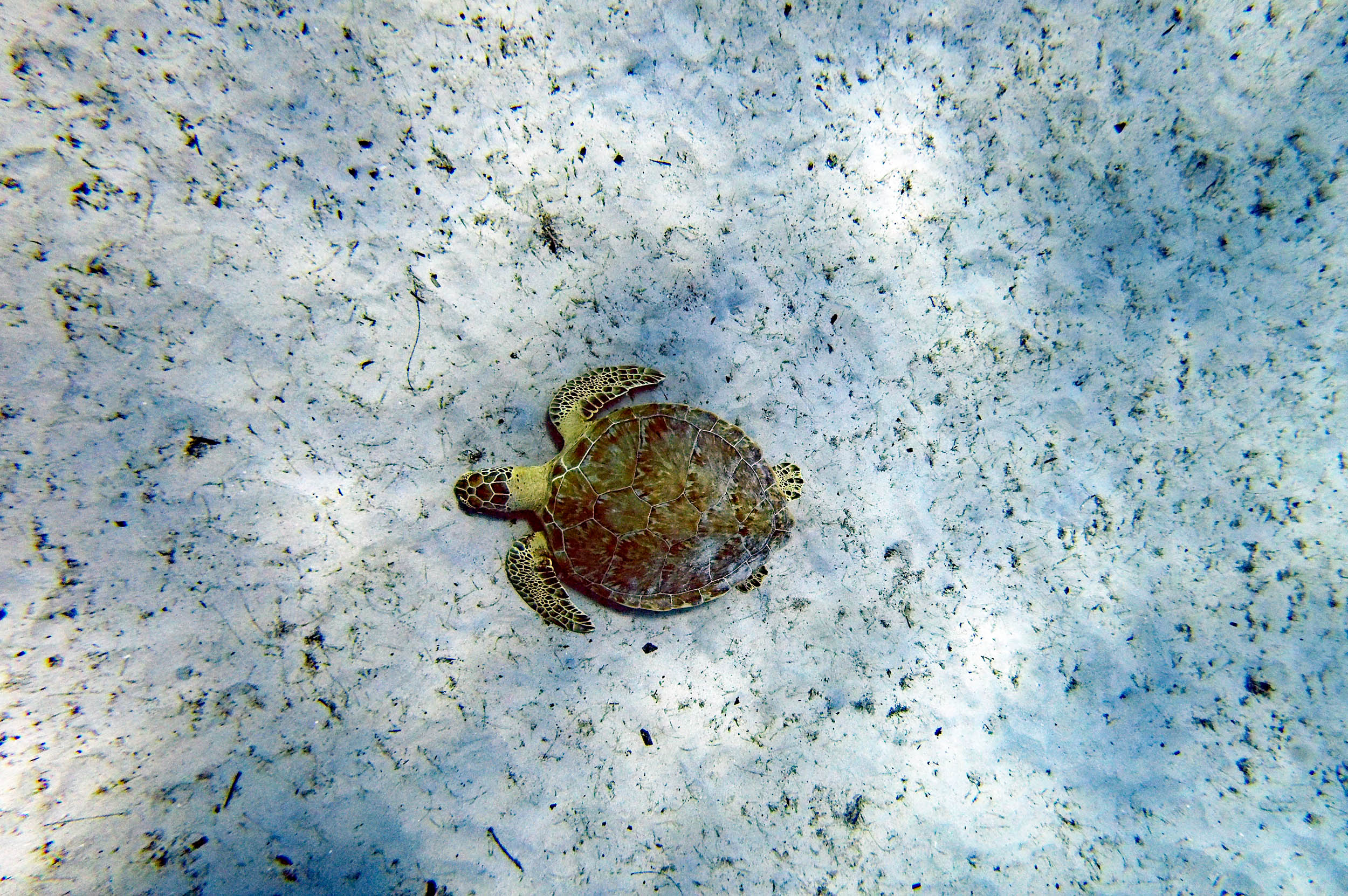 2023 #212 Green Turtle on sandy bottom with sparse Halodule wrightii (some with green algal epiphytes) at Surfside in the Folkestone MPA, circa 7 m depth Jan 27, 2023 |