
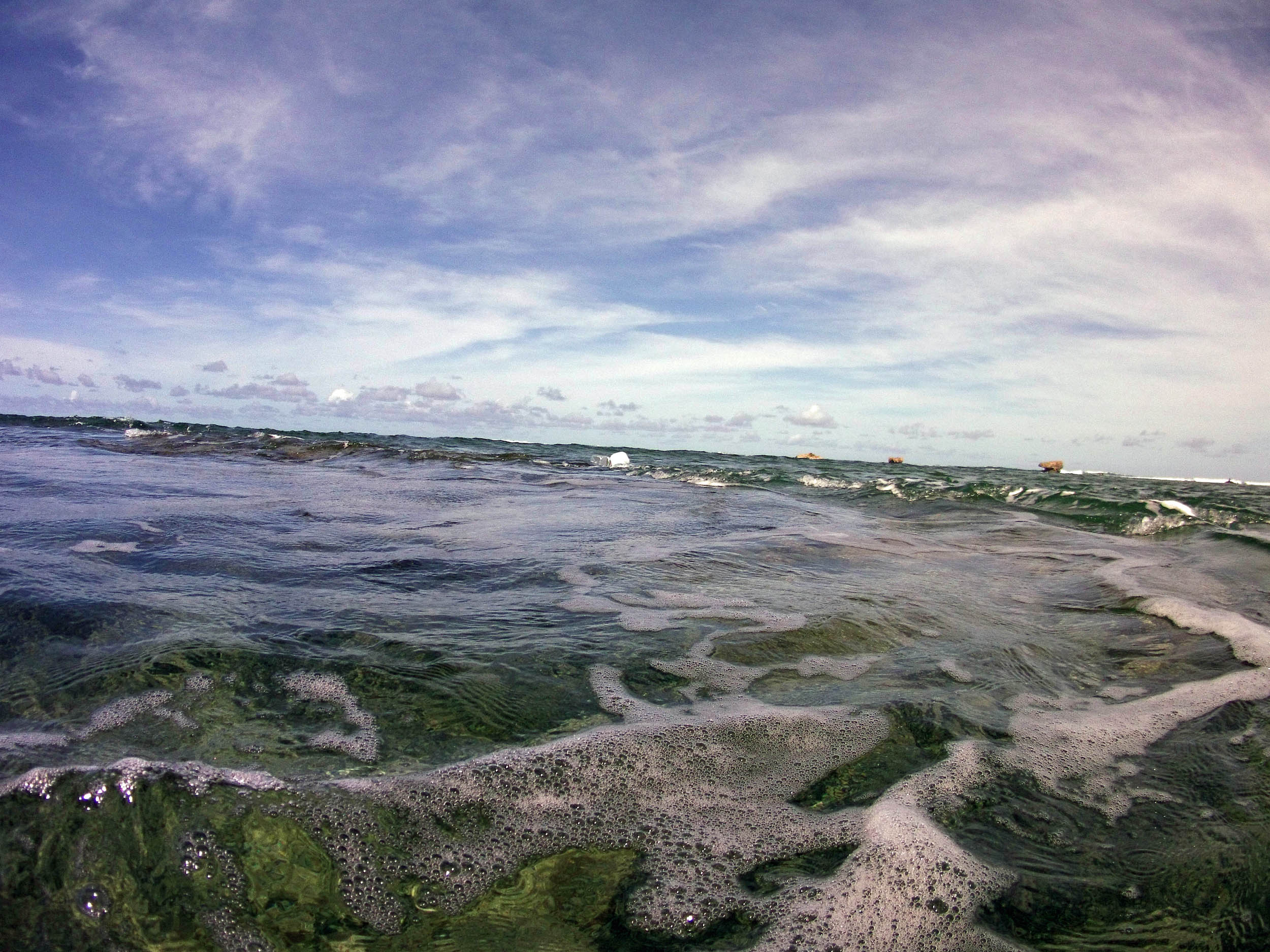
| NAVIGATION This page is a sub-page Historical Imagery, that in turn a subpage of ObsBath, a top-level page on the website Barbados Fringing Reefs and Seagrass Beds (www.versicolor.ca/barbados). Go to ObsBath for a list of other subpages in this section of the website. 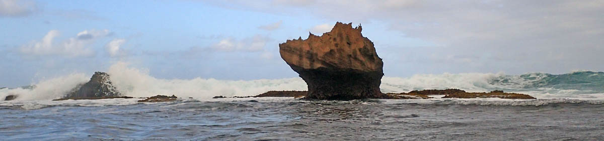 “Huge boulders of Pleistocene limestone, the work of long dead corals, take a battering in the breaker zone”. |
Subpages of Historical Imagery – Bath 1968-70 – Bath 1994 – Bath 2005 – Bath 2011-i – Bath 2011-ii – Bath 2015-i – Bath 2015-ii (This Page) – Bath 2015-iii – Bath 2024/5 |
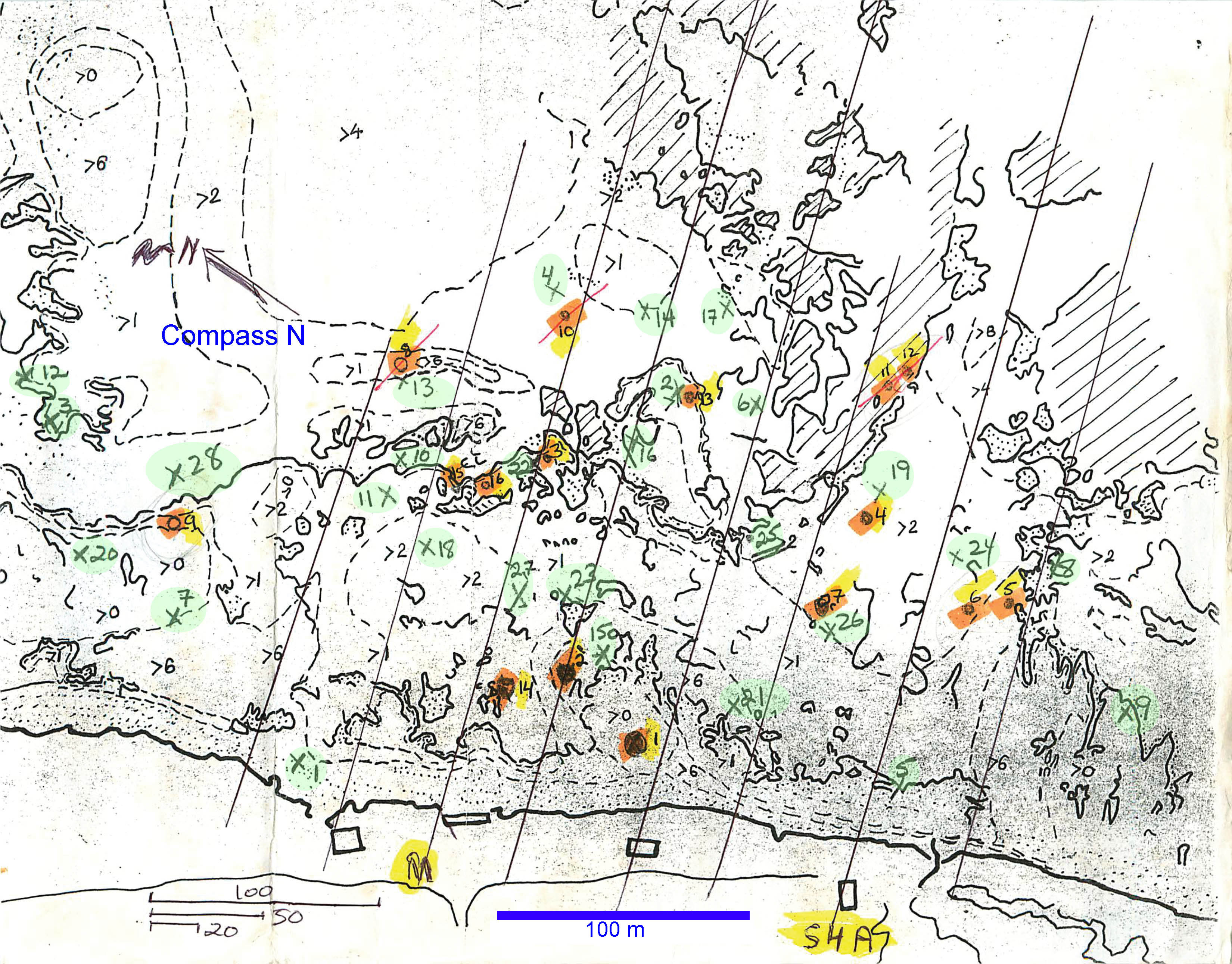
Working Map for Bath from 1969. “>X” refers to depths greater than X feet. Lines are transect lines. Green-highlighted numerals are the 28 random sampling points. Orange/yellow highlighted numerals are the 16 “Stations”, gree highlighted the 28 “Positions”. “M”: Main Transect. “S4A” – 4th transect towards the south from the M transect. Scales at bottom left in yards, meter scale inserted. “Canada began its transition to the metric system (SI) in 1970, with the process largely taking place netween 1975 and 1985. Key milestones included the introduction of Celsius in April 1975, followed by road signs and gasoline sales in the late 1970s, creating a hybrid system still used today” (From Google AI)
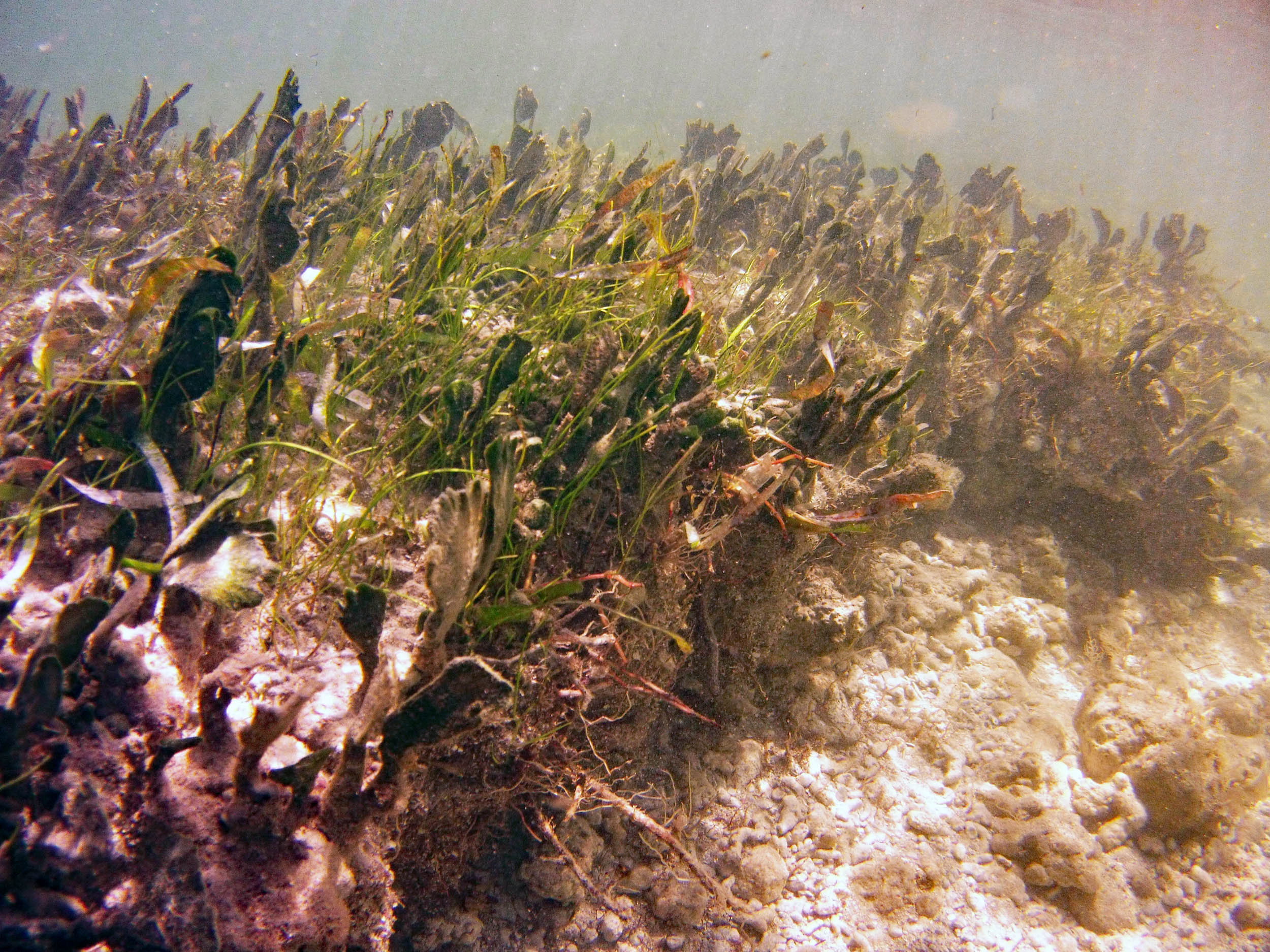
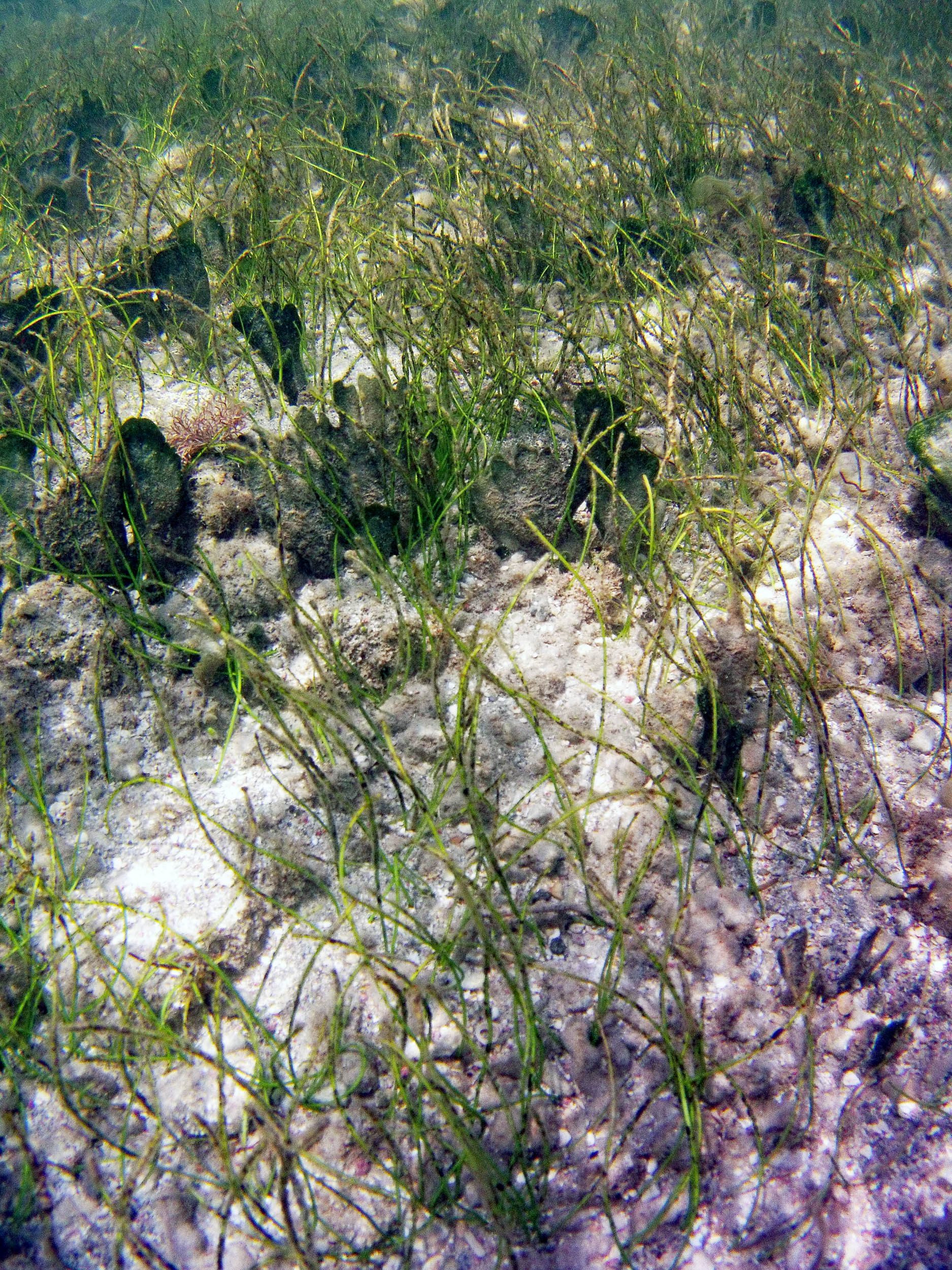
Transect M
Photos on Feb 9, 2015
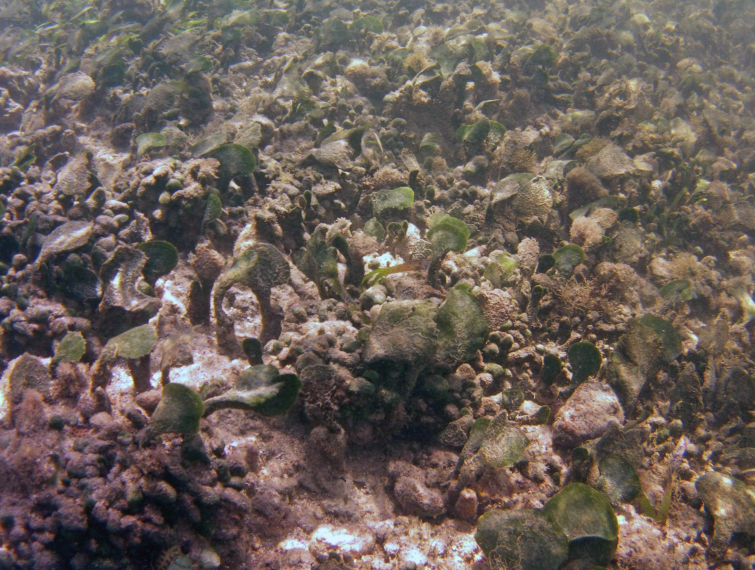
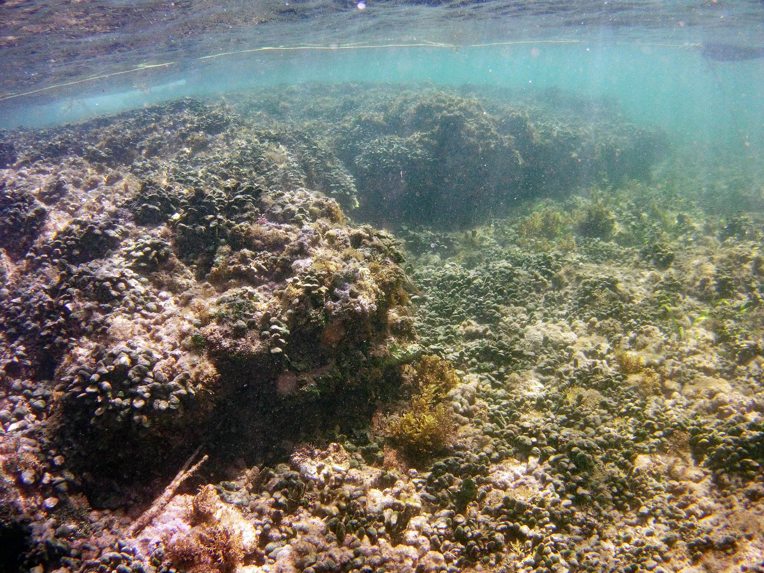
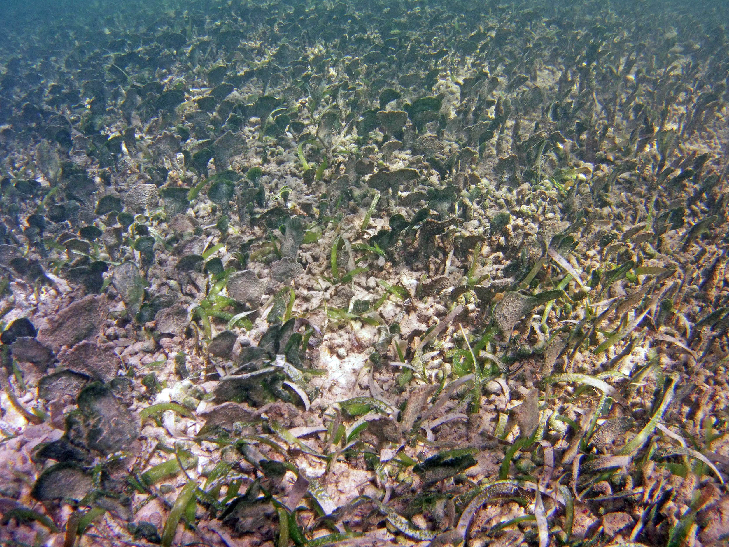
 2015 – #052 at approx 35 m |
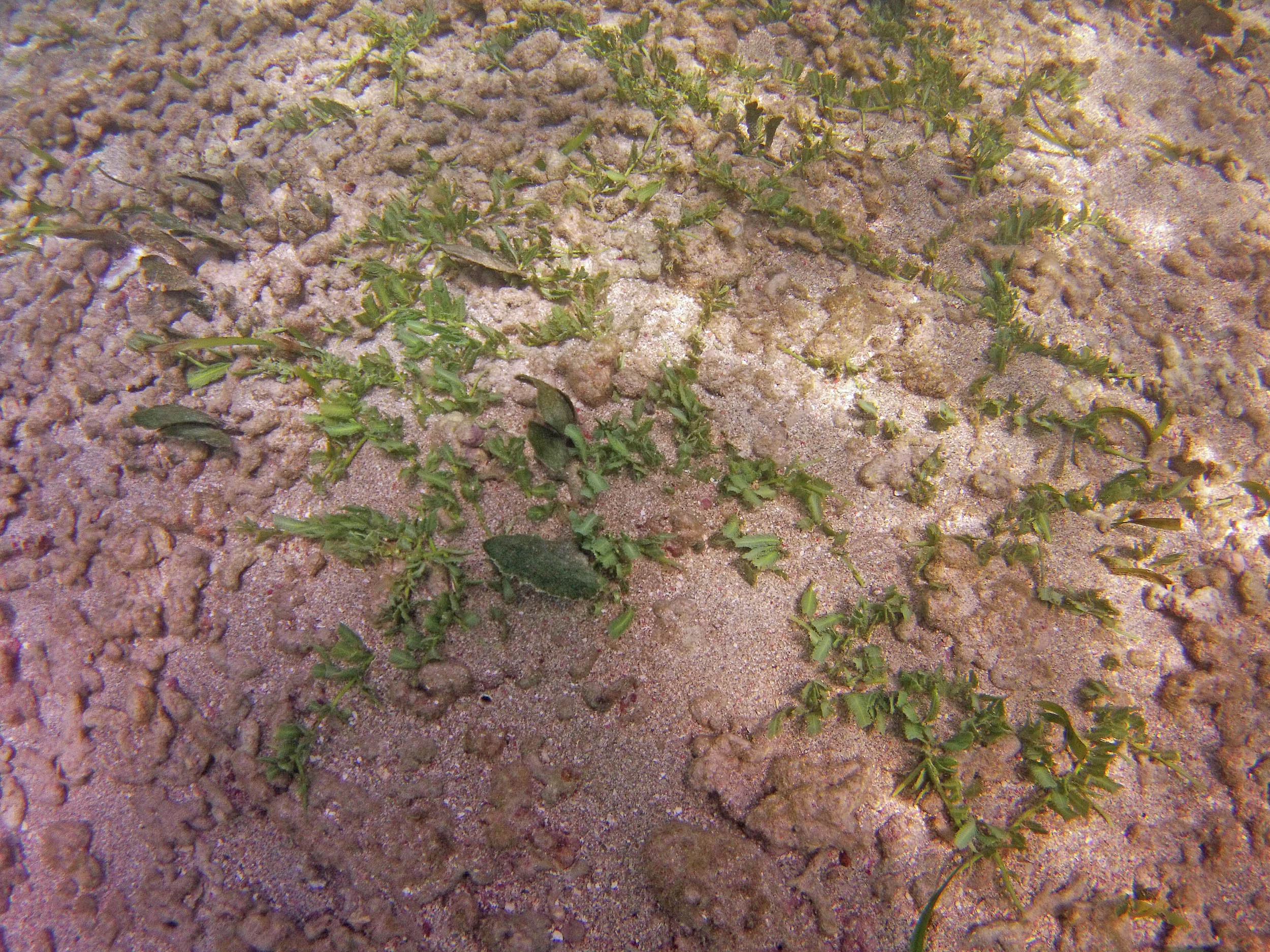
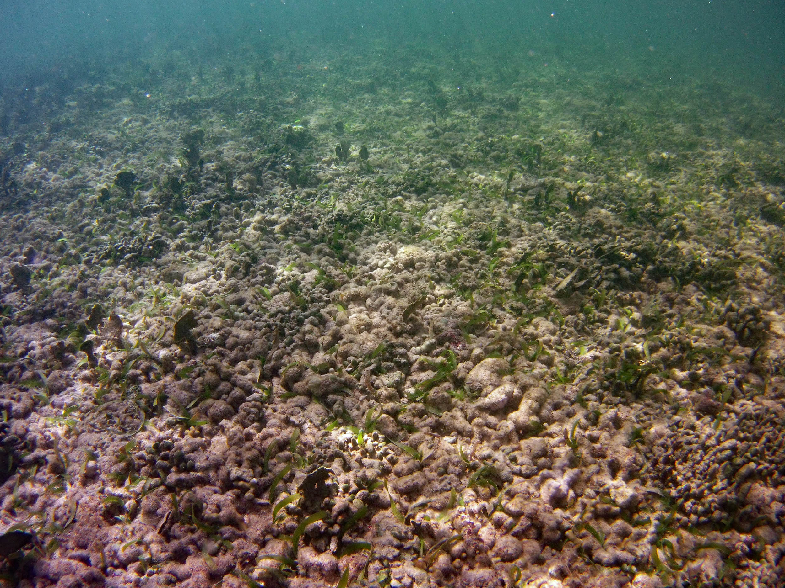
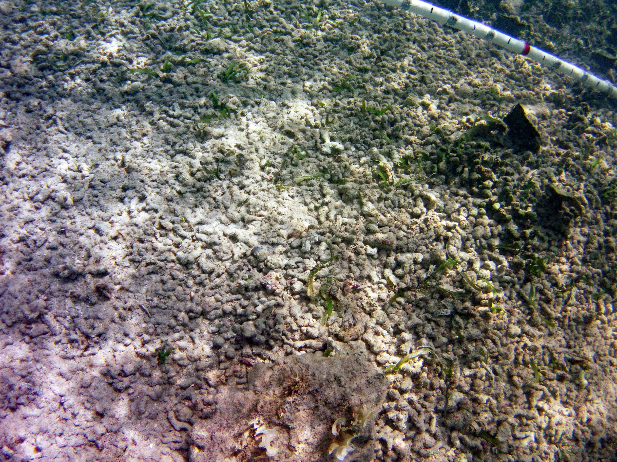
 2015 – #056 at approx 35 m |
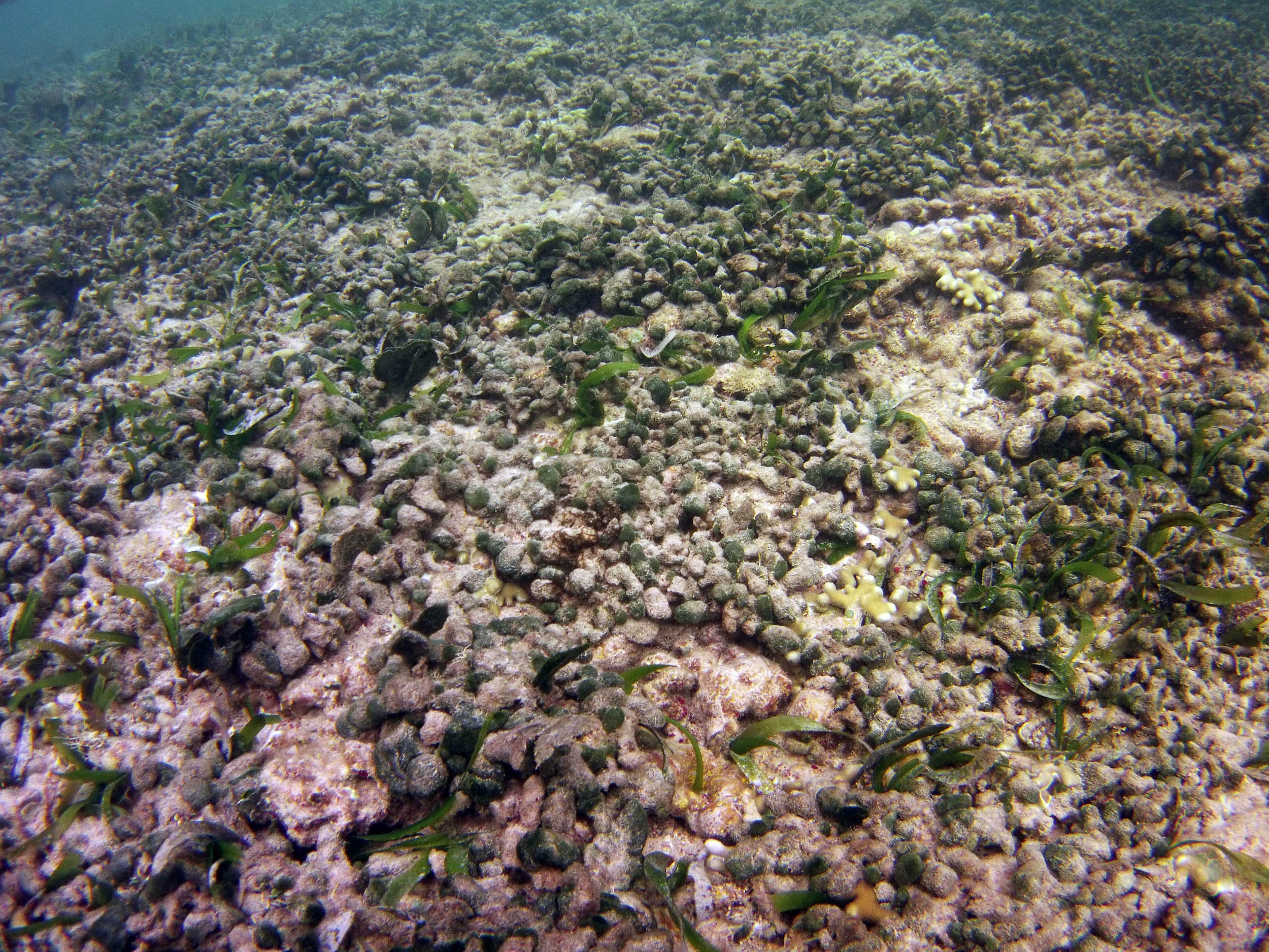
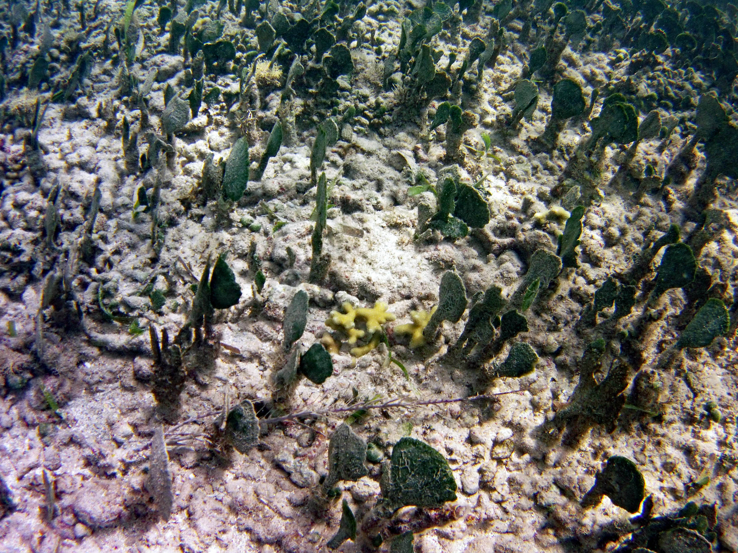
 2015 – #060 at approx 50 m |
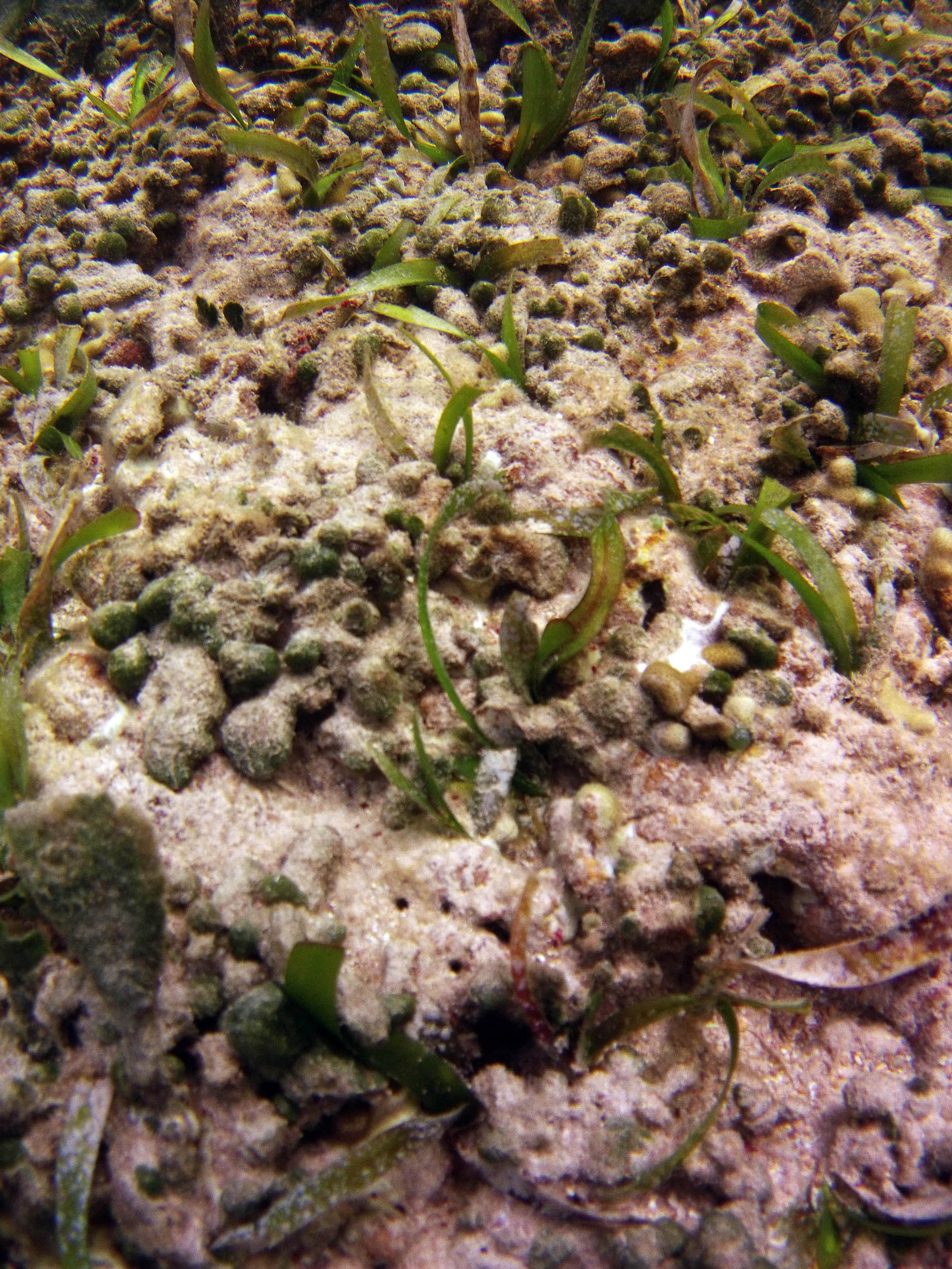
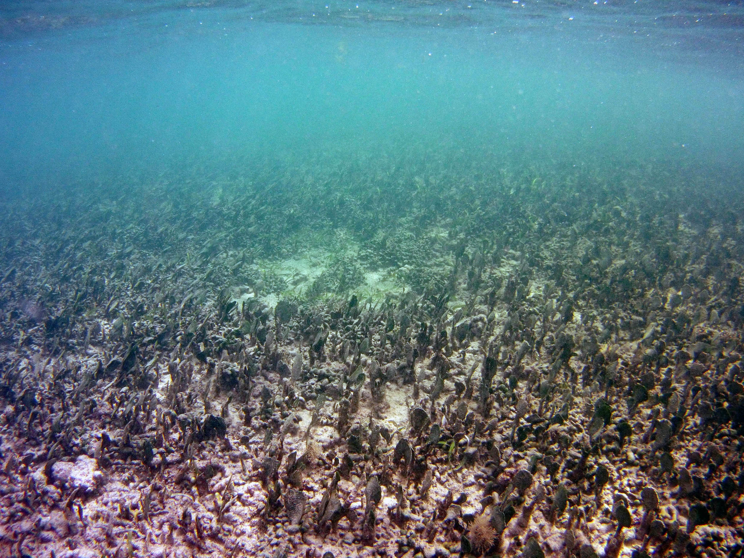
 2015 – #061 at approx 55 m |
 2015 – #071 at approx 75 m |
 2015 – #073 at approx 90 m. Caulerpa serularioides |
 2015 – #075 at approx 90 m |
 2015 – #081 at approx 100 m |
 2015 – #089 at approx 105 m |
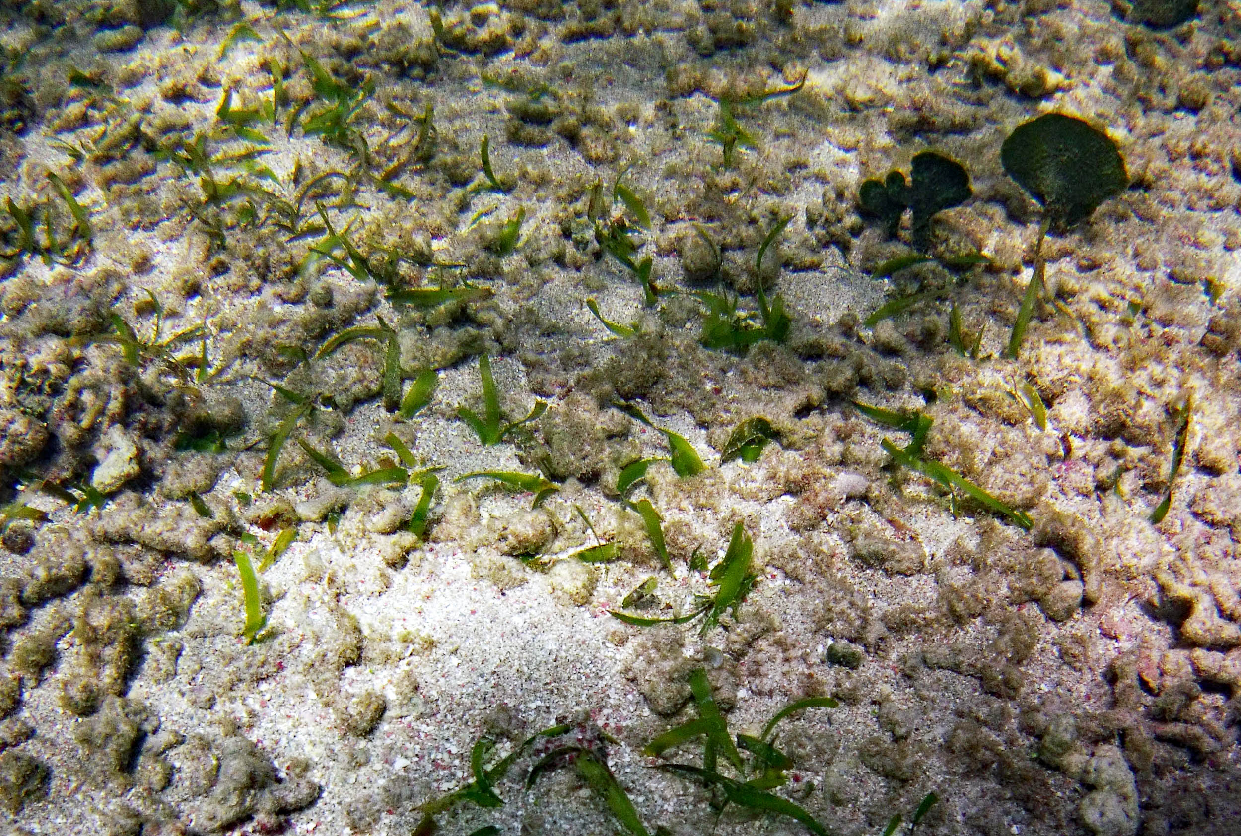
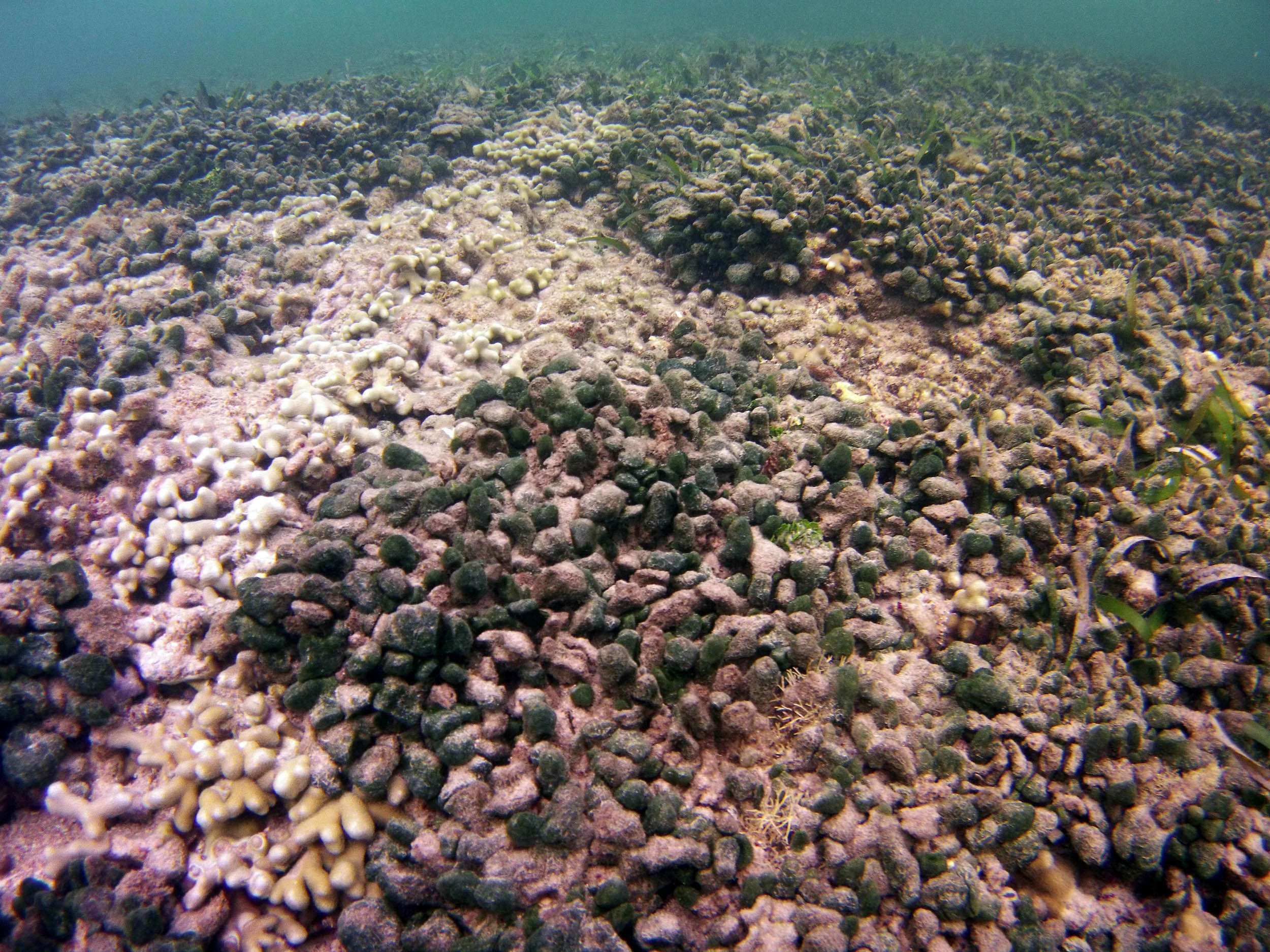
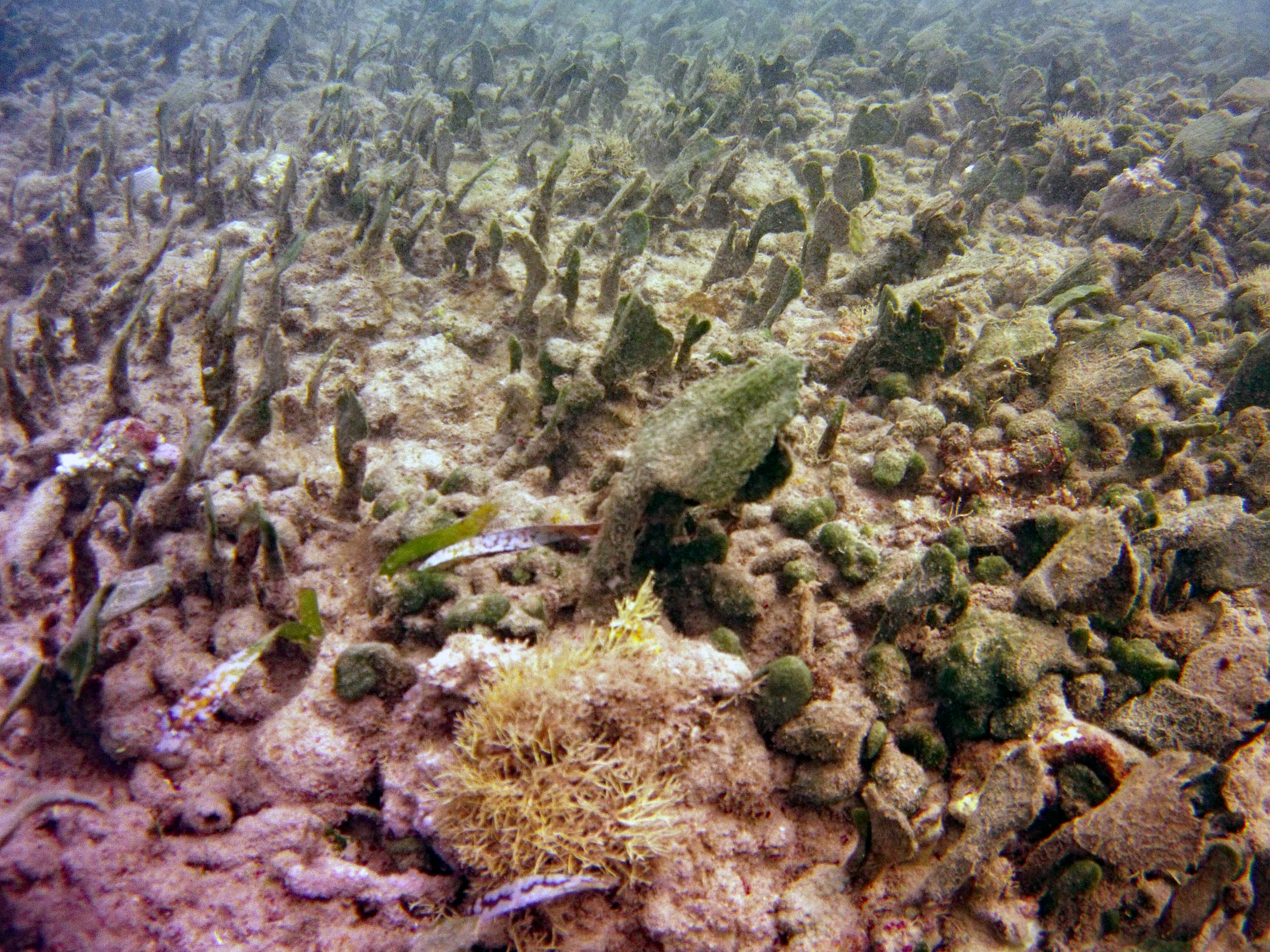
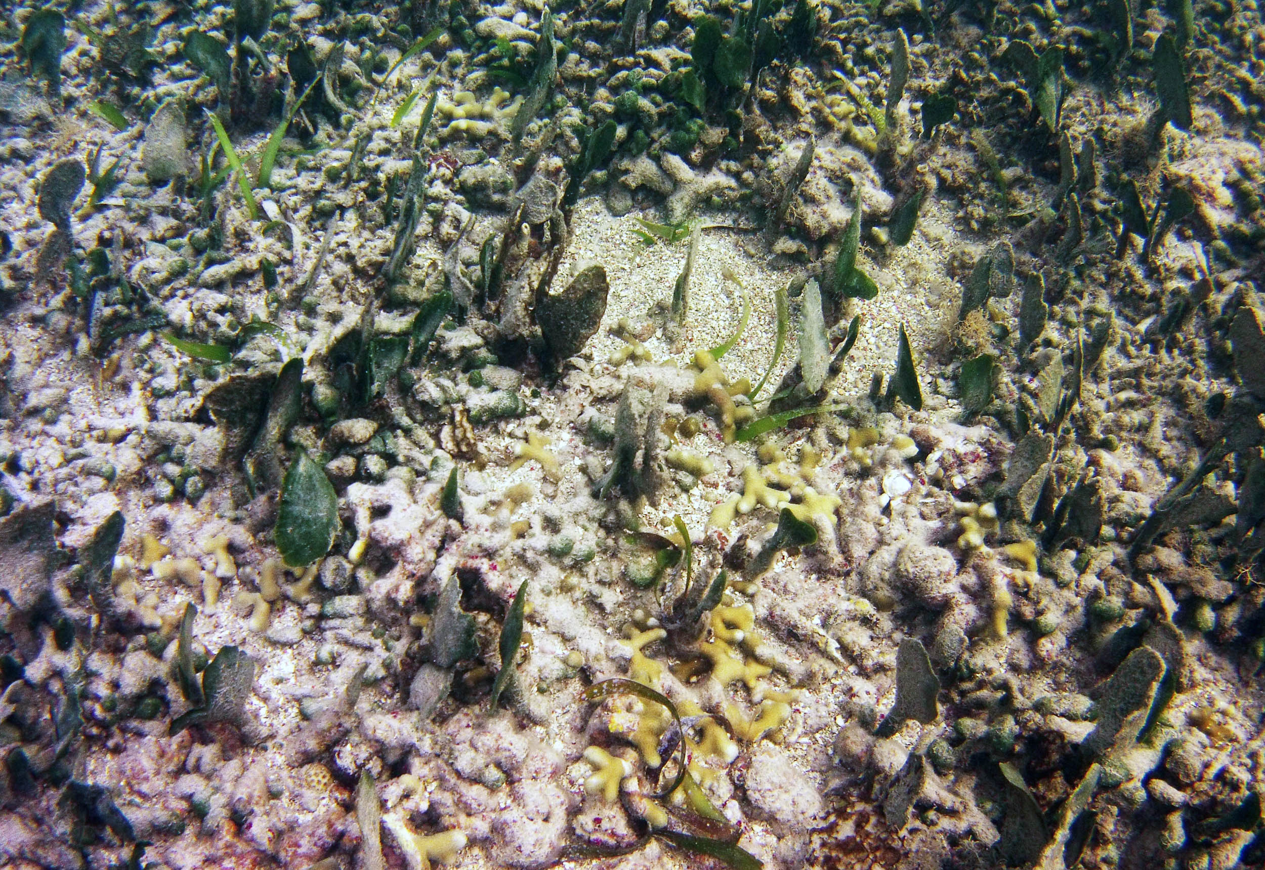
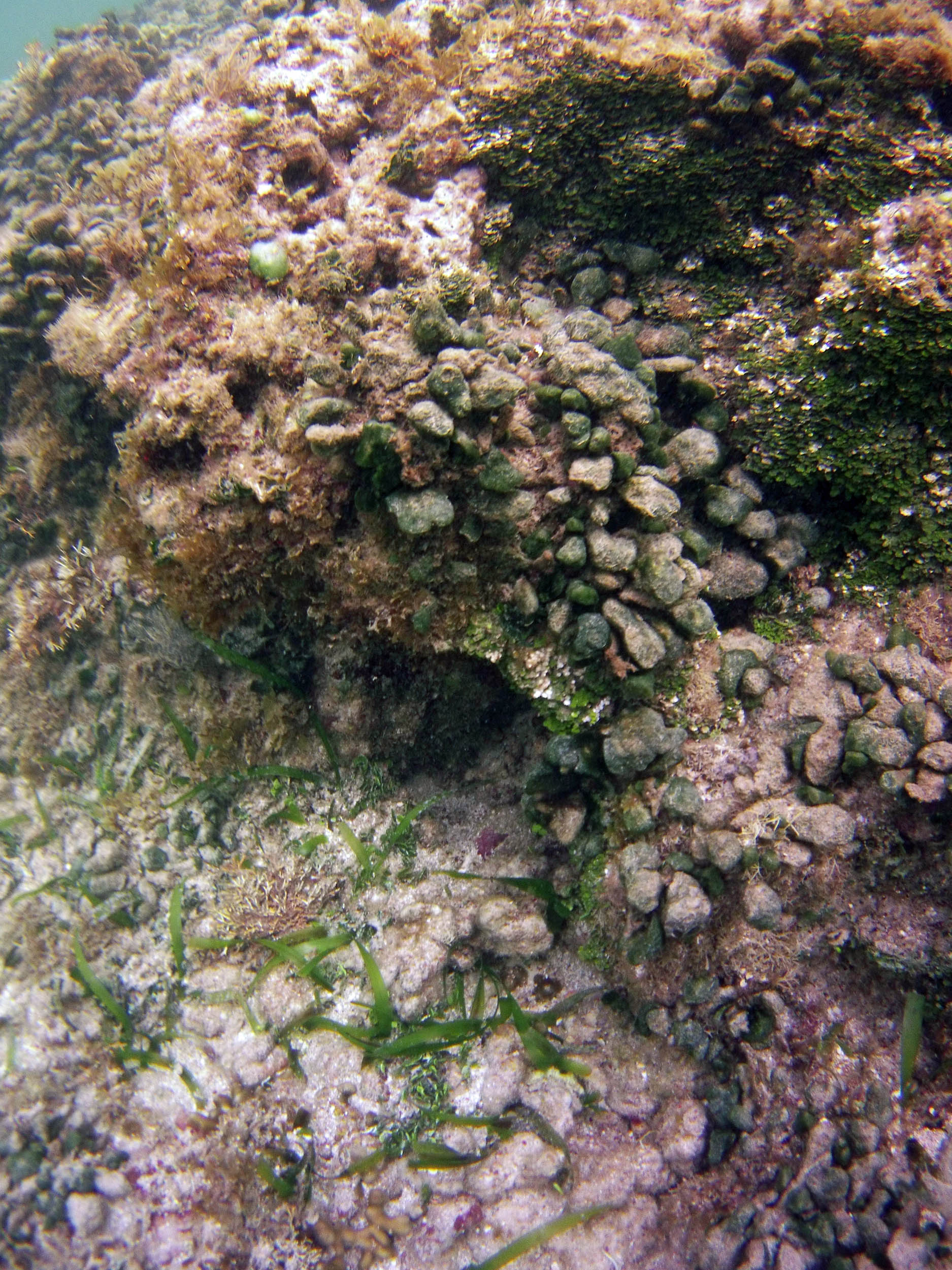
 2015 – #096 at 110 m |
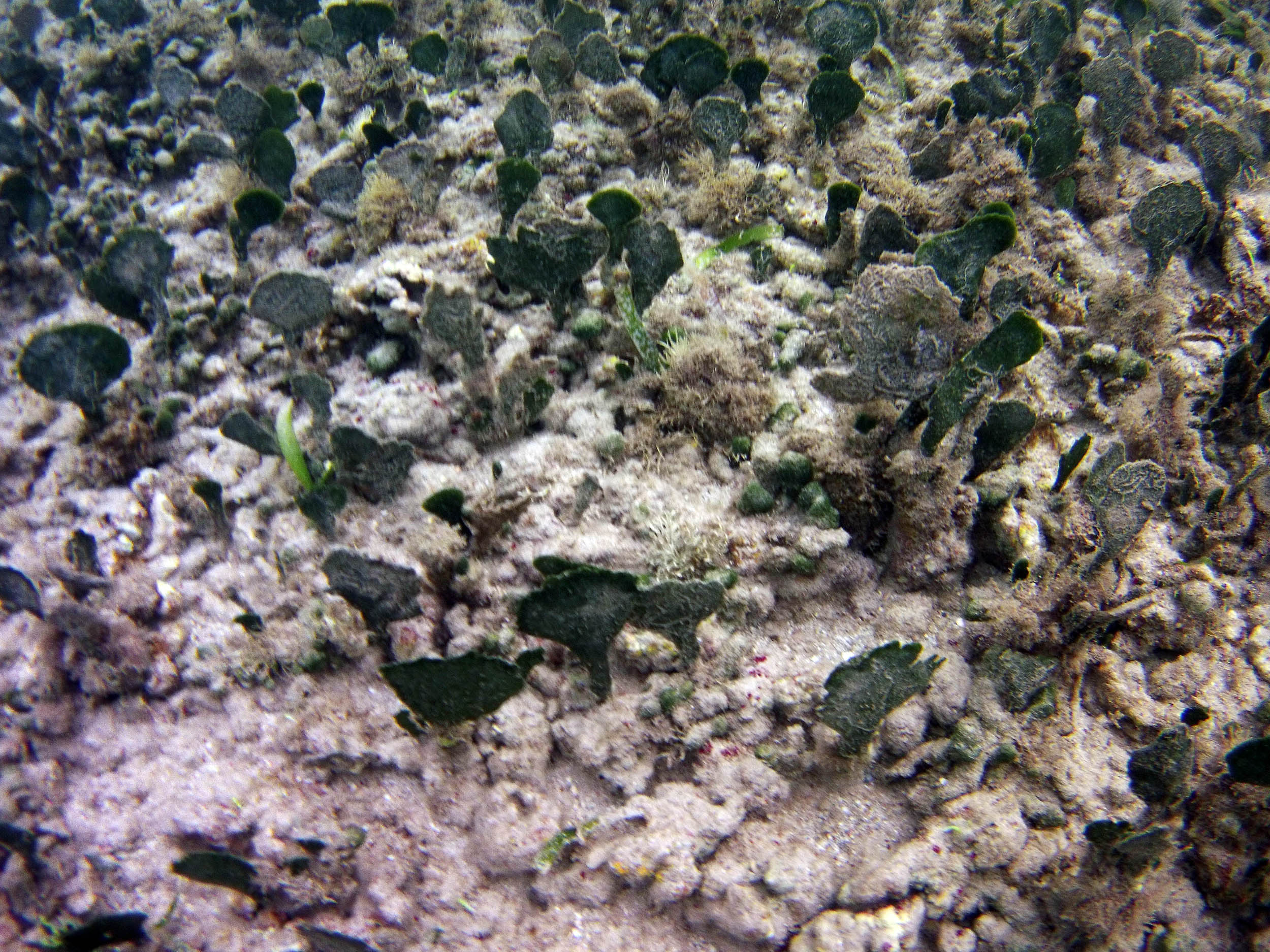
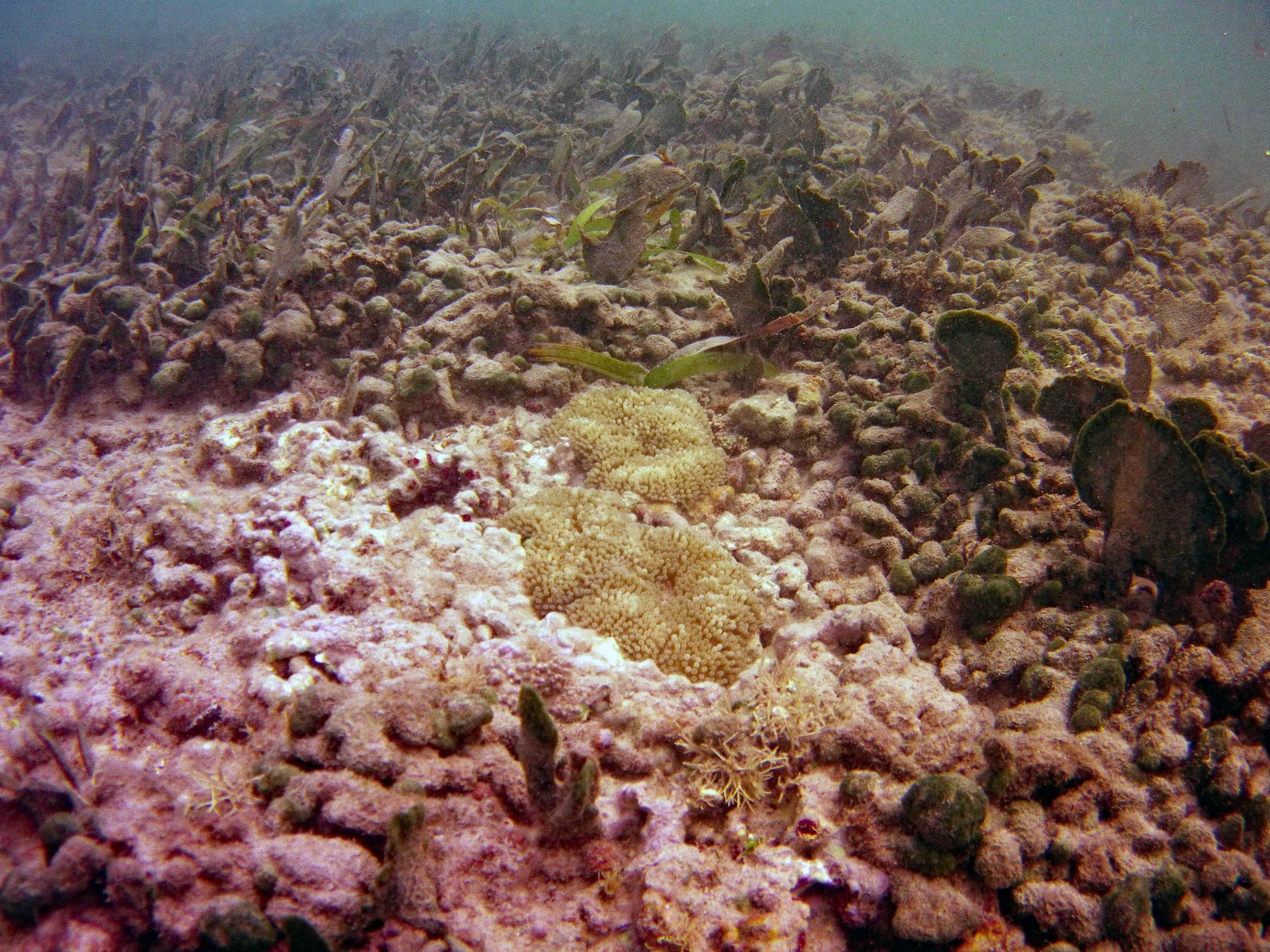
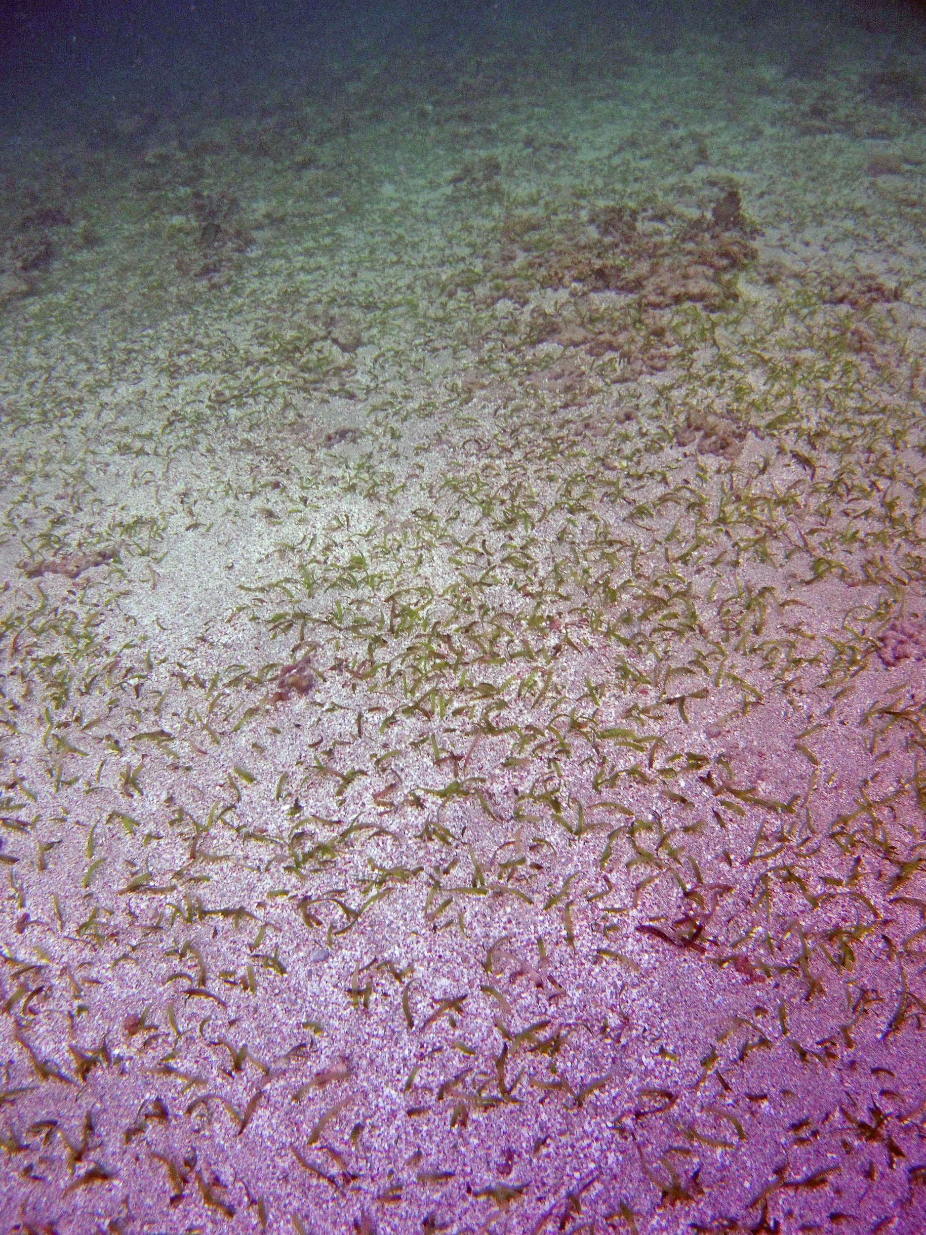
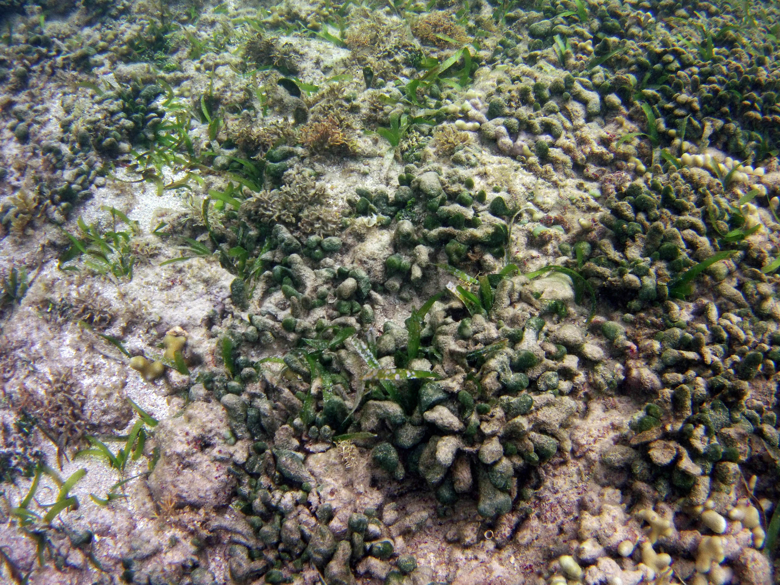
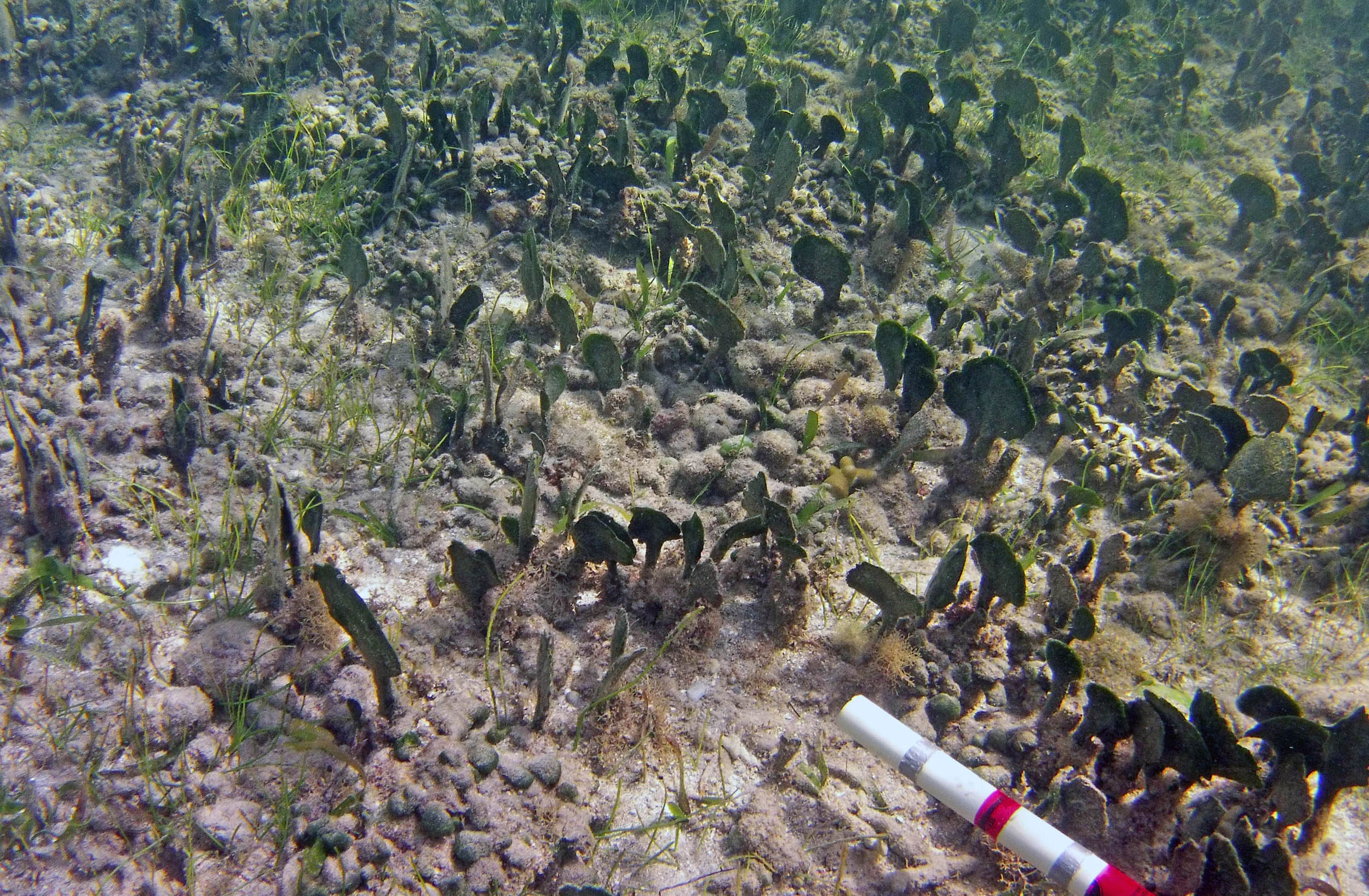 2015 – #100 at approx 110 m |
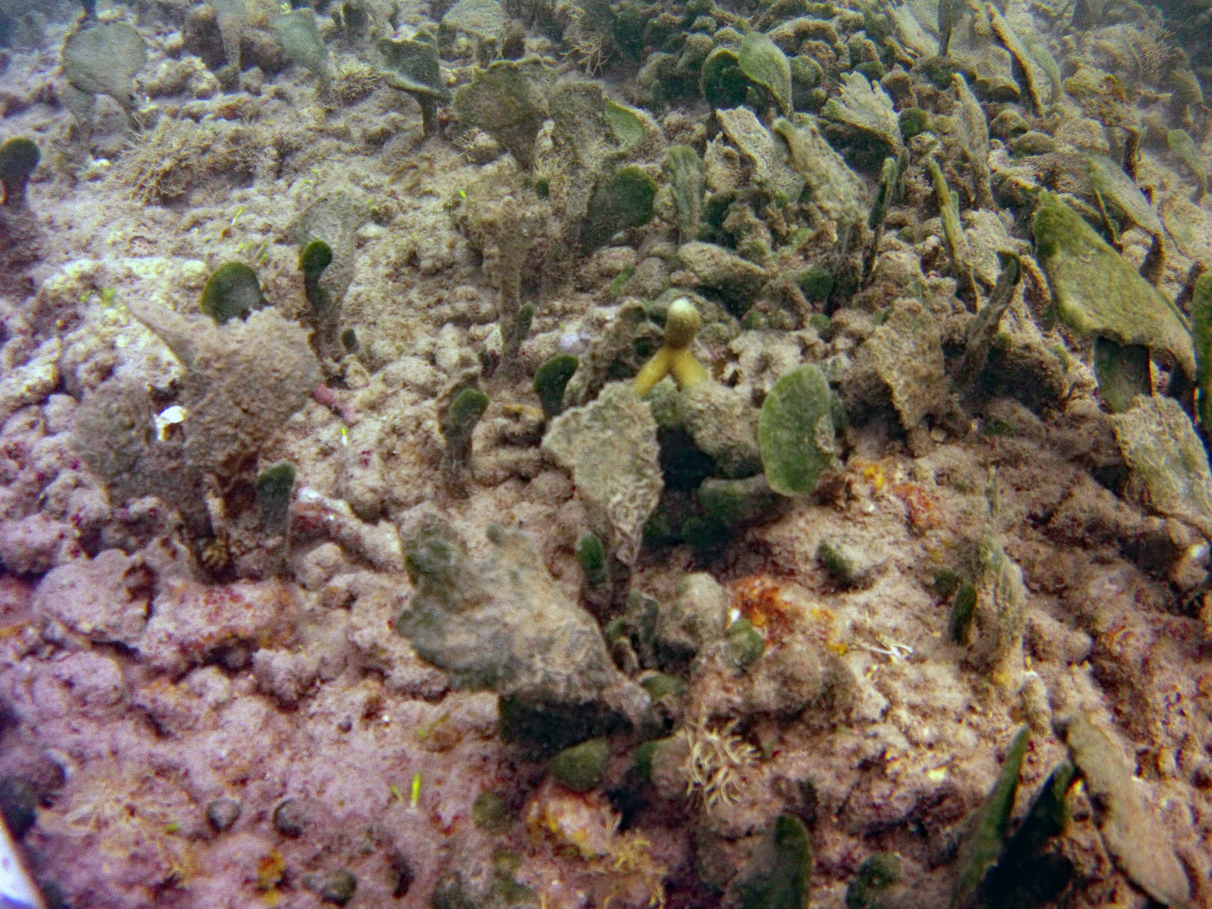
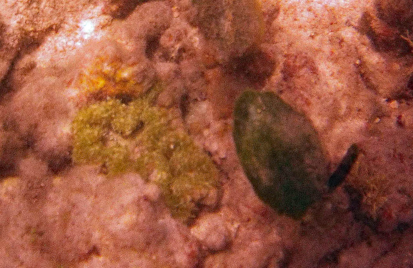
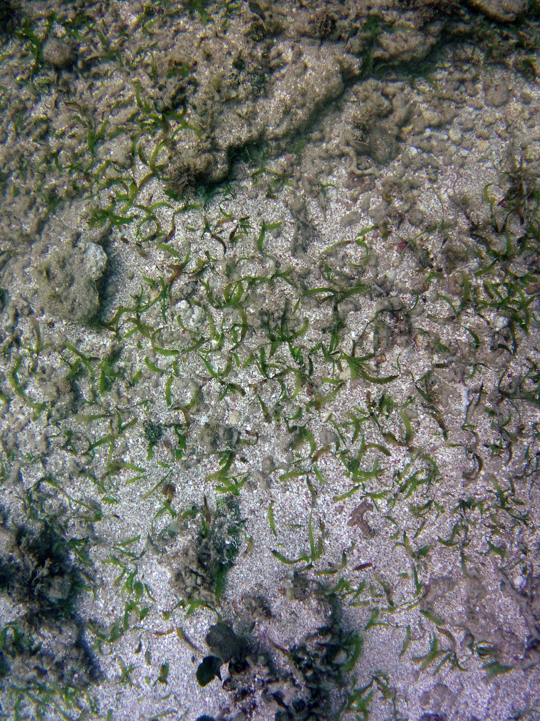
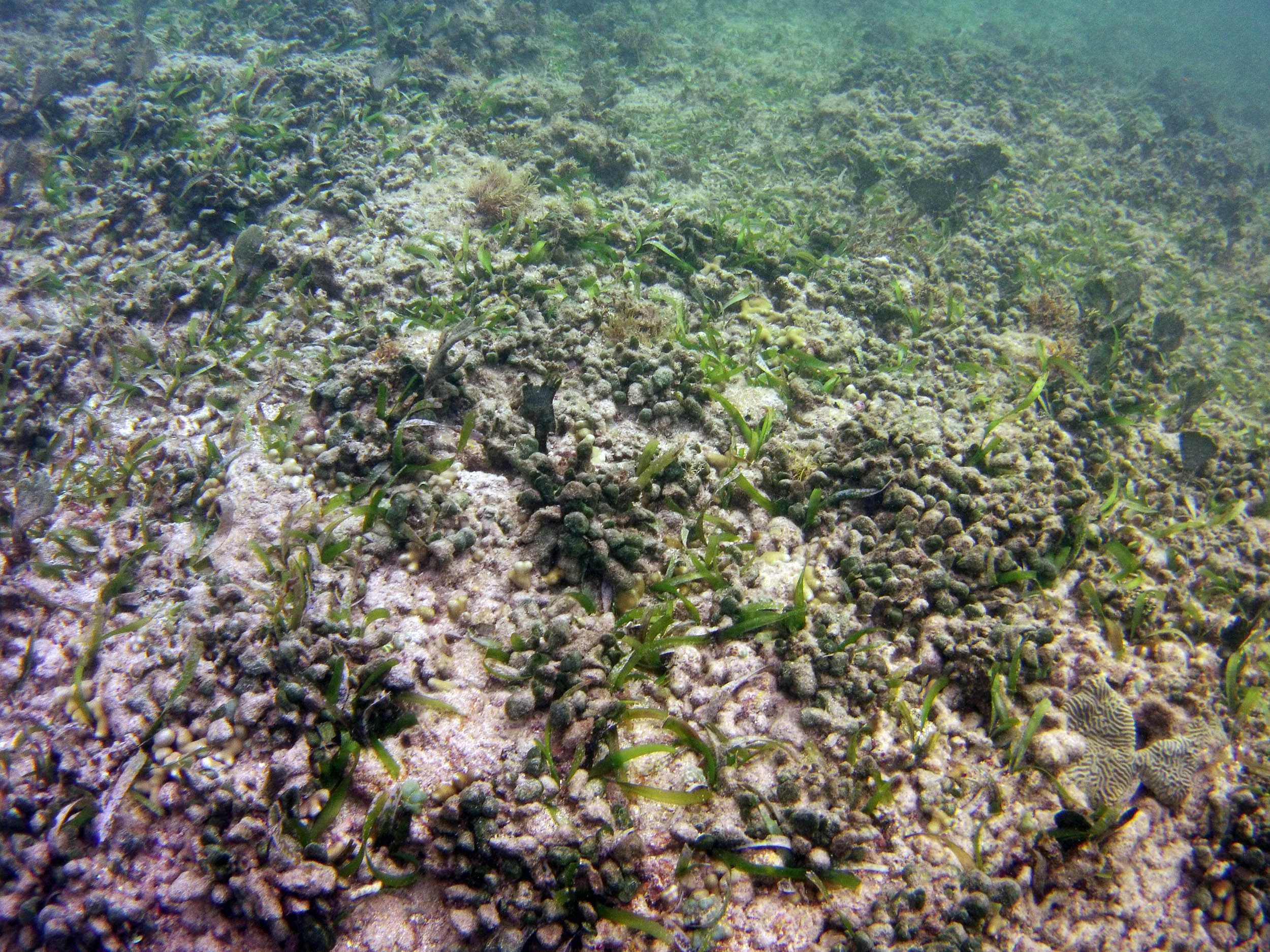
 2015 – at approx 110 m |
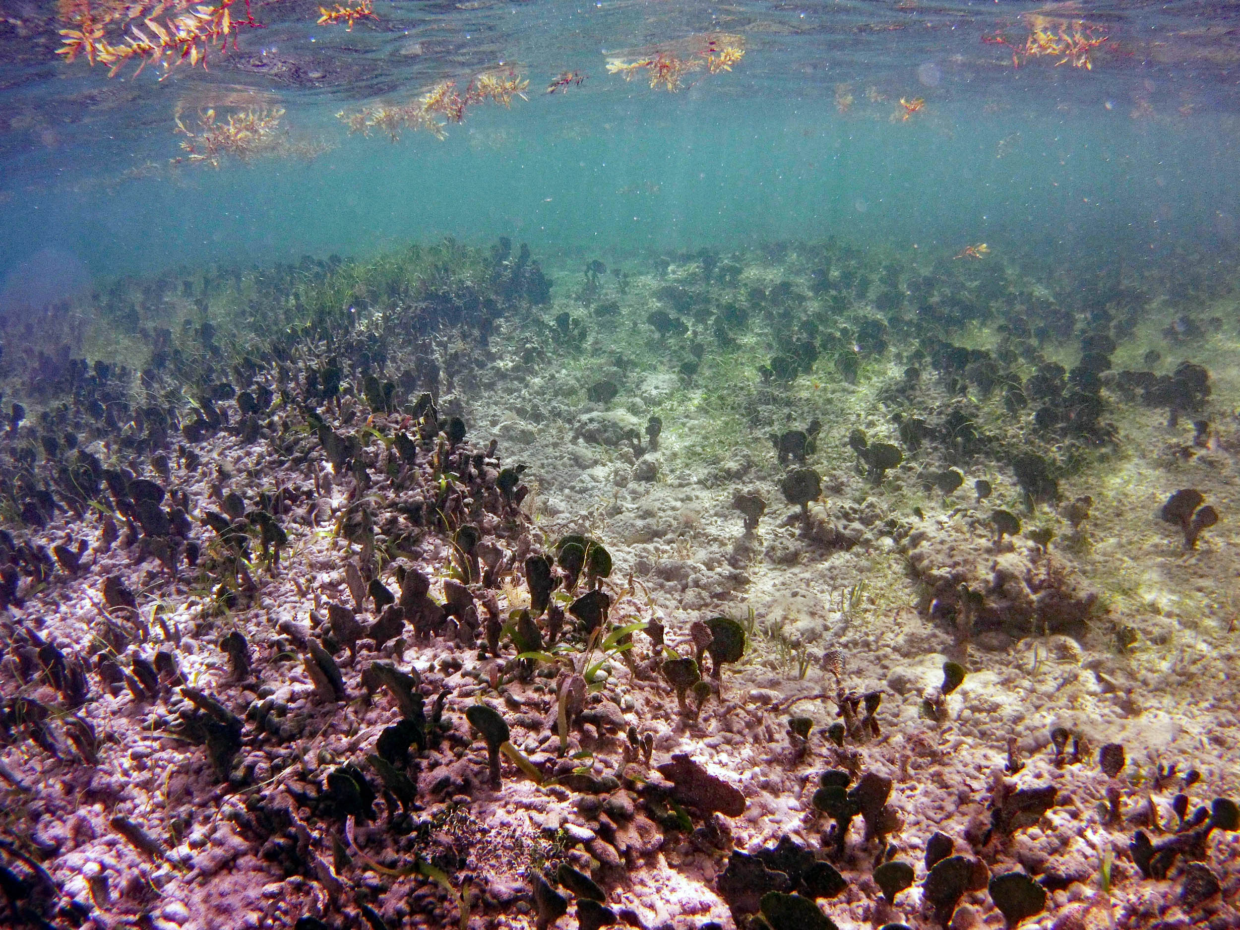
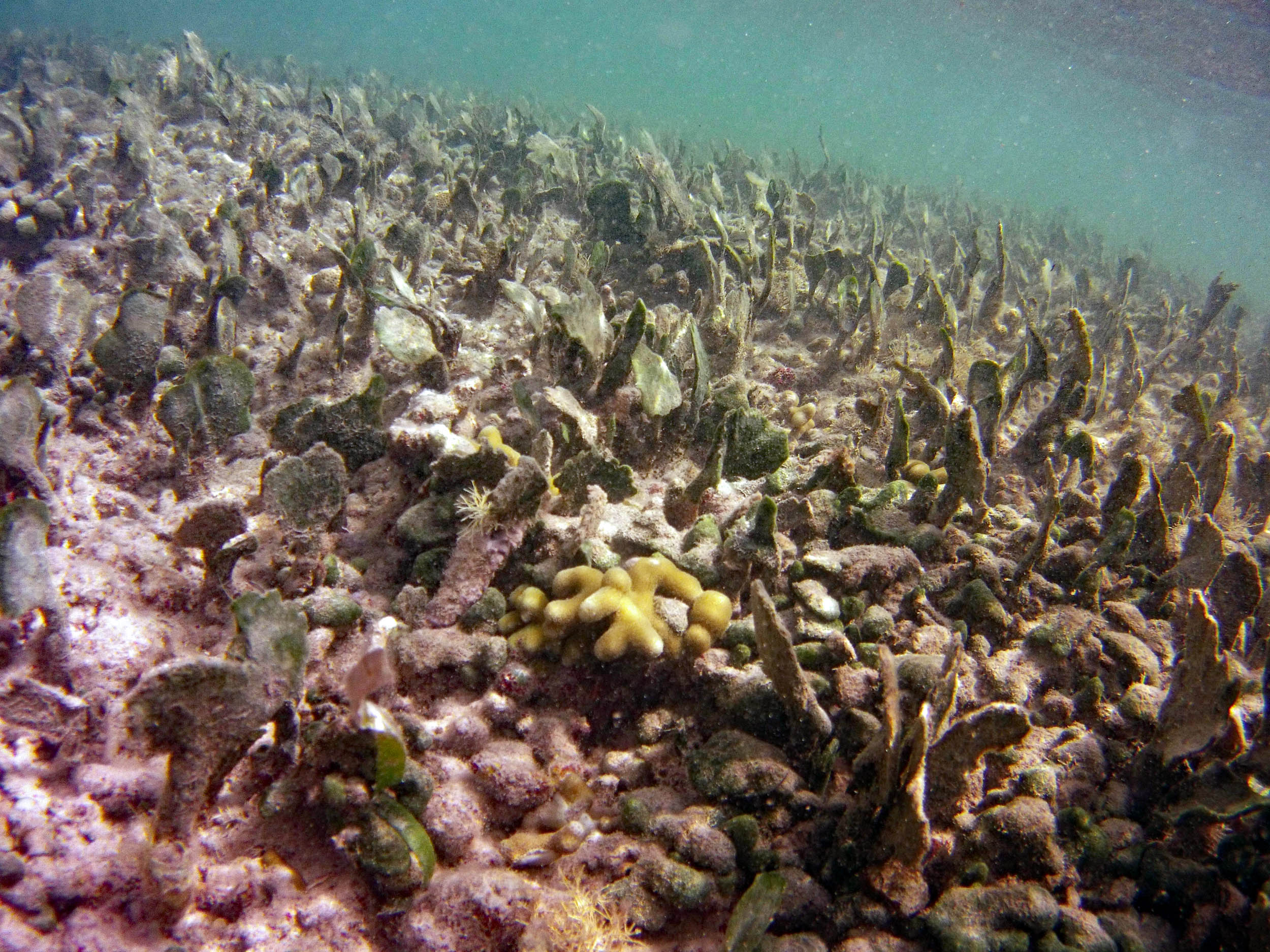
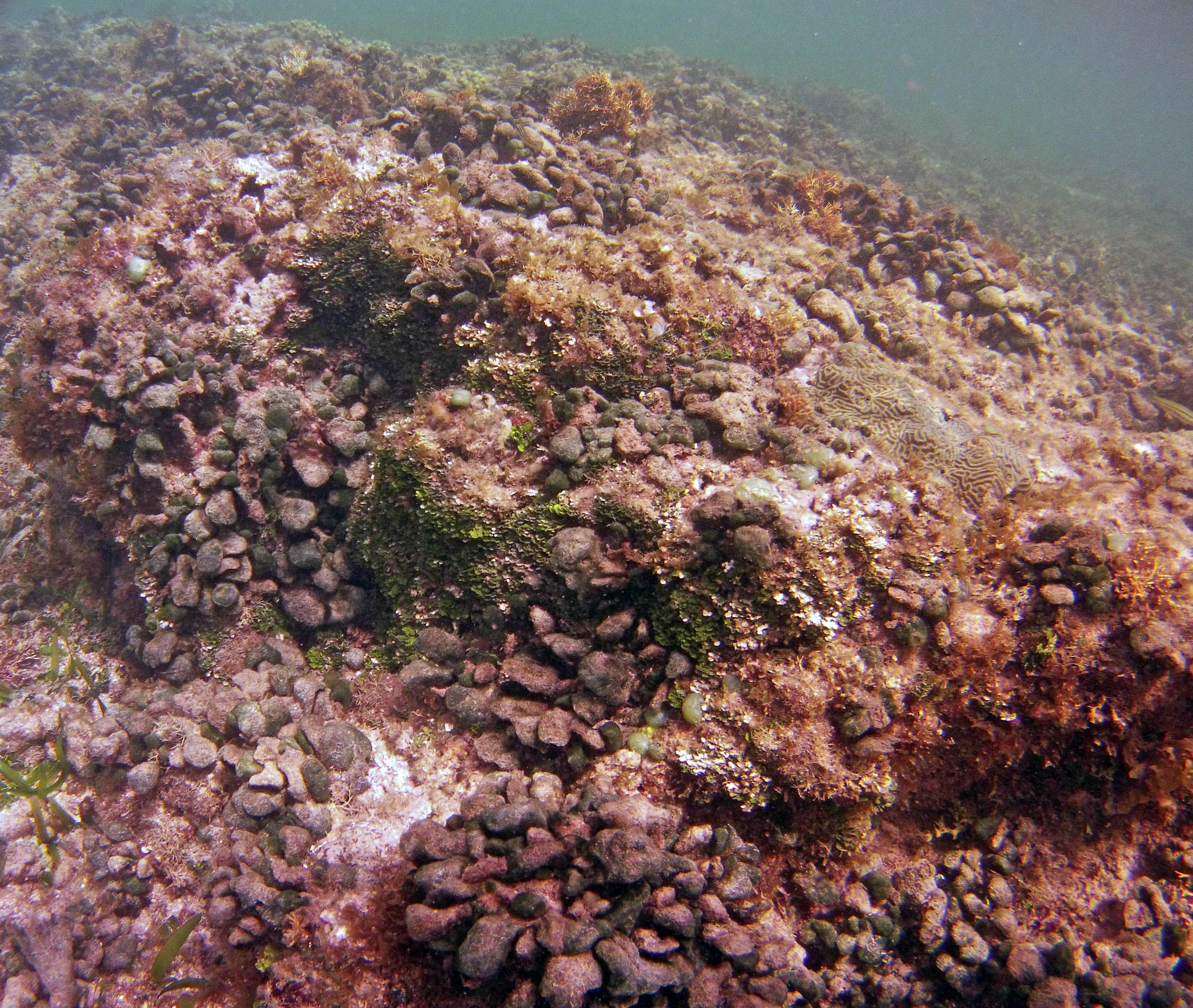
 2015 – #123 at approx 165 m |
 2015 – #0129 at approx 170 m |
 2015 – #136 at approx 170 m |
 2015 – #141 at approx 170 m |
Transect 1-N
Photos on Feb 11, 2015
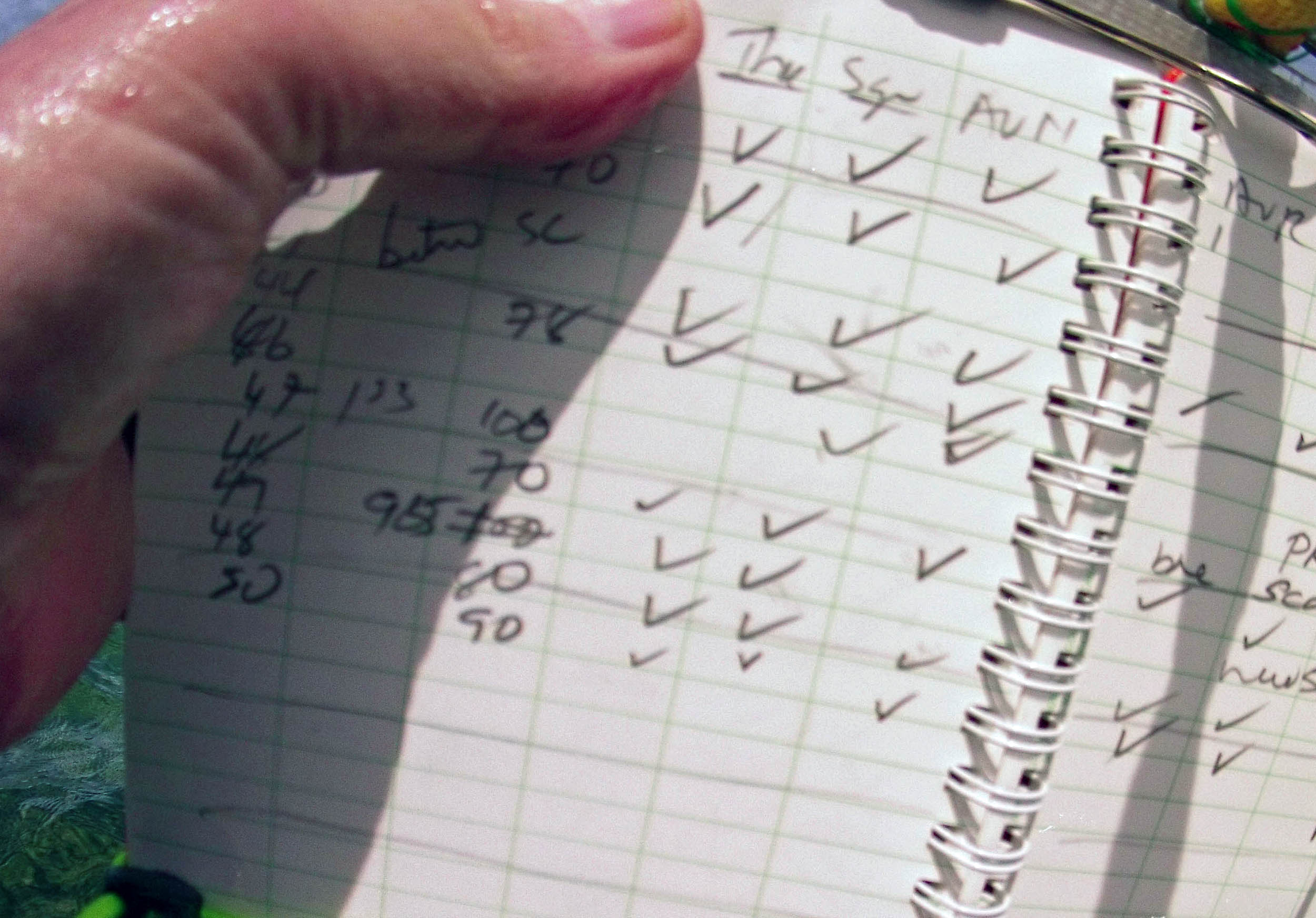
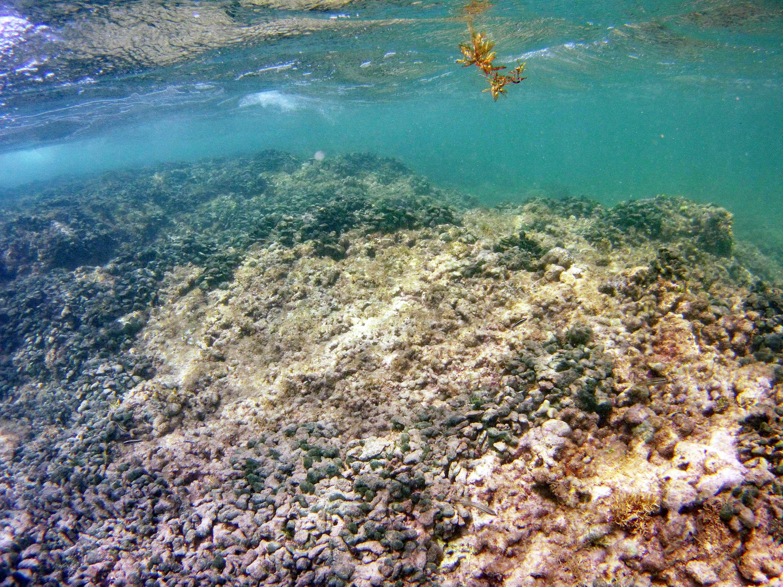
From the field notes for the Transect at the final point on the transect (85S, 187 m): “A lot of rubble cemented together Pf [Porites furcata] etc PHOTOS*** 468-519 series, 509 on way back” The only photos that are retrievable are those below, most at 85S.
 2015 – #468 at approx. 187 m |
 2015 – #473 at approx. 187 m |
 2015 – #481 at approx. 187 m |
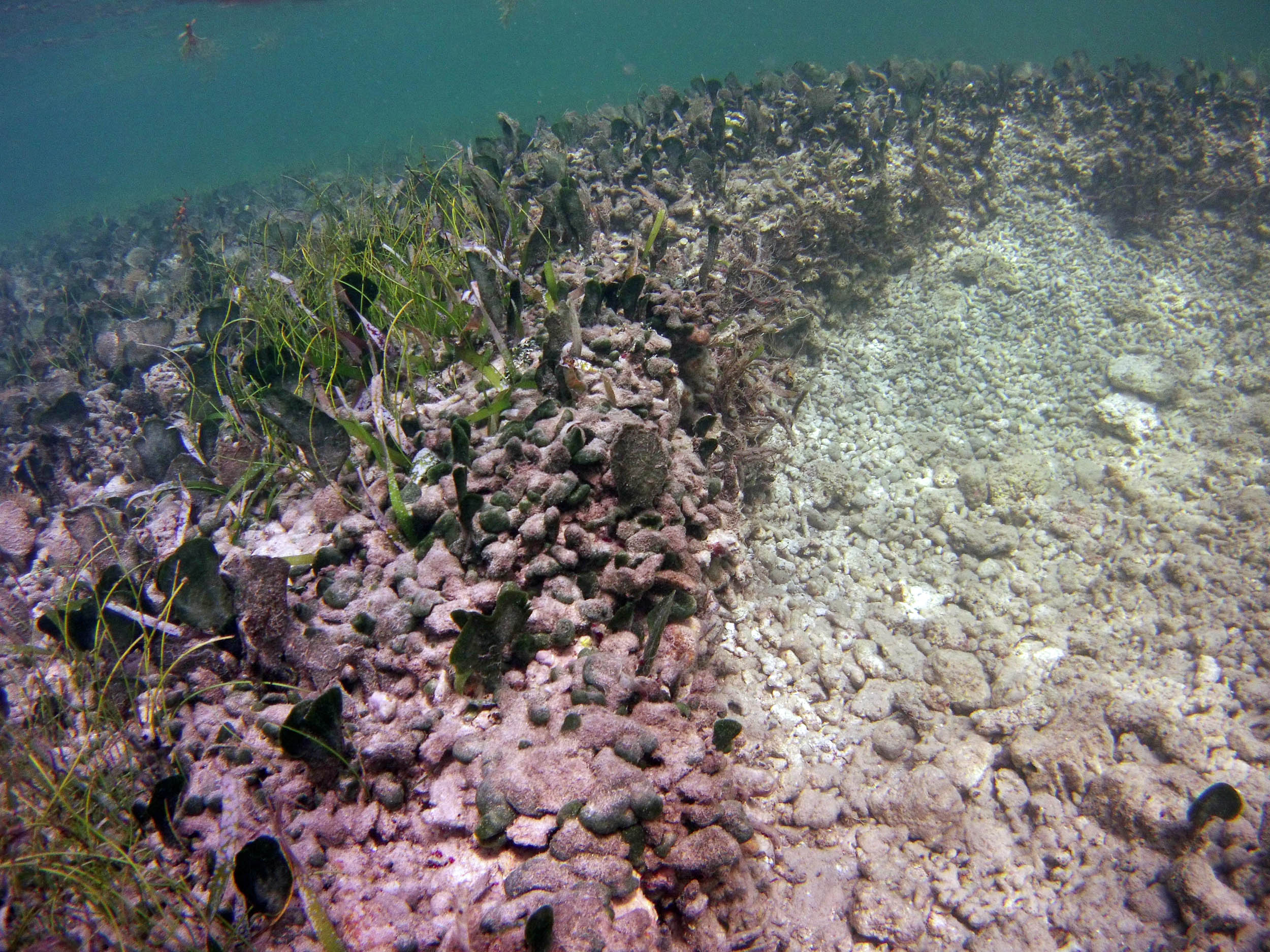
 2015 – #509 “on the way back; guesstimate: at 175 m Field Book: “71-85 S depth 70 cm, Av. stabilized, shallowing |
Transect 2-N
Photos on Feb 11, 2015
 2015 – #398 |
 2015 – #399 at 39S/87 m |
 2015 – #401 at 39S/87 m |
 2015 – #409 at 42S/92 m “Sand Anemone” |
2015 – #415 at 42S/92 m A second “Frilly Anemone”
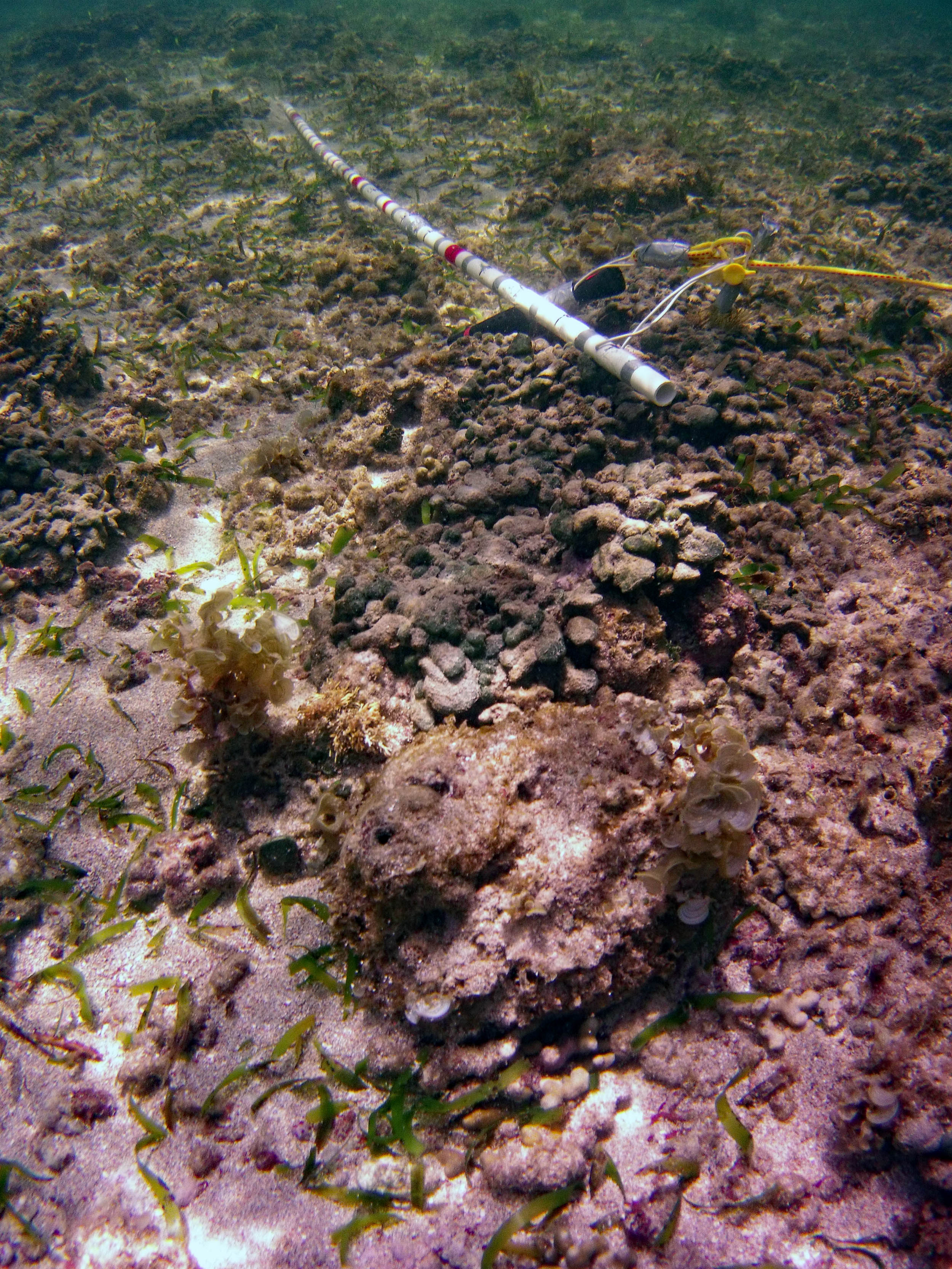
 2015 – #422 “Avrainvillea stabilized rubble at 43S/95 m |
 2015 – #428 at approx 100 m |
 2015 – #430 at approx 105 m |
 2015 – #447 at 49S/108 m |
 2015 – #448 at approx 108 m |
 2015 – #451 at approx 116 m |
 2015 – #455 |
 2015 – #456 |
 2015 – #458 at 83S/183 m |
 2015 – #459 at 83S/183 m |
 2015 – #464 at approx 187 m |
 2015 – #465 at 85S/187 m |