
| NAVIGATION This page is a sub-page Historical Imagery, that in turn a subpage of ObsBath, a top-level page on the website Barbados Fringing Reefs and Seagrass Beds (www.versicolor.ca/barbados). Go to ObsBath for a list of other subpages in this section of the website. 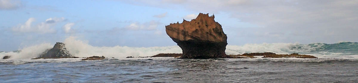 “Huge boulders of Pleistocene limestone, the work of long dead corals, take a battering in the breaker zone”. |
Subpages of Historical Imagery – Bath 1968-70 (This Page) – Bath 1994 – Bath 2005 – Bath 2011-i – Bath 2011-ii – Bath 2015-i – Bath 2015-ii – Bath 2015-iii – Bath 2017 – Bath 2024/5 |
The underwater photos were taken with a film camera (Nikonos) in 1968 and 1969; later scanned. More to come.
Click on images for larger versions
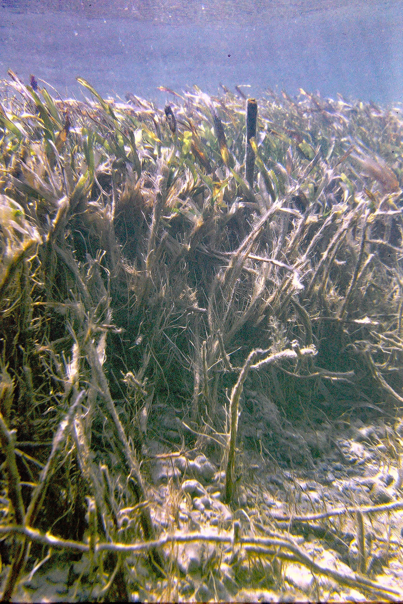
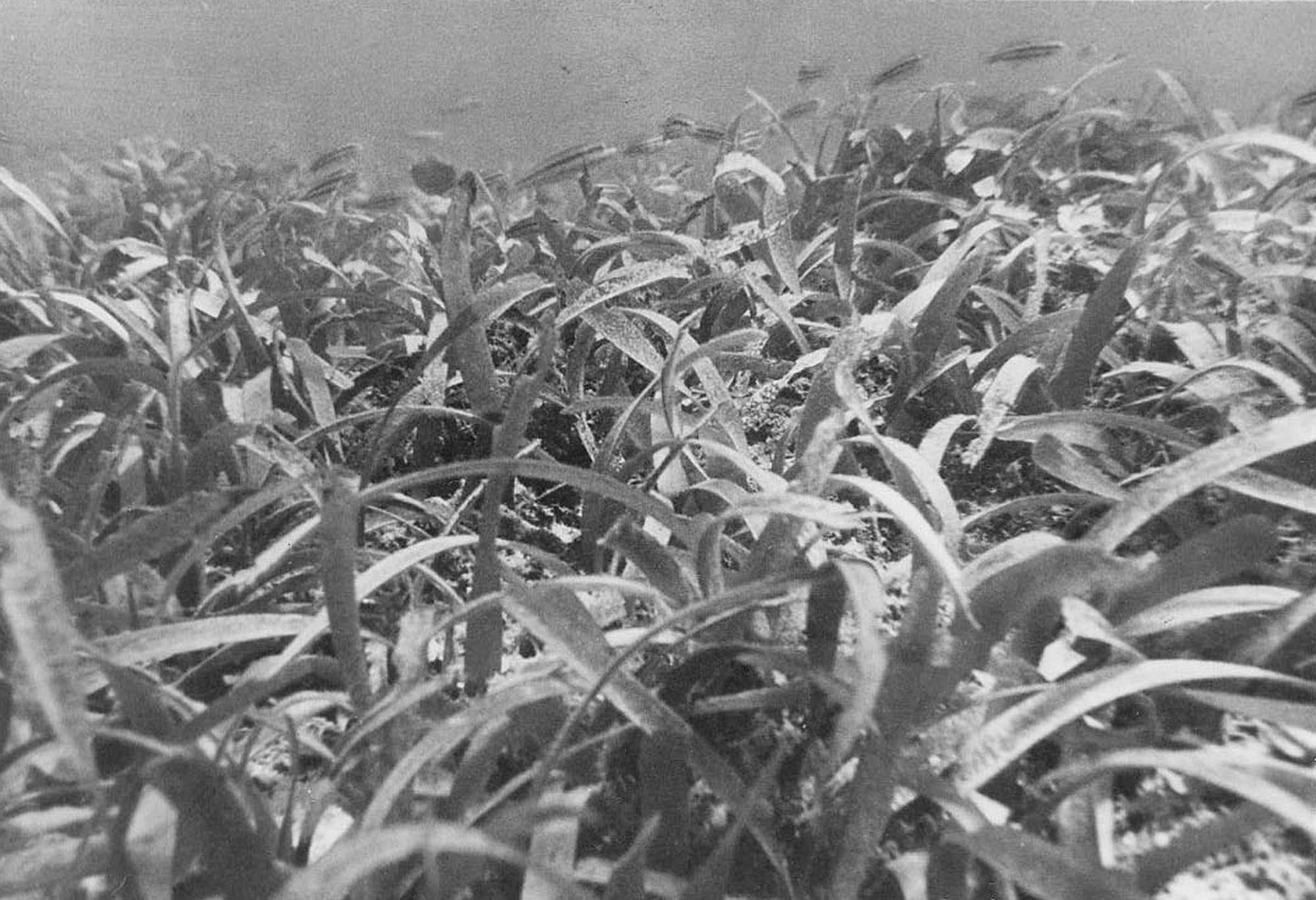 Typical Thalassia testudinum stand. Leaves approximately 25 em height. |
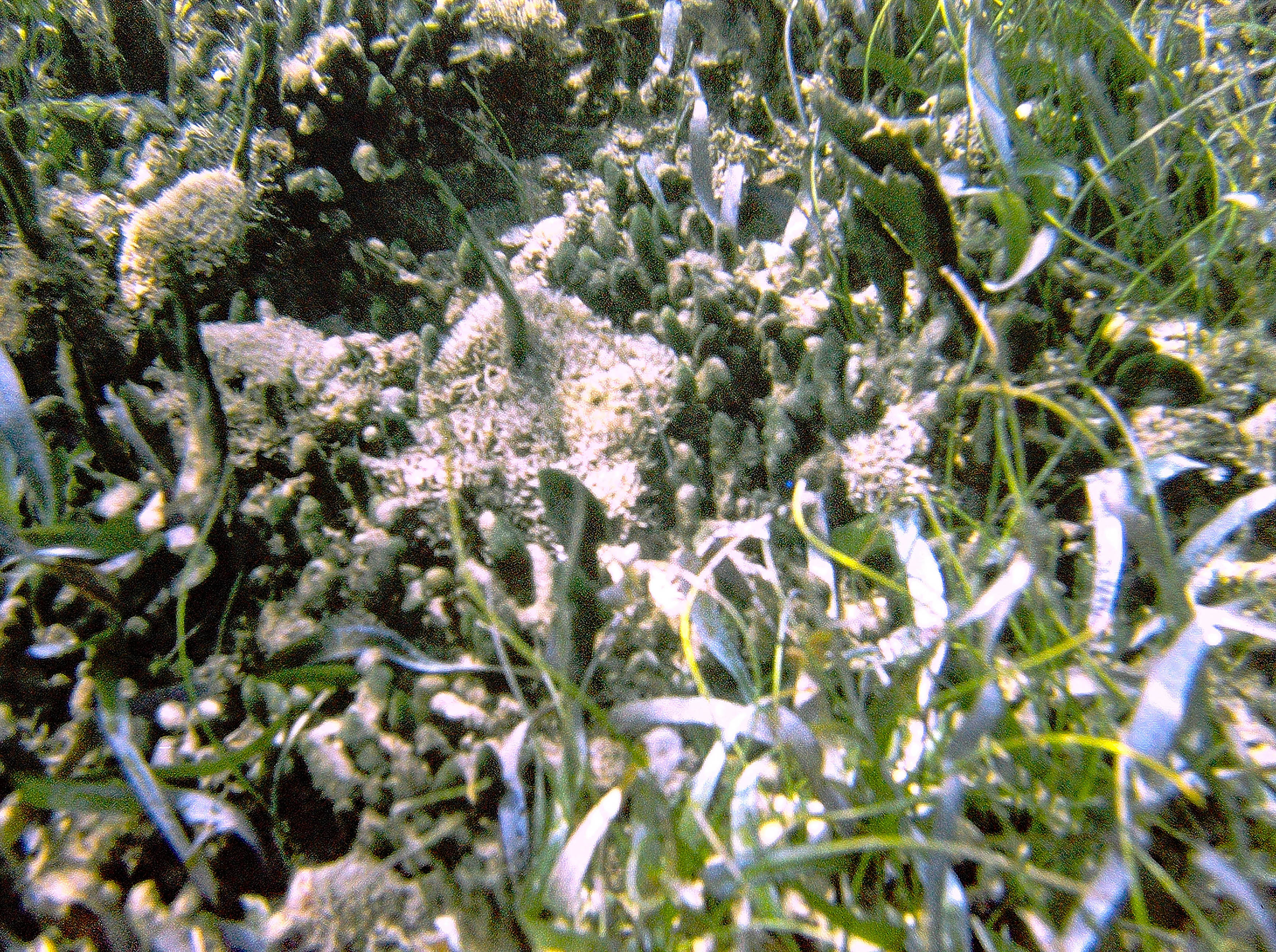
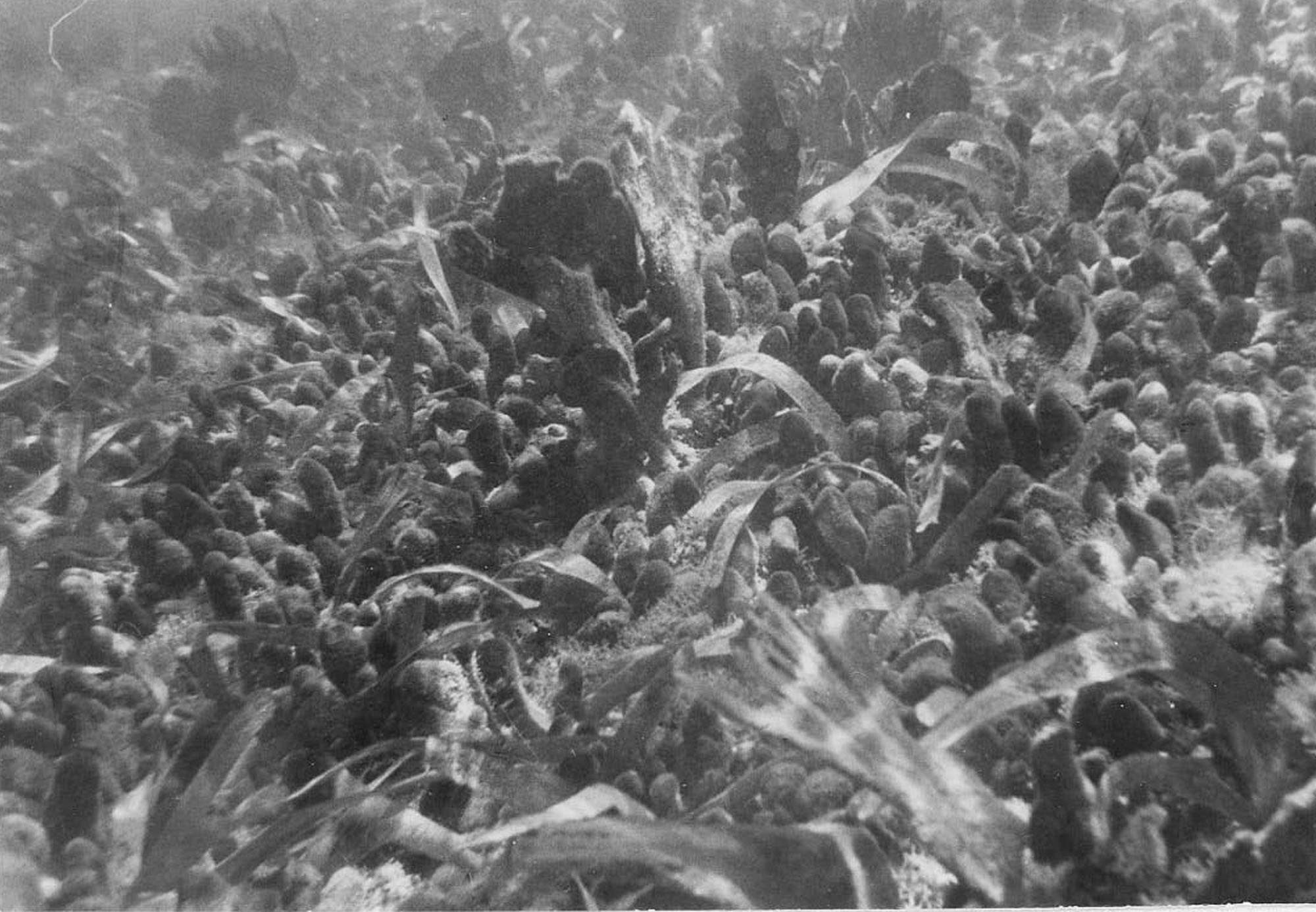 T. testudinum stand overgrown by Avrainvillea rawsonii and Avrainvillea nigricans. The flabellate alga (A. nigricans) is approx 15 cm height. |
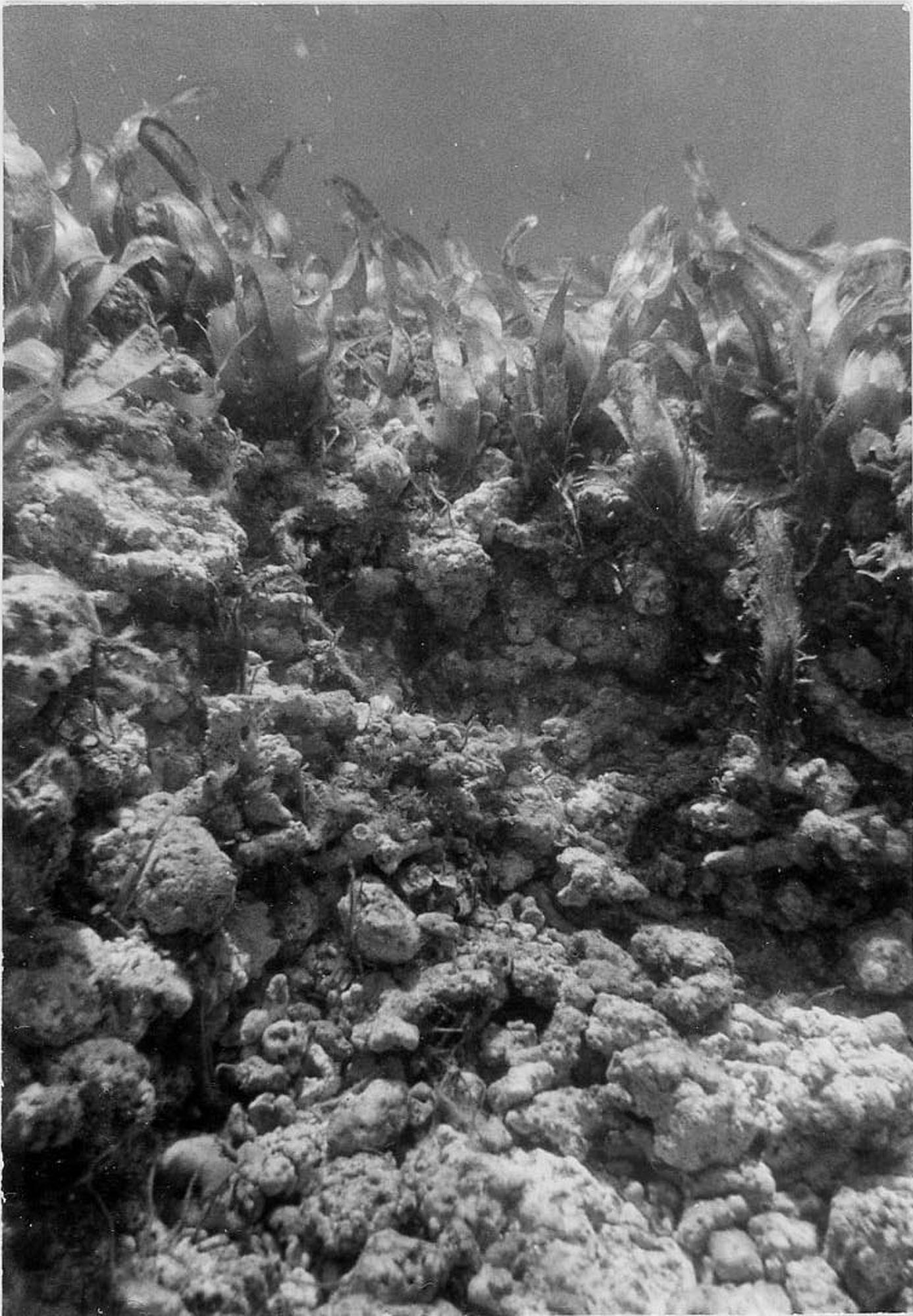 Erosional scarp in cobble framework substrate area. Approximately 0.5 m relief |
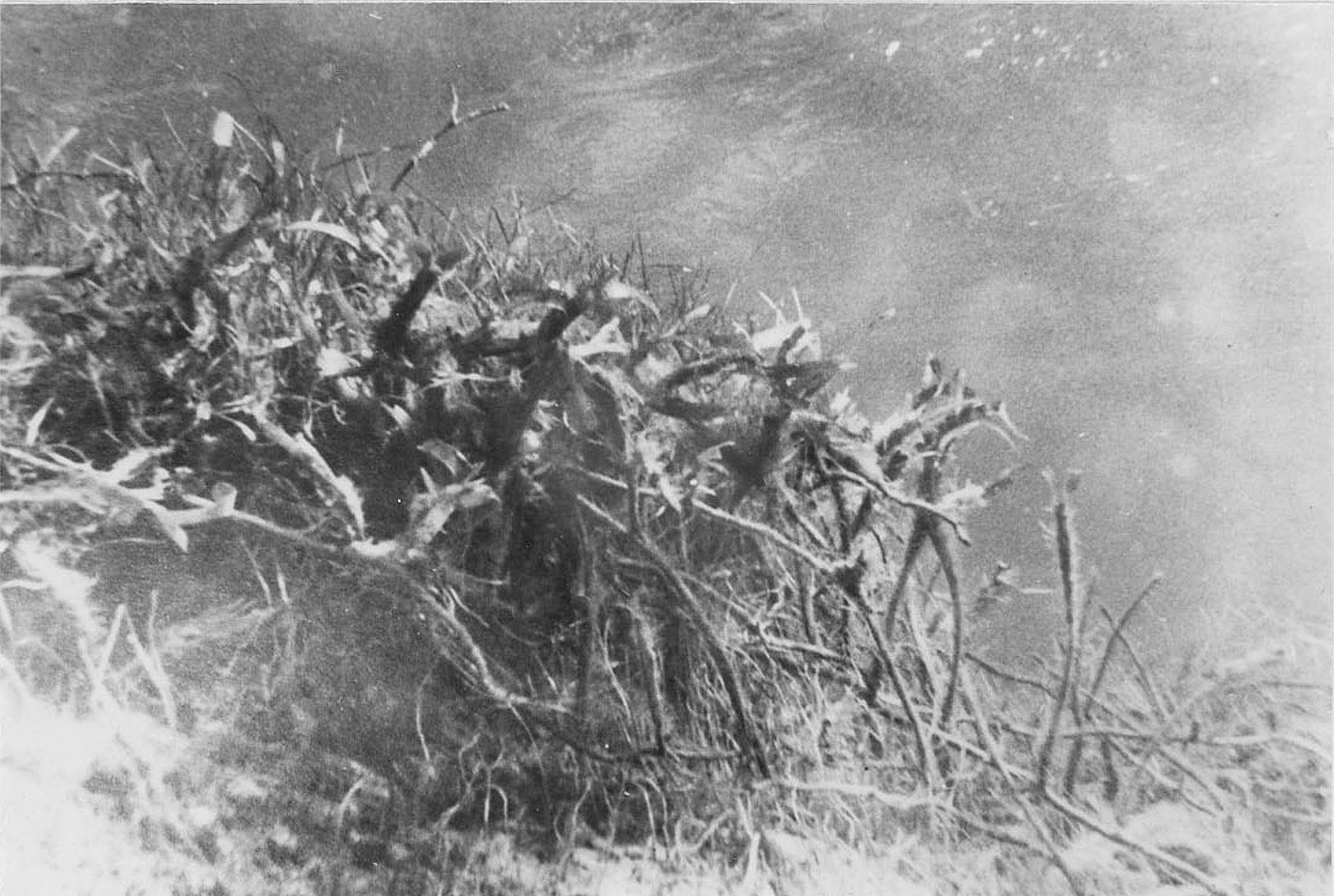 Erosional scarp in predominantly sand substrate area. Long unbranched erect shoots of T. testudinum are approximately 25 em length. |
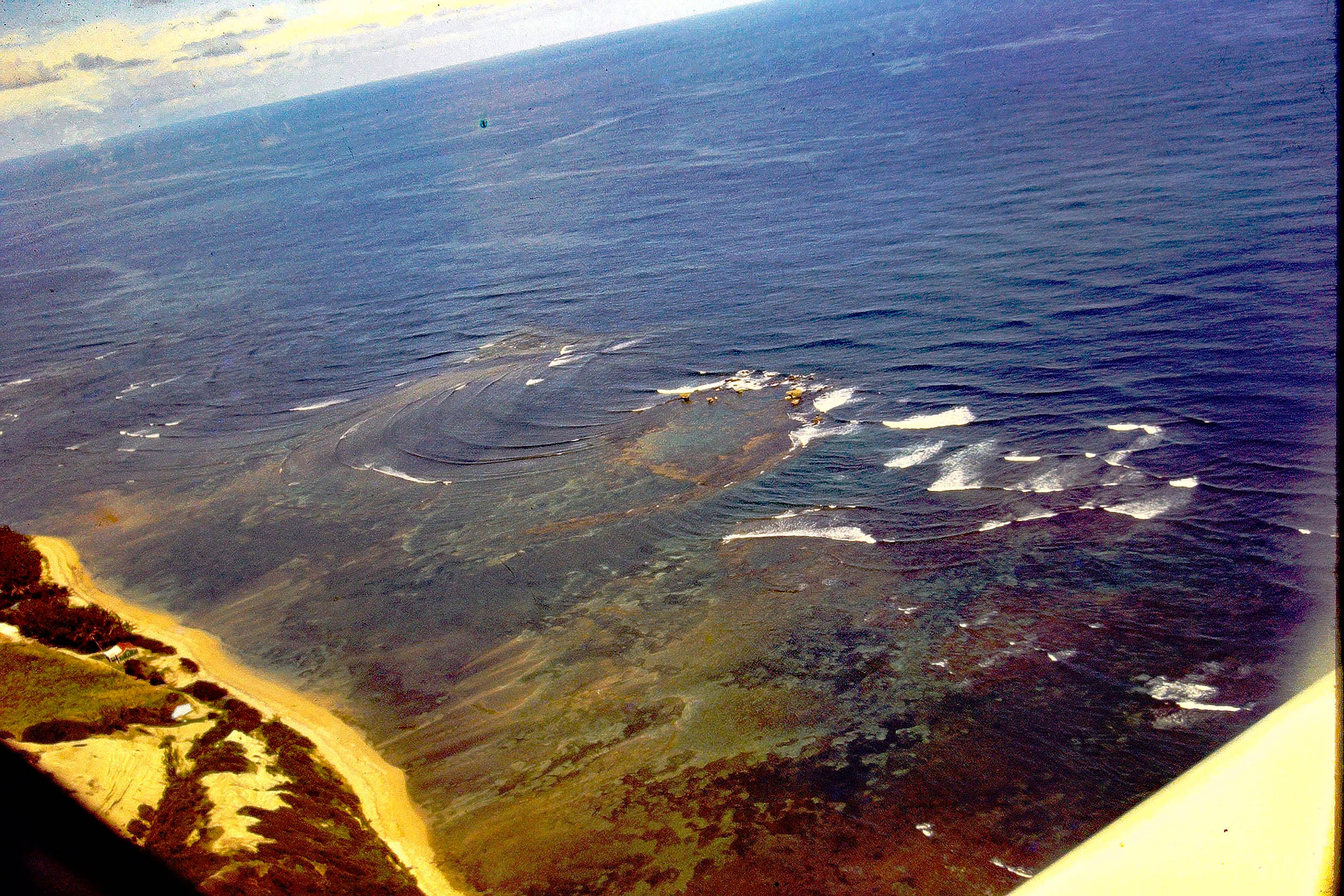 Aerial View of Bath area in 1968. I hired a small aircraft to view seagrass beds from the air. Dark areas are seagrass beds. |
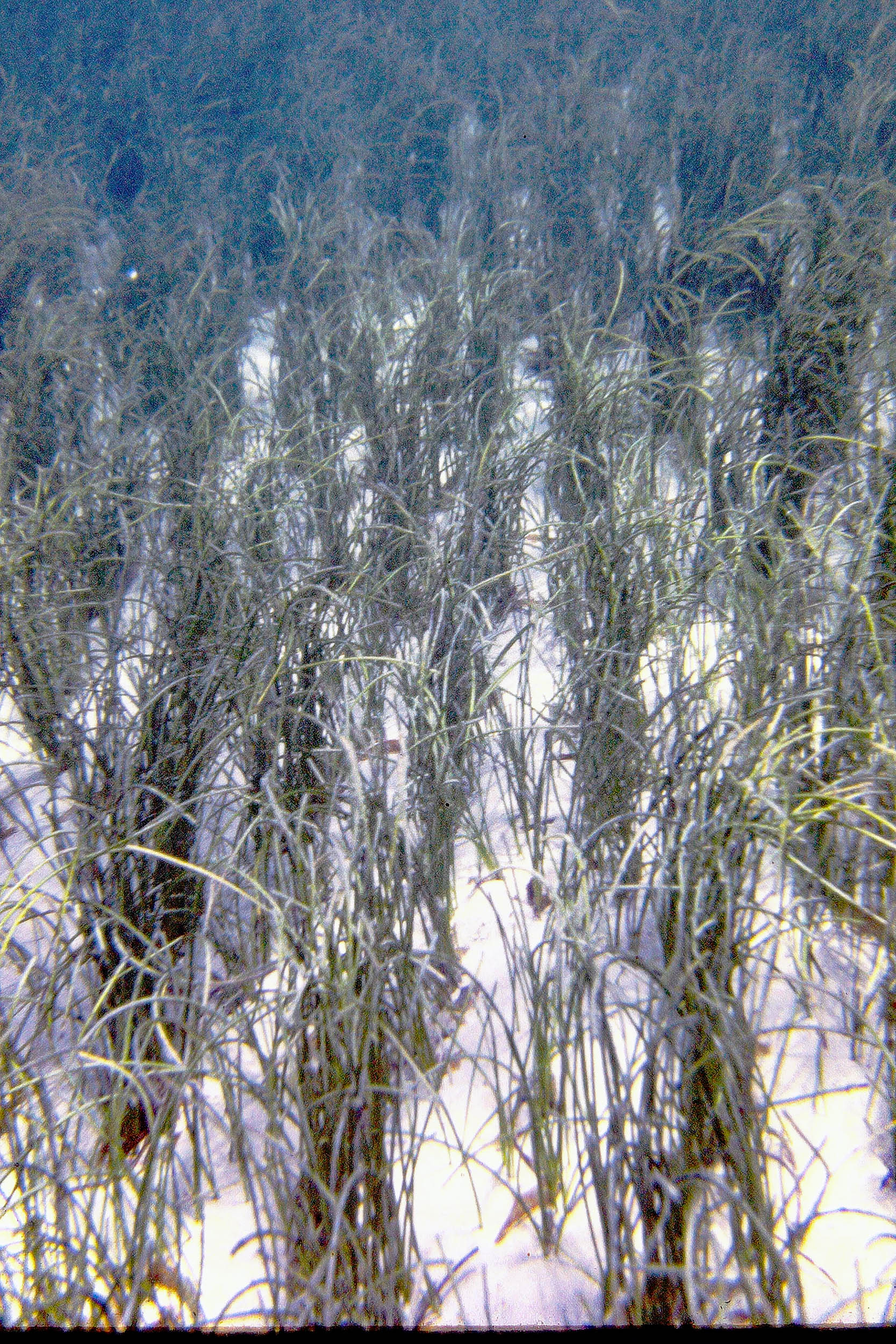 Syringodium filiforme |
 Erosional Scarp in pure T. testudinum stand |
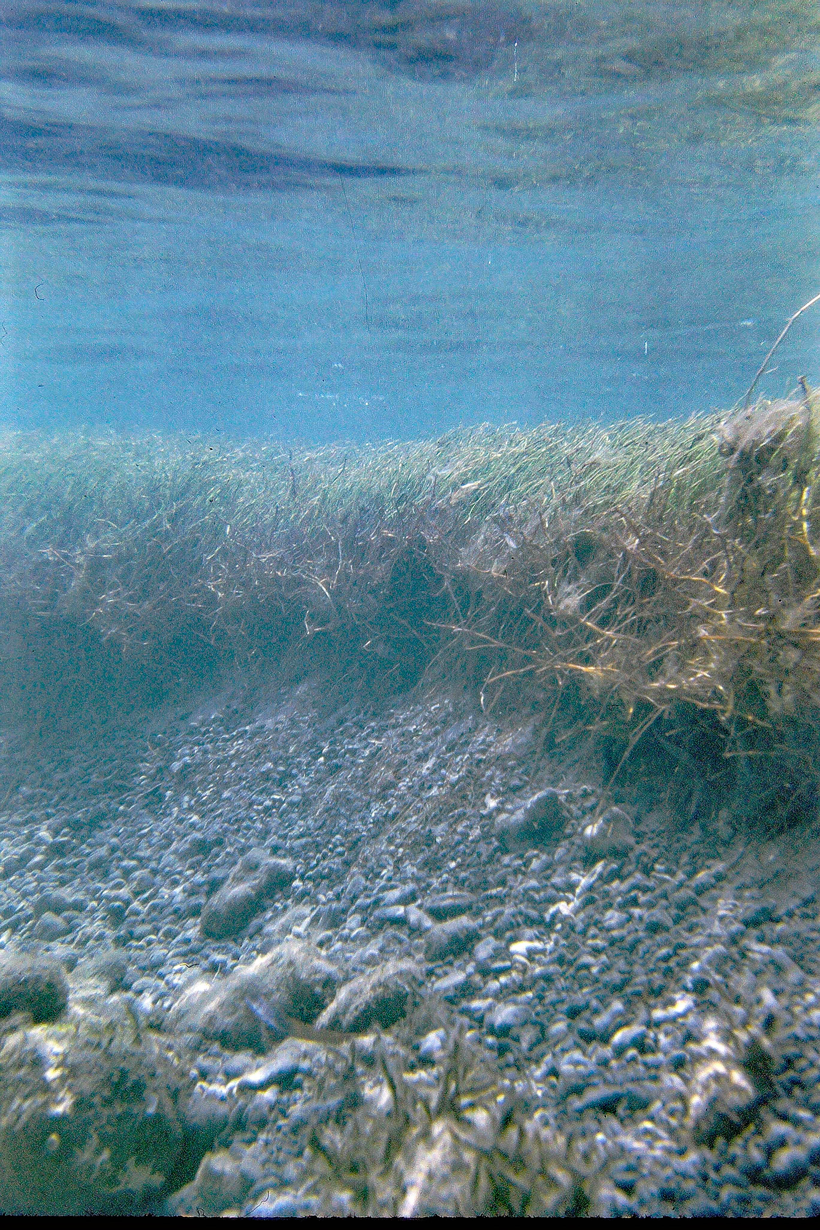 Erosional Scarp in pure S. filiforme stand |
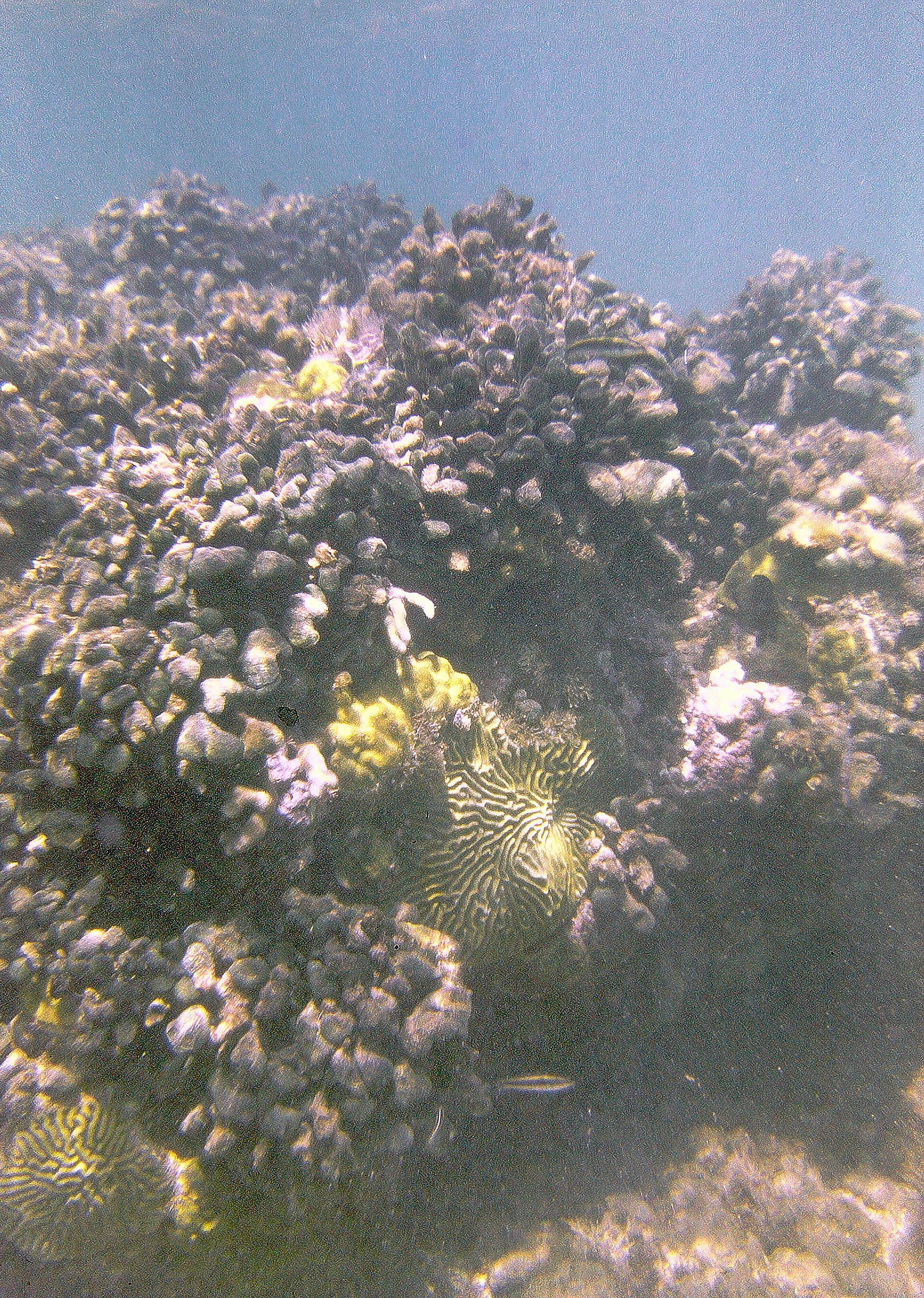
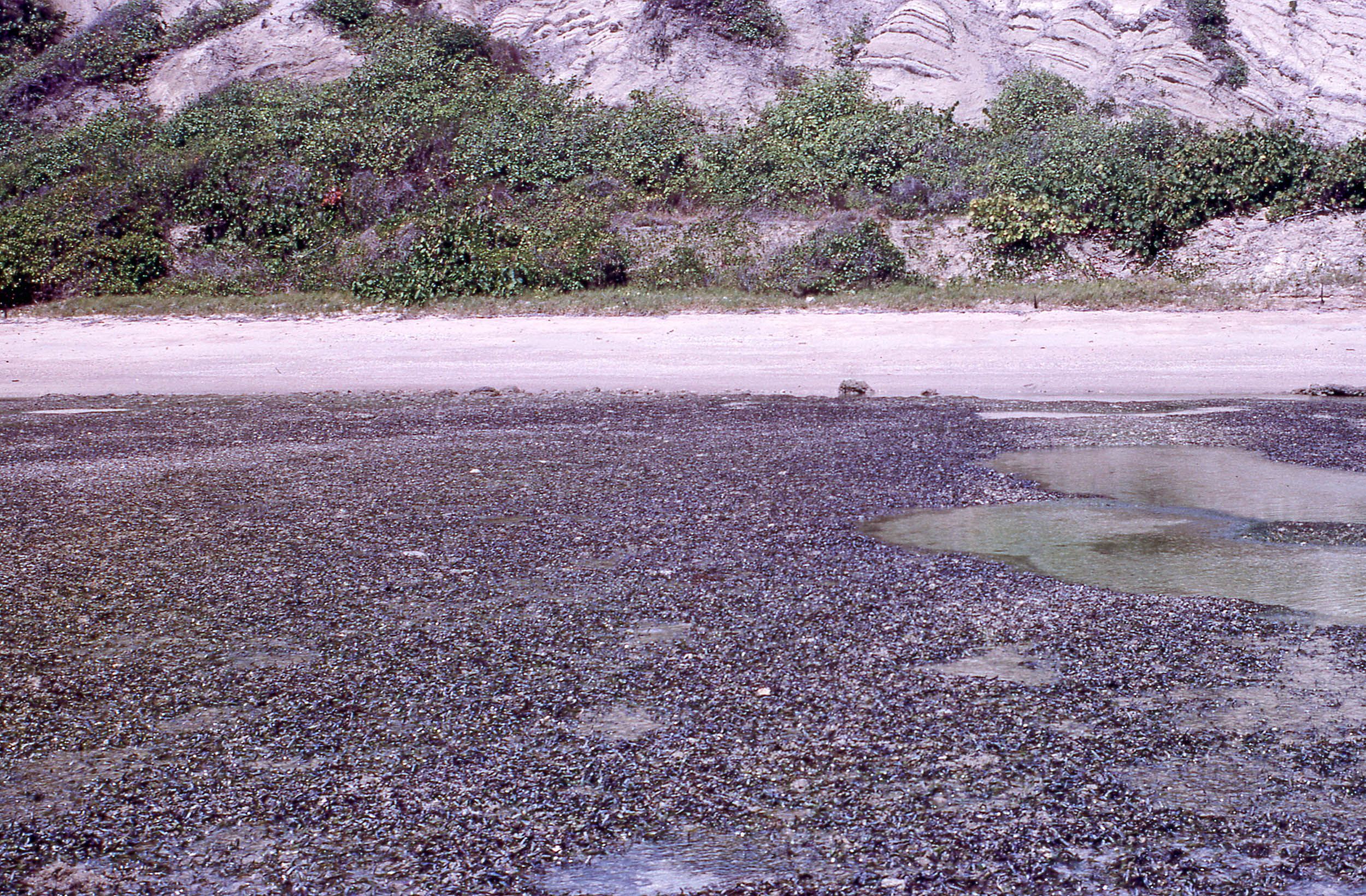 “Porites Rubble Flats” exposed at low water of a spring tide. Tertiary oceanic deposits in baakground. |
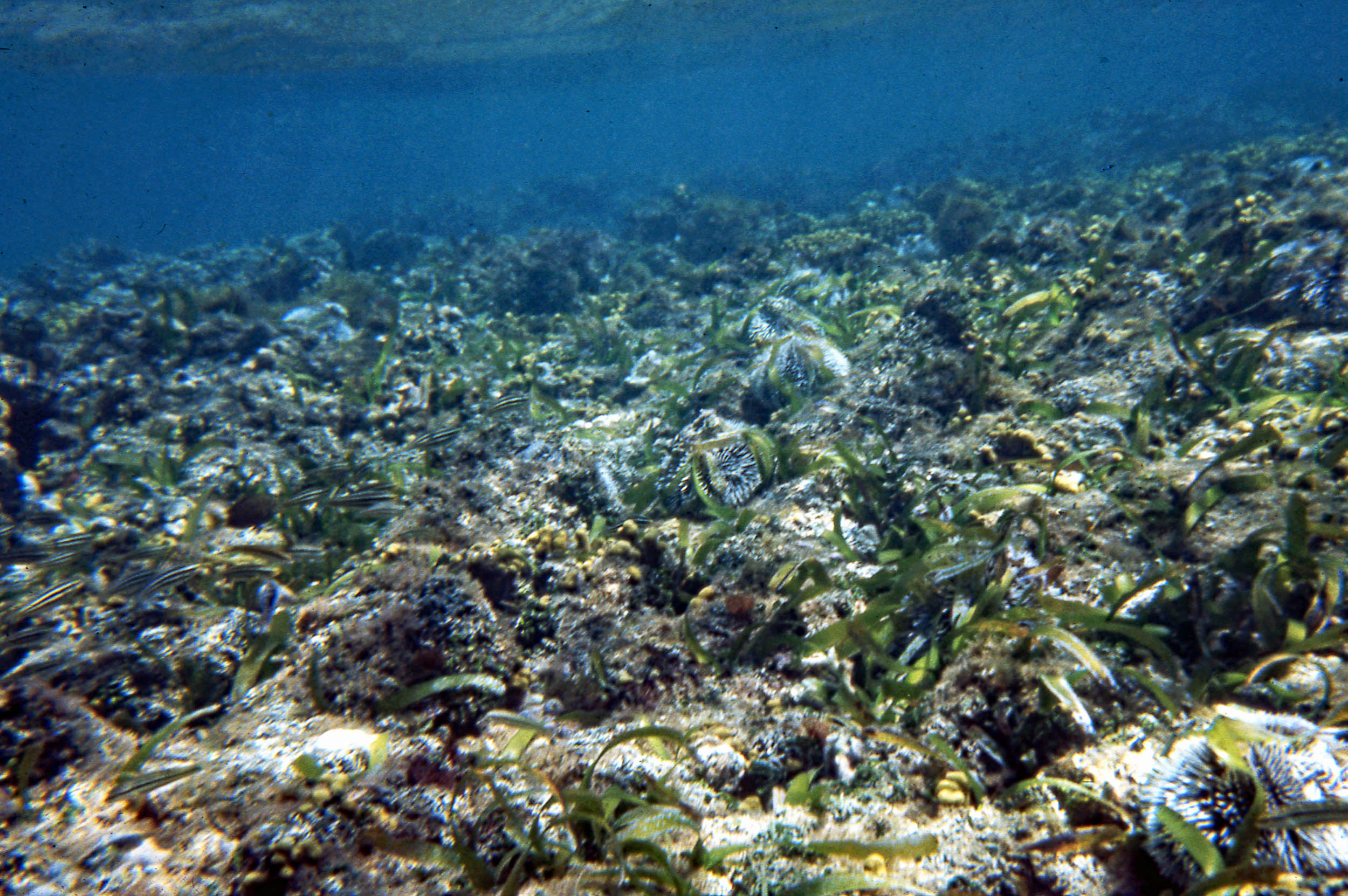 T. testudinum, A. rawsonii on Cobble Framework substrate. Sea Urchins (Tripneustes esculentus) |
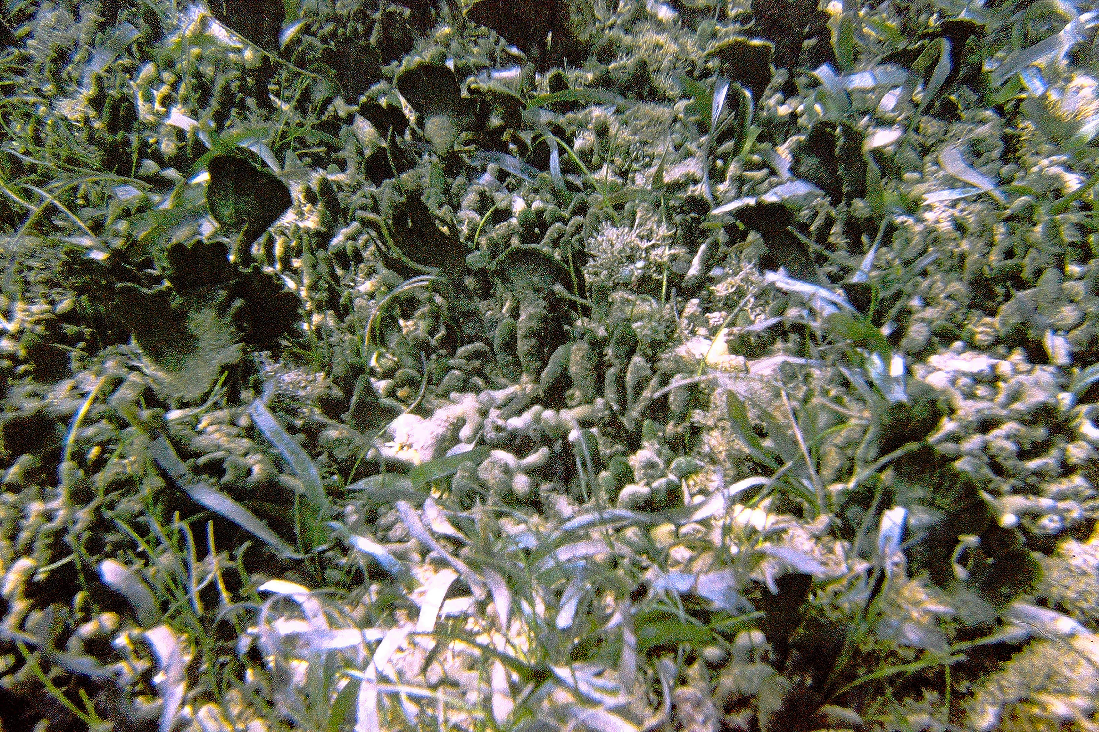 In mixed Thalassia/Syringodium/Avrainvillea spp stand, April 1970 |
 In mixed Thalassia/Syringodium/Avrainvillea spp stand, April 1970 |
 At landward edge of “The Platform” April 1970 |
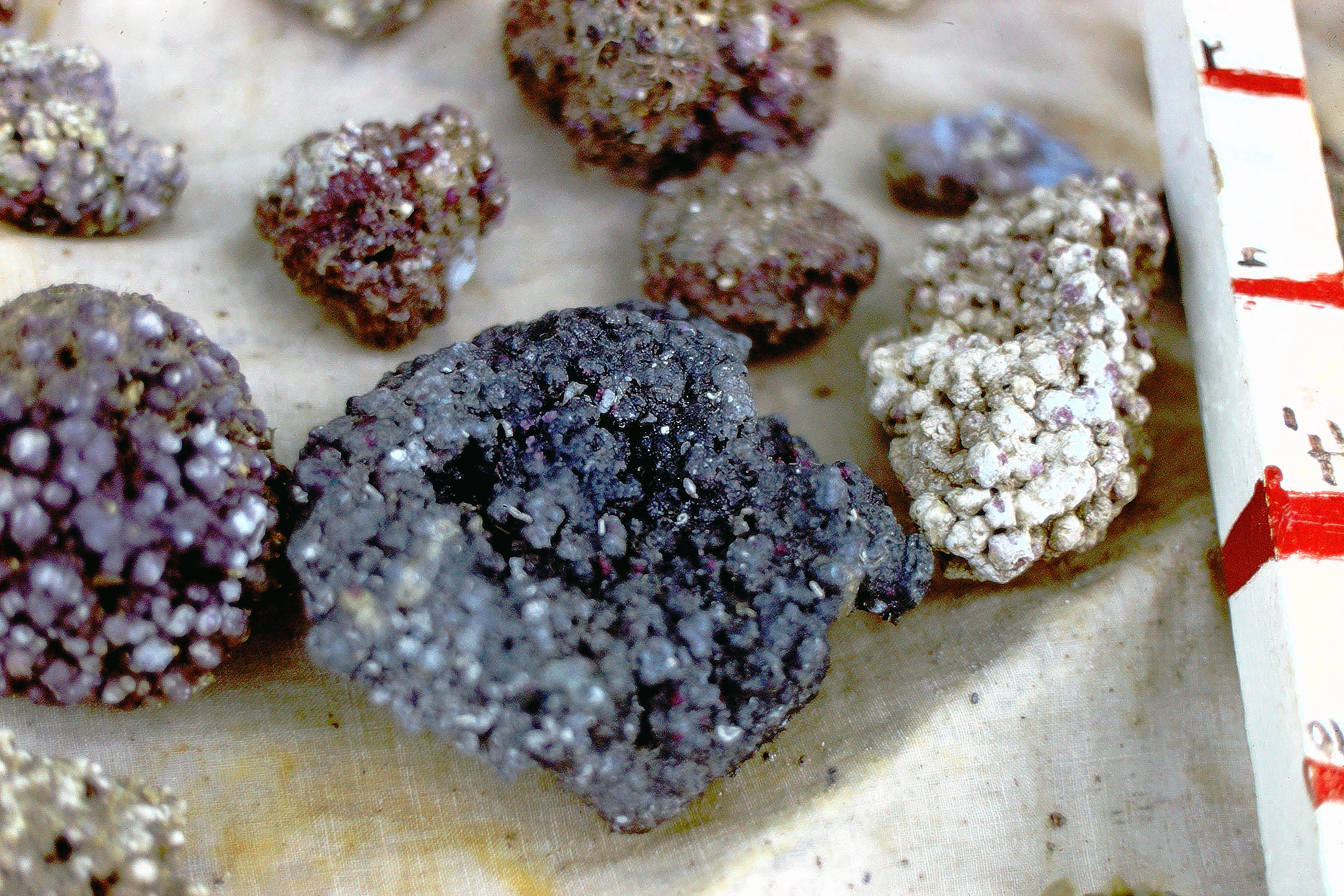 Collection of Rhodoliths. The blackened rhodolith was likely buried in the root zone of T. testudinum whihc is typically highly reducing; local input of sediment of terrigenous origin provides the iron to produce black iron sulfide. (Such blackening doesn’t occur in purely calcifierous sediments in Barbados (see Patriquin 1972 p 40; Patriquin & Knowles, 1975 pp. 58-60) |