
DRAFTING
The 1969 working map
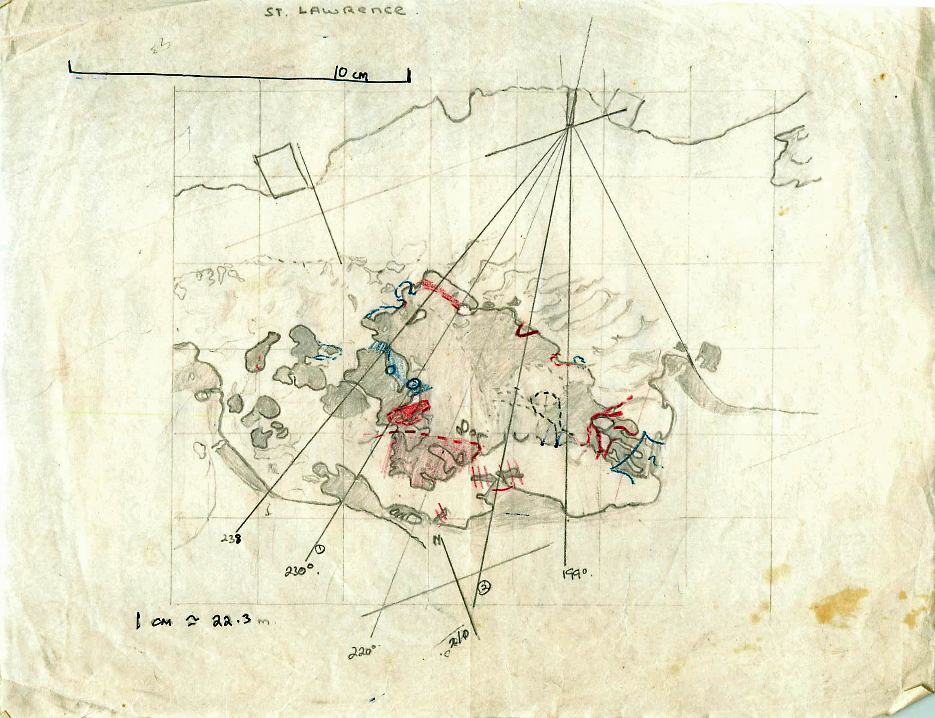
In 1969, the largest of several small discrete seagrass beds at St. Lawrence was mapped following a procedure similar to that for Bath, using aerial photographs (Hunting Surveys Ltd., taken in 1964), 6 transects traversing the beds from a shore position to the seaward margin of the seagrass beds or beyond, and measuring water depth at half hour intervals at a fixed site. The reference transect ran from a sluice gate on shore to a prominent point on the reef seaward of the seagrass bed, both of which could be identified in areal photographs. 5 other transects began at the same point, but were oriented at different angles. The locations of these transects were superimposed on images of the seagrass beds taken from areal photographs on plastic drafting paper. These maps were used in the field to confirm or adjust boundaries of the beds, and to locate further transect, observation points and formal samplimg stations.
Stations
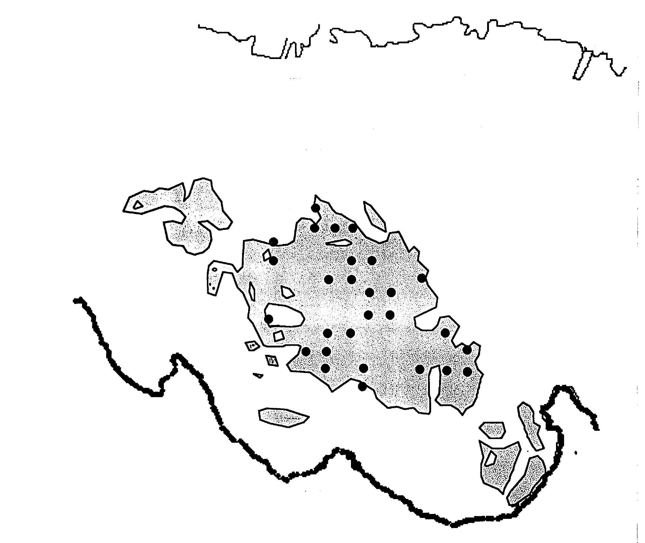
In 1969, twenty-six 10×10 m area sites within the seagrass bed were selected by use of random numbers on a grid of 10 x 10 m squares which covered the entire surveyed area of approximately XXX m2, however sites were selected only within the contiguous seagrass bed. Within each 10 x 10 m area, observations were made on 12 randomly placed quadrats as described for Bath. In 1994, the 26 sites were located with reference to the transects (orinetation and distance), and the observations were repeated. Seagrass biomass samples were taken from six 1/16m2 quadrats (leaves sheared at substrate level) shaken to remove loose water, sorted by species, each component weighed. Lengths and widths…(to describe)