Cranberry Lake Lands Maps, Google Earth Images
& PhotosClick on images for larger versions | 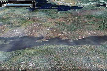
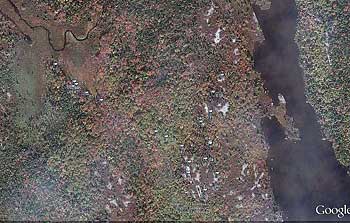
Area of interest in Google Earth, approached from the east. |
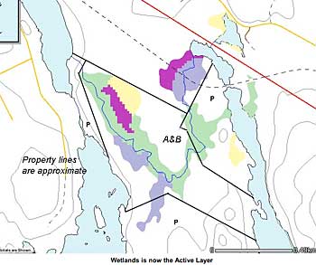
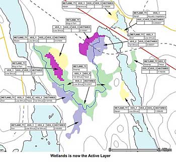
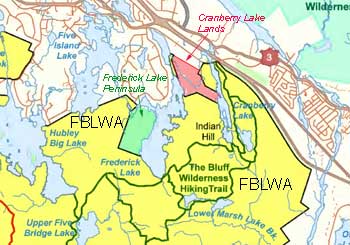 Location of Cranberry Lake lands in relation to the Five Bridge Lakes Wilderness Area and The Bluff Wilderness Hiking trail. Location of Cranberry Lake lands in relation to the Five Bridge Lakes Wilderness Area and The Bluff Wilderness Hiking trail. | 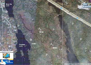 Properties we want to see protected (A & B) in rrelation to already protected land (P). Properties we want to see protected (A & B) in rrelation to already protected land (P). |
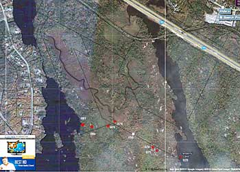
Points (red) on the portage route identified by Dusan Soudec and location (white) of a small boardwalk. |
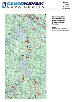
Lakes and Portages for Lake Hop |
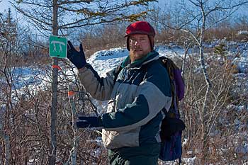
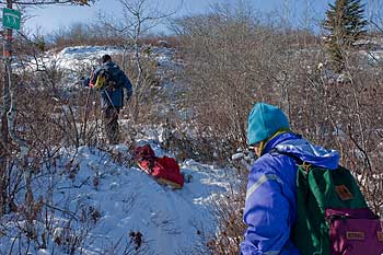
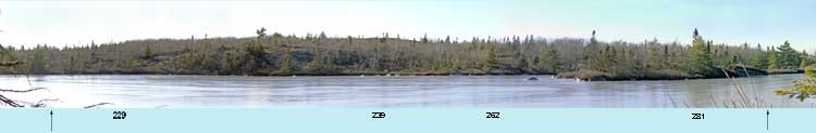
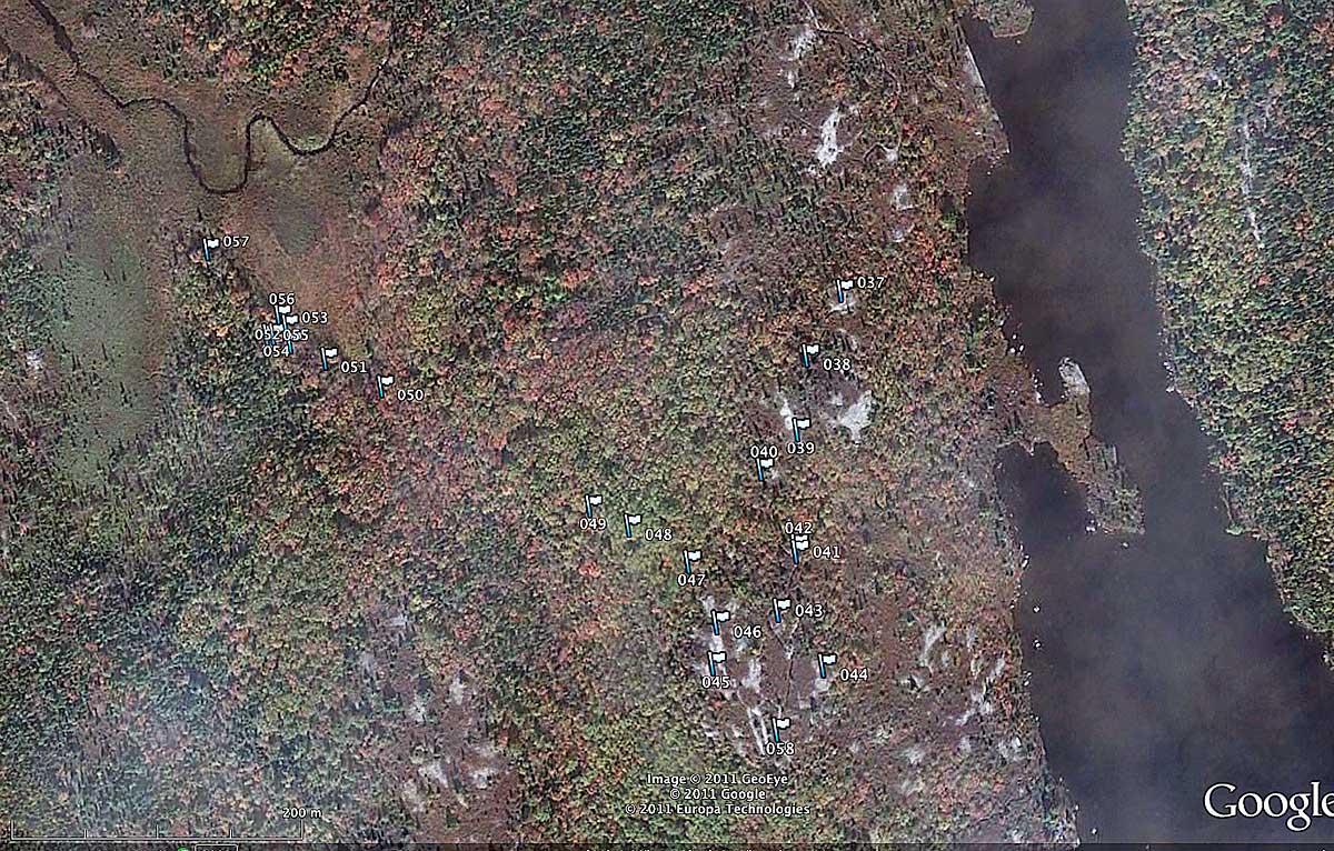
 Waypoints Nov 21, 2011. These waypoints are referenced in some of the photos below.
 |
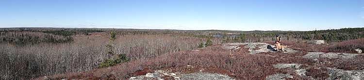
On high barrens, view from WP46 just south of southern bounday of Property A; the panorama goes from the NW at left - wetlands on Property A can be seen in the distance - to NE; blue water is Cranberry Lake. Approx altitute: 127 m. |
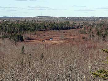
Telephoto view of wetlands from WP 46. |
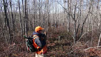
At WP 48 on southern boundary of Property A; the portage route goes along this boundary (approx 300 degrees), descending towards the wetlands. Oak predominates in these deciduous woods. Approx. altitute: 110 m. |
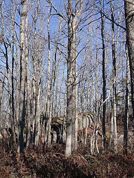
Oak woods and erratic in the vicinity of WP 48. |
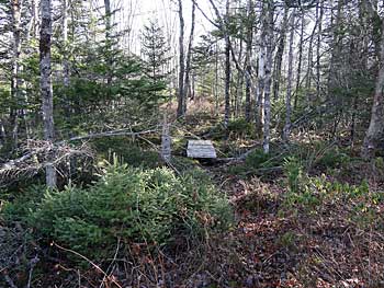
WP 50: short boardwalk over wet area, beginning of wetlands. Approx altitute: 80 m. |
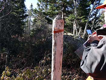
Crown post at WP 55 (44 39.4833N -63 46.506W; approx altiture: 87 m)/ Dusan Soudek WP 078. |
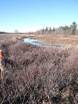
Wetlands - see panorma below. |
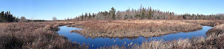
Panoramic View of wetlands from position (44 39.5444N 63 46.5431W) just north of granitic outctop atWP 57. Approx altitute: 85 m.
|
Winter photo from the Cranberry Lake end of the above portage (from Dusan Soudek). |
Winter photo from the Cranberry Lake end of the above portage (from Dusan Soudek). |
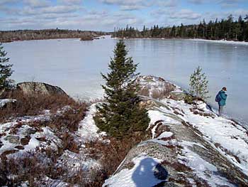
Cranberry lake from SSE end in winter (from Dusan Soudek). |
|