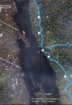
Sites on The Bluff Trail where photos were taken to illustrate the view plane onto Cranberry Lake Property A |
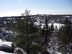
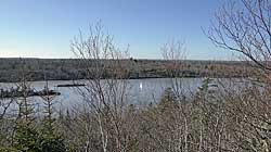
View of Property A from the "Whale Back" (Site A). Photo on Feb. 7, 2009. | 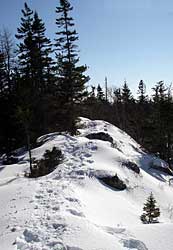
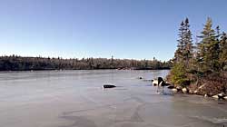
The "Whale Back" in winter. |
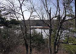
View from Site B across small
peninsula of Property A
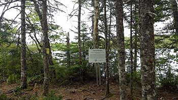
Pot Lake junction (Site C): Approximately 1 km from the trailhead, we have placed the Dedication Sign (in photo) for the Trail, a Map of the trail and a guest book at this site. Hikers often pause at this site.
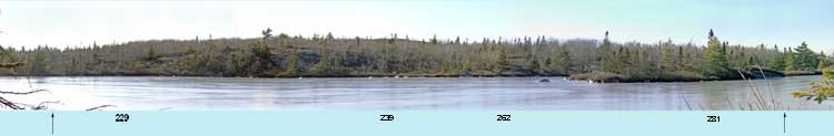
View plane onto Property A from the Pot Lake junction (Site C). Vertical arrows indicate N & S edges of Property A where it abuts on Cranberry Lake. Numbers are direction of view from the Pot Lake junction.
View plane onto Property A from a small cove (Site D).
View plane onto Property A from the "Rockingstone" (Site E). The arrow points to the southern edge of Property A. | 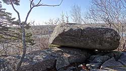
Hikers often climb on top of this erratic for a view of the lake and beyond. |
|