Last Days of an Urban Wilderness?
|
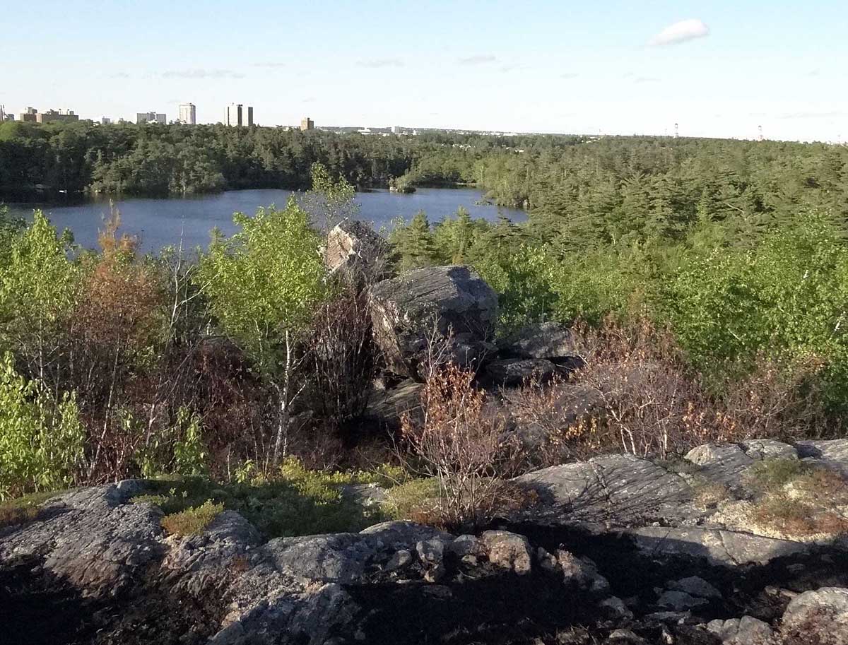
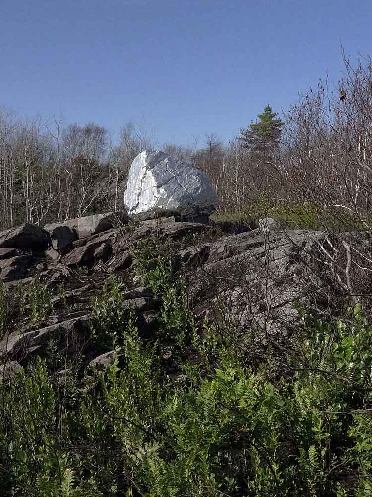 Michael's Rock |
Click on images for larger versions
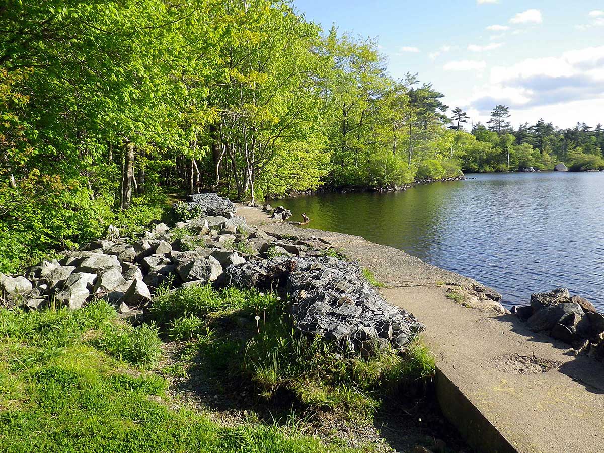 The dam at Williams Lake (Site A on Map). A popular swimming spot & where the hikes began. (June 1) |
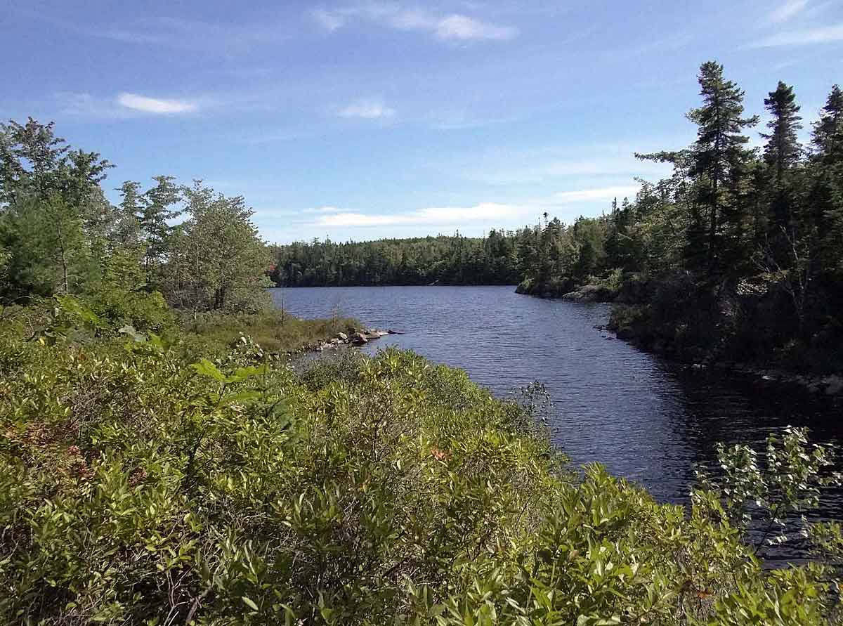
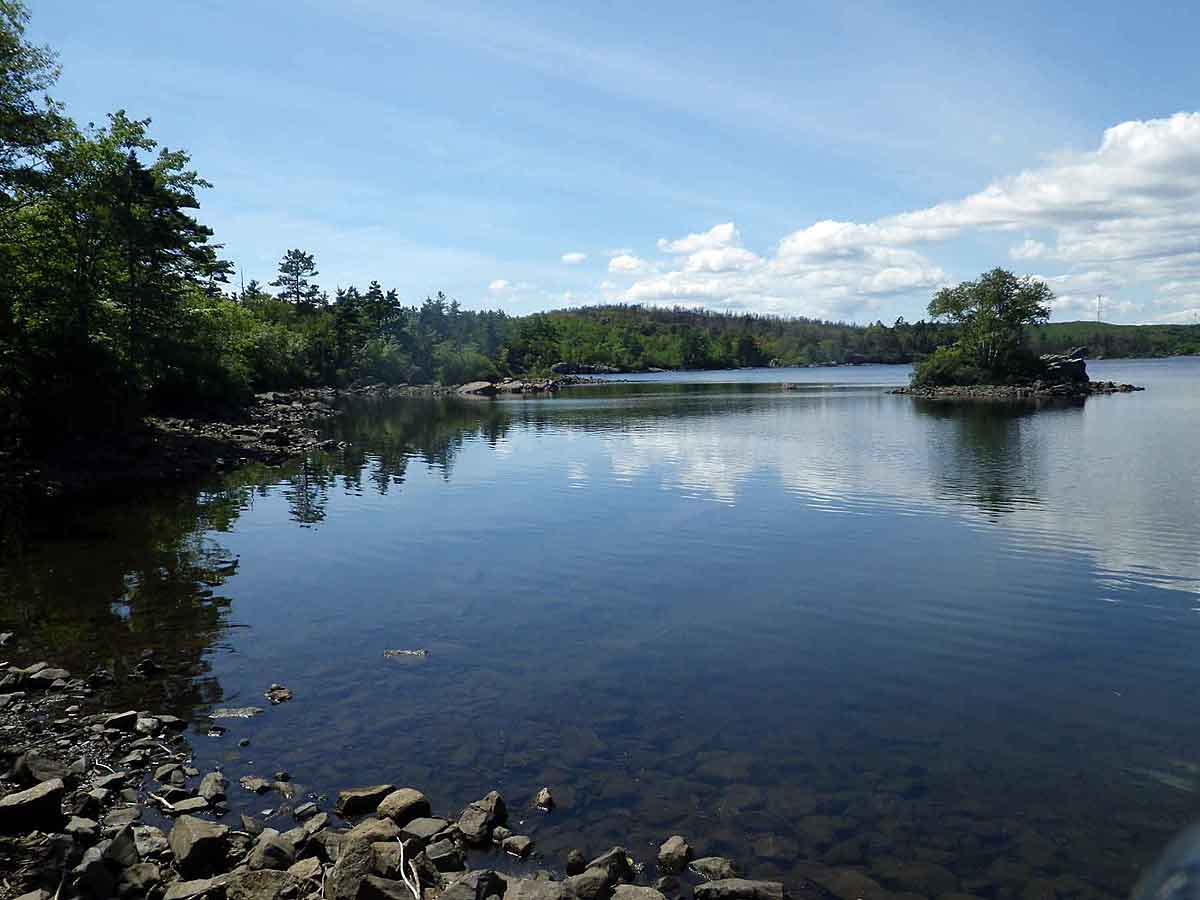 The largely unspoiled Williams Lake. Site A: 44.621128, -63.587410 (Aug. 25). |
| "The dam at the southeast end of Williams Lake has a long
history. It dates back to the 1700's, when it was used by
the forestry industry as a control for a wood conduit to the
Northwest Arm. In the early 1800's it served the needs of a
gristmill on the site of the present Royal Nova Scotia Yacht
Squadron and later of a sugar-cane mill while at the same
time allowing ice production for Halifax, an activity which
continued well into the 20th century." - Williams Lake Conservation Company Newsletter, April 2008 |
|
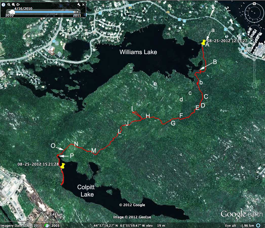
Google Map with track for the Aug 25 walk, and sites of specific photos on June 1 (lower case letters) and Aug 25 (upper case letters). Most of the route is through land that will soon be developed (394 acres with a "concept density" of 3-4 residential units per acre). For more about the hike and the area, see Williams Lake Conservation Co. |
 |
 | Old "Ice Road" or "Stone Road" close to the dam. Site a: 44.621234, -63.587071 (June 1). "It was used in later years to bring ice from the lake to cottagers but its name would indicate that it may also have been used to haul stone from the small quarries on the southern shore of the lake accross the lake to Lawson's Mill Road or to the Arm for shipment" - Heather Watts in Beyond the North West Arm: A LocalHistory of Williams Lake, Halfax, Nova Scotia (1979) Williams Lake Conservation Co. (Halifax Public Library: 971.622 W349b) |
 Cove at eastern end of Williams Lake (Site B, Aug. 25). Unusually low water revealed an old road across to a small island. It was constructed before the lake was dammed and was used to transport rocks from a quarry on the south side of the lake. Burkhard remarked that this was only second year in the past 19 year that one culd see it above water. Site B: 44.619193, -63.587615 (Aug 25). Cove at eastern end of Williams Lake (Site B, Aug. 25). Unusually low water revealed an old road across to a small island. It was constructed before the lake was dammed and was used to transport rocks from a quarry on the south side of the lake. Burkhard remarked that this was only second year in the past 19 year that one culd see it above water. Site B: 44.619193, -63.587615 (Aug 25). |
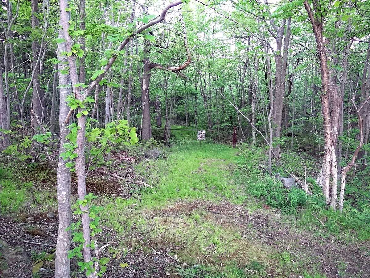
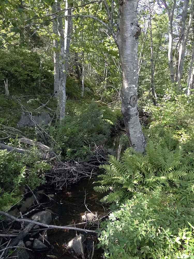
 Stream flowing into Williams Lake drains much of the area that will be developed. Site b: 44.618173, -63.587788 (June 1). Hikers expressed concern about the impacts of development on water flow & water quality. |
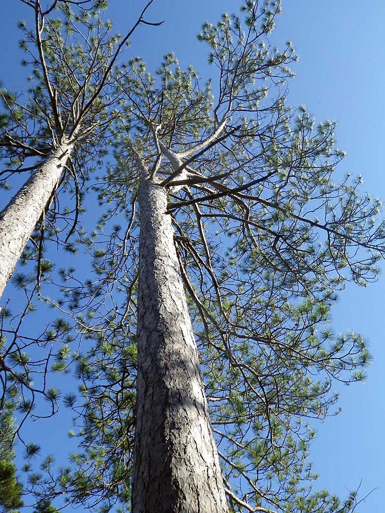 Red Pines, here at site c, are not seen elsewhere on this landscape. Site c: 44.617330,-63.588897 (June 1). |
 Large erratic. Site d:44.616902,-63.589792 (June 1). |
 View of Williams Lake twoards the edge of high barrens that burned on May 23, 2012. Vicinity of site e (June 1). |
 Jack Pines in the burn area, one unburnt (the bare surface surrounding it was large enough to protect it) and one mostly burnt (right). The presence of Jack Pine is a sure sign of a history of recurrent fires in this area. Site e and vicinity: 44.617937,-63.592439 (June 1) |
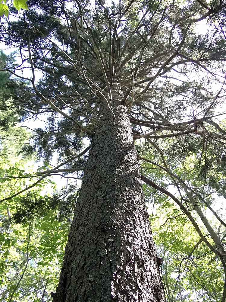
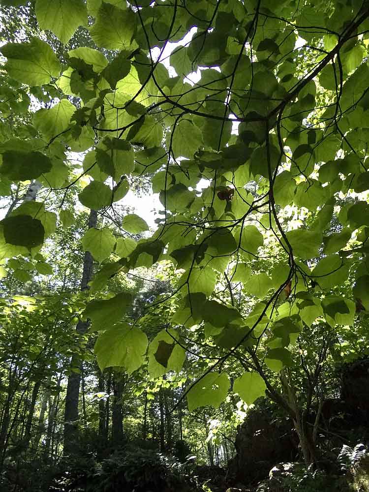
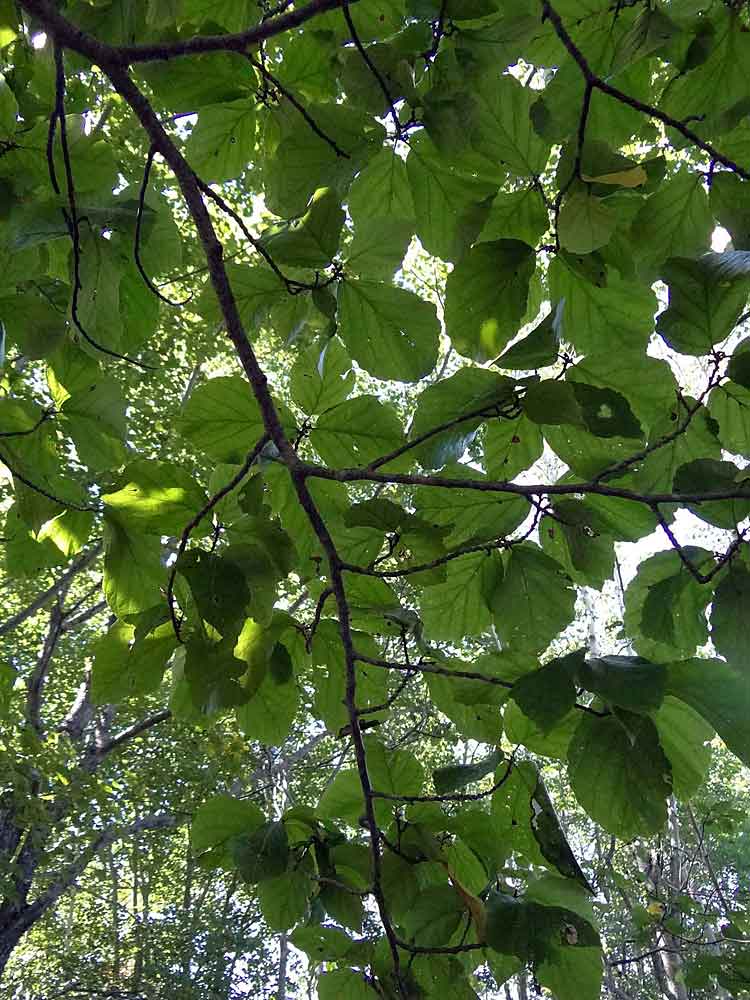
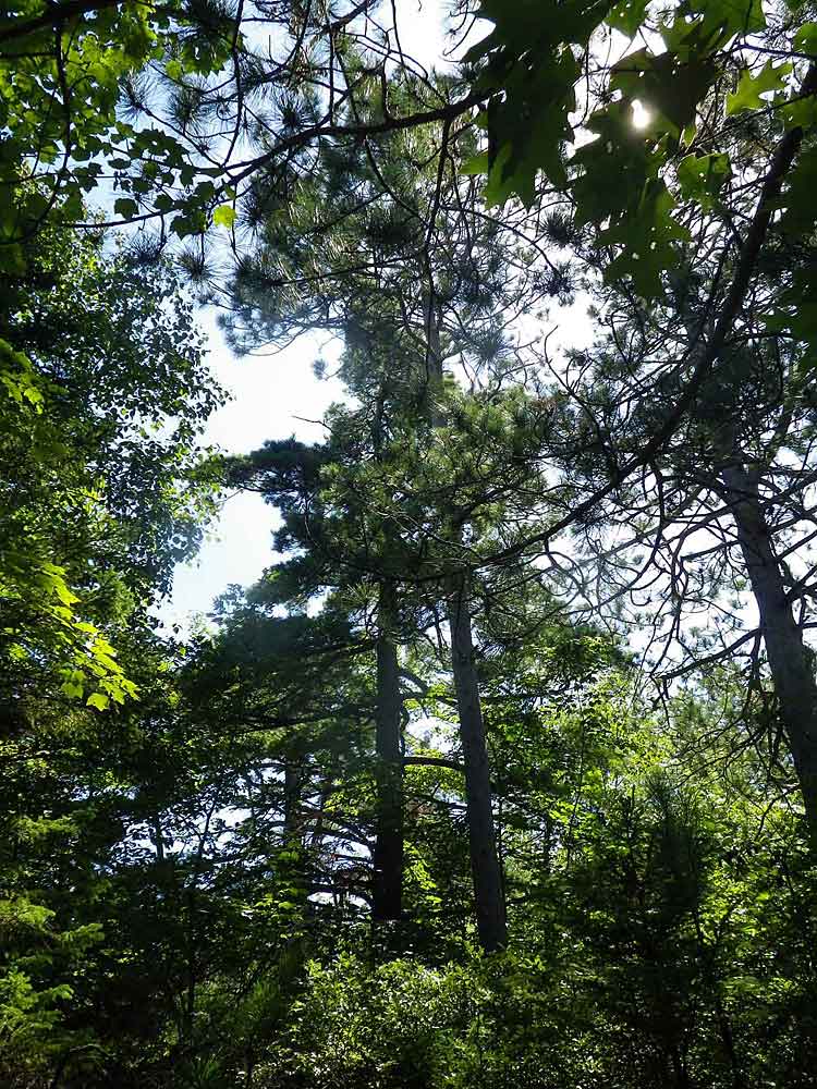 Mixed Acadian woods. Towering pines survived an intense fire approx. 45 years ago. 44.618092, -63.587733 (Aug. 25). |
 A large Red Spruce, not common. (Aug. 25). A large Red Spruce, not common. (Aug. 25). |
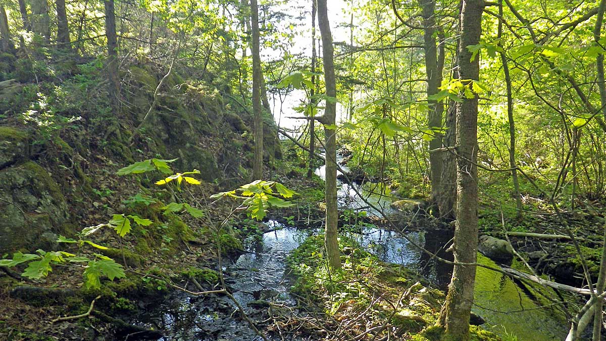
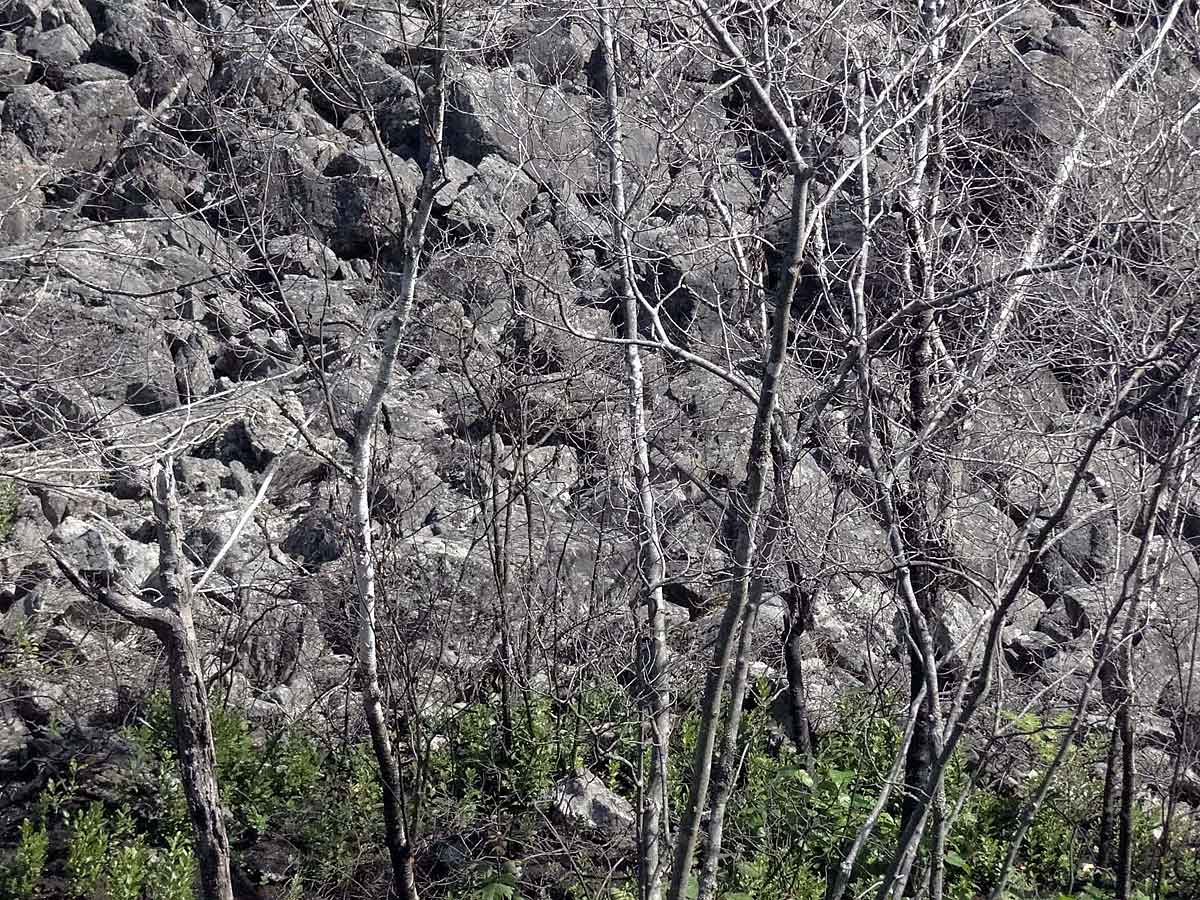
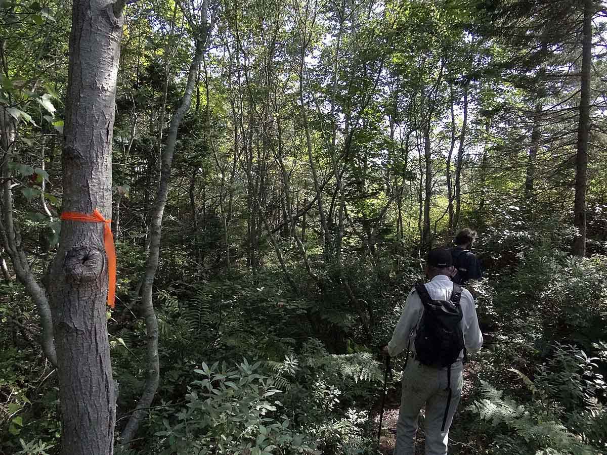
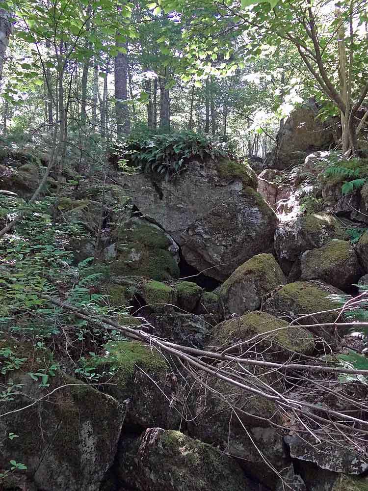 Gully filled with large bouders. We could hear the water flowing below; it's above the surface in spring. Site C: 44.617158, -63.587327 (Aug. 25). |
 Striped Maple, forms a beautiful subcanopy layer in this gully area. Site C (Aug. 25). |
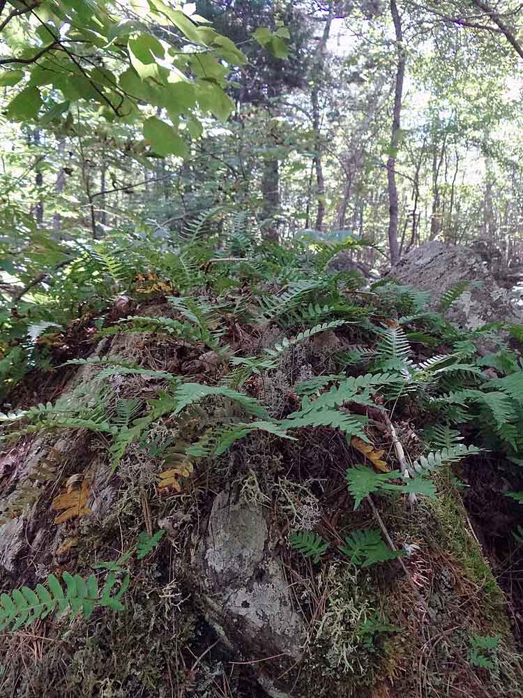 Polypody Fern at the gully. Hikers enjoy this sight, even in winter (it's an evergreen fern). (Aug. 25). |
 A seasonal wetland. A natural dam below this area results in silt accumulating here during wet times of year. Site D: 44.616750, -63.587645 (Aug 25). |
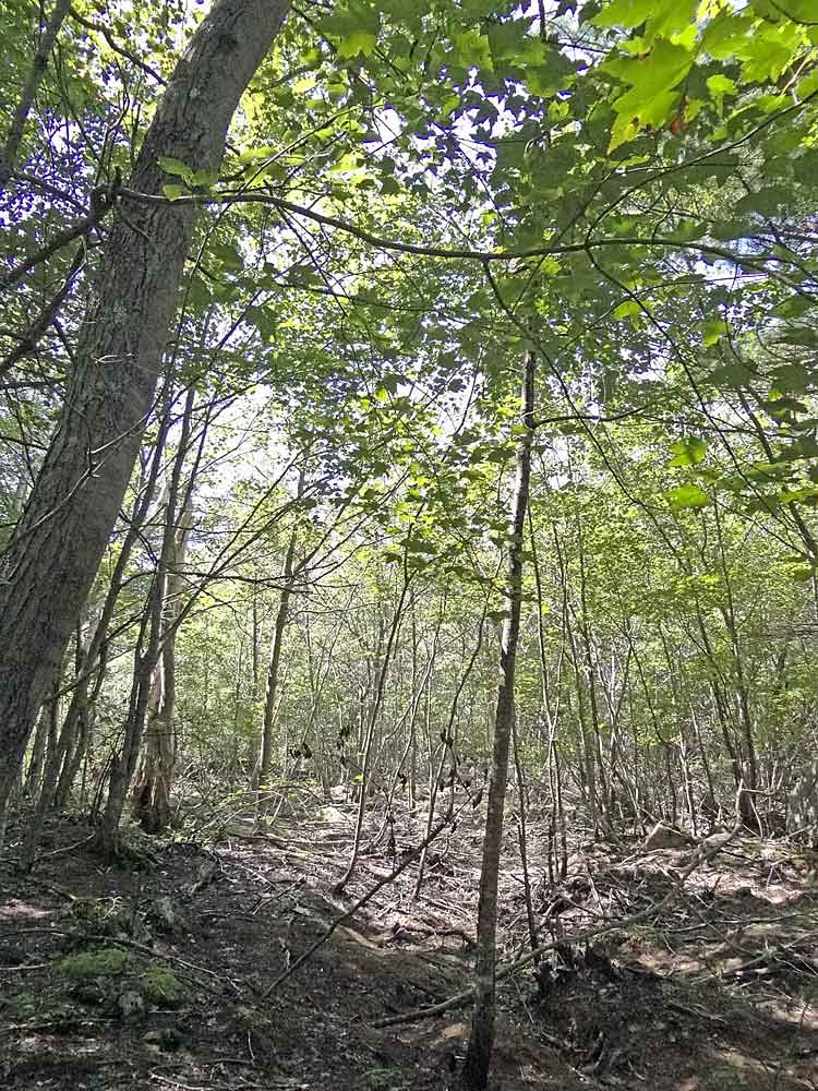
 Mixed, mostly deciduous forest makes for pleasant walking on hot days. (Aug. 25) |
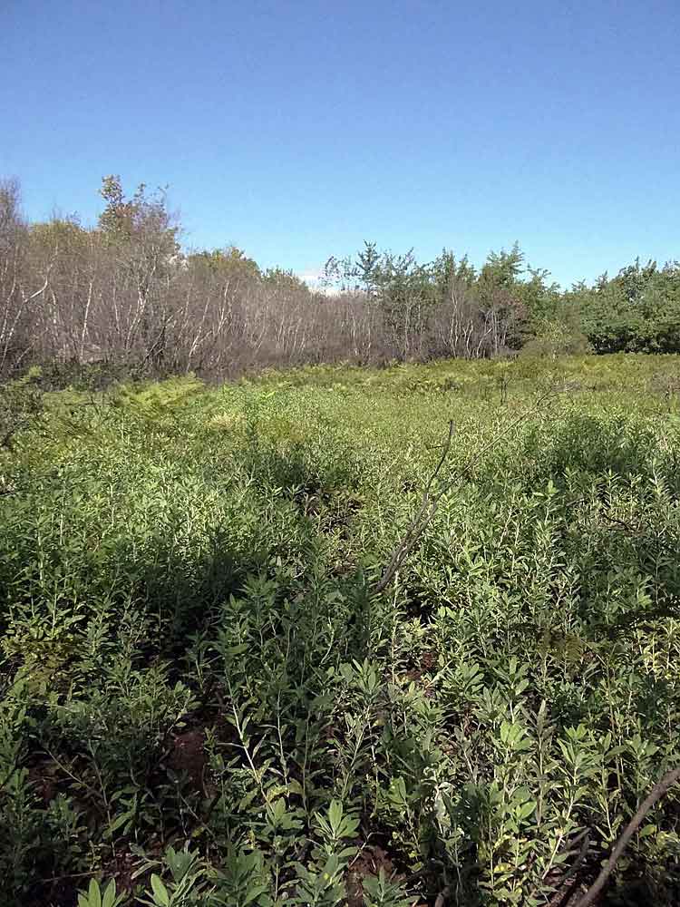
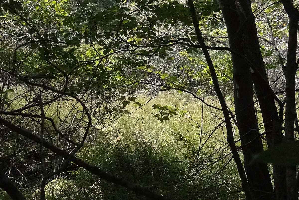 Small wetland dominated by graminoids. Site E: 44.616262, -63.588253 (Aug. 25). |
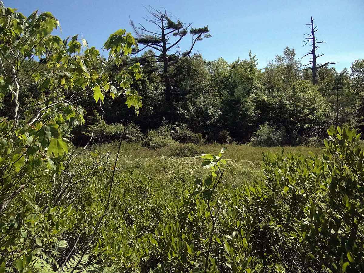 Larger wetland, Site F: 44.615563, -63.589742 (Aug 25). |
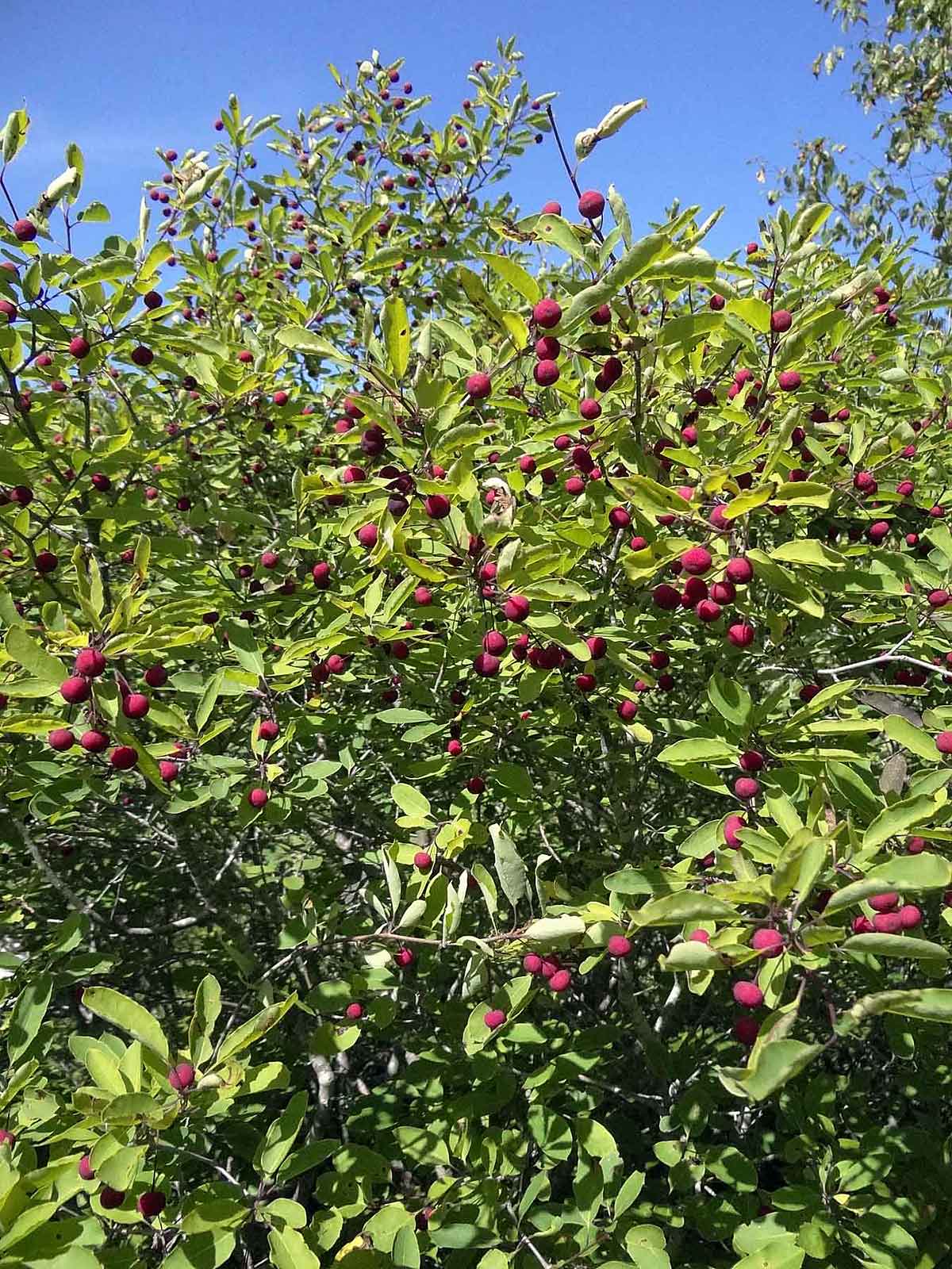 Mountain or False Holly in fruit, good for wildlife but not humans. (Aug 25). |
 Boulder accumulation. There was some standing water below Site G: 44.615518, -63.590688 (Aug. 25). |
 Witch Hazel. (Aug. 25). |
 Another larger wetland. Site H: 44.615782, -63.593122 (Aug 25). |
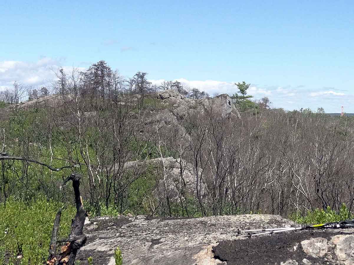 We took a side-trip to walk up onto a high point on the burnt barrens. Site I: 44.616106,-63.594489 (Aug 25). This area burned on May 23, 2012. |
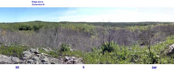 A portion of a 360 degree panorama from the high point on the burnt barrens. The panoramic view gives a sense of the extent of this wilderness refuge, also it's situation within a larger urban area and of creeping encroachment by concrete and asphault. Walk down from the high point a little bit, and all visual connection to the urban life and even the sounds are lost. View Full Panorama. Site I: 44.616106, -63.594489 (Aug 25). |
| Back on the trail heading towards Colpitt Lake, we skirted the high barrens, most of which had burnt in the spring. At one point we encountered a gleaming boulder perched on a granitic outcrop. Two artists amongst us immediately recognized it as "Michael's Rock" and were quite excited to see this fabled artwork. It consisted of a large boulder covered with tin (or aluminum) foil. It had been constructed 4 or 5 years previously and Michael had apparently maintained it, even recently after the fire. It was interesting to think about a piece of art to be so situated, with no plaques to indicate the artist or the purpose and few to observe it. I saw it as an acknowledgment of the wilderness as its own world. (Aug. 25). |
|
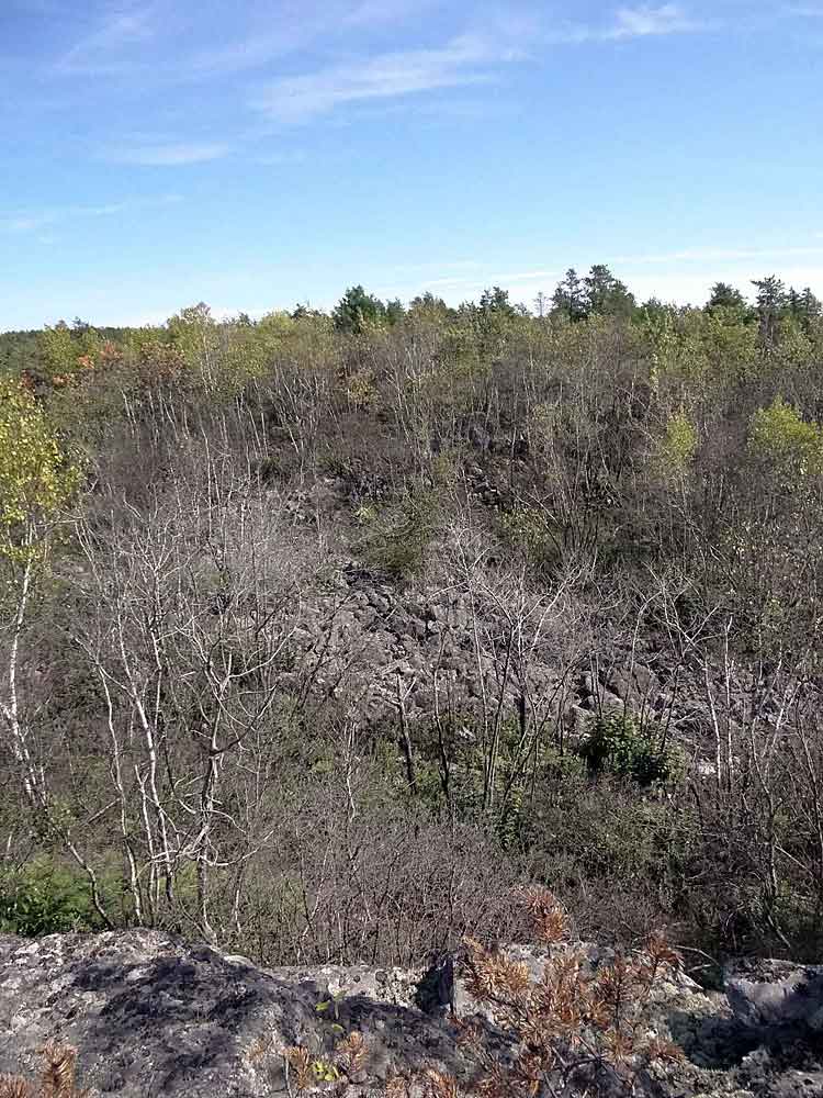 |
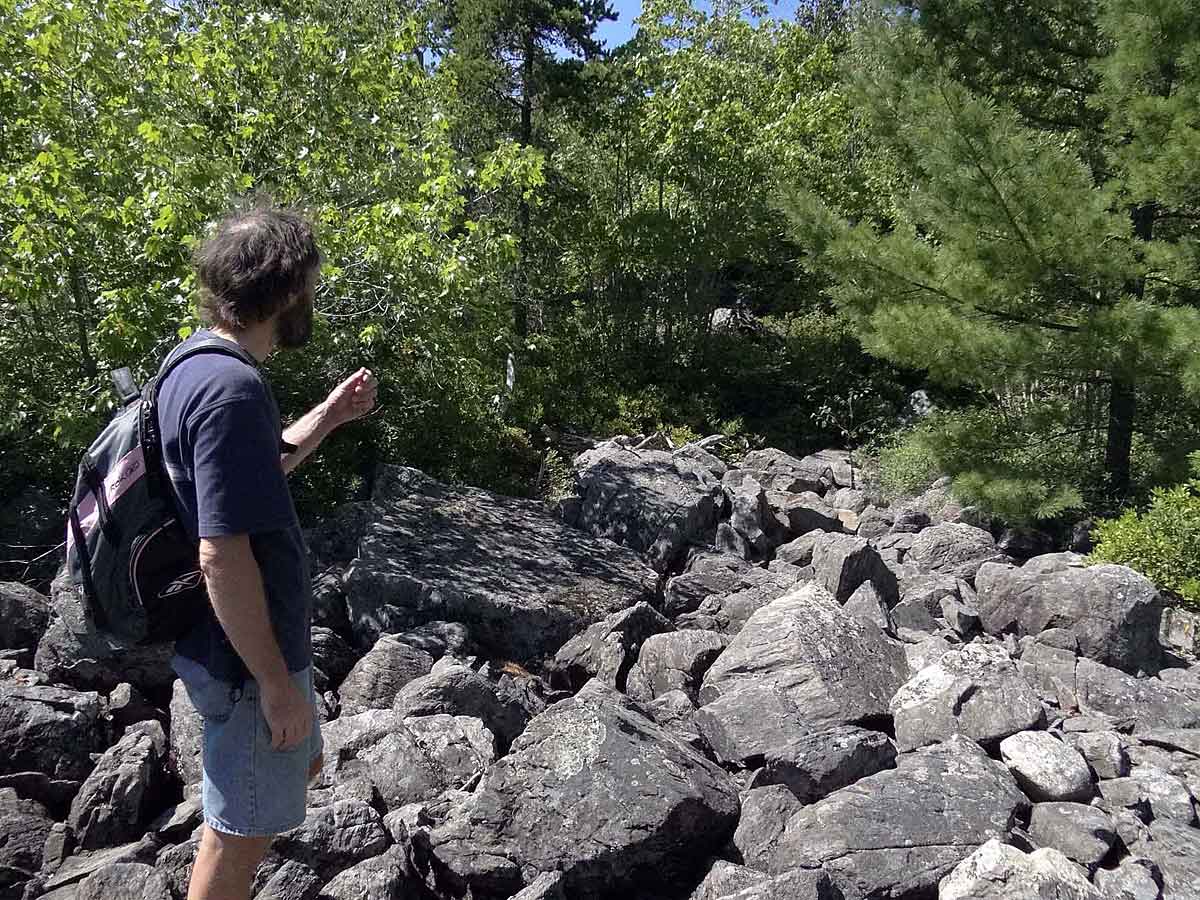
 Accumulations of angular boudlers. Site L: 44.614458, -63.596025 (Aug 25) |
| I sent photos of the boulder accumulations to two geologist friends and was referred to John Gosse of the Dalhousie Department of Earth Sciences. He commented: "They do look like small localized felsenmeer (sea-of-rocks) fields, but the slope suggests that there may be a different genesis. Without being there it is difficult to be certain, but these kinds of boulder zones are common in glaciated regions. They form either subglacially or, more commonly, along the sides of retreating ice margins. Specifically this looks like a lateral meltwater channel, formed along the side of an ice lobe, with the water flowing downslope. The meltwater stream would have removed the finer sediment and left the larger boulders alone. The angularity of the boulders is also interesting. This is typical in these situations, where the stream was short lived and did not have the energy to round the boulders' edges. On the other hand, boulders that are transported some distance by glaciers will also lose their angularity (depending on hardness and distance of course). That these boulders appear so angular suggests to me that they may not have been transported very far subglacially (though they were certainly covered by ice during the last major glaciation), and therefore may indicate a zone of the ice sheet that was cold-based (stuck to the substrate for most of its history, instead of sliding and transporting the boulders a long way)." |
 Walking through a stand of Jack Pine burnt in the spring fire, Site M: 44.613144, -63.598299 (Aug. 25). |
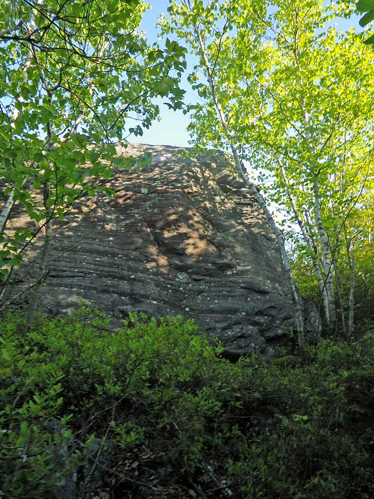
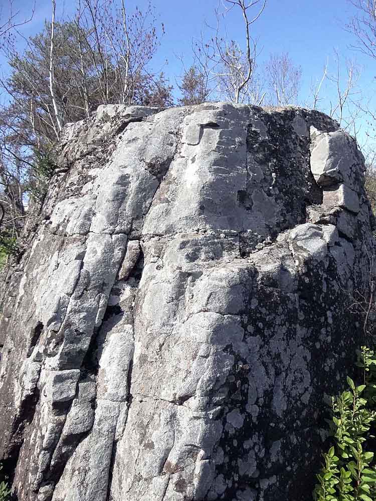 Outcrop. |
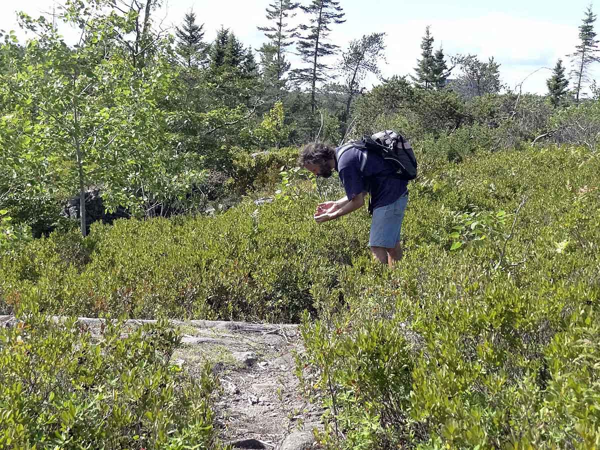 We feasted on blueberries and huckleberries, here at site N: 44.613703, -63.600251 (Aug. 25). |
 We enter moist, unburnt woods as we approach Colpitt Lake. Site O: 44.613212, -63.601613 (Aug 25). 2012 |
 West end of Colpitt Lake. Site P: 44.613055,-63.601984 (get direction). |
 Stream draining Colpitt Lake at Site P goes into Williams Lake. (Aug. 25). |
Purcell's Cove Road Backlands: Links
versicolor.ca