|

GPS approx 30 m west of stream |
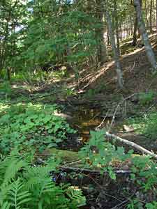
Stream, looking downstream,
to the east or east/southast.
(Compass bearing not taken).
Coltsfoot to the left. |

Hemlocks on bank by stream |

Some large hemlocks. Area above was clearcut. |

On the railbed part of the trail
heading towards Beaver Pond. | |


