Backlands Panorama
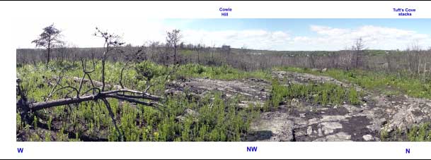 | The photos for this panorama were taken from a high point on recently burnt barrens just south of Williams Lake, on the south mainland of Halifax, Nova Scotia. The panoramic view gives a sense of the extent of this pocket of wilderness, also of it's situation within a larger urban area and of creeping encroachment by concrete and asphalt. Walk down from the high point a little bit, and all visual connection to the urban life and even the sounds are lost. |
| See: Full Panorma (6800 x 900 px, 760 KB) Full Panorma, Max Size (13,500 x 1800 px, 4 MB) Williams to Colpitt Lake Hikes: Photos Williams to Colpitt Lake Hikes: Hike Report | 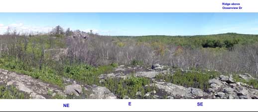 |
| Photos were taken on Aug. 25, 2012 by David Patriquin. The scene can be much more serene or picturesque at other times of day (e.g., there are spectacular sunsets to the west), and in other seasons (e.g., when the huckleberry on the barrens turns fire-engine red, or when the land is snow-laden in winter.) | 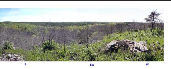 |
Google Map. The green arrow shows the site where the panorma shots were taken. To explore the area further on Google Maps, Copy & paste these coordinates into the Search Bar in Google Maps:
44.616075,-63.594408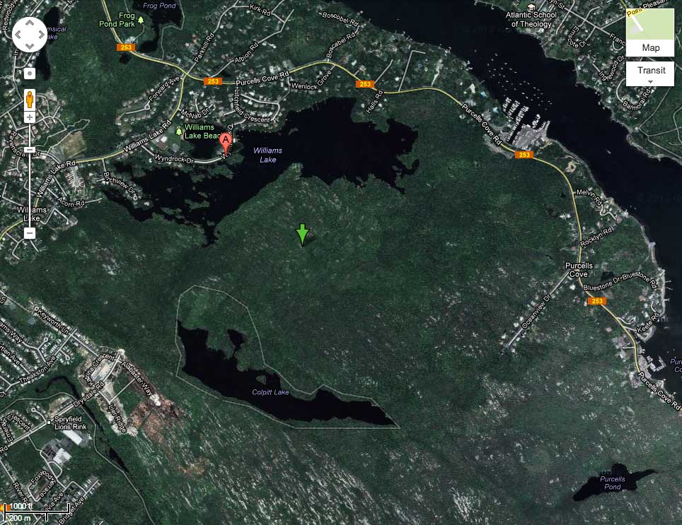 |