Some GPS tools
|
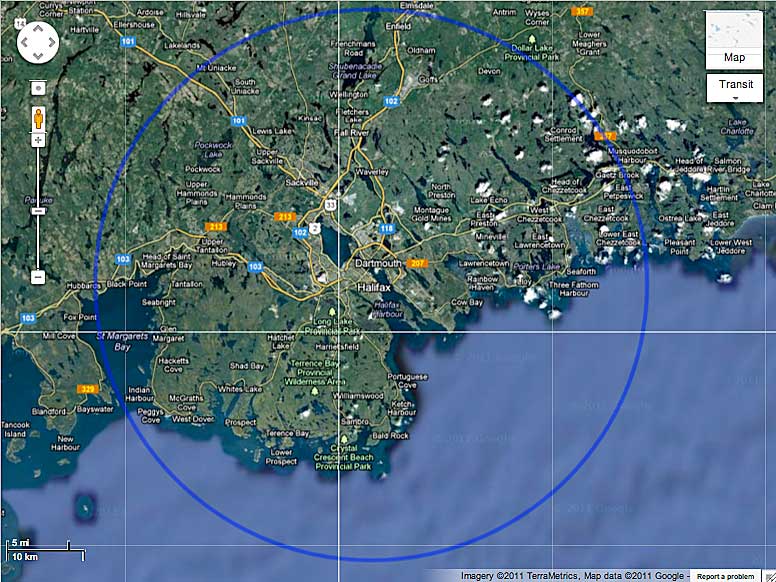
Maps and Info Enter Coordinates, get output in different units and location on Google map. (http://boulter.com/gps/) GPS Visualizer is a free utility that creates customizable maps and profiles from GPS data (tracklogs & waypoints), addresses, or coordinates, also from GPS data embedded in photos. (http://www.gpsvisualizer.com/) 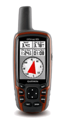 My current field GPS: Garmin 62S | Find the latitude and longitude of a point using Google Maps. (http://itouchmap.com/latlong.html) This tool allows you to calculate distance between points on a google map and total route length You can convert between geographic coordinates and Universal Transverse Mercator (UTM) coordinates using this form. (http://home.hiwaay.net/~taylorc/toolbox/ geography/geoutm.html) This tool allows you to use Google Maps to define an area and then find out the measurement of the enclosed area. You can also generate a KML file from the input data. E.g., draw a circle of 36 km radius around downtown Halifax, Nova Scotia as in My Map. It can be exported as a KML file as well. A little fussy to use, but it is workable. Thanks! |
Posted 30 Jul 2010 | Modified 26 Nov 2014